Croft Wood
Wood, Forest in Lincolnshire North Kesteven
England
Croft Wood

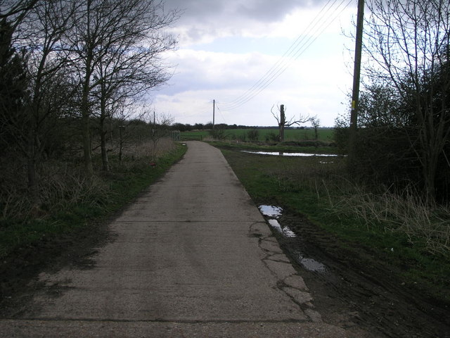
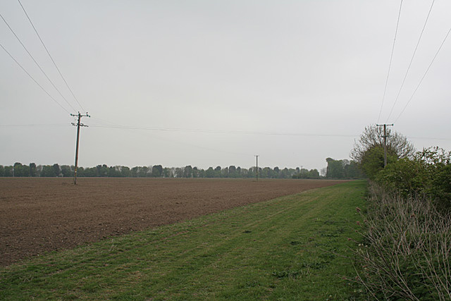
Croft Wood, located in Lincolnshire, is a picturesque woodland area that covers a significant portion of the county. The wood is predominantly made up of deciduous trees, including oak, beech, and birch, which provide a stunning display of colors during the autumn season. It is known for its rich biodiversity, with a variety of flora and fauna thriving within its boundaries.
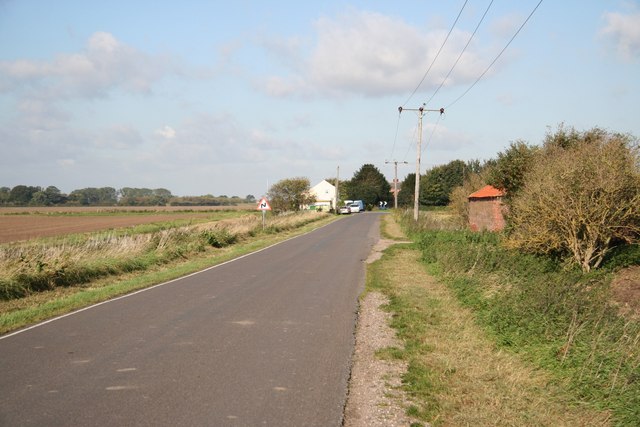
The wood is a popular destination for nature enthusiasts and outdoor lovers, offering a tranquil and serene environment for recreational activities such as walking, hiking, and birdwatching. The well-maintained footpaths and trails allow visitors to explore the wood at their own pace and discover its hidden gems.
Croft Wood is also home to a diverse range of wildlife. The wood provides a habitat for numerous bird species, including woodpeckers, owls, and various songbirds. It is also a sanctuary for small mammals like squirrels, rabbits, and foxes. Nature enthusiasts can often spot these creatures while exploring the wood, adding to the charm and allure of the area.
In addition to its natural beauty, Croft Wood has historical significance. The wood has been a part of the landscape for centuries and has witnessed various human activities throughout its history. It has been used for timber production and charcoal making in the past, contributing to the local economy.
Overall, Croft Wood in Lincolnshire is a captivating woodland area that offers a peaceful retreat for both nature lovers and history enthusiasts. Its diverse ecosystems, scenic beauty, and recreational opportunities make it a must-visit destination for anyone looking to connect with nature and explore the wonders of Lincolnshire's countryside.
If you have any feedback on the listing, please let us know in the comments section below.
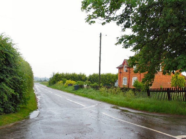
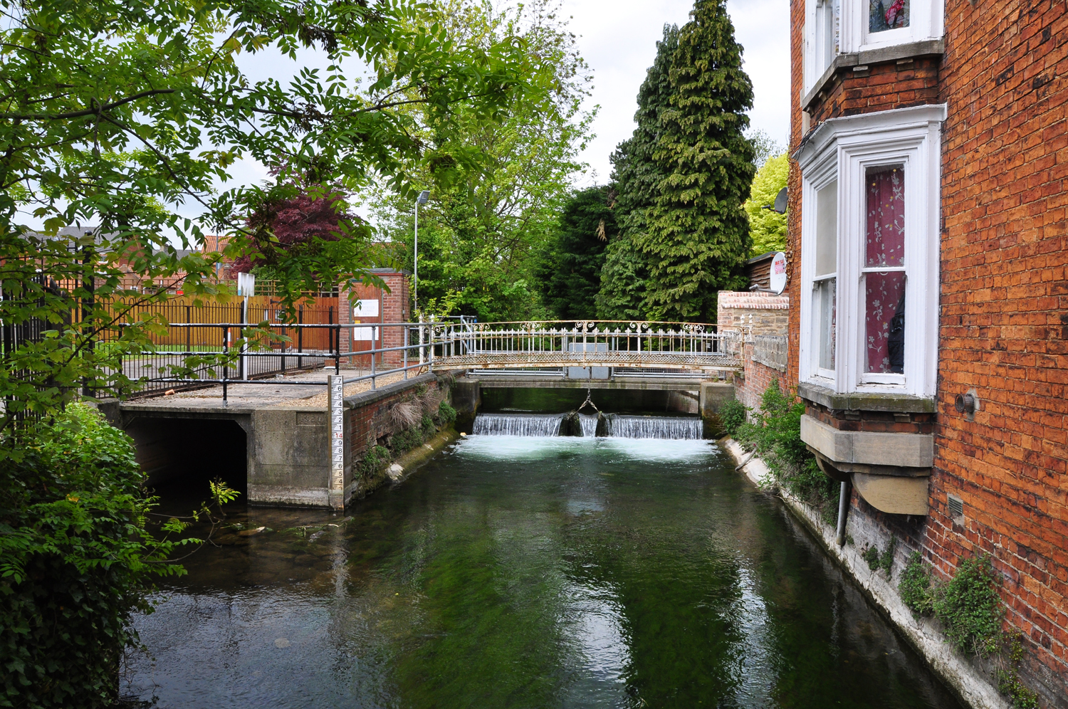
Croft Wood Images
Images are sourced within 2km of 53.035857/-0.24545876 or Grid Reference TF1750. Thanks to Geograph Open Source API. All images are credited.


Croft Wood is located at Grid Ref: TF1750 (Lat: 53.035857, Lng: -0.24545876)
Administrative County: Lincolnshire
District: North Kesteven
Police Authority: Lincolnshire
What 3 Words
///templates.overnight.manly. Near Billinghay, Lincolnshire
Nearby Locations
Related Wikis

South Kyme
South Kyme is a small village and civil parish in the North Kesteven district of Lincolnshire, England. The population of the civil parish at the 2011...
Kyme Priory
Kyme Priory was a priory in South Kyme, Lincolnshire, England. What remains of the buildings are now part of Saint Mary and All Saints Church. The Augustinian...

Car Dyke
The Car Dyke was, and to a large extent still is, a long ditch which runs along the western edge of the Fens in eastern England for a distance of over...

North Kyme
North Kyme is a village and civil parish in the North Kesteven district of Lincolnshire, England. The civil parish had a population of 431 at the 2011...
Harts Ground
Harts Ground or Harts Grounds is a former parish in Holland Fen with Brothertoft parish, and the Borough of Boston, Lincolnshire, England. It is situated...

Pelhams Land
Pelhams Lands or Pelhams Land today forms part of the parish of Holland Fen with Brothertoft and is situated approximately 8 miles (13 km) north-west from...
Ewerby Thorpe
Ewerby Thorpe is a hamlet in the civil parish of Ewerby and Evedon, in the North Kesteven district of Lincolnshire, England. It lies 2 miles (3.2 km) north...
River Slea
The River Slea is a 36.4-kilometre-long (22.6 mi) tributary of the River Witham, in Lincolnshire, England. In 1872 the river was described as "a never...
Nearby Amenities
Located within 500m of 53.035857,-0.24545876Have you been to Croft Wood?
Leave your review of Croft Wood below (or comments, questions and feedback).