Moor Close Spinney
Wood, Forest in Huntingdonshire Huntingdonshire
England
Moor Close Spinney

Moor Close Spinney is a small woodland area located in Huntingdonshire, a county in the eastern part of England. Situated near the town of Huntingdon, this wood is a serene and picturesque natural environment that covers an area of approximately 10 acres.
The wood is characterized by a mix of deciduous and coniferous trees, creating a diverse and vibrant ecosystem. Oak, beech, and birch trees dominate the woodland, providing a lush canopy that offers shade and shelter to a variety of wildlife species. At ground level, a rich understory of ferns, wildflowers, and mosses thrives, adding to the overall beauty of the area.
Moor Close Spinney is home to a wide range of wildlife, serving as a haven for both resident and migratory species. Birdwatchers can spot a variety of avian species such as robins, blackbirds, and blue tits, while lucky visitors may even catch a glimpse of a greater spotted woodpecker or tawny owl. The wood is also inhabited by small mammals like squirrels, hedgehogs, and rabbits, as well as numerous insects and amphibians.
The woodland offers numerous walking trails, allowing visitors to explore and immerse themselves in the natural surroundings. These paths wind through the trees, offering glimpses of wildflowers, bird nests, and small streams that crisscross the area. Moor Close Spinney is a popular spot amongst nature enthusiasts, providing a tranquil escape from the hustle and bustle of urban life.
Overall, Moor Close Spinney in Huntingdonshire is a charming wood that boasts a diverse range of flora and fauna, making it a delightful destination for nature lovers and those seeking a peaceful retreat in the heart of the English countryside.
If you have any feedback on the listing, please let us know in the comments section below.
Moor Close Spinney Images
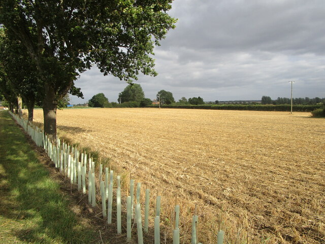
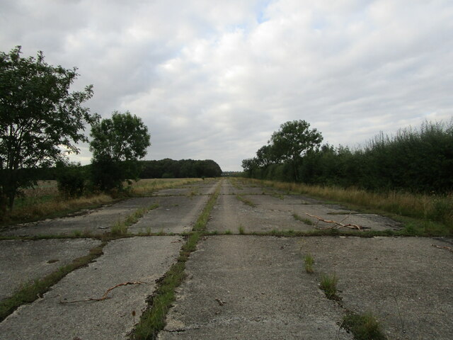
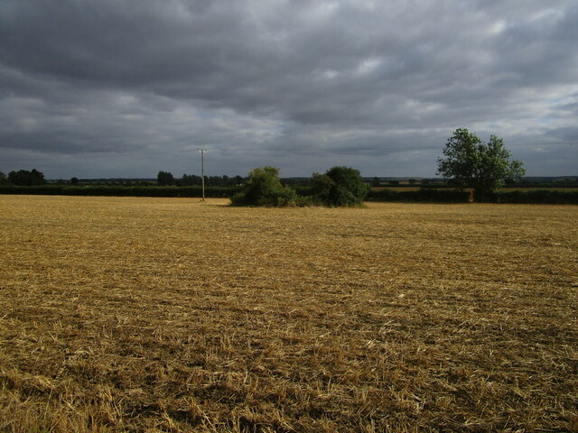
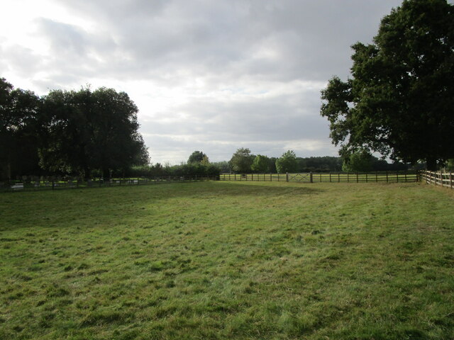
Images are sourced within 2km of 52.46159/-0.26886559 or Grid Reference TL1786. Thanks to Geograph Open Source API. All images are credited.


Moor Close Spinney is located at Grid Ref: TL1786 (Lat: 52.46159, Lng: -0.26886559)
Administrative County: Cambridgeshire
District: Huntingdonshire
Police Authority: Cambridgeshire
What 3 Words
///forgotten.zips.vital. Near Sawtry, Cambridgeshire
Nearby Locations
Related Wikis
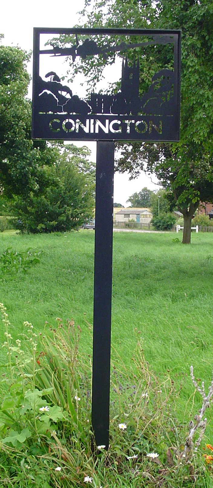
Conington, Huntingdonshire
Conington (Conington All Saints, or "Conington-juxta-Petriburg") is an English village and civil parish in the Cambridgeshire district of Huntingdonshire...

All Saints Church, Conington
All Saints Church is a redundant Anglican church in the village of Conington in the Huntingdonshire district of Cambridgeshire, England. It is recorded...

Conington Castle
Conington Castle was a 16th-century house in Conington, Huntingdonshire, England, built for Sir Robert Cotton. It was demolished in 1956 by the then owner...

RAF Glatton
Royal Air Force Glatton or more simply RAF Glatton is a former Royal Air Force station located 10 miles (16 km) north of Huntingdon, Cambridgeshire, England...
Nearby Amenities
Located within 500m of 52.46159,-0.26886559Have you been to Moor Close Spinney?
Leave your review of Moor Close Spinney below (or comments, questions and feedback).