Eaton Ford Green

Wood, Forest in Bedfordshire Huntingdonshire

England

Eaton Ford Green

St Neots : Church of St Mary Grade II* listed - <span class="nowrap"><a title="https://historicengland.org.uk/listing/the-list/list-entry/1127993?section=official-list-entry" rel="nofollow ugc noopener" href="https://historicengland.org.uk/listing/the-list/list-entry/1127993?section=official-list-entry">Link</a><img style="margin-left:2px;" alt="External link" title="External link - shift click to open in new window" src="https://s1.geograph.org.uk/img/external.png" width="10" height="10"/></span>.
St Neots : Church of St Mary Credit: Jim Osley

Eaton Ford Green is a small village located in the county of Bedfordshire, in the eastern part of England. Situated near the town of St. Neots, Eaton Ford Green is known for its picturesque landscapes and abundant woodlands and forests.

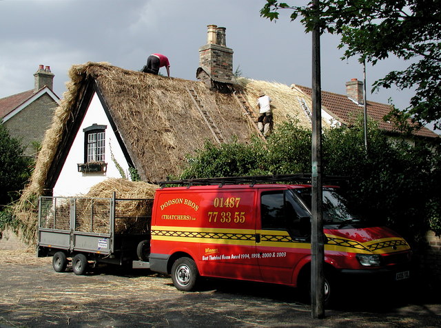
The village is primarily residential, with a population of around 1,500 people. The architecture in Eaton Ford Green is a mix of traditional and modern, with charming cottages and contemporary houses lining the streets. The village is well-maintained, with neatly trimmed hedges and gardens adding to its overall appeal.

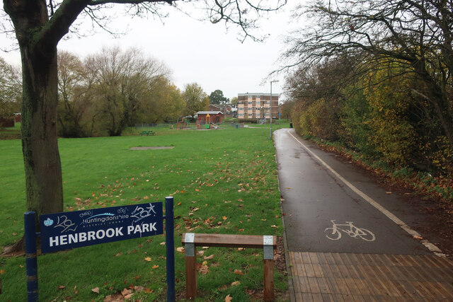
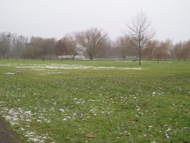
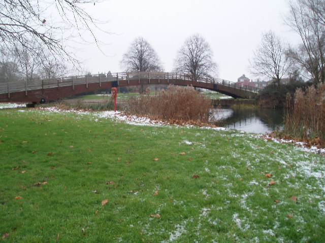
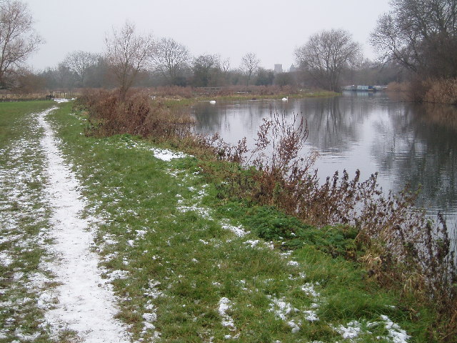
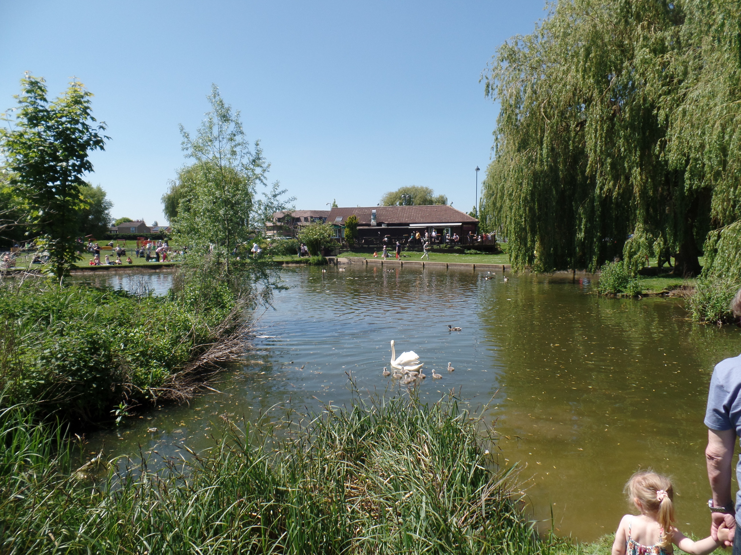
The surrounding woodlands and forests provide a tranquil and serene atmosphere in Eaton Ford Green. These natural areas are perfect for outdoor activities such as hiking, jogging, and birdwatching. The woodlands are home to a variety of wildlife, including deer, rabbits, and various bird species, making it a popular spot for nature enthusiasts.

Within the village, there are several amenities and facilities available to residents. These include a local pub, a primary school, and a village hall that hosts community events and gatherings.

Eaton Ford Green benefits from its close proximity to St. Neots, a larger town that provides residents with additional services and amenities. St. Neots offers a wider range of shops, restaurants, and leisure facilities, as well as good transport links to other parts of the country.

Overall, Eaton Ford Green is a charming village with a strong sense of community, beautiful natural surroundings, and convenient access to nearby amenities.

If you have any feedback on the listing, please let us know in the comments section below.

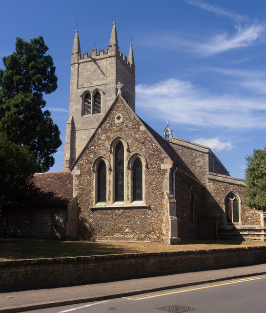
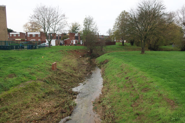
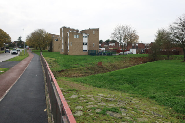
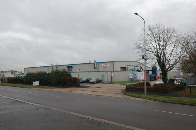
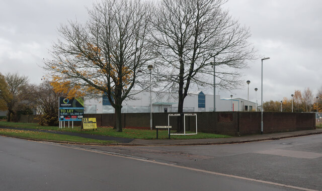
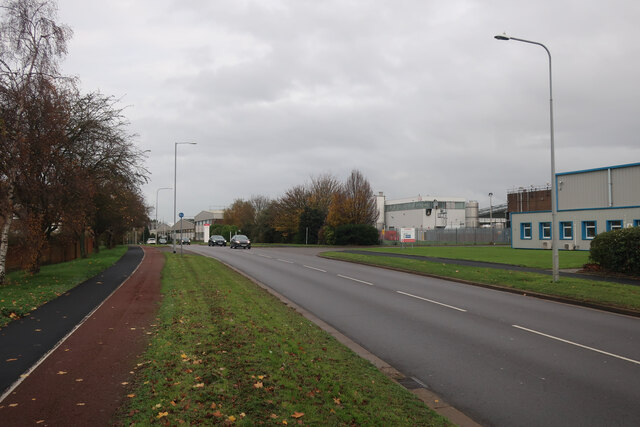
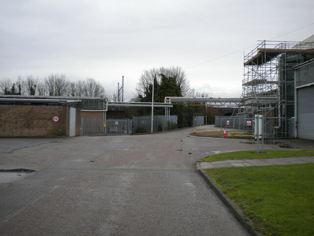
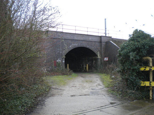
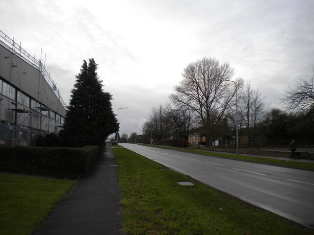
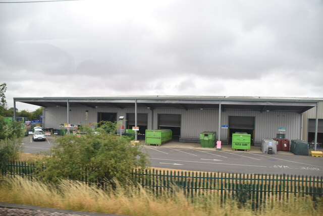
Eaton Ford Green Images

Images are sourced within 2km of 52.226129/-0.27875617 or Grid Reference TL1760. Thanks to Geograph Open Source API. All images are credited.

St Neots : Church of St Mary Grade II* listed - <span class="nowrap"><a title="https://historicengland.org.uk/listing/the-list/list-entry/1127993?section=official-list-entry" rel="nofollow ugc noopener" href="https://historicengland.org.uk/listing/the-list/list-entry/1127993?section=official-list-entry">Link</a><img style="margin-left:2px;" alt="External link" title="External link - shift click to open in new window" src="https://s1.geograph.org.uk/img/external.png" width="10" height="10"/></span>.
St Neots : Church of St Mary
Grade II* listed - LinkExternal link.
Hen Brook, St Neots
Hen Brook, St Neots
Bridge over Hen Brook, St Neots
Henbrook Park, St Neots
Coveris, St Neots Manufacturing various types of packaging.
Coveris, St Neots
Manufacturing various types of packaging.
Marston Business Park, St Neots
Cromwell Road, St Neots
Access road into Sealed Air site, St Neots Off Cromwell Road. Also host to a public footpath.
Access road into Sealed Air site, St Neots
Off Cromwell Road. Also host to a public footpath.
Railway bridge over track, St Neots Carrying the East Coast Main Line across a track that is also a public footpath.
Railway bridge over track, St Neots
Carrying the East Coast Main Line across a track that is also a public footpath.
Cromwell Road, St Neots
St Neots Recycling Centre
The Riverside Park, St Neots
Footbridge over Great Ouse
Ouse Valley Way
Ouse Valley Way
Weir on River Great Ouse
Eynesbury Manor Moorings Footbridge This bridge, and the development opposite, all looks very new; not shown on my 1999 Explorer map. The lifting bridge is hydraulically operated from a control panel nearby.
Eynesbury Manor Moorings Footbridge
This bridge, and the development opposite, all looks very new; not shown on my 1999 Explorer map. The lifting bridge is hydraulically operated from a control panel nearby.
The A1. Looking north up the A1 from the Bushmead Road bridge.
The A1.
Looking north up the A1 from the Bushmead Road bridge.
Eynesbury, St. Neots Thatchers try to get a roof done in the brief sunny spells between rain showers, close to the junction of Howitt's Lane and Berkley Street, Eynesbury.
Eynesbury, St. Neots
Thatchers try to get a roof done in the brief sunny spells between rain showers, close to the junction of Howitt's Lane and Berkley Street, Eynesbury.
Show me another place!

Eaton Ford Green is located at Grid Ref: TL1760 (Lat: 52.226129, Lng: -0.27875617)

Administrative County: Cambridgeshire

District: Huntingdonshire

Police Authority: Cambridgeshire

What 3 Words

///logbook.crusher.support. Near Eaton Socon, Cambridgeshire

Related Wikis

Eaton Socon F.C.

Eaton Socon Football Club is a football club based in St Neots, England. They are currently members of the Spartan South Midlands League Division One and...

Riverside Miniature Railway

The Riverside Miniature Railway (RMR) is situated in Riverside Park, in St Neots, Cambridgeshire. Founded by Ivan Hewlett, the railway is run on a not...

Eaton Ford

Eaton Ford is an area of St Neots, Cambridgeshire, England. It is a mainly residential area also containing Riverside Park, a large area of riverside parkland...

St Neots

St Neots is a town and civil parish in the Huntingdonshire district of Cambridgeshire, England. It is 18 miles (29 km) west of Cambridge. The areas of...

Nearby Amenities

Located within 500m of 52.226129,-0.27875617
Mini Roundabout
Direction: clockwise
Lat/Long: 52.2239579/-0.2820081
Mini Roundabout
Direction: clockwise
Source: dictaphone
Lat/Long: 52.2272284/-0.2858231
Mini Roundabout
Direction: clockwise
Lat/Long: 52.2262102/-0.2781108
Mini Roundabout
Direction: clockwise
Lat/Long: 52.2240831/-0.2817706
Noexit: yes
Lat/Long: 52.2255256/-0.2806436
Barrier: bollard
Lat/Long: 52.2258078/-0.2748552
Parking
Created By: Potlatch 0.10d
Lat/Long: 52.2239301/-0.2798168
Turning Circle
Lat/Long: 52.2279819/-0.2838319
Turning Circle
Lat/Long: 52.2294265/-0.2829469
Turning Circle
Lat/Long: 52.2289418/-0.2837457
Turning Circle
Lat/Long: 52.2287683/-0.2829102
Mini Roundabout
Direction: clockwise
Source: dictaphone
Lat/Long: 52.2259866/-0.2858196
Turning Circle
Lat/Long: 52.228467/-0.2786023
Bus Stop
Bus: yes
Public Transport: platform
Lat/Long: 52.2235058/-0.283127
Bus Stop
Bus: yes
Public Transport: platform
Lat/Long: 52.2266183/-0.2765009
Bus Stop
Eaton Ford Green
Bus: yes
Naptan AtcoCode: 0500HSTNS018
Naptan Bearing: W
Naptan CommonName: Eaton Ford Green
Naptan Indicator: opp
Naptan Landmark: The Paddock
Naptan NaptanCode: cmbdtdam
Naptan ShortCommonName: Eaton Ford Green
Naptan Street: St Neots Road
Naptan Verified: no
Public Transport: platform
Source: naptan_import
Lat/Long: 52.2266549/-0.2766092
Bus Stop
River Road
Bus: yes
Naptan AtcoCode: 0500HSTNS037
Naptan Bearing: NE
Naptan CommonName: River Road
Naptan Indicator: opp
Naptan Landmark: River Road
Naptan NaptanCode: cmbdtdmd
Naptan ShortCommonName: River Road
Naptan Street: St Neots Road
Naptan Verified: no
Public Transport: platform
Source: naptan_import
Lat/Long: 52.2239065/-0.2823671
Bus Stop
River Road
Bus: yes
Naptan AtcoCode: 0500HSTNS038
Naptan Bearing: SW
Naptan CommonName: River Road
Naptan Indicator: near
Naptan Landmark: River Road
Naptan NaptanCode: cmbdtdmg
Naptan ShortCommonName: River Road
Naptan Street: St Neots Road
Naptan Verified: no
Public Transport: platform
Source: naptan_import
Lat/Long: 52.2234517/-0.2833077
Bus Stop
Duloe Road
Bus: yes
Naptan AtcoCode: 0500HSTNS040
Naptan Bearing: W
Naptan CommonName: Duloe Road
Naptan Indicator: opp
Naptan Landmark: Trafalgar Road
Naptan NaptanCode: cmbdtdmp
Naptan ShortCommonName: Duloe Road
Naptan Street: Mill Hill Road
Public Transport: platform
Source: naptan_import;survey
Lat/Long: 52.2281596/-0.2836087
Bus Stop
Eaton Ford Green
Bus: yes
Naptan AtcoCode: 0500HSTNS051
Naptan Bearing: NE
Naptan CommonName: Eaton Ford Green
Naptan Indicator: near
Naptan Landmark: Eaton Ford Green
Naptan NaptanCode: cmbdtdtd
Naptan ShortCommonName: Eaton Ford Green
Naptan Street: St Neots Road
Naptan Verified: no
Public Transport: platform
Source: naptan_import
Lat/Long: 52.2260267/-0.278537
Crossing
Crossing: unmarked
Crossing Markings: no
Tactile Paving: yes
Lat/Long: 52.2260002/-0.2756669
Crossing
Crossing: unmarked
Crossing Markings: no
Tactile Paving: yes
Lat/Long: 52.2269492/-0.2755769
Post Box
Collection Times: Mo-Fr 17:30; Sa 11:45
Location: On the verge, between the bus shelter and the bench, on the N side of the road.
Post Box Mounting: pier
Post Box Type: lamp
Ref: PE19 104
Lat/Long: 52.226021/-0.278585
Post Box
Collection Plate: CP8
Collection Times: Mo-Fr 17:30; Sa 11:45
Location: At the start of the layby on the N side of the road, 40m SW of the One-Stop Shop/
Post Box Design: type_k
Post Box Type: pillar
Ref: PE19 106
Royal Cypher: EIIR
Royal Cypher Wikidata: Q33102113
Lat/Long: 52.223209/-0.284293
Leisure: slipway
Seamark Small Craft Facility Category: slipway
Seamark Type: small_craft_facility
Lat/Long: 52.2258544/-0.2714828
Crossing
Crossing: unmarked
Crossing Markings: no
Traffic Calming: table
Lat/Long: 52.2256224/-0.2857915
Barrier: bollard
Lat/Long: 52.226242/-0.2750384
Barrier: bollard
Lat/Long: 52.2261282/-0.2747777
Barrier: bollard
Lat/Long: 52.2262299/-0.2750792
Barrier: bollard
Lat/Long: 52.2259605/-0.2749081
Bench
Lat/Long: 52.226904/-0.2737587
The Barley Mow
Entrance: main
Lat/Long: 52.2274964/-0.2767699
Crossing
Crossing: unmarked
Crossing Markings: no
Tactile Paving: yes
Lat/Long: 52.2266661/-0.2758159
Barrier: kissing_gate
Lat/Long: 52.2282777/-0.2765012
Crossing
Crossing: unmarked
Crossing Markings: no
Tactile Paving: yes
Lat/Long: 52.226871/-0.2755887
Crossing
Crossing: unmarked
Crossing Markings: no
Tactile Paving: yes
Lat/Long: 52.2270037/-0.2761766
Crossing
Crossing: unmarked
Crossing Markings: no
Tactile Paving: yes
Lat/Long: 52.2270449/-0.2760743
Bus Stop
Adj Milton Avenue
Bus: yes
Naptan AtcoCode: 0500HSTNS120
Naptan NaptanCode: CMBGMAWA
Network: 63
Operator: Stagecoach
Public Transport: platform
Lat/Long: 52.2303406/-0.2762668
Turning Circle
Lat/Long: 52.2289209/-0.2796269
Turning Circle
Lat/Long: 52.2282325/-0.2792925
Noexit: yes
Lat/Long: 52.2294353/-0.2772171
Barrier: swing_gate
Lat/Long: 52.2291759/-0.2762646
Barrier: swing_gate
Lat/Long: 52.2298471/-0.276149
Bench
Lat/Long: 52.22847/-0.2737863
Bench
Lat/Long: 52.2275377/-0.2742979
Bench
Lat/Long: 52.2293058/-0.2739355
Bench
Lat/Long: 52.2289075/-0.2738605
Bench
Lat/Long: 52.2287297/-0.2752783
Barrier: kissing_gate
Lat/Long: 52.2231253/-0.2775196
Power: pole
Lat/Long: 52.2232541/-0.2732947
Power: pole
Lat/Long: 52.2220976/-0.2756439
Power: pole
Lat/Long: 52.2232669/-0.2734419
Crossing
Crossing: unmarked
Crossing Markings: no
Tactile Paving: no
Lat/Long: 52.2268189/-0.2762466
Crossing
Crossing: unmarked
Crossing Markings: no
Tactile Paving: no
Lat/Long: 52.226757/-0.2762059
Noexit: yes
Lat/Long: 52.2253709/-0.2806556
Turning Circle
Lat/Long: 52.2280974/-0.2847555
The Scout Hut
Entrance: yes
Note: Often a polling station
Lat/Long: 52.2269825/-0.2788576
History Of Cross Hall Ford
Historic: memorial
Note: History of the small Hamlet of Cross Hall Ford and it's buildings
Lat/Long: 52.2272079/-0.2766112
St Neots Jubilee Beacon
Height: 4
Historic: monument
Lat/Long: 52.2290695/-0.2748756
Turning Circle
Lat/Long: 52.2296992/-0.2820371
Turning Circle
Lat/Long: 52.2291585/-0.2821099
Railway: level_crossing
Lat/Long: 52.2253062/-0.2742352
Riverside Miniature Railway
Access: yes
Entrance: main
Wheelchair: yes
Lat/Long: 52.2251809/-0.2744628
Barrier: bollard
Lat/Long: 52.2254005/-0.2743741
Railway: level_crossing
Lat/Long: 52.2247256/-0.2751282
Railway: turntable
Lat/Long: 52.2250505/-0.2748166
Barrier: bollard
Lat/Long: 52.2232113/-0.2770941
Crossing
Lat/Long: 52.2276466/-0.2856048
Bench
Lat/Long: 52.2220322/-0.2762314
Bench
Lat/Long: 52.2224881/-0.2746771
Bench
Lat/Long: 52.2222708/-0.2755173
Bench
Lat/Long: 52.2224521/-0.2765527
Bench
Lat/Long: 52.2230978/-0.2739084
Bench
Lat/Long: 52.22467/-0.2734452
Bench
Lat/Long: 52.2243027/-0.2742487
Bench
Lat/Long: 52.22389/-0.2736406
Bench
Lat/Long: 52.2236318/-0.2727332
Bench
Lat/Long: 52.2234179/-0.2739656
Bench
Lat/Long: 52.2250073/-0.272603
Bench
Lat/Long: 52.2241038/-0.2727955
Bench
Lat/Long: 52.2254254/-0.2735119
Bench
Lat/Long: 52.225267/-0.2723141
Bench
Lat/Long: 52.2256772/-0.2722605
Bench
Lat/Long: 52.2256566/-0.2730388
Bench
Lat/Long: 52.2262054/-0.272322
Bench
Lat/Long: 52.2260115/-0.2725562
Bench
Lat/Long: 52.2258963/-0.2721725
Bench
Lat/Long: 52.2271723/-0.2728004
Bench
Lat/Long: 52.2267128/-0.2726917
Barrier: bollard
Lat/Long: 52.224375/-0.2763536
Eaton Ford
Is In: Cambridgeshire
Place: suburb
Source: Royal mail addresses, wkipedia
Wikidata: Q1520261
Lat/Long: 52.2262531/-0.2787842
Addr City: St Neots
Addr Postcode: PE19 7JW
Building: yes
Lat/Long: 52.2229624/-0.2836704
Generator Method: photovoltaic
Generator Output Electricity: yes
Generator Source: solar
Generator Type: solar_photovoltaic_panel
Location: roof
Power: generator
Lat/Long: 52.2281066/-0.2822945
Generator Method: photovoltaic
Generator Output Electricity: yes
Generator Source: solar
Generator Type: solar_photovoltaic_panel
Location: roof
Power: generator
Lat/Long: 52.2287852/-0.2839749
Generator Method: photovoltaic
Generator Output Electricity: yes
Generator Source: solar
Generator Type: solar_photovoltaic_panel
Location: roof
Power: generator
Lat/Long: 52.2288024/-0.2814174
Generator Method: photovoltaic
Generator Output Electricity: yes
Generator Source: solar
Generator Type: solar_photovoltaic_panel
Location: roof
Power: generator
Lat/Long: 52.228802/-0.281463
Generator Method: photovoltaic
Generator Output Electricity: yes
Generator Source: solar
Generator Type: solar_photovoltaic_panel
Location: roof
Power: generator
Lat/Long: 52.2283638/-0.2809359
Generator Method: photovoltaic
Generator Output Electricity: yes
Generator Source: solar
Generator Type: solar_photovoltaic_panel
Location: roof
Power: generator
Lat/Long: 52.2283638/-0.280885
Generator Method: photovoltaic
Generator Output Electricity: yes
Generator Source: solar
Generator Type: solar_photovoltaic_panel
Location: roof
Power: generator
Lat/Long: 52.2281584/-0.2802882
Generator Method: photovoltaic
Generator Output Electricity: yes
Generator Source: solar
Generator Type: solar_photovoltaic_panel
Location: roof
Power: generator
Lat/Long: 52.228137/-0.2800655
Generator Method: photovoltaic
Generator Output Electricity: yes
Generator Source: solar
Generator Type: solar_photovoltaic_panel
Location: roof
Power: generator
Lat/Long: 52.2285962/-0.2773243
Generator Method: photovoltaic
Generator Output Electricity: yes
Generator Source: solar
Generator Type: solar_photovoltaic_panel
Location: roof
Power: generator
Lat/Long: 52.2283818/-0.2773699
Generator Method: photovoltaic
Generator Output Electricity: yes
Generator Source: solar
Generator Type: solar_photovoltaic_panel
Location: roof
Power: generator
Lat/Long: 52.2283777/-0.2773069
Generator Method: photovoltaic
Generator Output Electricity: yes
Generator Source: solar
Generator Type: solar_photovoltaic_panel
Location: roof
Power: generator
Lat/Long: 52.2280713/-0.2795881
Generator Method: photovoltaic
Generator Output Electricity: yes
Generator Source: solar
Generator Type: solar_photovoltaic_panel
Location: roof
Power: generator
Lat/Long: 52.2282126/-0.2786104
Generator Method: photovoltaic
Generator Output Electricity: yes
Generator Source: solar
Generator Type: solar_photovoltaic_panel
Location: roof
Power: generator
Lat/Long: 52.2287778/-0.2798402
Generator Method: photovoltaic
Generator Output Electricity: yes
Generator Source: solar
Generator Type: solar_photovoltaic_panel
Location: roof
Power: generator
Lat/Long: 52.228505/-0.2804397
Generator Method: photovoltaic
Generator Output Electricity: yes
Generator Source: solar
Generator Type: solar_photovoltaic_panel
Location: roof
Power: generator
Lat/Long: 52.2285026/-0.280382
Generator Method: photovoltaic
Generator Output Electricity: yes
Generator Source: solar
Generator Type: solar_photovoltaic_panel
Location: roof
Power: generator
Lat/Long: 52.2288131/-0.2803753
Generator Method: photovoltaic
Generator Output Electricity: yes
Generator Source: solar
Generator Type: solar_photovoltaic_panel
Location: roof
Power: generator
Lat/Long: 52.2288197/-0.280323
Generator Method: photovoltaic
Generator Output Electricity: yes
Generator Source: solar
Generator Type: solar_photovoltaic_panel
Location: roof
Power: generator
Lat/Long: 52.2293996/-0.2803177
Generator Method: photovoltaic
Generator Output Electricity: yes
Generator Source: solar
Generator Type: solar_photovoltaic_panel
Location: roof
Power: generator
Lat/Long: 52.2291031/-0.2802278
Generator Method: photovoltaic
Generator Output Electricity: yes
Generator Source: solar
Generator Type: solar_photovoltaic_panel
Location: roof
Power: generator
Lat/Long: 52.2290989/-0.2801205
Generator Method: photovoltaic
Generator Output Electricity: yes
Generator Source: solar
Generator Type: solar_photovoltaic_panel
Location: roof
Power: generator
Lat/Long: 52.2290677/-0.2797464
Generator Method: photovoltaic
Generator Output Electricity: yes
Generator Source: solar
Generator Type: solar_photovoltaic_panel
Location: roof
Power: generator
Lat/Long: 52.2292714/-0.2789886
Generator Method: photovoltaic
Generator Output Electricity: yes
Generator Source: solar
Generator Type: solar_photovoltaic_panel
Location: roof
Power: generator
Lat/Long: 52.2292673/-0.2789028
Generator Method: photovoltaic
Generator Output Electricity: yes
Generator Source: solar
Generator Type: solar_photovoltaic_panel
Location: roof
Power: generator
Lat/Long: 52.2303278/-0.2764633
Generator Method: photovoltaic
Generator Output Electricity: yes
Generator Source: solar
Generator Type: solar_photovoltaic_panel
Location: roof
Power: generator
Lat/Long: 52.230212/-0.2773404
Generator Method: photovoltaic
Generator Output Electricity: yes
Generator Source: solar
Generator Type: solar_photovoltaic_panel
Location: roof
Power: generator
Lat/Long: 52.2304666/-0.2773485
Generator Method: photovoltaic
Generator Output Electricity: yes
Generator Source: solar
Generator Type: solar_photovoltaic_panel
Location: roof
Power: generator
Lat/Long: 52.2304666/-0.2794714
Generator Method: photovoltaic
Generator Output Electricity: yes
Generator Source: solar
Generator Type: solar_photovoltaic_panel
Location: roof
Power: generator
Lat/Long: 52.2300986/-0.2792461
Generator Method: photovoltaic
Generator Output Electricity: yes
Generator Source: solar
Generator Type: solar_photovoltaic_panel
Location: roof
Power: generator
Lat/Long: 52.2297528/-0.280492
Generator Method: photovoltaic
Generator Output Electricity: yes
Generator Source: solar
Generator Type: solar_photovoltaic_panel
Location: roof
Power: generator
Lat/Long: 52.2294735/-0.2806824
Generator Method: photovoltaic
Generator Output Electricity: yes
Generator Source: solar
Generator Type: solar_photovoltaic_panel
Location: roof
Power: generator
Lat/Long: 52.2296838/-0.282332
Generator Method: photovoltaic
Generator Output Electricity: yes
Generator Source: solar
Generator Type: solar_photovoltaic_panel
Location: roof
Power: generator
Lat/Long: 52.2297914/-0.2817446
Generator Method: photovoltaic
Generator Output Electricity: yes
Generator Source: solar
Generator Type: solar_photovoltaic_panel
Location: roof
Power: generator
Lat/Long: 52.2238004/-0.2812055
Generator Method: photovoltaic
Generator Output Electricity: yes
Generator Source: solar
Generator Type: solar_photovoltaic_panel
Location: roof
Power: generator
Lat/Long: 52.2225056/-0.2830347
Generator Method: photovoltaic
Generator Output Electricity: yes
Generator Source: solar
Generator Type: solar_photovoltaic_panel
Location: roof
Power: generator
Lat/Long: 52.2228326/-0.2830213
Fee: yes
Seamark Small Craft Facility Category: water_tap
Seamark Type: small_craft_facility
Waterway: water_point
Lat/Long: 52.2257951/-0.2715028
Noexit: yes
Lat/Long: 52.2251093/-0.2746478
Crossing
Lat/Long: 52.2239047/-0.2819491
Generator Method: photovoltaic
Generator Output Electricity: yes
Generator Source: solar
Generator Type: solar_photovoltaic_panel
Location: roof
Power: generator
Lat/Long: 52.2273131/-0.2853146
Generator Method: photovoltaic
Generator Output Electricity: yes
Generator Source: solar
Generator Type: solar_photovoltaic_panel
Location: roof
Power: generator
Lat/Long: 52.227622/-0.2847058
Generator Method: photovoltaic
Generator Output Electricity: yes
Generator Source: solar
Generator Type: solar_photovoltaic_panel
Location: roof
Power: generator
Lat/Long: 52.2276647/-0.28418
Generator Method: photovoltaic
Generator Output Electricity: yes
Generator Source: solar
Generator Type: solar_photovoltaic_panel
Location: roof
Power: generator
Lat/Long: 52.2276236/-0.2819082
Generator Method: photovoltaic
Generator Output Electricity: yes
Generator Source: solar
Generator Type: solar_photovoltaic_panel
Location: roof
Power: generator
Lat/Long: 52.22776/-0.2777937
Generator Method: photovoltaic
Generator Output Electricity: yes
Generator Source: solar
Generator Type: solar_photovoltaic_panel
Location: roof
Power: generator
Lat/Long: 52.2276286/-0.2790034
Generator Method: photovoltaic
Generator Output Electricity: yes
Generator Source: solar
Generator Type: solar_photovoltaic_panel
Location: roof
Power: generator
Lat/Long: 52.2255272/-0.282104
Generator Method: photovoltaic
Generator Output Electricity: yes
Generator Source: solar
Generator Type: solar_photovoltaic_panel
Location: roof
Power: generator
Lat/Long: 52.2254598/-0.2817634
Generator Method: photovoltaic
Generator Output Electricity: yes
Generator Source: solar
Generator Type: solar_photovoltaic_panel
Location: roof
Power: generator
Lat/Long: 52.2244724/-0.2813664
Generator Method: photovoltaic
Generator Output Electricity: yes
Generator Source: solar
Generator Type: solar_photovoltaic_panel
Location: roof
Power: generator
Lat/Long: 52.2245044/-0.2813946
Generator Method: photovoltaic
Generator Output Electricity: yes
Generator Source: solar
Generator Type: solar_photovoltaic_panel
Location: roof
Power: generator
Lat/Long: 52.2248404/-0.279336
Generator Method: photovoltaic
Generator Output Electricity: yes
Generator Source: solar
Generator Type: solar_photovoltaic_panel
Location: roof
Power: generator
Lat/Long: 52.2248716/-0.2793145
Generator Method: photovoltaic
Generator Output Electricity: yes
Generator Source: solar
Generator Type: solar_photovoltaic_panel
Location: roof
Power: generator
Lat/Long: 52.2258755/-0.2776663
Generator Method: photovoltaic
Generator Output Electricity: yes
Generator Source: solar
Generator Type: solar_photovoltaic_panel
Location: roof
Power: generator
Lat/Long: 52.2254845/-0.2780297
Generator Method: photovoltaic
Generator Output Electricity: yes
Generator Source: solar
Generator Type: solar_photovoltaic_panel
Location: roof
Power: generator
Lat/Long: 52.2247796/-0.2775711
Generator Method: photovoltaic
Generator Output Electricity: yes
Generator Source: solar
Generator Type: solar_photovoltaic_panel
Location: roof
Power: generator
Lat/Long: 52.2254796/-0.2763332
Generator Method: photovoltaic
Generator Output Electricity: yes
Generator Source: solar
Generator Type: solar_photovoltaic_panel
Location: roof
Power: generator
Lat/Long: 52.2257096/-0.2767356
Generator Method: photovoltaic
Generator Output Electricity: yes
Generator Source: solar
Generator Type: solar_photovoltaic_panel
Location: roof
Power: generator
Lat/Long: 52.2244223/-0.2830683
Generator Method: photovoltaic
Generator Output Electricity: yes
Generator Source: solar
Generator Type: solar_photovoltaic_panel
Location: roof
Power: generator
Lat/Long: 52.2240953/-0.2842927
Generator Method: photovoltaic
Generator Output Electricity: yes
Generator Source: solar
Generator Type: solar_photovoltaic_panel
Location: roof
Power: generator
Lat/Long: 52.2241454/-0.2843611
Generator Method: photovoltaic
Generator Output Electricity: yes
Generator Source: solar
Generator Type: solar_photovoltaic_panel
Location: roof
Power: generator
Lat/Long: 52.2241602/-0.284459
Generator Method: photovoltaic
Generator Output Electricity: yes
Generator Source: solar
Generator Type: solar_photovoltaic_panel
Location: roof
Power: generator
Lat/Long: 52.2253218/-0.2840728
Charging Station
Capacity: 2
Motorcar: yes
Operator: Pod Point
Operator Wikidata: Q42888154
Lat/Long: 52.226635/-0.2752932
Defibrillator
Access: yes
Colour: yellow
Defibrillator Location: Outside wall of Ambience, facing car park
Emergency: defibrillator
Indoor: no
Lat/Long: 52.2259525/-0.2745263
Bicycle Parking
Bicycle Parking: stands
Covered: yes
Lat/Long: 52.2267126/-0.2746716
Noexit: yes
Lat/Long: 52.2277754/-0.2772252
Crossing
Crossing: unmarked
Crossing Markings: no
Traffic Calming: table
Lat/Long: 52.2259903/-0.2859609
Barrier: cycle_barrier
Bicycle: yes
Description: Chicane hoops
Foot: yes
Lat/Long: 52.2258875/-0.2757766
Stonemasons
Historic: memorial
Inscription: This eighteenth century listed cottage was originally two separate dwellings. A major stonemason's business, serving the region for over two centuries, was operated from a yard to the rear.
Memorial: plaque
Openplaques Id: 59566
Subject Wikidata: Q26421607
Lat/Long: 52.2266176/-0.2765941
Avenue Farm
Historic: memorial
Inscription: Avenue Farm Named after an avenue of Chestnut trees, this farmhouse was linked with Ford House for many centuries. In 1800 both were owned by George James Gorham who founded St Neots Bank. In the 1840s the properties were sold and this farm became separat
Memorial: plaque
Openplaques Id: 59567
Subject Wikidata: Q26615600
Lat/Long: 52.2253697/-0.2791871
St Neots Bridge
Historic: memorial
Inscription: Ministry of Transport St Neots Bridge Reconstructed 1964
Memorial: plaque
Lat/Long: 52.2275337/-0.2718709
Alfred Rowlett
Historic: memorial
Inscription: Alfred Rowlett, herbalist and antique dealer, lived here in the 1920s, 1930s and 1940s. A well known local character and story teller, he claimed to have discovered Bunyan's Anvil which is now in a Bedford museum.
Memorial: plaque
Openplaques Id: 59565
Lat/Long: 52.2266732/-0.2762553
The data included in this document is from www.openstreetmap.org. The data is made available under ODbL.

Have you been to Eaton Ford Green?

Leave your review of Eaton Ford Green below (or comments, questions and feedback).