Hermitage Grove

Wood, Forest in Huntingdonshire Huntingdonshire

England

Hermitage Grove

A1(M) southbound, climbing Stangate Hill towards Alconbury The junction ahead marks the point where the Old North Road, via Huntingdon, Royston and Ware, diverged from the Great North Road that took a more westerly course.
A1(M) southbound, climbing Stangate Hill towards Alconbury Credit: Christopher Hilton

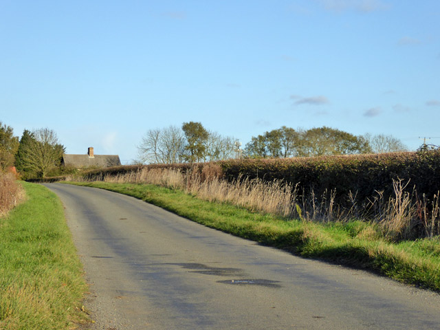
Hermitage Grove, located in Huntingdonshire, is a stunning woodland area that offers a tranquil and picturesque escape from the bustling city life. Situated in the eastern part of the county, this forest is known for its diverse range of flora and fauna, making it a popular spot for nature lovers and outdoor enthusiasts.

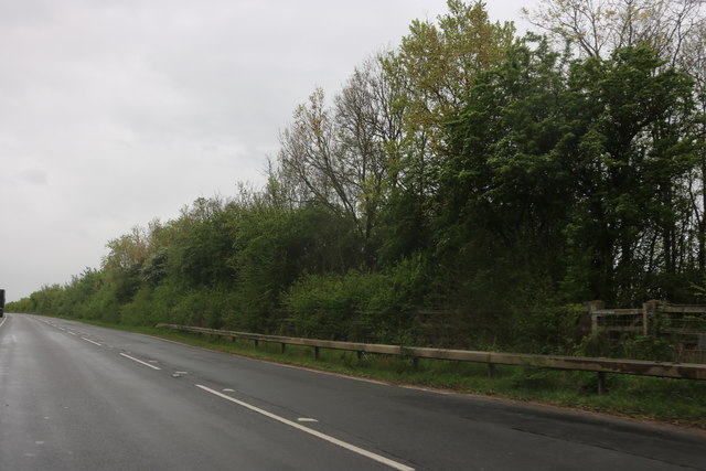
Covering an area of approximately 100 acres, Hermitage Grove is characterized by its dense canopy of towering trees, including oak, beech, and pine, which provide a habitat for a wide variety of wildlife. Visitors can expect to spot squirrels, rabbits, and a myriad of bird species, including woodpeckers and owls, as they explore the forest's winding paths and trails.

The woodlands are particularly enchanting during spring, when the forest floor is carpeted with vibrant bluebells and wildflowers, creating a breathtaking sight. In autumn, the changing colors of the leaves offer a stunning display of reds, oranges, and yellows, attracting photographers and nature enthusiasts alike.

Hermitage Grove also has several picnic areas and benches scattered throughout, allowing visitors to relax and enjoy the peaceful surroundings. The forest is well-maintained, with clear signposts and designated walking routes, making it accessible for people of all ages and abilities.

Additionally, the forest is home to a small stream that meanders through the woodland, adding to the serene atmosphere and providing a perfect backdrop for those seeking a moment of tranquility.

In summary, Hermitage Grove in Huntingdonshire is a beautiful woodland destination that offers a peaceful retreat for nature lovers. With its diverse range of flora and fauna, well-maintained trails, and picturesque scenery, it is an ideal location for a leisurely stroll, a family picnic, or simply an escape into nature.

If you have any feedback on the listing, please let us know in the comments section below.

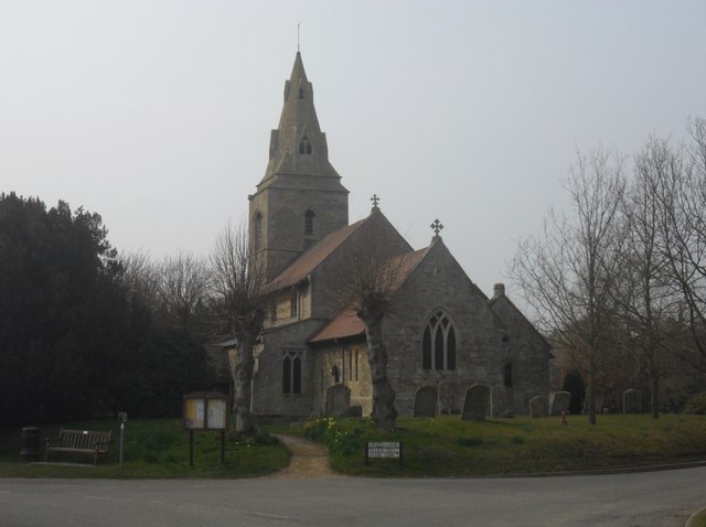
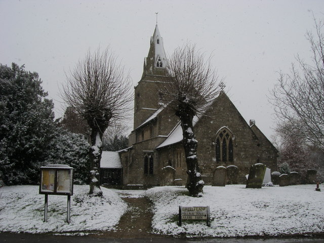
Hermitage Grove Images

Images are sourced within 2km of 52.40953/-0.27428624 or Grid Reference TL1780. Thanks to Geograph Open Source API. All images are credited.

A1(M) southbound, climbing Stangate Hill towards Alconbury The junction ahead marks the point where the Old North Road, via Huntingdon, Royston and Ware, diverged from the Great North Road that took a more westerly course.
A1(M) southbound, climbing Stangate Hill towards Alconbury
The junction ahead marks the point where the Old North Road, via Huntingdon, Royston and Ware, diverged from the Great North Road that took a more westerly course.
A1(M) - gantries on Stangate Hill No messages today - traffic is flowing smoothly. In the opposite direction signs are displayed for the A1 - A14 junction.
A1(M) - gantries on Stangate Hill
No messages today - traffic is flowing smoothly. In the opposite direction signs are displayed for the A1 - A14 junction.
A1(M), Stangate Hill The A1 is the longest numbered road in the UK at 410 miles long. It connects London with Edinburgh, via the east of England. 
For much of its path it follows the Great North Road the old coaching route between London and Edinburgh. Several sections of the route are classified as motorway A1(M). The modern A1 bypasses the towns the Great North Road passed through and is dual carriageway for most of its route through England.
A1(M), Stangate Hill
The A1 is the longest numbered road in the UK at 410 miles long. It connects London with Edinburgh, via the east of England. For much of its path it follows the Great North Road the old coaching route between London and Edinburgh. Several sections of the route are classified as motorway A1(M). The modern A1 bypasses the towns the Great North Road passed through and is dual carriageway for most of its route through England.
St Margaret, Upton
St Margaret, Upton
St Margaret, Upton Interesting to note the tower is rectangular shaped with West/East wider than the other 2 sides, another example of this can be seen at Peterborough Cathedral's bell tower <a href="https://www.geograph.org.uk/photo/3197251">TL1998 : Cathedral Bell Tower</a>.
St Margaret, Upton
Interesting to note the tower is rectangular shaped with West/East wider than the other 2 sides, another example of this can be seen at Peterborough Cathedral's bell tower TL1998 : Cathedral Bell Tower.
St Margaret, Upton Interior facing the Chancel.
St Margaret, Upton
Interior facing the Chancel.
A1(M) north of Alconbury Straight road ahead. The B1043 runs alongside for some distance.
A1(M) north of Alconbury
Straight road ahead. The B1043 runs alongside for some distance.
A1(M) near Coppingford The road continues to run straight, almost north.
A1(M) near Coppingford
The road continues to run straight, almost north.
A1(M) at Stargate Hill
Gantry, A1(M) The A1 is the longest numbered road in the UK at 410 miles long. It connects London with Edinburgh, via the east of England. 
For much of its path it follows the Great North Road the old coaching route between London and Edinburgh. Several sections of the route are classified as motorway A1(M). The modern A1 bypasses the towns the Great North Road passed through and is dual carriageway for most of its route through England.
Gantry, A1(M)
The A1 is the longest numbered road in the UK at 410 miles long. It connects London with Edinburgh, via the east of England. For much of its path it follows the Great North Road the old coaching route between London and Edinburgh. Several sections of the route are classified as motorway A1(M). The modern A1 bypasses the towns the Great North Road passed through and is dual carriageway for most of its route through England.
A1(M), northbound The A1 is the longest numbered road in the UK at 410 miles long. It connects London with Edinburgh, via the east of England. 
For much of its path it follows the Great North Road the old coaching route between London and Edinburgh. Several sections of the route are classified as motorway A1(M). The modern A1 bypasses the towns the Great North Road passed through and is dual carriageway for most of its route through England.
A1(M), northbound
The A1 is the longest numbered road in the UK at 410 miles long. It connects London with Edinburgh, via the east of England. For much of its path it follows the Great North Road the old coaching route between London and Edinburgh. Several sections of the route are classified as motorway A1(M). The modern A1 bypasses the towns the Great North Road passed through and is dual carriageway for most of its route through England.
St Margaret's Church St Margaret's Church Upton
St Margaret's Church
St Margaret's Church Upton
Nora Wood Way Nora Wood Way heading to Alconbury Hill
Nora Wood Way
Nora Wood Way heading to Alconbury Hill
Track to Coppingford Lodge Farm A private route.
Track to Coppingford Lodge Farm
A private route.
Road towards Coppingford From the Buckworth direction.
Road towards Coppingford
From the Buckworth direction.
Old Boundary Marker by Nora Wood Way, east of Upton Parish Boundary Marker by the UC road, in parish of Upton and Coppingford (Huntingdonshire District), Nora Wood Way, on verge against fence, East side of UC road.

Inscription reads:-
: UPTON : : PARISH / BOUNDARY : : ALCON- / -BURY / WESTON :
Maker:-
: BARWELL & CO / FOUNDRY / NORTHAMPTON :

Surveyed

Milestone Society National ID: HU_UPTALC01pb
Old Boundary Marker by Nora Wood Way, east of Upton
Parish Boundary Marker by the UC road, in parish of Upton and Coppingford (Huntingdonshire District), Nora Wood Way, on verge against fence, East side of UC road. Inscription reads:- : UPTON : : PARISH / BOUNDARY : : ALCON- / -BURY / WESTON : Maker:- : BARWELL & CO / FOUNDRY / NORTHAMPTON : Surveyed Milestone Society National ID: HU_UPTALC01pb
Old Great North Road, Alconbury Running for some miles alongside the new North Road, the A1(M).
Old Great North Road, Alconbury
Running for some miles alongside the new North Road, the A1(M).
Field track from Hamerton Road leading to Coppingford Wood
Show me another place!

Hermitage Grove is located at Grid Ref: TL1780 (Lat: 52.40953, Lng: -0.27428624)

Administrative County: Cambridgeshire

District: Huntingdonshire

Police Authority: Cambridgeshire

What 3 Words

///stream.daydream.pines. Near Sawtry, Cambridgeshire

Related Wikis

Coppingford

Coppingford is a village and former civil parish, now in the parish of Upton and Coppingford, in Cambridgeshire, England. Coppingford lies approximately...

Huntingdonshire

Huntingdonshire (; abbreviated Hunts) is a local government district of Cambridgeshire and a historic county of England. The district council is based...

Upton, Huntingdonshire

Upton is a village and former civil parish, now in the parish of Upton and Coppingford, in the Huntingdonshire district, in the county of Cambridgeshire...

Aversley Wood

Aversley Wood is a 62.3 hectares (154 acres) biological Site of Special Scientific Interest south-west of Sawtry in Cambridgeshire. It is owned and managed...

Monks Wood

Monks Wood is a 157-hectare (390-acre) National Nature Reserve north-west of Huntingdon in Cambridgeshire, and a Nature Conservation Review site, Grade...

Sawtry Village Academy

Sawtry Village Academy (formerly Sawtry Community College) is a mixed secondary school and sixth form located in the village of Sawtry, Cambridgeshire...

Hamerton

Hamerton is a village in and former civil parish, now in the parish of Hamerton and Steeple Gidding, in Cambridgeshire, England. Hamerton lies approximately...

Sawtry Abbey

Sawtry Abbey was a Cistercian abbey located between Sawtry and Woodwalton in Cambridgeshire, England. The abbey was founded in 1147 by Simon II de Senlis...

Nearby Amenities

Located within 500m of 52.40953,-0.27428624
Power: pole
Lat/Long: 52.4120565/-0.2688994
Power: pole
Lat/Long: 52.4121171/-0.2749021
Power: pole
Lat/Long: 52.4121122/-0.2734832
Power: pole
Lat/Long: 52.4120779/-0.270573
Power: pole
Lat/Long: 52.4121154/-0.2773564
Power: pole
Lat/Long: 52.4121076/-0.2722209
Power: pole
Lat/Long: 52.4121056/-0.2760958
Power: pole
Lat/Long: 52.4120893/-0.2799957
Power: pole
Lat/Long: 52.4120876/-0.2786278
Bench
Lat/Long: 52.4138634/-0.2744692
The data included in this document is from www.openstreetmap.org. The data is made available under ODbL.

Have you been to Hermitage Grove?

Leave your review of Hermitage Grove below (or comments, questions and feedback).