Ash Covert
Wood, Forest in Bedfordshire
England
Ash Covert
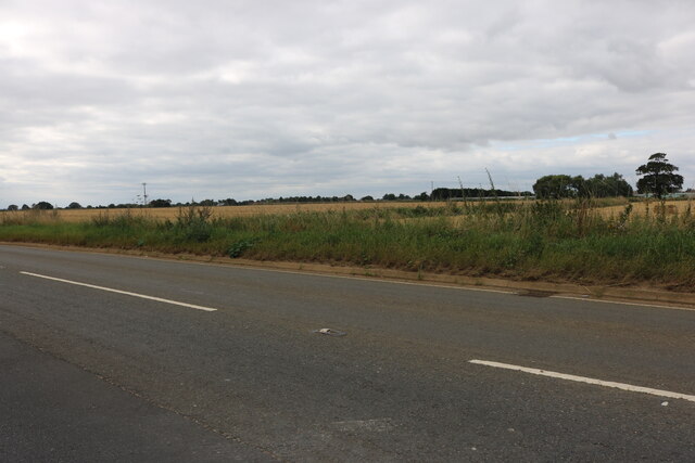
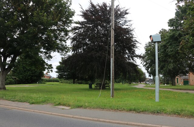
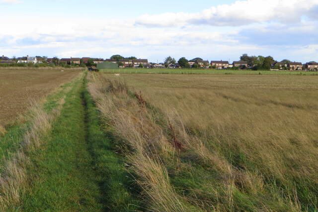
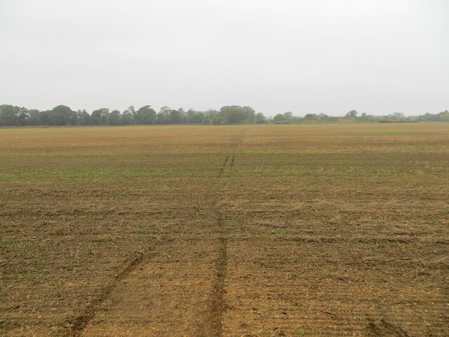
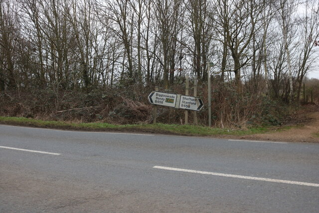
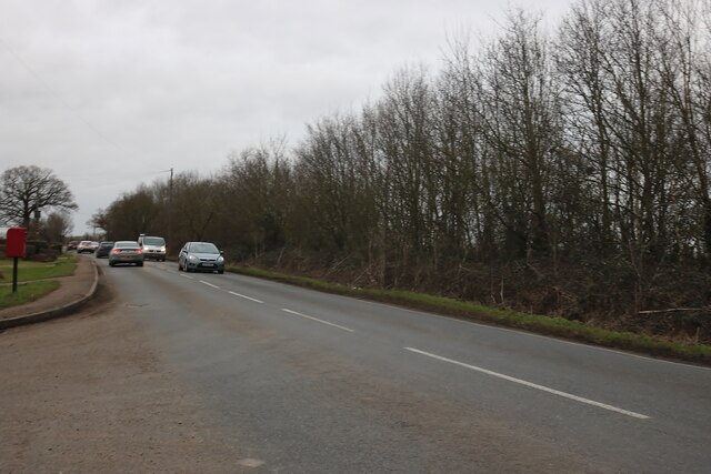
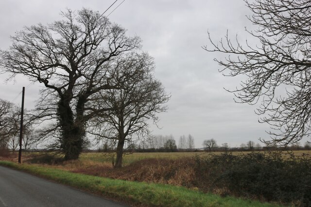
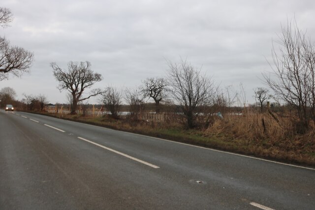
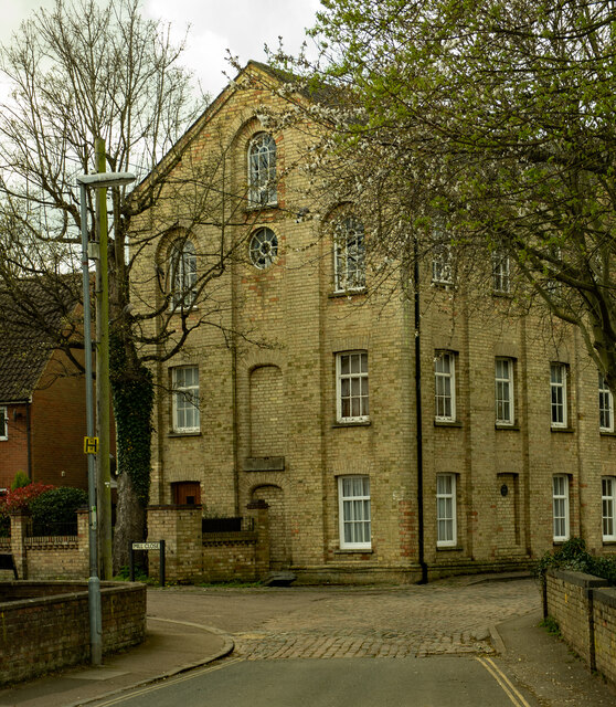
Ash Covert is a picturesque woodland area located in Bedfordshire, England. Nestled in the heart of the county, it is known for its dense forest and natural beauty. The wood covers an expansive area, providing a haven for various flora and fauna.
The woodland is predominantly made up of ash trees, which give the area its name. These towering trees create a serene and tranquil atmosphere, making it a popular spot for nature enthusiasts and hikers. The forest floor is covered with a rich carpet of fallen leaves and mosses, adding to the enchanting ambiance.
Ash Covert is home to a diverse range of wildlife. Birdwatchers will be delighted to spot a variety of species, including woodpeckers, owls, and songbirds. The woodland also provides a habitat for mammals such as deer, squirrels, and rabbits. Rare sightings of foxes and badgers have also been reported.
Visitors to Ash Covert can enjoy a network of well-maintained trails that wind through the forest, offering breathtaking views of the surrounding landscape. These paths are suitable for all ages and fitness levels, making it an ideal location for a leisurely stroll or a more challenging hike.
The wood is particularly enchanting during the autumn months when the trees transform into a vibrant tapestry of red, orange, and gold. The crackling sound of leaves underfoot and the earthy aroma of the forest create an immersive sensory experience.
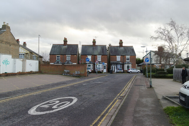
Ash Covert is a hidden gem in Bedfordshire, offering a peaceful retreat from the hustle and bustle of daily life. With its diverse wildlife, stunning scenery, and well-preserved trails, it is a must-visit destination for nature lovers in the region.
If you have any feedback on the listing, please let us know in the comments section below.
Ash Covert Images
Images are sourced within 2km of 52.080015/-0.28905275 or Grid Reference TL1743. Thanks to Geograph Open Source API. All images are credited.
![Biggleswade : former Regal cinema &quot;The Regal Cinema was opened in 1936 ... in 1975 it was sold to the Regent Entertainment Company, [whose] main business was bingo clubs. Films were retained on certain nights of the week for a while, but by Easter 1976 it went over to full time bingo.&quot; - <span class="nowrap"><a title="http://cinematreasures.org/theaters/43553" rel="nofollow ugc noopener" href="http://cinematreasures.org/theaters/43553">Link</a><img style="margin-left:2px;" alt="External link" title="External link - shift click to open in new window" src="https://s1.geograph.org.uk/img/external.png" width="10" height="10"/></span>. According to a progress report on the construction of the cinema in the Biggleswade Chronicle of 13 December 1935 the architect was Arthur Singleton of Burgess Hill.](https://s2.geograph.org.uk/geophotos/07/14/21/7142182_5a25835a.jpg)
Ash Covert is located at Grid Ref: TL1743 (Lat: 52.080015, Lng: -0.28905275)
Unitary Authority: Central Bedfordshire
Police Authority: Bedfordshire
What 3 Words
///awaited.forest.interrupt. Near Biggleswade, Bedfordshire
Nearby Locations
Related Wikis
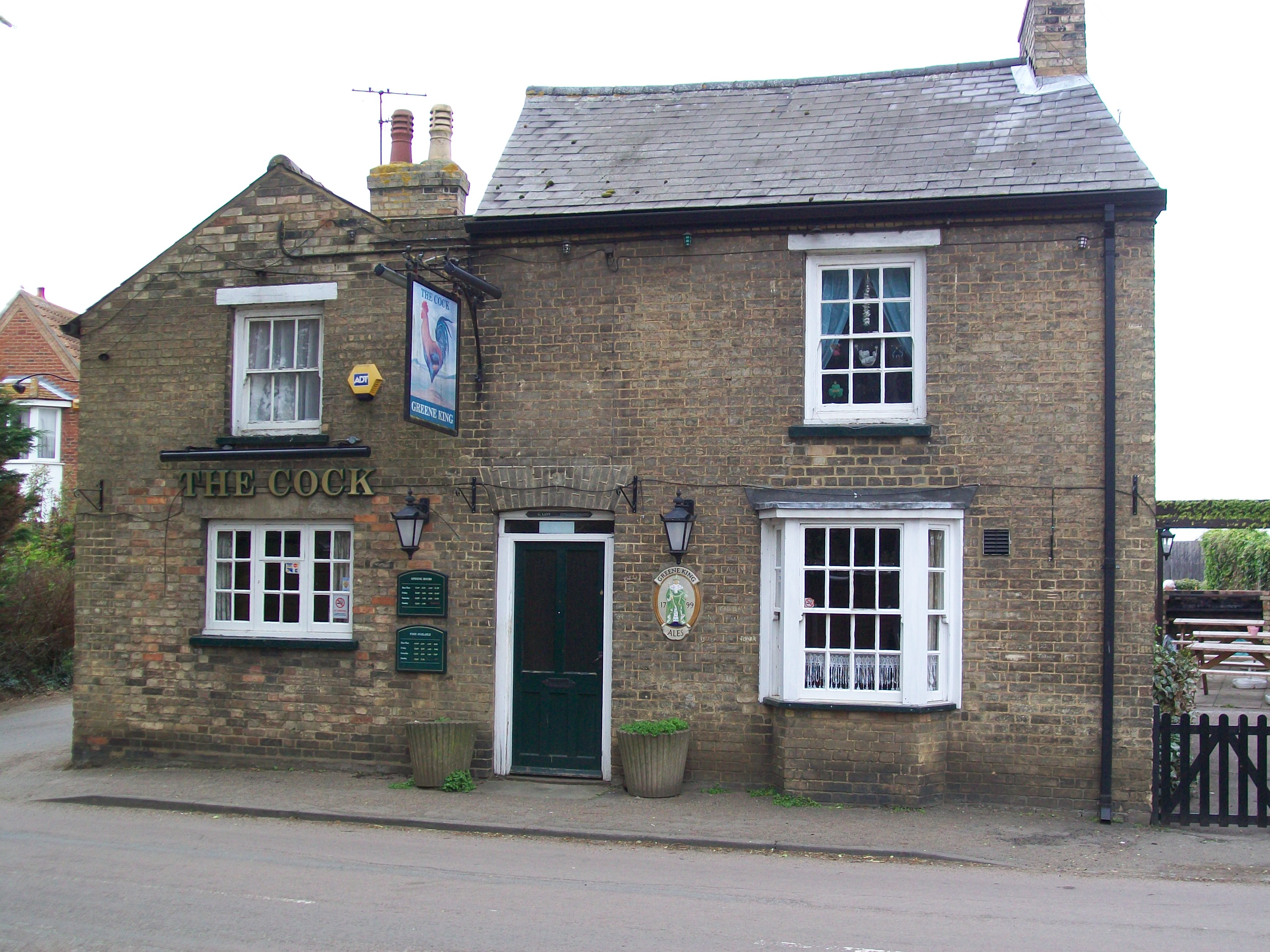
The Cock, Broom
The Cock is a Grade II listed pub at 23 High Street, Broom, Bedfordshire SG18 9NA.It is on the Campaign for Real Ale's National Inventory of Historic Pub...
Broom, Bedfordshire
Broom is a small village in the Central Bedfordshire district of the county of Bedfordshire, England about 8.5 miles (14 km) south-east of the county town...

Biggleswade Castle
Biggleswade Castle was a castle in the market town of Biggleswade in Bedfordshire. The existence of this castle was discovered by aerial photography, in...
Biggleswade Town F.C.
Biggleswade Town Football Club is a football club based in Biggleswade, Bedfordshire, England. The club are currently members of the Southern League Division...
Have you been to Ash Covert?
Leave your review of Ash Covert below (or comments, questions and feedback).