Ellerton

Settlement in Shropshire

England

Ellerton

Footpath to Hinstock
Footpath to Hinstock Credit: Row17

Ellerton is a small village located in the county of Shropshire, England. Situated in the West Midlands region, Ellerton is nestled amidst the picturesque Shropshire Hills, offering stunning views of the surrounding countryside. The village is part of the larger civil parish of Church Stretton and lies approximately 7 miles south of the town of Shrewsbury.

As a typical rural settlement, Ellerton boasts a peaceful and idyllic atmosphere, making it an ideal destination for those seeking tranquility and natural beauty. The village is characterized by its charming traditional architecture, with many historic buildings and cottages dating back several centuries. The local church, St. Mary’s, is a prominent feature in Ellerton, with its striking architecture and historical significance.

While primarily an agricultural community, Ellerton has a close-knit and vibrant community. The villagers take pride in organizing various events throughout the year, including fairs, festivals, and fundraisers. The village also has a community center which serves as a hub for social gatherings and activities.

For outdoor enthusiasts, Ellerton offers numerous opportunities to explore the stunning countryside. The village is surrounded by an extensive network of walking and cycling trails, allowing visitors to discover the beauty of the Shropshire Hills. The nearby Long Mynd, a heath and moorland plateau, is a popular destination for hikers and nature lovers.

In terms of amenities, Ellerton has a small but well-stocked village shop, providing basic necessities to the local residents. However, for more extensive shopping and entertainment options, the nearby town of Church Stretton is easily accessible.

Overall, Ellerton is a charming and picturesque village, offering a peaceful retreat and a gateway to the natural wonders of the Shropshire Hills.

If you have any feedback on the listing, please let us know in the comments section below.
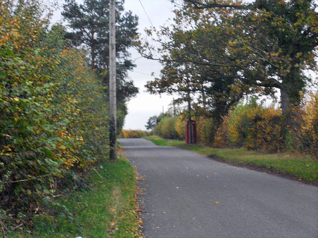
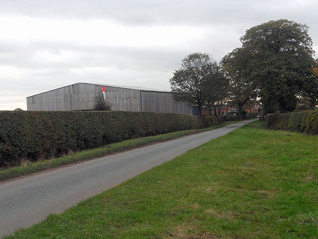
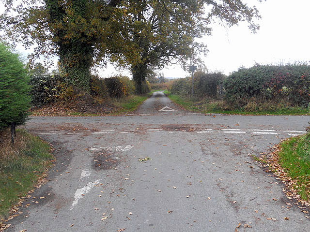
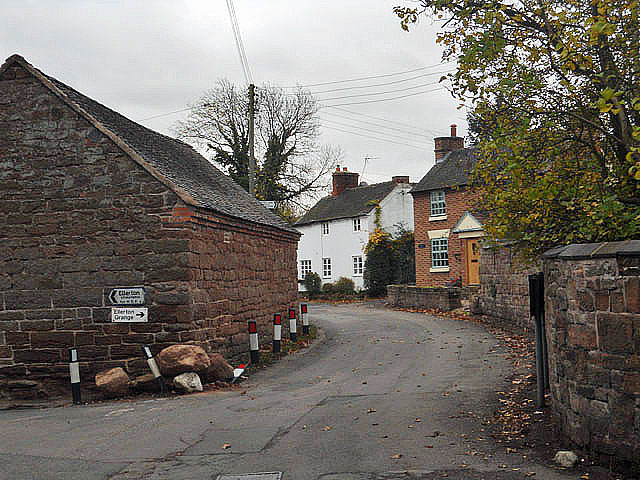
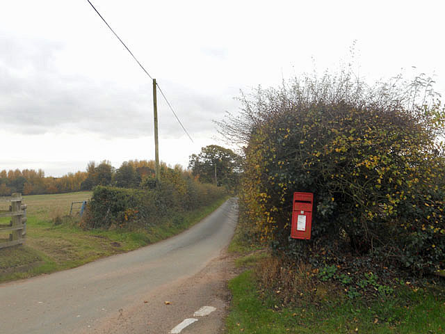
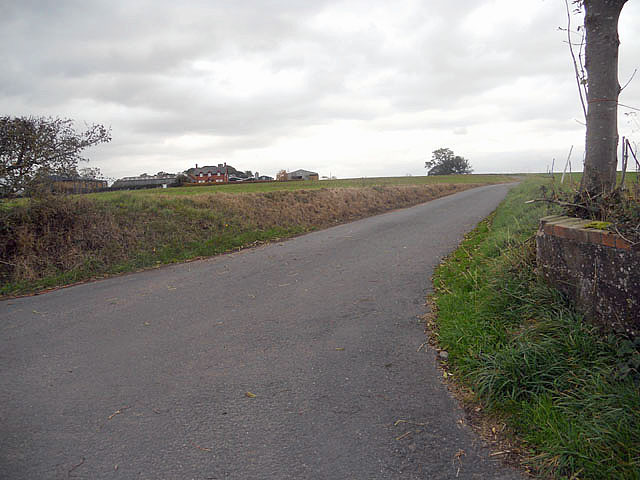
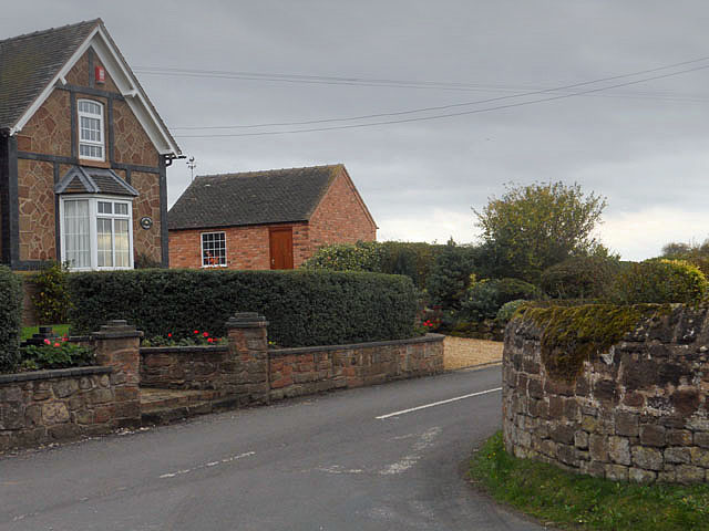
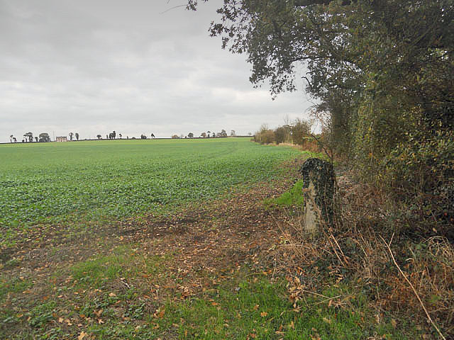
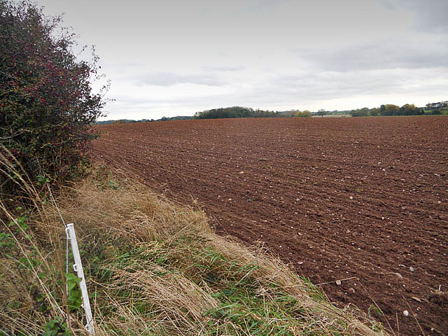
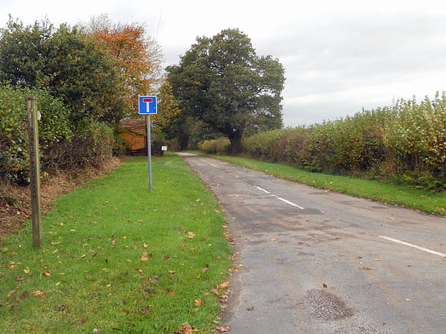
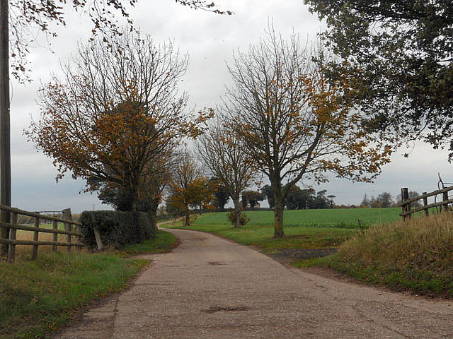
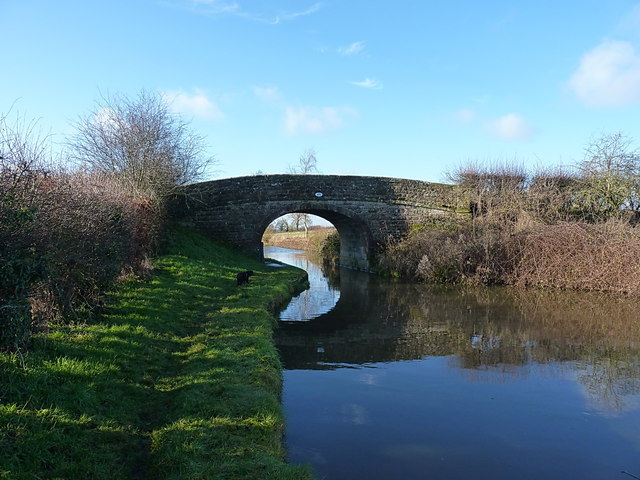
Ellerton Images

Images are sourced within 2km of 52.830384/-2.423725 or Grid Reference SJ7125. Thanks to Geograph Open Source API. All images are credited.

Footpath to Hinstock
Leaving Sambrook
Leaving Sambrook
Farm buildings and driveway at The Longpools
Ashfields crossroads
Sambrook - the way to the church
Postbox at Ellerton
Postbox at Ellerton
Driveway to Ellerton Grove
Ovens Bottom
Ovens Bottom
Field boundary near Roman Road
Ready for sowing
Ready for sowing
Driveway and path to Ellerton Grange
Private driveway
Private driveway
Hazeldines Bridge (no 49) A farm bridge, providing access from Park Heath farm to fields north of the canal.
Hazeldines Bridge (no 49)
A farm bridge, providing access from Park Heath farm to fields north of the canal.
The 'Oak Tree' stretch Known to those of us that regularly used to fish here in the 1980s as the Oak Tree length, this piece of canal would produce good nets of small roach and bream ('skimmers'), with a good chance of dropping on a decent shoal of bigger bream on occasions. It still looks much the same, but whether it still fishes as well is open to question. Oh, and the eponymous oak seems to have gone (or been replaced by the alder on the far bank)
The 'Oak Tree' stretch
Known to those of us that regularly used to fish here in the 1980s as the Oak Tree length, this piece of canal would produce good nets of small roach and bream ('skimmers'), with a good chance of dropping on a decent shoal of bigger bream on occasions. It still looks much the same, but whether it still fishes as well is open to question. Oh, and the eponymous oak seems to have gone (or been replaced by the alder on the far bank)
Soudley Bridge (no 50) A farm access bridge, with no public right of way as such.
Soudley Bridge (no 50)
A farm access bridge, with no public right of way as such.
Rope wear on Soudley Bridge A typical rope-wear plate on the sandstone bridges of the Shroppy; horses pulling barges with mud-encrusted tow ropes have worn these distinct grooves into the cast-iron wear plates on the buttresses of all the bridges.
Rope wear on Soudley Bridge
A typical rope-wear plate on the sandstone bridges of the Shroppy; horses pulling barges with mud-encrusted tow ropes have worn these distinct grooves into the cast-iron wear plates on the buttresses of all the bridges.
OS benchmark - New Brighton Bridge An OS cutmark low on the western parapet (the farm side) of the bridge; originally levelled at 104.87m above Ordnance Datum Newlyn.
OS benchmark - New Brighton Bridge
An OS cutmark low on the western parapet (the farm side) of the bridge; originally levelled at 104.87m above Ordnance Datum Newlyn.
New Brighton Bridge (no 51) The New Brighton Bridge at Ellerton Farm, on the parapet of which sits <a href="https://www.geograph.org.uk/photo/3822003">SJ7227 : OS benchmark - New Brighton Bridge</a>
New Brighton Bridge (no 51)
The New Brighton Bridge at Ellerton Farm, on the parapet of which sits SJ7227 : OS benchmark - New Brighton Bridge
Show me another place!

Ellerton is located at Grid Ref: SJ7125 (Lat: 52.830384, Lng: -2.423725)

Unitary Authority: Shropshire

Police Authority: West Mercia

What 3 Words

///sanded.after.awakening. Near Chetwynd, Shropshire

Nearby Locations

Ellerton Slades Covert

Related Wikis

Ellerton, Shropshire

Ellerton is a small hamlet in Shropshire, England. It lies in a rather isolated rural area several miles north of the town of Newport, close to the village...

Sambrook, Shropshire

Sambrook is a small village in the ceremonial county of Shropshire, where it is part of the civil parish of Chetwynd, north of the town of Newport. To...

Ashfields

Ashfields is a village in Shropshire, England.

Hinstock

Hinstock is a village and civil parish in Shropshire, England. It appeared in the Domesday book survey as "Stoche" (from Old English stoc, "dependent settlement...

Nearby Amenities

Located within 500m of 52.830384,-2.423725
Ellerton
Place: hamlet
Wikidata: Q3811451
Lat/Long: 52.829714/-2.422631
Power: pole
Lat/Long: 52.8302949/-2.4192775
Power: pole
Lat/Long: 52.830068/-2.4164102
Power: pole
Lat/Long: 52.8301766/-2.417813
Give Way
Direction: forward
Lat/Long: 52.8298047/-2.4234833
The data included in this document is from www.openstreetmap.org. The data is made available under ODbL.

Have you been to Ellerton?

Leave your review of Ellerton below (or comments, questions and feedback).