Sky's Wood
Wood, Forest in Hertfordshire St. Albans
England
Sky's Wood
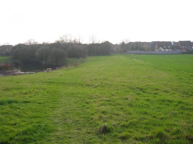
Sky's Wood is a picturesque forest located in Hertfordshire, England. Covering an area of approximately 40 hectares, it is a popular natural retreat for locals and visitors alike.
The wood is characterized by its abundant foliage, consisting mainly of native tree species such as oak, beech, and birch. These trees provide a dense canopy that offers shade and a sense of tranquility to those exploring the forest. The forest floor is carpeted with a diverse range of wildflowers, creating a vibrant and colorful landscape during the spring and summer months.
Sky's Wood is home to a variety of wildlife, making it a haven for nature enthusiasts. Visitors may catch a glimpse of woodland creatures such as deer, foxes, badgers, and a wide array of bird species. The forest provides a natural habitat for these animals and is an important part of the local ecosystem.
For outdoor enthusiasts, the wood offers a range of recreational activities. There are several well-maintained walking trails that wind through the forest, allowing visitors to explore its hidden corners. The trails vary in difficulty, catering to both casual strollers and more experienced hikers. Additionally, the wood is a popular spot for birdwatching, photography, and picnicking.
Sky's Wood is well-maintained by local authorities, ensuring a safe and enjoyable experience for all visitors. The forest is easily accessible, with ample parking and well-marked entrances. Whether one seeks solitude in nature or an active day outdoors, Sky's Wood offers a beautiful and serene environment to unwind and connect with the natural world.
If you have any feedback on the listing, please let us know in the comments section below.
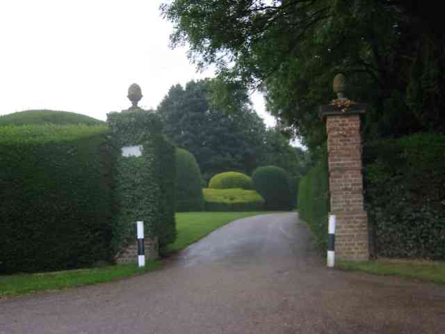
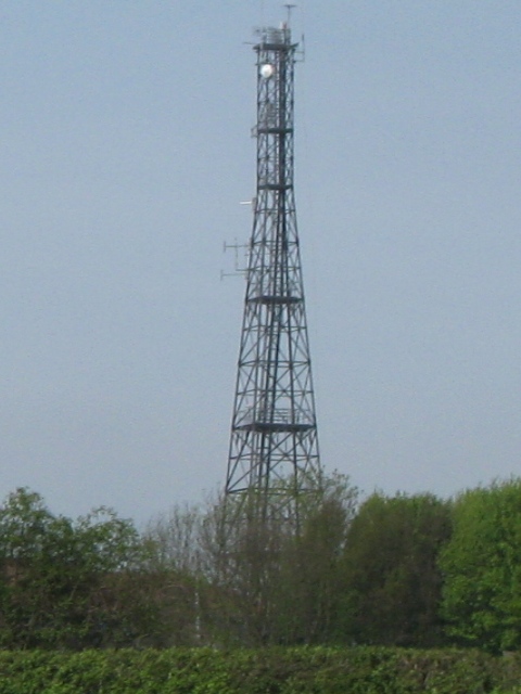
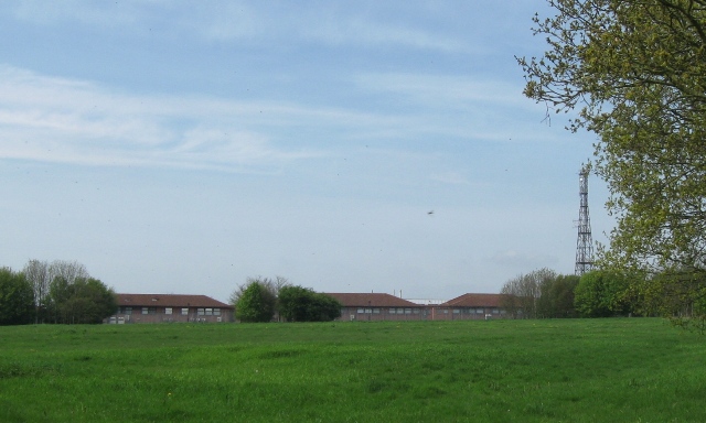
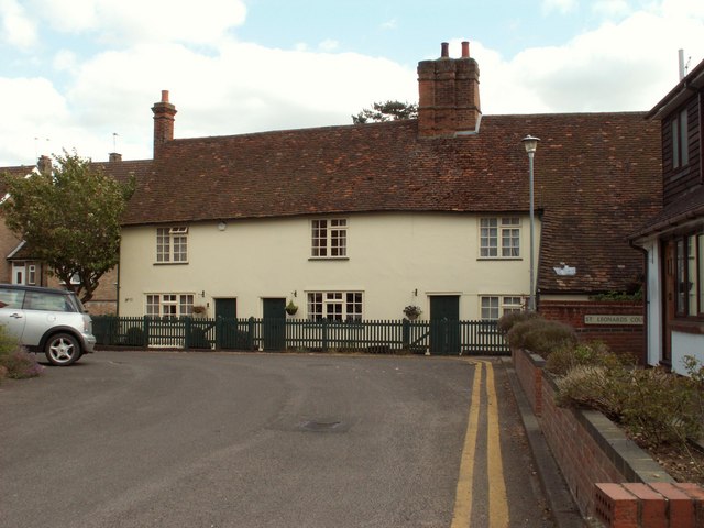
Sky's Wood Images
Images are sourced within 2km of 51.765622/-0.3049071 or Grid Reference TL1708. Thanks to Geograph Open Source API. All images are credited.

Sky's Wood is located at Grid Ref: TL1708 (Lat: 51.765622, Lng: -0.3049071)
Administrative County: Hertfordshire
District: St. Albans
Police Authority: Hertfordshire
What 3 Words
///learn.often.volume. Near St Albans, Hertfordshire
Nearby Locations
Related Wikis

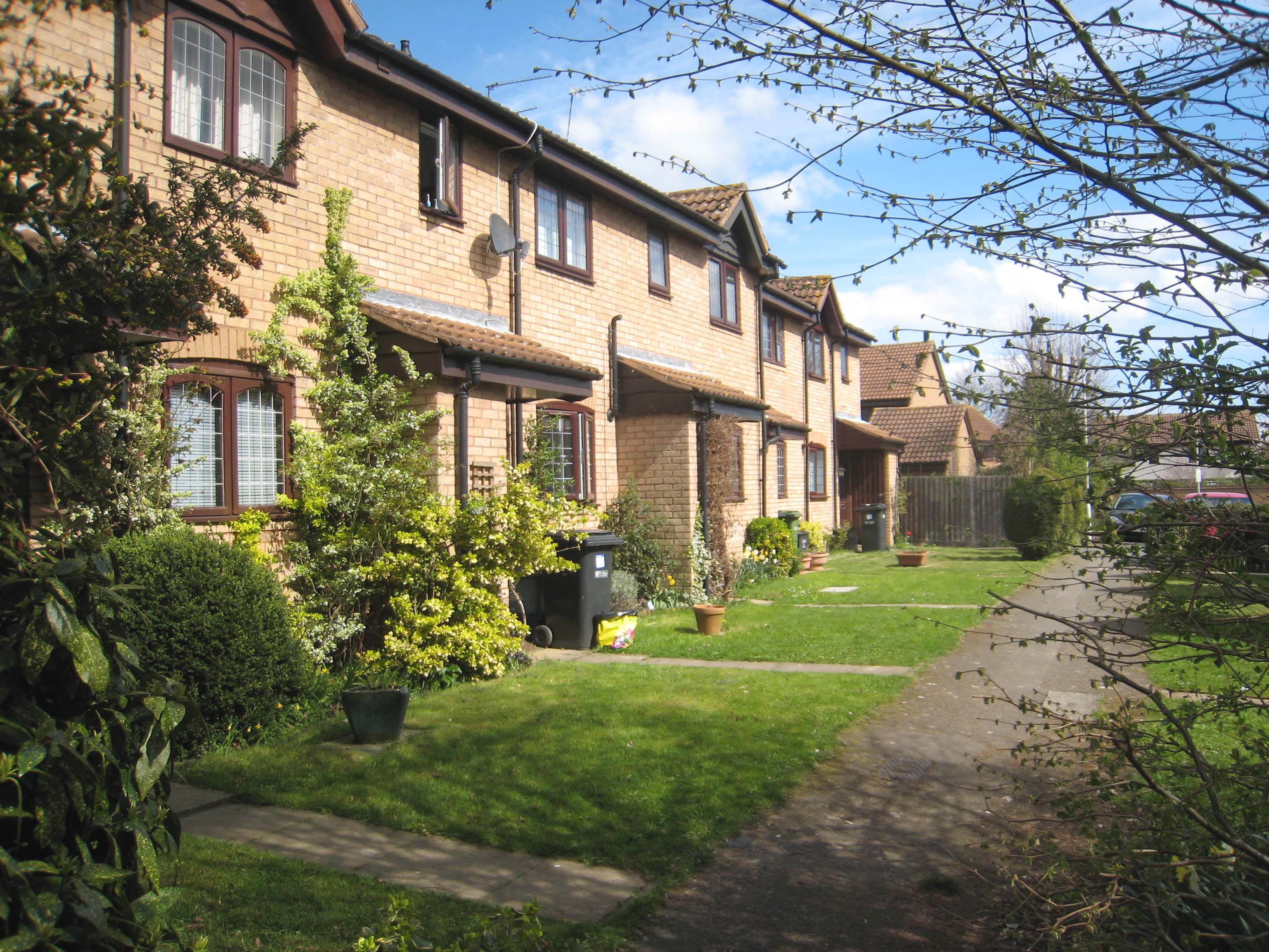
Marshalswick
Marshalswick is a suburb of St Albans in Hertfordshire, England, located around 1.5 miles northeast of the city centre. The area was developed from the...

The Wick Local Nature Reserve
The Wick is a 3.4 hectare Local Nature Reserve in St Albans in Hertfordshire. It is owned and managed by St Albans City Council. It is also designated...

Sandringham School
Sandringham School is a secondary school with academy status in Marshalswick, St Albans, Hertfordshire. It was established in 1988 following a merger of...
Jersey Farm
Jersey Farm is a residential neighbourhood in the civil parish of Sandridge centred 1.5 miles (2.4 km) north-east of the city centre of St Albans. It is...
Nearby Amenities
Located within 500m of 51.765622,-0.3049071Have you been to Sky's Wood?
Leave your review of Sky's Wood below (or comments, questions and feedback).