Nine Acres

Wood, Forest in Hertfordshire St. Albans

England

Nine Acres

In-carriage ThamesLink routes map The map is displayed above every carriage door; north is to the left, south to the right. Photographed during a stop at Radlett on a southbound service.
In-carriage ThamesLink routes map Credit: Robin Stott

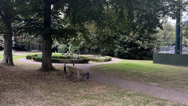
Nine Acres is a picturesque woodland located in Hertfordshire, England. Covering an area of approximately nine acres, this enchanting forest is a haven for nature lovers and outdoor enthusiasts. The woodland is situated in close proximity to the town of Wood, making it easily accessible for visitors.

Nine Acres is known for its diverse ecosystem and abundant wildlife. The forest is home to a variety of tree species, including oak, beech, and birch, which provide a stunning backdrop throughout the year. The dense canopy of the trees creates a shaded and tranquil environment, perfect for exploring and enjoying the natural surroundings.

Walking paths wind their way through the forest, allowing visitors to immerse themselves in the beauty of nature. As they meander through the woodland, visitors may encounter squirrels darting among the branches, birds singing their melodious tunes, and perhaps even deer gracefully grazing in the distance.

The forest is also home to a range of plant species, including wildflowers that carpet the forest floor during the spring and summer months. This vibrant display of colors adds to the charm and allure of Nine Acres, attracting not only nature enthusiasts but also photographers and artists seeking inspiration.

Nine Acres offers a peaceful retreat from the hustle and bustle of everyday life, providing a serene setting for relaxation and recreation. Whether it's a leisurely stroll, a picnic amidst nature, or simply taking in the sights and sounds of the forest, Nine Acres promises a memorable experience for all who visit.

If you have any feedback on the listing, please let us know in the comments section below.

Nine Acres Images

Images are sourced within 2km of 51.698953/-0.30968593 or Grid Reference TL1601. Thanks to Geograph Open Source API. All images are credited.

In-carriage ThamesLink routes map The map is displayed above every carriage door; north is to the left, south to the right. Photographed during a stop at Radlett on a southbound service.
In-carriage ThamesLink routes map
The map is displayed above every carriage door; north is to the left, south to the right. Photographed during a stop at Radlett on a southbound service.
The Radlett Centre, Aldenham Avenue
Red House Surgery entrance, Watling Street
Radlett Gardens, Watling Street
Watling Street, Radlett
Direction signs, Watling Street
Red House Surgery, Watling Street
Watling Street roundabout, Radlett
Gail's bakery, Watling Street
Radlett Reform Synagogue, Watling Street
Radlett Library, Aldenham Avenue
Aldenham Parish Council, The Radlett Centre
Aldenham parish footpath map
Red Lion Hotel, Watling Street
War memorial and shops, Watling Street
Radlett railway station, Station Approach
Show me another place!

Nine Acres is located at Grid Ref: TL1601 (Lat: 51.698953, Lng: -0.30968593)

Administrative County: Hertfordshire

District: St. Albans

Police Authority: Hertfordshire

What 3 Words

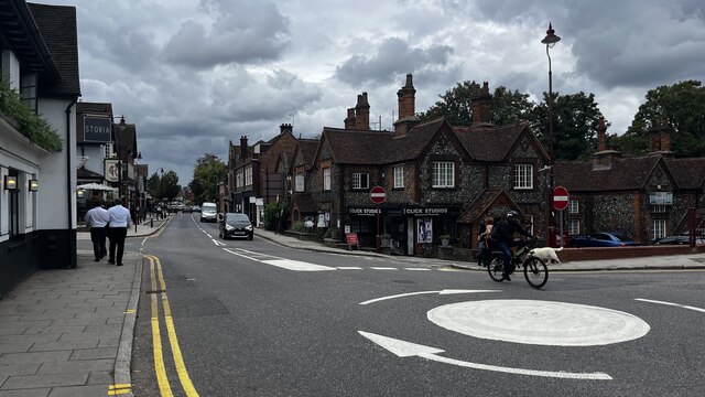
///zooms.mobile.sobs. Near Radlett, Hertfordshire

Nearby Locations

Nine Acres Hound's Wood

Related Wikis

Kingsley Green

Kingsley Green is a mental health and learning disability site located in Hertfordshire, England, just southeast of the village of London Colney. Located...

Shenley Hospital

Shenley Hospital was a psychiatric hospital at Shenley in Hertfordshire. It had two sister institutions, Harperbury Hospital and Napsbury Hospital, within...
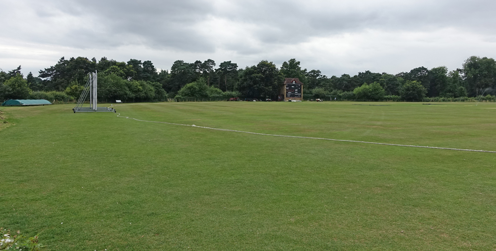
Denis Compton Oval

The Denis Compton Oval is a cricket ground located at the Shenley Cricket Centre in Shenley, Hertfordshire, England. The ground was opened by Denis Compton...
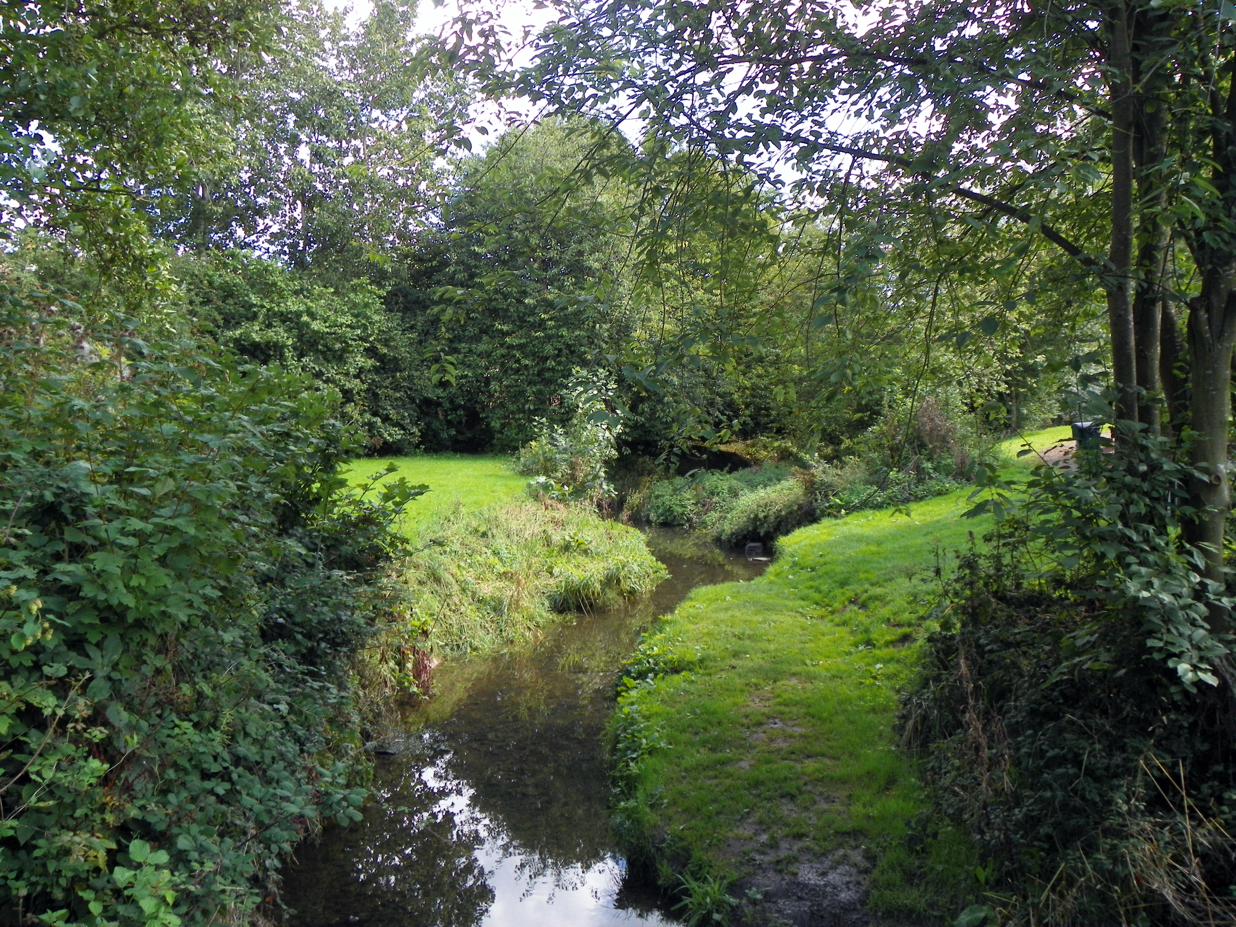
Tykes Water

Tykes Water is a minor tributary of the River Colne in Hertfordshire in England. Its head waters are a network of drainage ditches west of the A41 near...

Related Videos

🇮🇳Indian Girl vs London Girl | Who’s The Best In Hitchhiking? #londonvlog #indianinlondon

I convinced the girls to hitchhike with me from Radlett to Watford, in England. Both the towns are 30 mins away from central ...

Nearby Amenities

Located within 500m of 51.698953,-0.30968593
Traffic Calming: bump
Lat/Long: 51.7033136/-0.3086284
Created By: YahooApplet 1.0
Lat/Long: 51.6997585/-0.3132971
Created By: YahooApplet 1.0
Lat/Long: 51.6996521/-0.31231
Created By: YahooApplet 1.0
Lat/Long: 51.6998649/-0.3111942
Created By: YahooApplet 1.0
Lat/Long: 51.7000777/-0.3102072
Created By: YahooApplet 1.0
Lat/Long: 51.7002639/-0.3099068
Created By: YahooApplet 1.0
Lat/Long: 51.6978966/-0.3092631
Created By: YahooApplet 1.0
Lat/Long: 51.6977104/-0.3111513
Created By: YahooApplet 1.0
Lat/Long: 51.6977104/-0.3117521
Created By: YahooApplet 1.0
Lat/Long: 51.698668/-0.3125246
Crossing
Crossing: marked
Lat/Long: 51.7026337/-0.3083743
Crossing
Crossing: marked
Lat/Long: 51.7024976/-0.3081174
Crossing
Crossing: marked
Lat/Long: 51.7020668/-0.3085848
Crossing
Crossing: marked
Lat/Long: 51.7023425/-0.3076496
Crossing
Crossing: marked
Lat/Long: 51.7018944/-0.3070396
Crossing
Crossing: marked
Lat/Long: 51.7020675/-0.3068255
Crossing
Crossing: marked
Lat/Long: 51.7019781/-0.3070645
Crossing
Crossing: marked
Lat/Long: 51.7021346/-0.3071095
Crossing
Crossing: marked
Lat/Long: 51.7022488/-0.3076765
Crossing
Crossing: marked
Lat/Long: 51.7020791/-0.3076266
Crossing
Crossing: marked
Lat/Long: 51.7019201/-0.3075797
Crossing
Crossing: marked
Tactile Paving: yes
Lat/Long: 51.7023831/-0.3063643
Crossing
Crossing: marked
Lat/Long: 51.7026303/-0.3082097
Traffic Calming: bump
Lat/Long: 51.7029466/-0.3085963
The data included in this document is from www.openstreetmap.org. The data is made available under ODbL.

Have you been to Nine Acres?

Leave your review of Nine Acres below (or comments, questions and feedback).