Black Wood
Wood, Forest in Lincolnshire West Lindsey
England
Black Wood
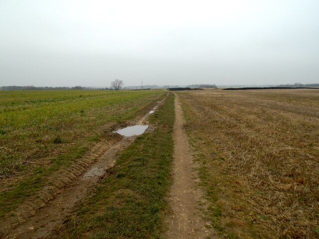
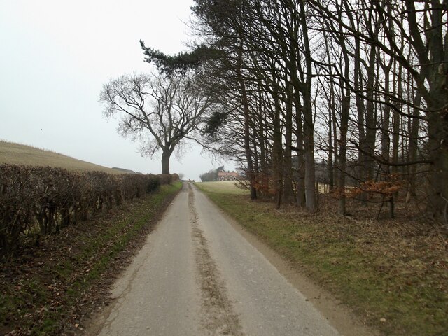
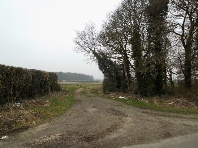
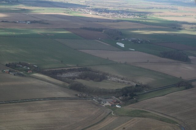
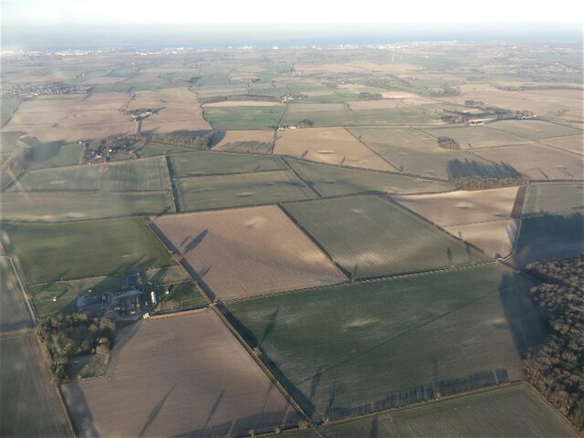
Black Wood is a picturesque forest located in Lincolnshire, England. With an area of approximately 100 hectares, it offers a serene and tranquil environment for nature enthusiasts and outdoor lovers. The forest is situated in the northern part of Lincolnshire, near the village of Wood.
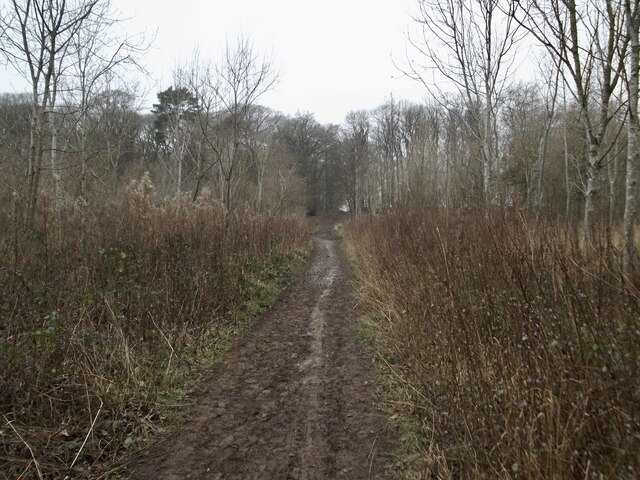
Black Wood is predominantly made up of deciduous trees, including oak, beech, and birch. The dense canopy formed by these trees creates a shaded and cool atmosphere, making it an ideal destination for walking, hiking, and birdwatching. The forest floor is covered in a lush carpet of ferns, mosses, and wildflowers, adding to its natural beauty.
The forest is home to a diverse range of wildlife, including deer, foxes, badgers, and various species of birds. Birdwatchers can spot woodpeckers, owls, and several migratory birds that visit the area during the breeding season. The forest also has several designated trails and pathways that allow visitors to explore its enchanting beauty.
Black Wood, Lincolnshire, holds significant historical importance as well. It is believed that the forest has been in existence for centuries, and it has witnessed various historical events and transformations. The forest has also served as a source of timber for the local community in the past.
Overall, Black Wood in Lincolnshire offers a haven of tranquility, natural beauty, and historical significance. It provides an opportunity for visitors to immerse themselves in nature, explore the diverse flora and fauna, and appreciate the serenity of the forest environment.
If you have any feedback on the listing, please let us know in the comments section below.
Black Wood Images
Images are sourced within 2km of 53.53136/-0.23785137 or Grid Reference TA1605. Thanks to Geograph Open Source API. All images are credited.


Black Wood is located at Grid Ref: TA1605 (Lat: 53.53136, Lng: -0.23785137)
Administrative County: Lincolnshire
District: West Lindsey
Police Authority: Lincolnshire
What 3 Words
///juggles.before.releasing. Near Laceby, Lincolnshire
Nearby Locations
Related Wikis

Swallow, Lincolnshire
Swallow is a small village and civil parish in the West Lindsey district of Lincolnshire, England, on the A46 road 4 miles (6.4 km) north-east from Caistor...
Irby upon Humber
Irby upon Humber or Irby-on-Humber is a small village and (as just Irby) a civil parish in North East Lincolnshire, England. The village is situated on...

Riby
Riby is a village and civil parish in the West Lindsey district of Lincolnshire, England. The population of the civil parish was 129 at the 2011 census...

Aylesby
Aylesby is a village and civil parish in North East Lincolnshire, England. It is situated near the A18 road, approximately 4 miles (6 km) west from Cleethorpes...
Nearby Amenities
Located within 500m of 53.53136,-0.23785137Have you been to Black Wood?
Leave your review of Black Wood below (or comments, questions and feedback).