Long Plantation
Wood, Forest in Huntingdonshire Huntingdonshire
England
Long Plantation
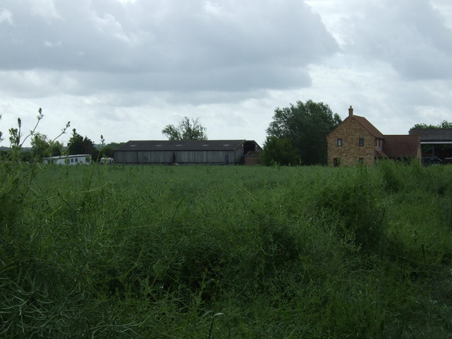
Long Plantation is a dense woodland located in Huntingdonshire, a county in the eastern part of England. It is situated near the small village of Wood and covers an area of approximately 300 acres. The plantation is known for its picturesque landscape and rich biodiversity.
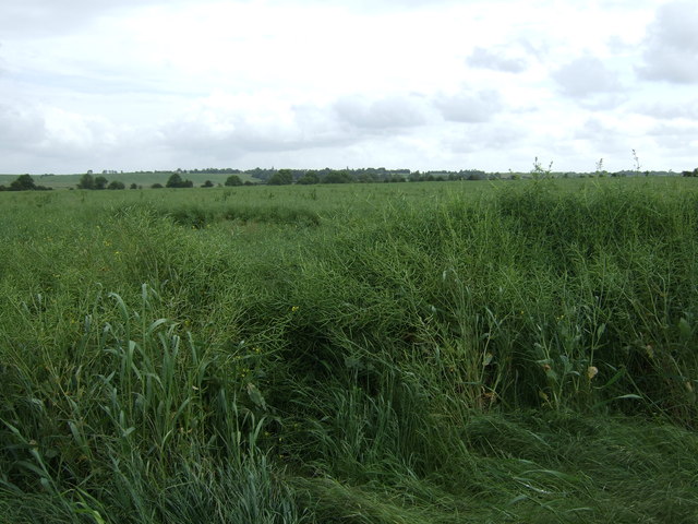
The woodland is primarily composed of mature oak, beech, and ash trees, with a dense understory of shrubs and ferns. The canopy is thick and provides ample shade, creating a cool and tranquil atmosphere. The forest floor is covered in a carpet of moss and fallen leaves, making it a haven for various species of insects and small mammals.
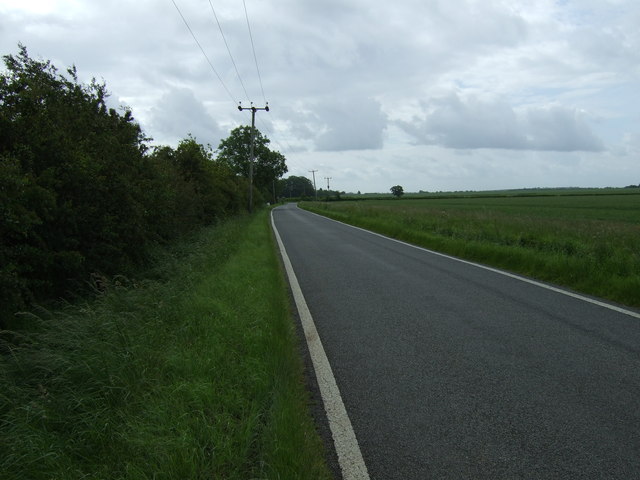
Long Plantation is a popular destination for nature enthusiasts and outdoor enthusiasts alike. The woodland boasts several well-maintained walking trails that meander through its dense foliage, allowing visitors to explore the beauty of the forest and enjoy the peaceful surroundings. The trails are also frequently used by birdwatchers, as the woodland is home to a diverse range of bird species, including woodpeckers, owls, and warblers.
In addition to its natural beauty, Long Plantation also serves as an important habitat for wildlife. The woodland provides shelter and food for numerous animals, including deer, foxes, badgers, and squirrels. The plantation is managed by the local authorities to preserve its ecological balance and protect its diverse ecosystem.
Overall, Long Plantation in Huntingdonshire is a stunning woodland that offers visitors a chance to immerse themselves in nature and experience the tranquility of a thriving forest ecosystem.
If you have any feedback on the listing, please let us know in the comments section below.
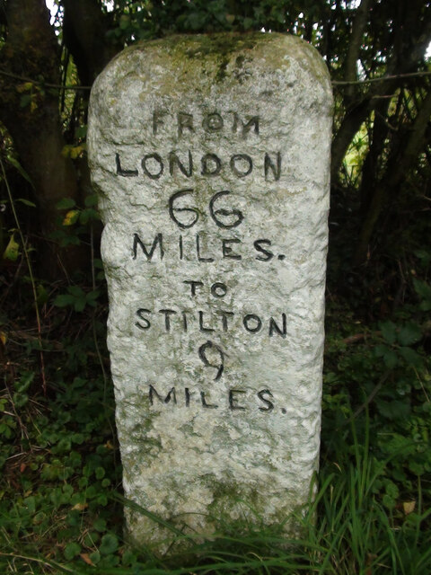
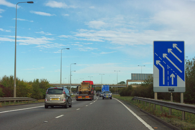
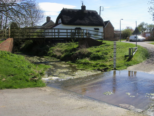
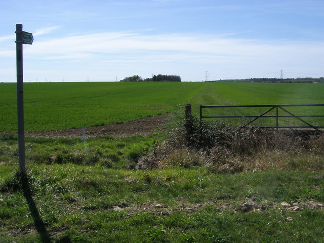
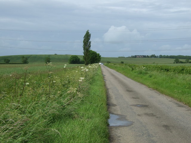
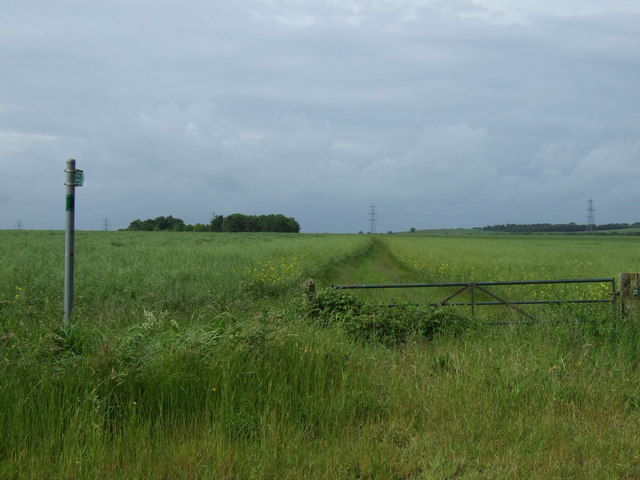
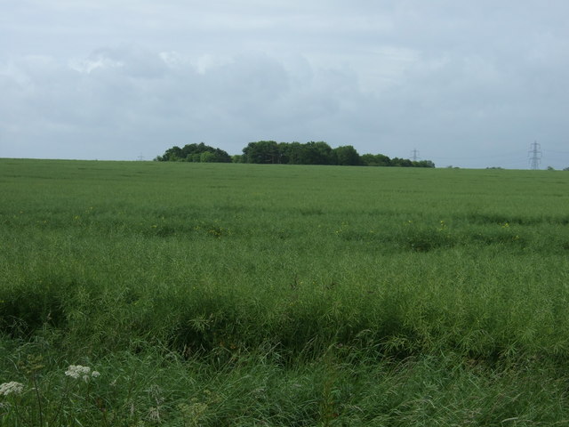
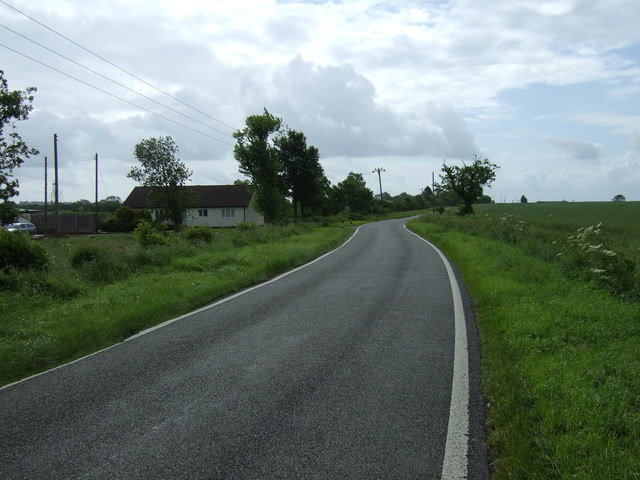
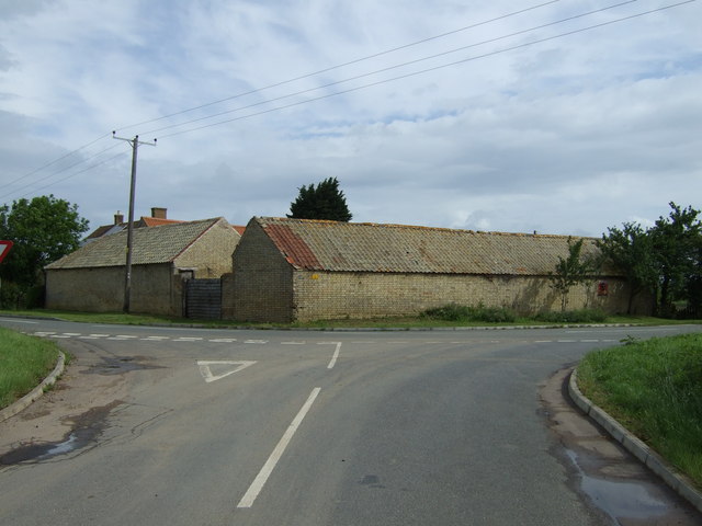
Long Plantation Images
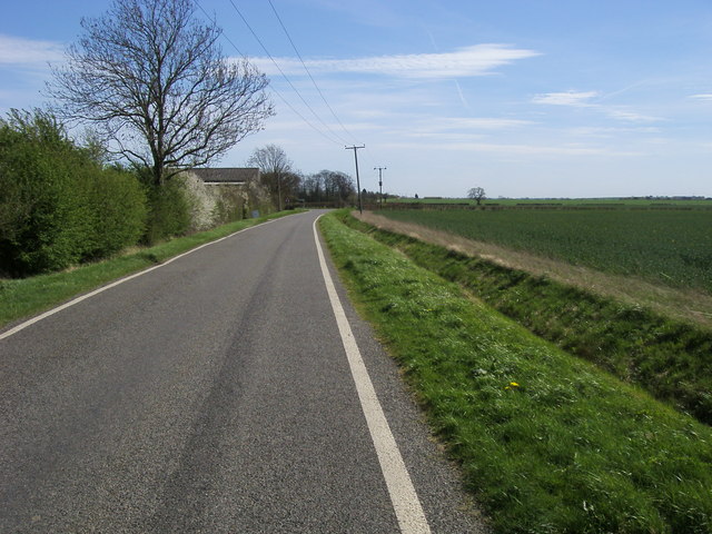
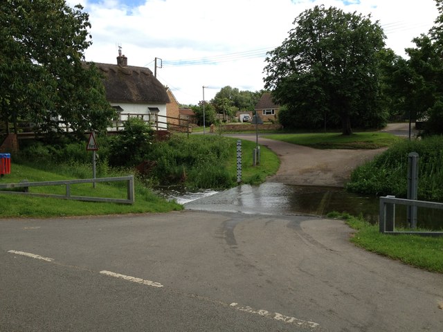
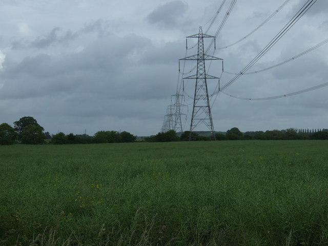
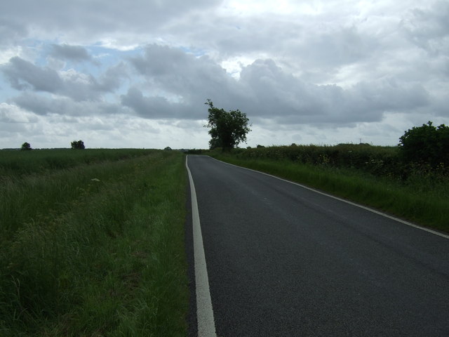
Images are sourced within 2km of 52.377479/-0.28435106 or Grid Reference TL1676. Thanks to Geograph Open Source API. All images are credited.

Long Plantation is located at Grid Ref: TL1676 (Lat: 52.377479, Lng: -0.28435106)
Administrative County: Cambridgeshire
District: Huntingdonshire
Police Authority: Cambridgeshire
What 3 Words
///stuffing.cornering.firming. Near Alconbury, Cambridgeshire
Nearby Locations
Related Wikis

Alconbury Weston
Alconbury Weston – in Huntingdonshire (now part of Cambridgeshire), England – is a village and civil parish, lying just outside of the Fens, having just...

Upton, Huntingdonshire
Upton is a village and former civil parish, now in the parish of Upton and Coppingford, in the Huntingdonshire district, in the county of Cambridgeshire...

Buckworth
Buckworth is a village and civil parish in Cambridgeshire, England. Buckworth lies approximately 7 miles (11 km) northwest of Huntingdon and covers an...
Huntingdon Rural District
Huntingdon was a rural district in Huntingdonshire from 1894 to 1974, lying to the north and west of urban Huntingdon. It was formed in 1894 under the...
Nearby Amenities
Located within 500m of 52.377479,-0.28435106Have you been to Long Plantation?
Leave your review of Long Plantation below (or comments, questions and feedback).