Spring Copse
Wood, Forest in Surrey Mole Valley
England
Spring Copse
Spring Copse is a picturesque woodland located in the county of Surrey, England. Spanning over an area of approximately 50 acres, it is a captivating destination for nature lovers and outdoor enthusiasts. The copse is nestled amidst the charming countryside, surrounded by rolling hills and idyllic meadows.
Renowned for its vibrant display of springtime flora, the woodland comes alive with a burst of colors as the season unfolds. The forest floor is carpeted with a rich tapestry of wildflowers, including bluebells, primroses, and wood anemones, creating a breathtaking sight for visitors. The trees, predominantly oak and beech, provide a dense canopy that dapples the sunlight, casting mesmerizing patterns on the forest floor.
Spring Copse is a haven for wildlife, boasting a diverse ecosystem. The woodland is home to a variety of bird species, such as woodpeckers, thrushes, and warblers, filling the air with their melodious songs. Squirrels and rabbits can often be spotted darting between the trees, while deer occasionally graze in the tranquil clearings.
Walking trails meander through the copse, allowing visitors to immerse themselves in the natural beauty of the woodland. These paths lead to hidden glades and secluded spots, providing peaceful retreats for those seeking solace in nature. The copse also offers opportunities for photography, with its enchanting scenery and abundant wildlife.
Overall, Spring Copse in Surrey is a captivating woodland that enchants visitors with its vibrant springtime colors, diverse wildlife, and tranquil ambiance. It is a cherished destination for nature enthusiasts and a place of respite from the hustle and bustle of everyday life.
If you have any feedback on the listing, please let us know in the comments section below.
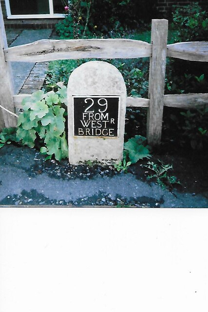
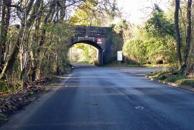
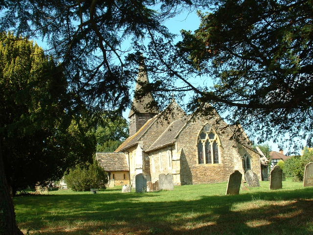
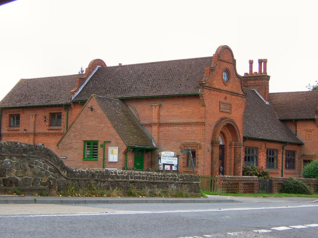
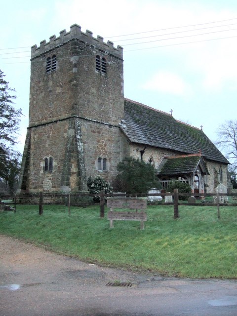
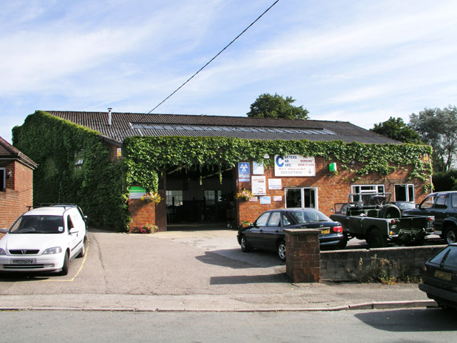
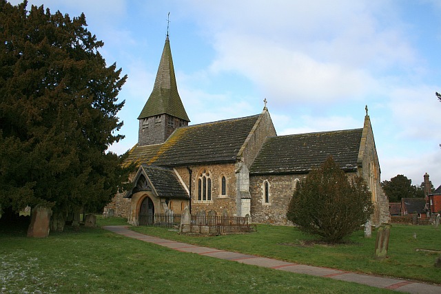
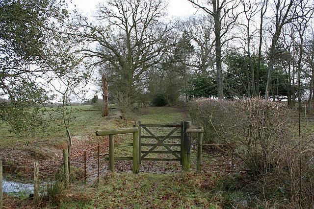
Spring Copse Images
Images are sourced within 2km of 51.142762/-0.3329973 or Grid Reference TQ1639. Thanks to Geograph Open Source API. All images are credited.


Spring Copse is located at Grid Ref: TQ1639 (Lat: 51.142762, Lng: -0.3329973)
Administrative County: Surrey
District: Mole Valley
Police Authority: Surrey
What 3 Words
///polite.darker.ample. Near Capel, Surrey
Nearby Locations
Related Wikis

Auclaye
Auclaye is a 0.6-hectare (1.5-acre) geological Site of Special Scientific Interest south of Capel in Surrey. It is a Geological Conservation Review site...

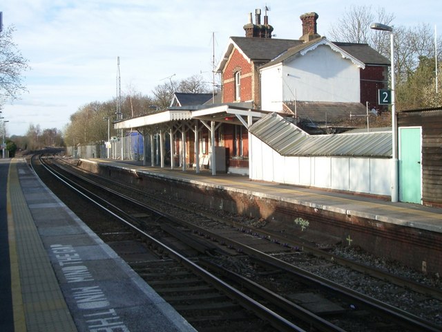
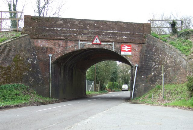
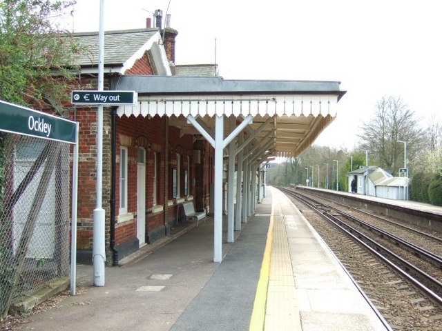
Ockley railway station
Ockley railway station serves the villages of Ockley and Capel in Surrey, England and is 1.4 miles (2.3 km) from Ockley village and 0.5 miles (0.80 km...

Clock House Brickworks
Clock House Brickworks is a 35.9-hectare (89-acre) geological Site of Special Scientific Interest south of Capel in Surrey. It is a Geological Conservation...

Vann Lake and Ockley Woods
Vann Lake and Ockley Woods is a 57.8-hectare (143-acre) biological Site of Special Scientific Interest south of Ockley in Surrey. Vann Lake is part of...

Capel, Surrey
Capel () is a village and civil parish in southern Surrey, England. It is equidistant between Dorking and Horsham – about 5 miles (8.0 km) away. Around...
Shiremark Mill, Capel
Shiremark Mill, also known as Kingsfold Mill or Capel Mill was a listed Smock mill at Capel, Surrey, England, which was burnt down in 1972. == History... ==

Ockley
Ockley is a rural village in Surrey. It lies astride the A29, the modern road using the alignment of Stane Street (Chichester). The A29 diverges from the...

Broome Hall
Broome Hall is a Grade II-listed country house with grounds including cottages and outhouses on the wooded, upper southern slopes of the Greensand Ridge...
Nearby Amenities
Located within 500m of 51.142762,-0.3329973Have you been to Spring Copse?
Leave your review of Spring Copse below (or comments, questions and feedback).