Mountriden Copse
Wood, Forest in Surrey Mole Valley
England
Mountriden Copse
Mountriden Copse is a picturesque woodland located in the county of Surrey, England. Situated in the south-eastern part of the county, this dense forest covers an area of approximately 100 acres. The copse is nestled amidst the rolling hills and valleys of the Surrey countryside, creating a serene and tranquil atmosphere that attracts nature enthusiasts and hikers alike.
The woodland is predominantly composed of deciduous trees, including oak, beech, and birch, which provide a beautiful display of colors throughout the year. In spring, the copse is adorned with vibrant blossoms, while in autumn, the foliage transforms into a breathtaking tapestry of reds, oranges, and golds.
Within Mountriden Copse, visitors can find a network of well-maintained footpaths and trails that meander through the forest, offering a chance to explore its natural beauty. The trails cater to varying levels of difficulty, making it accessible for people of all ages and fitness levels.
The copse is also home to a diverse range of wildlife, including deer, foxes, badgers, and numerous species of birds. Birdwatchers can spot woodpeckers, owls, and various songbirds within the woodland's canopy.
Mountriden Copse is a popular destination for nature lovers seeking solace and a connection with the natural world. Its stunning scenery and peaceful ambiance make it an ideal spot for picnics, photography, or simply enjoying a leisurely stroll amidst the beauty of Surrey's woodlands.
If you have any feedback on the listing, please let us know in the comments section below.
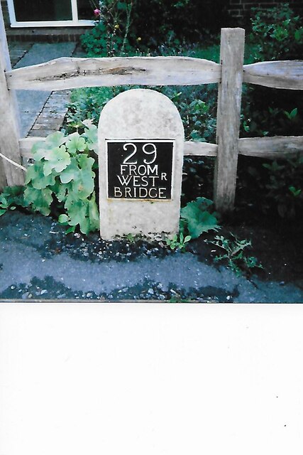
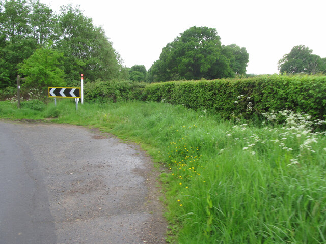
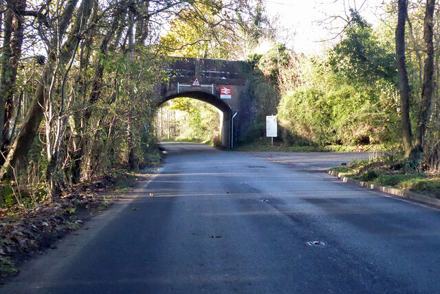
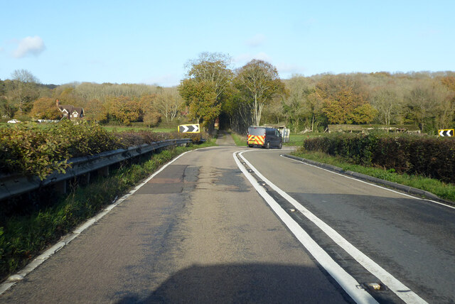
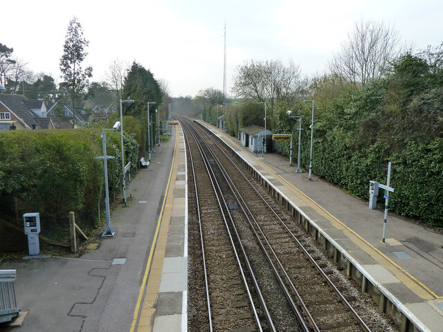
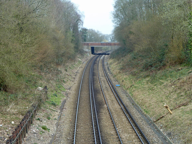
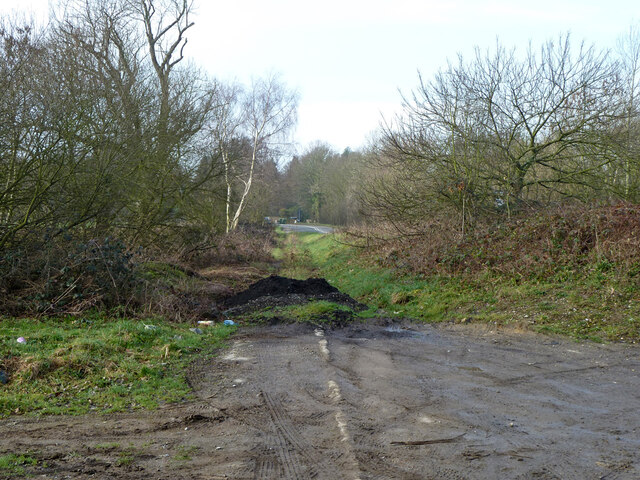
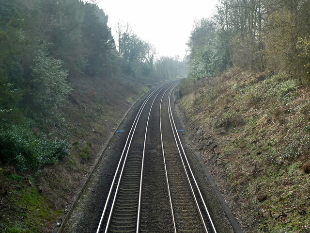
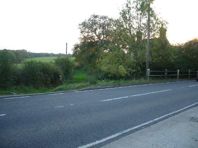
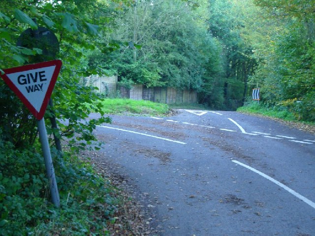
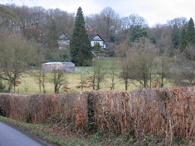
Mountriden Copse Images
Images are sourced within 2km of 51.1672/-0.33327501 or Grid Reference TQ1642. Thanks to Geograph Open Source API. All images are credited.


Mountriden Copse is located at Grid Ref: TQ1642 (Lat: 51.1672, Lng: -0.33327501)
Administrative County: Surrey
District: Mole Valley
Police Authority: Surrey
What 3 Words
///tight.beans.drive. Near Holmwood, Surrey
Nearby Locations
Related Wikis

Broome Hall
Broome Hall is a Grade II-listed country house with grounds including cottages and outhouses on the wooded, upper southern slopes of the Greensand Ridge...

Capel, Surrey
Capel () is a village and civil parish in southern Surrey, England. It is equidistant between Dorking and Horsham – about 5 miles (8.0 km) away. Around...

Ockley railway station
Ockley railway station serves the villages of Ockley and Capel in Surrey, England and is 1.4 miles (2.3 km) from Ockley village and 0.5 miles (0.80 km...

Holmwood railway station
Holmwood railway station serves the villages of Beare Green and South Holmwood in Surrey, England, on the Sutton and Mole Valley Lines between Dorking...

Greensand Ridge
The Greensand Ridge, also known as the Wealden Greensand, is an extensive, prominent, often wooded, mixed greensand/sandstone escarpment in south-east...

Coldharbour, Surrey
Coldharbour is a hamlet in the Mole Valley district, in the English county of Surrey. It is on a minor road from Dorking to Leith Hill Place. == Description... ==

Leith Hill
Leith Hill in southern England is the highest summit of the Greensand Ridge, approximately 6.7 km (4 mi) southwest of Dorking, Surrey and 40.5 km (30 mi...

Leith Hill multiple aircraft accident
On 26 November 1944, four C-47 transport aircraft of the 442nd Operations Group departed from Advanced Landing Ground "A-4 in Pays de la Loire, northern...
Nearby Amenities
Located within 500m of 51.1672,-0.33327501Have you been to Mountriden Copse?
Leave your review of Mountriden Copse below (or comments, questions and feedback).