Bayons Park

Wood, Forest in Lincolnshire West Lindsey

England

Bayons Park

Thorpe Lane Definitely not a ford!
Thorpe Lane Credit: David Brown

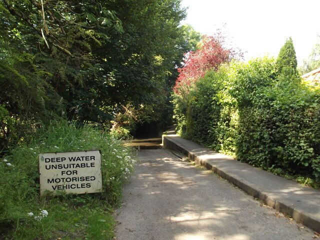
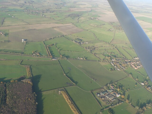
Bayons Park is a picturesque woodland located in Lincolnshire, England. Nestled amidst the rolling countryside, it is a haven for nature lovers and outdoor enthusiasts. The park covers an area of approximately 100 acres and is predominantly made up of ancient woodland, giving it a rich biodiversity.

The woodland is characterized by a mix of deciduous and coniferous trees, including oak, beech, and pine. This diverse ecosystem provides a habitat for a wide range of wildlife, including deer, squirrels, and various bird species. The park is a popular spot for birdwatching, with enthusiasts often spotting species such as woodpeckers, jays, and owls.

Bayons Park offers visitors a tranquil escape from the hustle and bustle of everyday life, with a network of walking trails that wind through the forest. These trails cater to all levels of fitness and provide opportunities for leisurely strolls or more challenging hikes. The park also features picnic areas, allowing visitors to relax and enjoy the peaceful surroundings.

In addition to its natural beauty, Bayons Park has a rich historical significance. It is believed to have been inhabited since the Bronze Age and has remnants of ancient earthworks and burial mounds. The park is also home to a medieval stone cross, known as the Bayons Cross, which dates back to the 14th century.

Overall, Bayons Park offers a serene and enchanting experience for those seeking a connection with nature and a glimpse into the region's past.

If you have any feedback on the listing, please let us know in the comments section below.
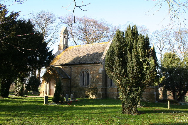
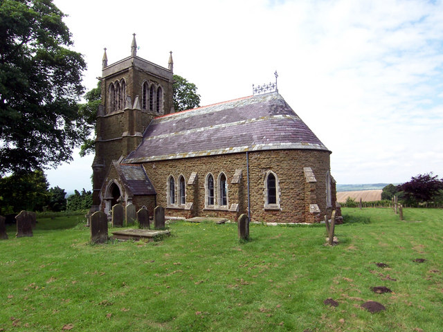
Bayons Park Images

Images are sourced within 2km of 53.398542/-0.25223326 or Grid Reference TF1690. Thanks to Geograph Open Source API. All images are credited.

Thorpe Lane Definitely not a ford!
Thorpe Lane
Definitely not a ford!
Tealby Moor and Tealby Thorpe: aerial 2023
Woods and farmland east of Tealby: aerial 2023
Across 3 circular mounds and the Viking Way SE of Tealby: aerial 2023 The mounds seem to be of geological origin.
Across 3 circular mounds and the Viking Way SE of Tealby: aerial 2023
The mounds seem to be of geological origin.
Woods, a watercourse and two mounds south of Tealby: aerial 2023 (1)
Woods, a watercourse and two mounds south of Tealby: aerial 2023 (2)
Ruined farmhouse by The Clump, south of Tealby: aerial 2013
Viking Way to Tealby: aerial 2017 Path doglegs as far as the linear woods then direct.

Continues in <a href="https://www.geograph.org.uk/gridref/TF1690">TF1690</a> then into Tealby <a href="https://www.geograph.org.uk/gridref/TF1590">TF1590</a>.
Viking Way to Tealby: aerial 2017
Path doglegs as far as the linear woods then direct. Continues in TF1690 then into Tealby TF1590.
The Viking Way
The Viking Way
Trig Point Near Viking Way.
Looking towards The Clump Picture taken from the verge of the A631 near North Willingham church looking North towards the small wooded hill called The Clump.
Looking towards The Clump
Picture taken from the verge of the A631 near North Willingham church looking North towards the small wooded hill called The Clump.
Landscape near Tealby
Grange Farm Grange Farm taken from the only bit of Sandy Lane that just sneaks into this square.
Grange Farm
Grange Farm taken from the only bit of Sandy Lane that just sneaks into this square.
Green gold As the Viking Way progresses south on the Wolds these massive fields are becoming more common. Presumably 'worth a bob or two' with the current price of wheat. I was looking for the trig point as shown in <a href="https://www.geograph.org.uk/photo/162034">TF1789 : Trig Point Near Viking Way.</a>, but the hedge is now so dense I couldn't find it.
Green gold
As the Viking Way progresses south on the Wolds these massive fields are becoming more common. Presumably 'worth a bob or two' with the current price of wheat. I was looking for the trig point as shown in TF1789 : Trig Point Near Viking Way., but the hedge is now so dense I couldn't find it.
Roman Road, Viking Way The B1225 runs as the 'High Street', on the edge the Wolds escarpment, between the Roman towns of Caistor and Horncastle. The Viking Way uses its narrow verge for only a hundred yards.
Roman Road, Viking Way
The B1225 runs as the 'High Street', on the edge the Wolds escarpment, between the Roman towns of Caistor and Horncastle. The Viking Way uses its narrow verge for only a hundred yards.
The Clumps Taken from a point close to a turn on the public footpath, this general view of the entire square shows the sweeping nature of the Lincolnshire Wolds and the great long views from the high points.  If my bearings are correct, the steam on the horizon is coming from the Cottam Power Station over 20 miles away.  The Clumps relates to the name of the two clumps of trees within the gridsquare.
The Clumps
Taken from a point close to a turn on the public footpath, this general view of the entire square shows the sweeping nature of the Lincolnshire Wolds and the great long views from the high points. If my bearings are correct, the steam on the horizon is coming from the Cottam Power Station over 20 miles away. The Clumps relates to the name of the two clumps of trees within the gridsquare.
View from Viking Way Looking towards Market Rasen from the northeastmost corner of the gridsquare. Even further away can be seen Cottam Power Station's steamy plume. Taken from a short distance off the Viking Way long distance footpath.
View from Viking Way
Looking towards Market Rasen from the northeastmost corner of the gridsquare. Even further away can be seen Cottam Power Station's steamy plume. Taken from a short distance off the Viking Way long distance footpath.
Field near The Clump Looking south along the eastern edge of the gridsquare.
Field near The Clump
Looking south along the eastern edge of the gridsquare.
Show me another place!

Bayons Park is located at Grid Ref: TF1690 (Lat: 53.398542, Lng: -0.25223326)

Administrative County: Lincolnshire

District: West Lindsey

Police Authority: Lincolnshire

What 3 Words

///observers.routs.steadier. Near Market Rasen, Lincolnshire

Nearby Locations

Bayons Park

Related Wikis

Tealby

Tealby is a village and civil parish in the West Lindsey district of Lincolnshire, England, situated on the edge of the Lincolnshire Wolds and 3 miles...

North Willingham

North Willingham is a village and civil parish in the West Lindsey district of Lincolnshire, England. The population of the civil parish (including Sixhills...
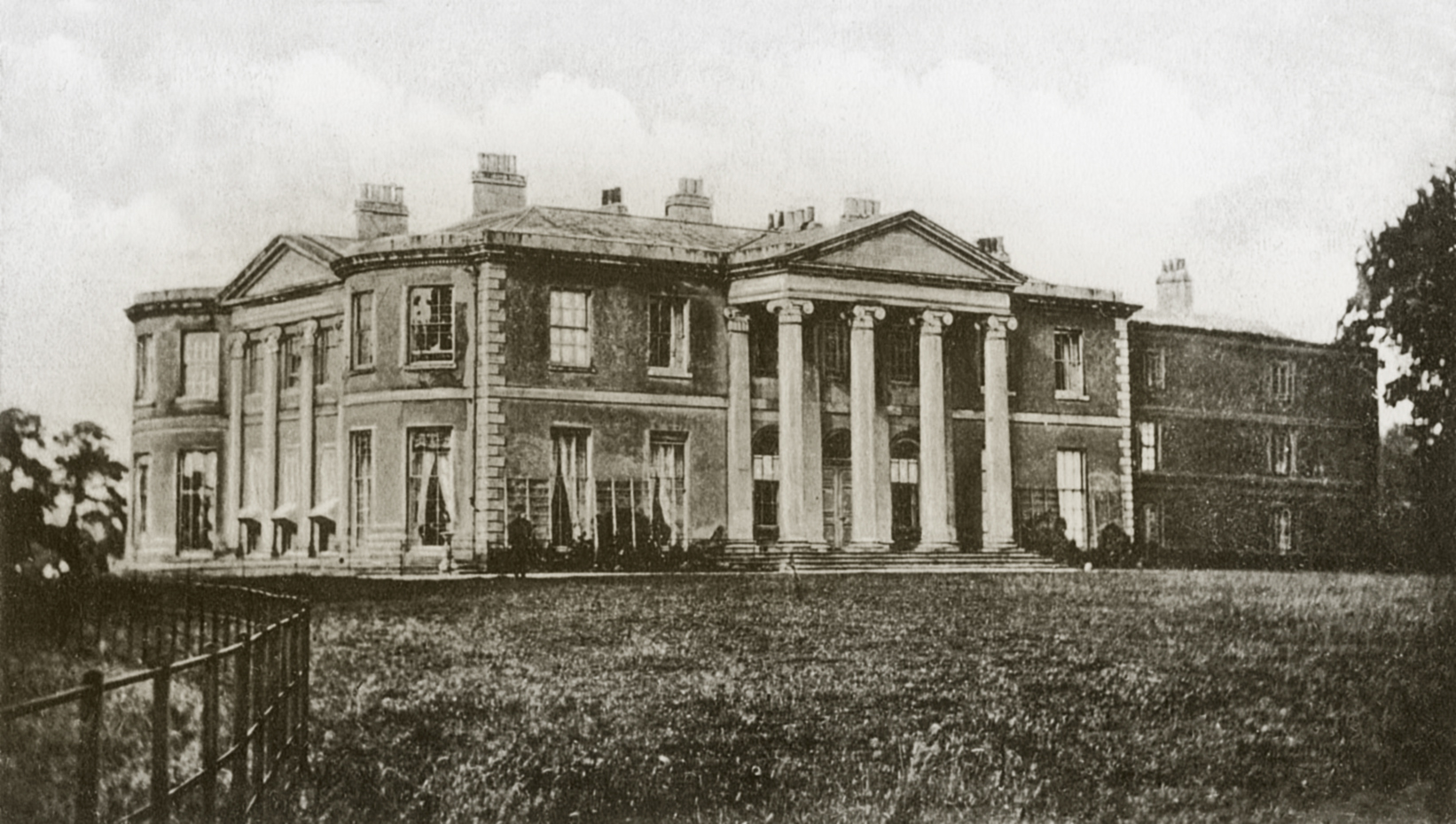
Willingham House

Willingham House was a country house in North Willingham (near Market Rasen), Lincolnshire, England. It was built around 1790 for Ayscoghe Boucherett...

Kirmond le Mire

Kirmond le Mire is a small village and civil parish in the West Lindsey district of Lincolnshire, England. It is situated on the B1203 road, 6 miles (10...

Walesby, Lincolnshire

Walesby is a village and civil parish in the West Lindsey district of Lincolnshire, England. The population of the civil parish at the 2011 census was...

Ludford, Lincolnshire

Ludford is a village and civil parish in the East Lindsey district of Lincolnshire, England. The parish is composed of the villages of Ludford Magna and...

Sixhills

Sixhills is a village in the West Lindsey district of Lincolnshire, England, about 3 miles (4.8 km) south-east from Market Rasen. It lies just south of...

Parts of Lindsey

The Parts of Lindsey are a traditional division of Lincolnshire, England, covering the northern part of the county. The Isle of Axholme, which is on the...

Nearby Amenities

Located within 500m of 53.398542,-0.25223326
Bayons Park
Place: locality
Source: Bing
Lat/Long: 53.3992202/-0.2514446
Ford: yes
Lat/Long: 53.400269/-0.2587286
Bayons Lodge
Place: isolated_dwelling
Source: Bing
Lat/Long: 53.3986459/-0.2571779
Bayons Manor
Place: isolated_dwelling
Source: Bing
Lat/Long: 53.3973162/-0.2529315
Top Lodge
Place: isolated_dwelling
Source: Bing
Lat/Long: 53.3966298/-0.2475797
Barrier: cattle_grid
Lat/Long: 53.3978715/-0.255644
The data included in this document is from www.openstreetmap.org. The data is made available under ODbL.

Have you been to Bayons Park?

Leave your review of Bayons Park below (or comments, questions and feedback).