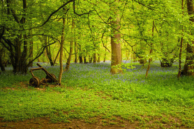
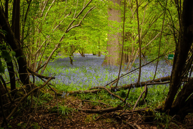
Langley Wood
Wood, Forest in Hertfordshire St. Albans
England
Langley Wood
The requested URL returned error: 429 Too Many Requests
If you have any feedback on the listing, please let us know in the comments section below.
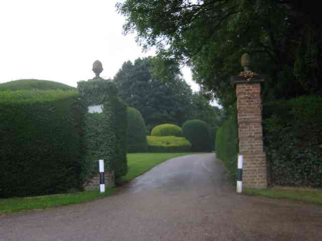
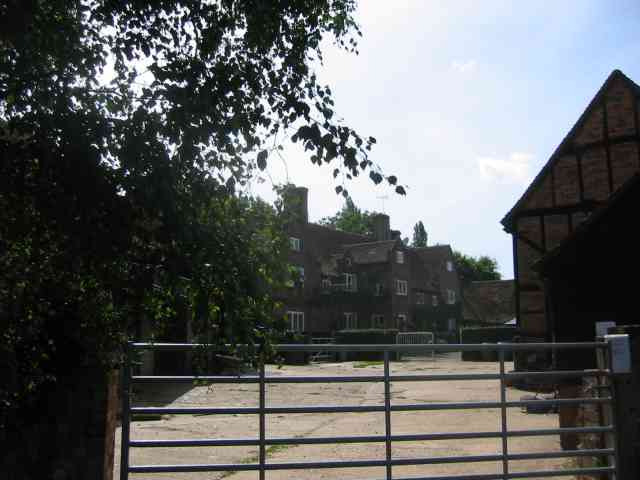
Langley Wood Images
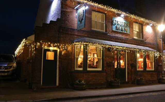
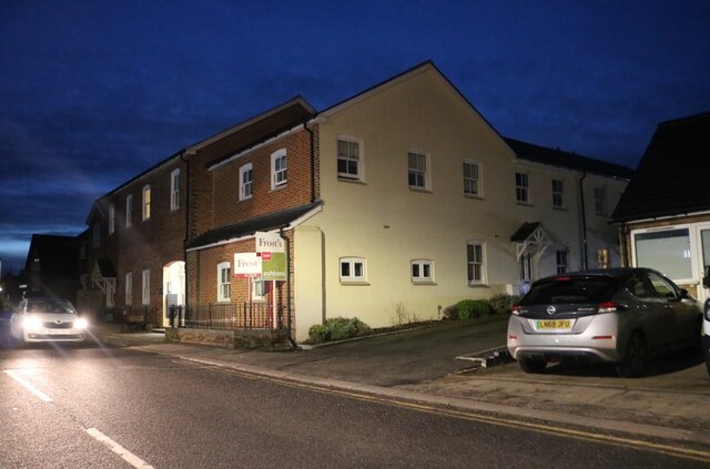
Images are sourced within 2km of 51.784792/-0.31736746 or Grid Reference TL1610. Thanks to Geograph Open Source API. All images are credited.


Langley Wood is located at Grid Ref: TL1610 (Lat: 51.784792, Lng: -0.31736746)
Administrative County: Hertfordshire
District: St. Albans
Police Authority: Hertfordshire
What 3 Words
///loudly.slave.clock. Near Wheathampstead, Hertfordshire
Nearby Locations
Related Wikis

Heartwood Forest
Heartwood Forest is a planned forest (woodland creation site) in Hertfordshire, England. The site covers 347 hectares (860 acres), the largest continuous...
Sandridge Rovers F.C.
Sandridge Rovers Football Club is an English football club based in Sandridge, Hertfordshire. They currently compete in the Herts County League Premier...

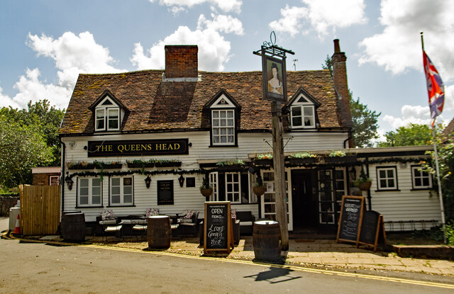
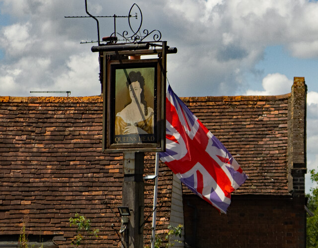
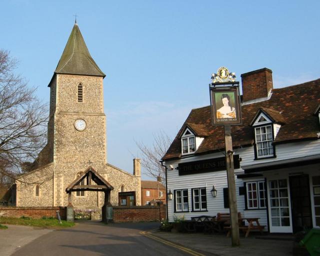
The Queen's Head, Sandridge
The Queens Head is a public house in the village of Sandridge to the north of St Albans, Hertfordshire, England. The timber framed building is weather...
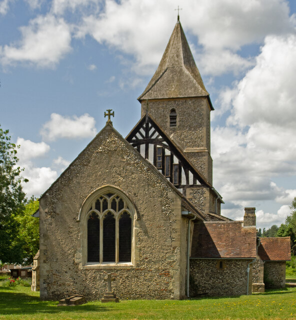
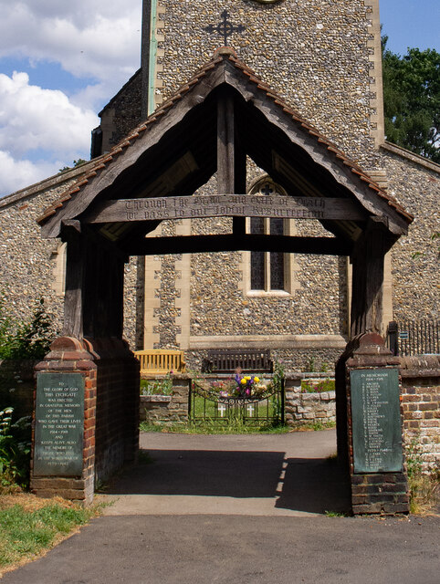
Sandridge Lychgate
Sandridge Lychgate is a war memorial in the village of Sandridge, Hertfordshire, England. The timber lychgate with its flanking walls is listed Grade II...
Nearby Amenities
Located within 500m of 51.784792,-0.31736746Have you been to Langley Wood?
Leave your review of Langley Wood below (or comments, questions and feedback).