Claygate Common
Wood, Forest in Surrey Elmbridge
England
Claygate Common
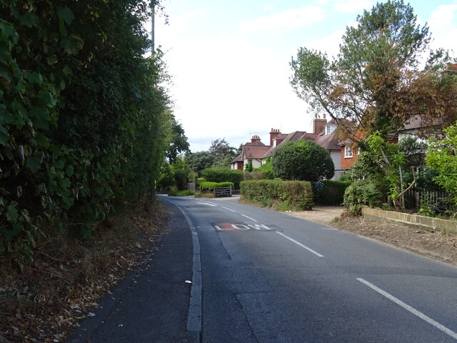
Claygate Common is a picturesque woodland located in Surrey, England. Spread over approximately 72 acres, it is a haven for nature enthusiasts and a popular destination for local residents and visitors alike. The common is situated in the village of Claygate, nestled between Esher and Oxshott.
The woodland is characterized by its dense and diverse vegetation, comprising primarily of oak, birch, and pine trees. These trees provide a lush canopy that offers shade and shelter to a variety of wildlife. The forest floor is covered in a thick layer of ferns, moss, and wildflowers, creating a vibrant and enchanting atmosphere.
Numerous footpaths wind their way through the common, allowing visitors to explore its beauty while enjoying a leisurely stroll or a more vigorous hike. These pathways are well-maintained and clearly signposted, ensuring easy navigation through the woodland. Along the trails, one may encounter a range of wildlife, including deer, rabbits, squirrels, and a wide array of bird species.
Claygate Common also boasts several small ponds and streams, adding to its natural charm and creating a peaceful ambiance. These water features are home to various aquatic plants and creatures, further enhancing the biodiversity of the area.
In addition to its natural beauty, Claygate Common offers recreational facilities such as picnic areas and benches, making it an ideal spot for families and individuals to relax and enjoy the outdoors. The common is open year-round and is free to access, making it an accessible and cherished asset to the local community.
If you have any feedback on the listing, please let us know in the comments section below.
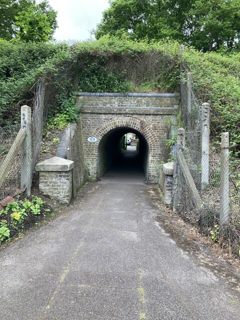
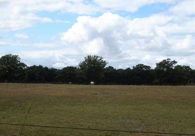
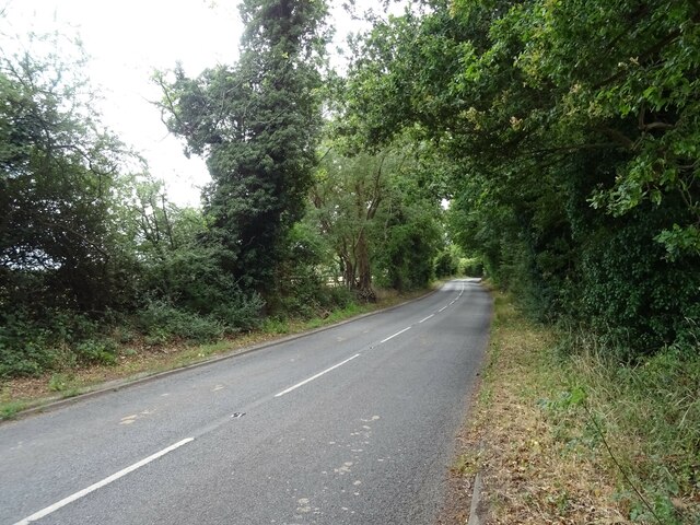
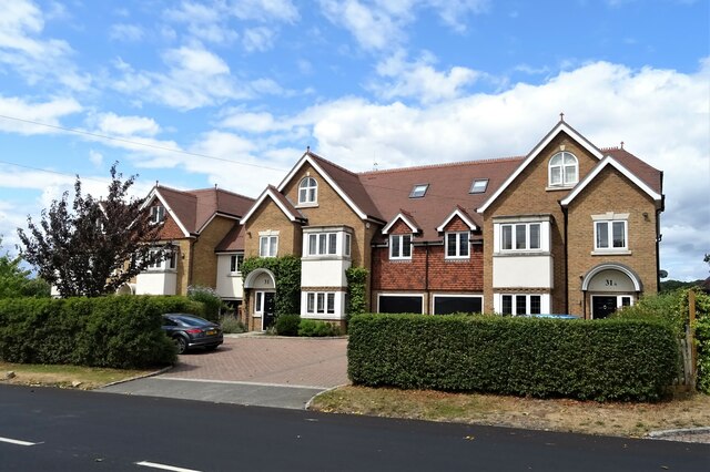
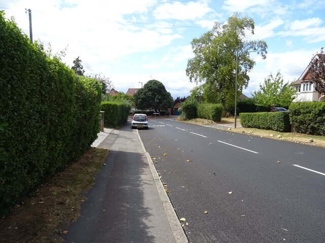
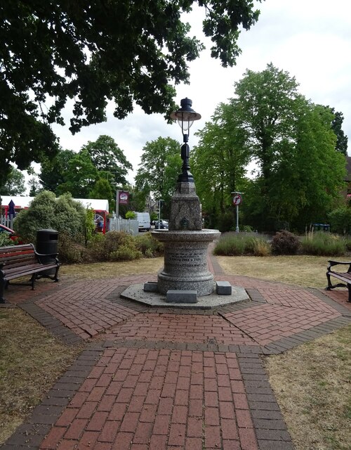
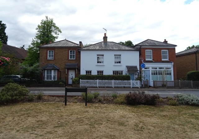
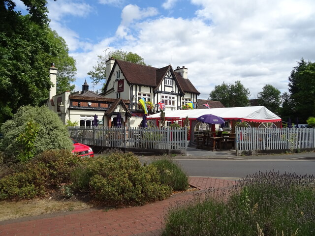
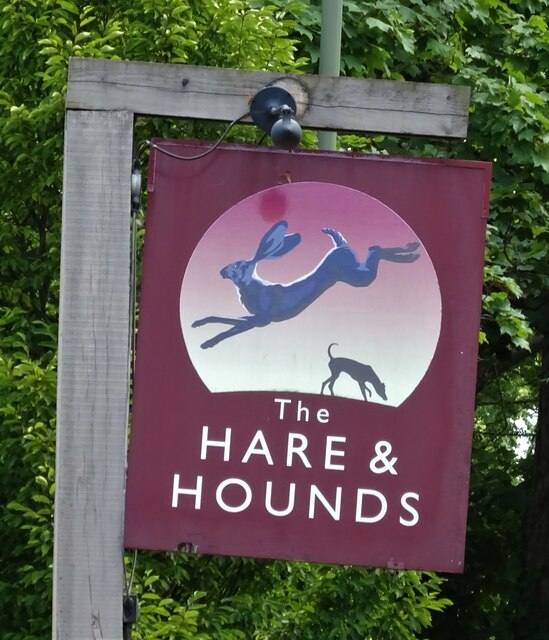
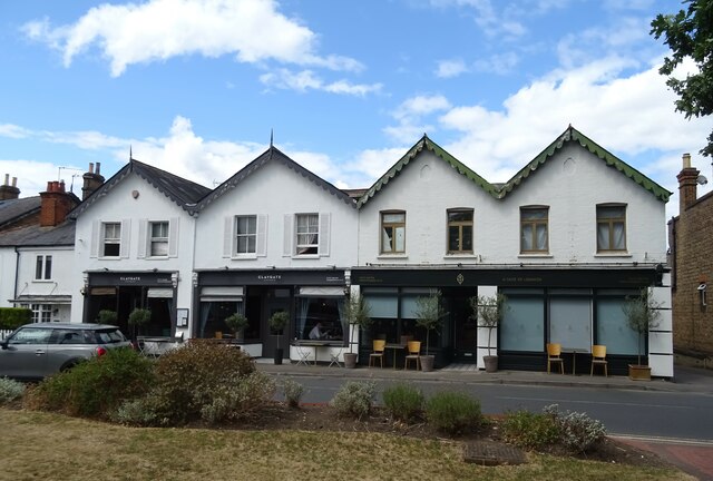
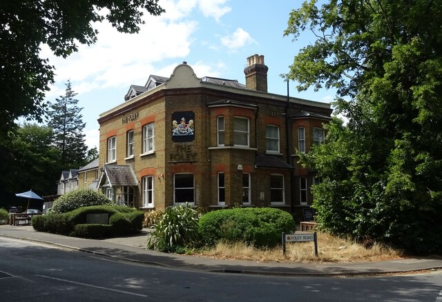
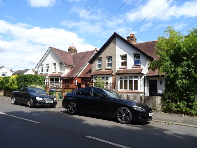
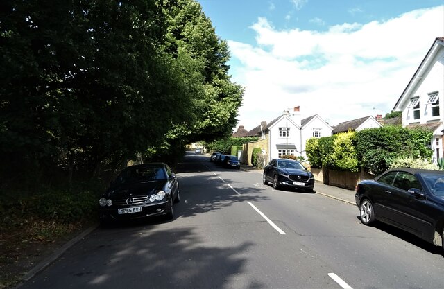
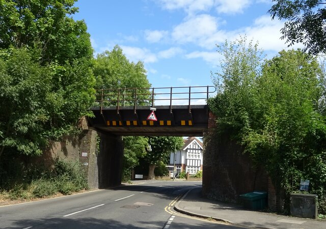
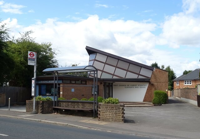
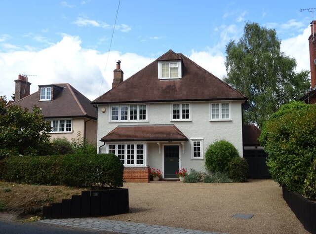
Claygate Common Images
Images are sourced within 2km of 51.35506/-0.33478212 or Grid Reference TQ1663. Thanks to Geograph Open Source API. All images are credited.

Claygate Common is located at Grid Ref: TQ1663 (Lat: 51.35506, Lng: -0.33478212)
Administrative County: Surrey
District: Elmbridge
Police Authority: Surrey
What 3 Words
///king.fact.boss. Near Hinchley Wood, Surrey
Nearby Locations
Related Wikis

Claygate Common
Claygate Common is a 14.1-hectare (35-acre) Local Nature Reserve south-east of Esher in Surrey. It is owned and managed by Elmbridge Borough Council.The...
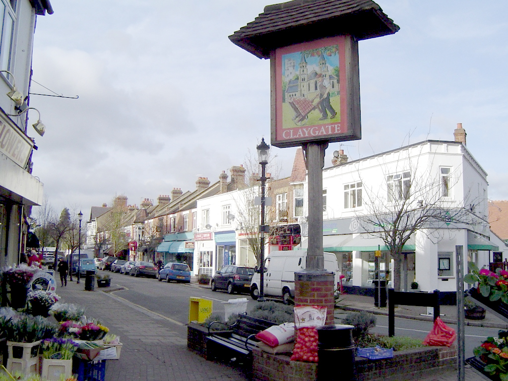
Claygate
Claygate is an affluent suburban village in Surrey, England, 14 miles (23 kilometres) southwest of central London. It is the only civil parish in the borough...

Barwell, London
Barwell is a small locality in the London Borough of Kingston upon Thames, located between Chessington and Claygate and historically in the county of Surrey...
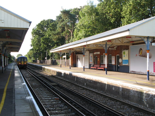
Claygate railway station
Claygate railway station serves the village of Claygate, in Surrey, England. It is on the New Guildford Line from London Waterloo to Guildford. The station...

Tiger Rock
Tiger Rock (previously known as Dragon Falls and Dragon River) is a flume ride at the theme park Chessington World of Adventures in Chessington, southwest...
Terror Tomb
Terror Tomb (later renamed Forbidden Tomb) was a dark ride attraction at Chessington World of Adventures in southwest London, England, themed as an adventure...
The 5th Dimension (ride)
The 5th Dimension was a dark ride at the Chessington World of Adventures Resort in southwest London, England, when the theme park opened and was the first...
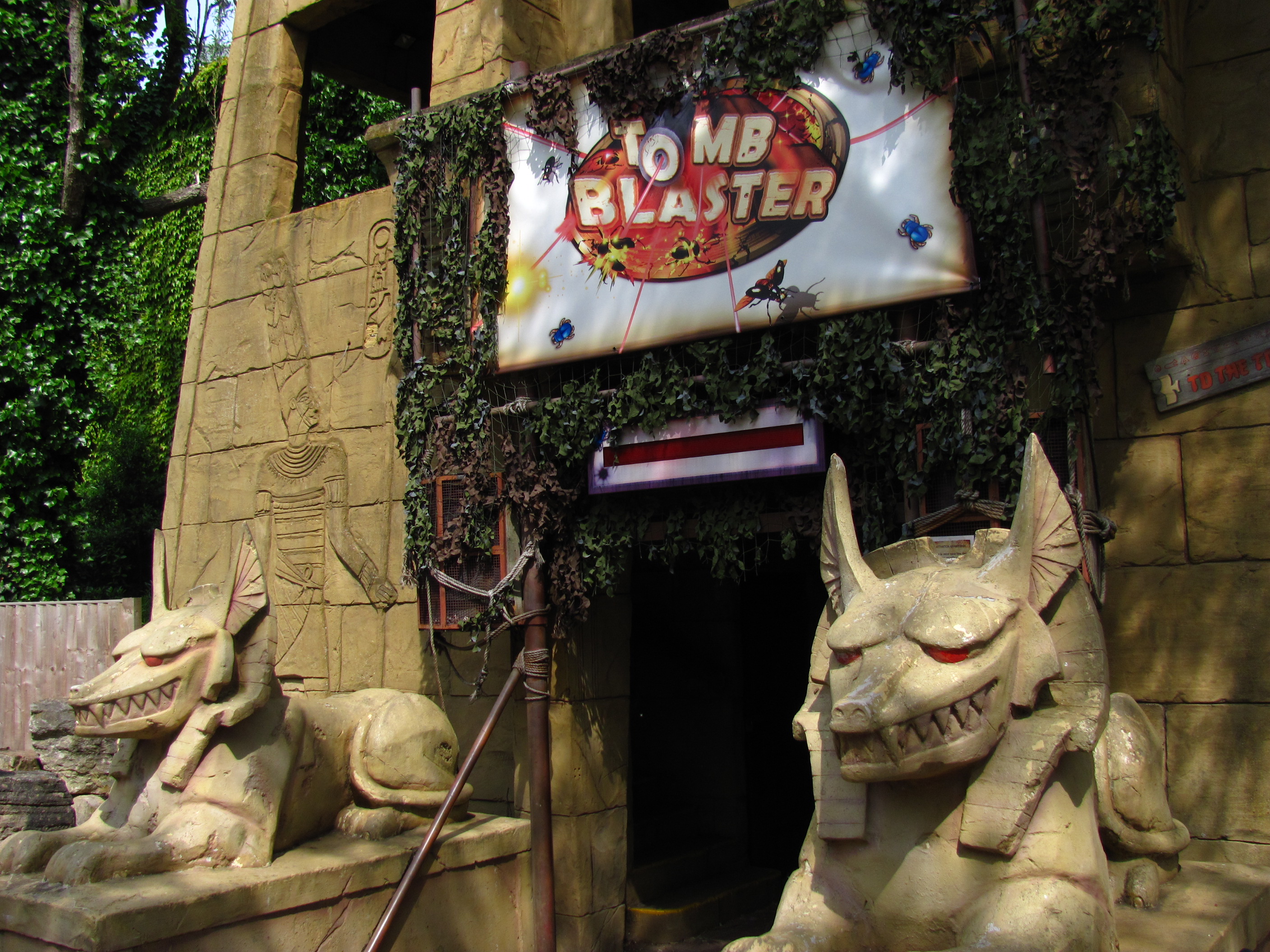
Tomb Blaster
Tomb Blaster is a dark ride that opened in 2002 at Chessington World of Adventures Resort in London. Riders travel in trains through a series of crypts...
Nearby Amenities
Located within 500m of 51.35506,-0.33478212Have you been to Claygate Common?
Leave your review of Claygate Common below (or comments, questions and feedback).