Ferry Wood
Wood, Forest in Lincolnshire North Kesteven
England
Ferry Wood
Ferry Wood is a small woodland area located in Lincolnshire, England. Situated near the village of Ferry, this woodland is known for its natural beauty and tranquil atmosphere. Covering an area of approximately 10 acres, Ferry Wood is predominantly composed of deciduous trees such as oak, ash, and birch.
The wood is a designated Site of Special Scientific Interest (SSSI) due to its diverse flora and fauna. It is home to a variety of plant species including bluebells, primroses, and wild garlic, which create a vibrant display of colors during springtime. The dense tree canopy provides a habitat for numerous bird species, including woodpeckers, thrushes, and owls, making it a haven for birdwatchers and nature enthusiasts.
The wood is intersected by a network of well-maintained footpaths, allowing visitors to explore its beauty and observe the wildlife. These paths lead to a small pond, which serves as a watering hole for local wildlife and adds to the charm of the wood. Additionally, there are picnic areas and benches strategically placed throughout the woodland, offering visitors the opportunity to relax and enjoy the peaceful surroundings.
Ferry Wood is a popular destination for local residents and visitors alike who seek solace in nature. Its accessibility, coupled with its innate beauty, makes it an ideal location for a leisurely walk, a picnic, or simply a moment of tranquility away from the hustle and bustle of everyday life.
If you have any feedback on the listing, please let us know in the comments section below.
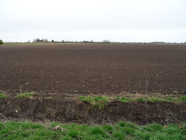
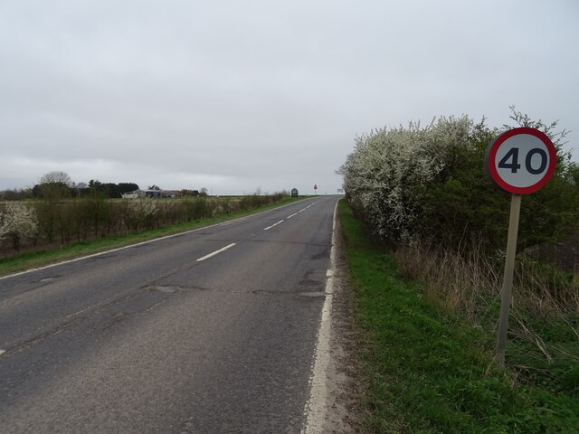
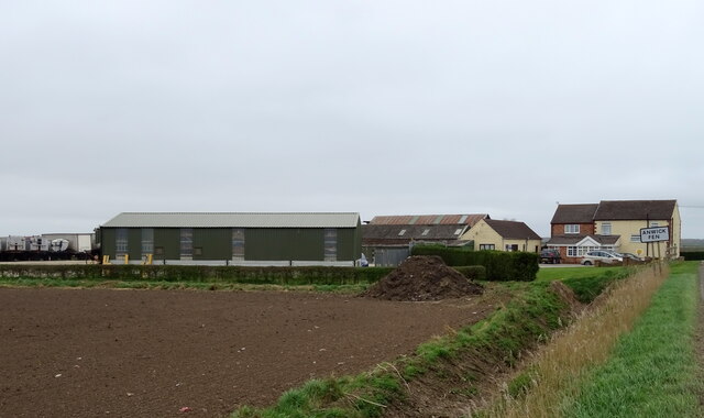
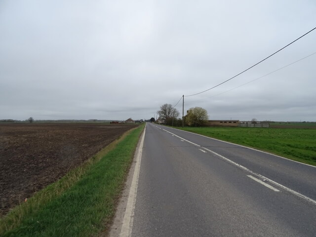
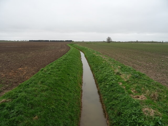
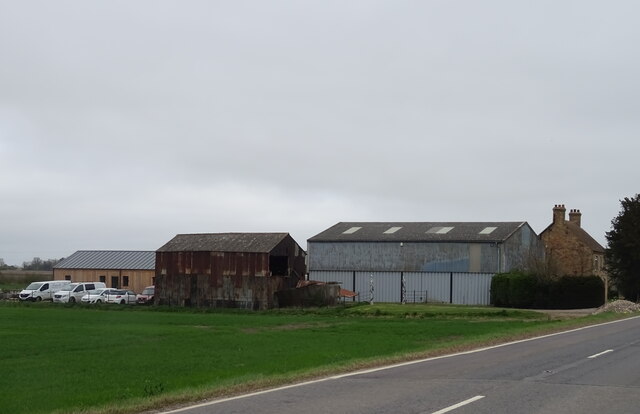
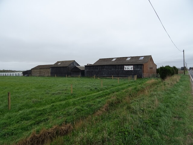
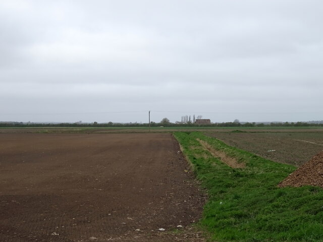
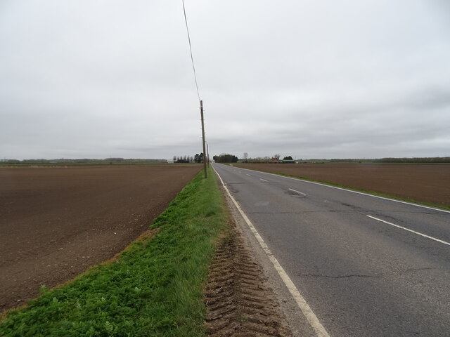
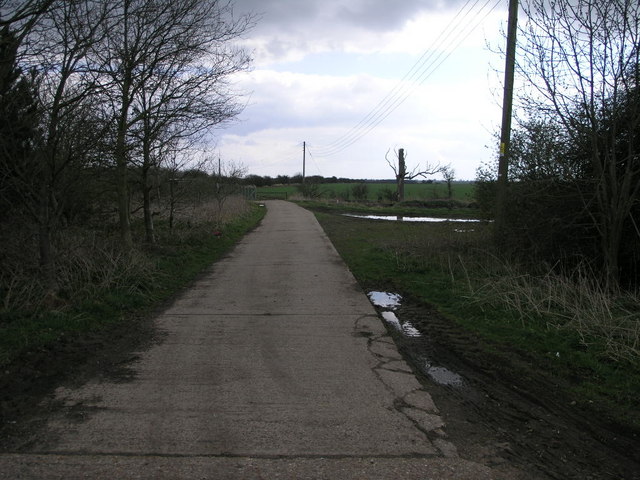
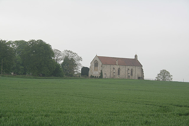
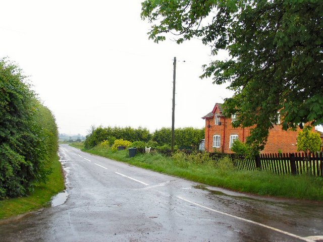
Ferry Wood Images
Images are sourced within 2km of 53.036037/-0.28248461 or Grid Reference TF1550. Thanks to Geograph Open Source API. All images are credited.


Ferry Wood is located at Grid Ref: TF1550 (Lat: 53.036037, Lng: -0.28248461)
Administrative County: Lincolnshire
District: North Kesteven
Police Authority: Lincolnshire
What 3 Words
///ramps.indulges.evolves. Near Billinghay, Lincolnshire
Nearby Locations
Related Wikis
Kyme Priory
Kyme Priory was a priory in South Kyme, Lincolnshire, England. What remains of the buildings are now part of Saint Mary and All Saints Church. The Augustinian...

South Kyme
South Kyme is a small village and civil parish in the North Kesteven district of Lincolnshire, England. The population of the civil parish at the 2011...

North Kyme
North Kyme is a village and civil parish in the North Kesteven district of Lincolnshire, England. The civil parish had a population of 431 at the 2011...

Car Dyke
The Car Dyke was, and to a large extent still is, a long ditch which runs along the western edge of the Fens in eastern England for a distance of over...
Ewerby Thorpe
Ewerby Thorpe is a hamlet in the civil parish of Ewerby and Evedon, in the North Kesteven district of Lincolnshire, England. It lies 2 miles (3.2 km) north...
Ewerby and Evedon
Ewerby and Evedon is a civil parish in North Kesteven, Lincolnshire, England. It includes the villages of Ewerby and Evedon, the hamlet of Haverholme,...

Anwick
Anwick is a small village and civil parish in the North Kesteven district of Lincolnshire, England. The population of the civil parish at the 2011 census...

Howell, Lincolnshire
Howell is a hamlet in the North Kesteven district of Lincolnshire, approximately 1 mile (1.6 km) north of the A17, 4 miles (6 km) east from Sleaford, and...
Nearby Amenities
Located within 500m of 53.036037,-0.28248461Have you been to Ferry Wood?
Leave your review of Ferry Wood below (or comments, questions and feedback).