Botanybay Plantation

Wood, Forest in Hertfordshire North Hertfordshire

England

Botanybay Plantation

The end of the road Little Offley is just one road and it doesn't go anywhere. This track leads off it near the far end.
The end of the road Credit: David Howard

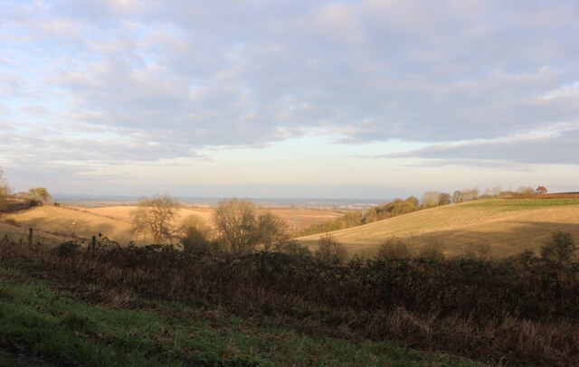
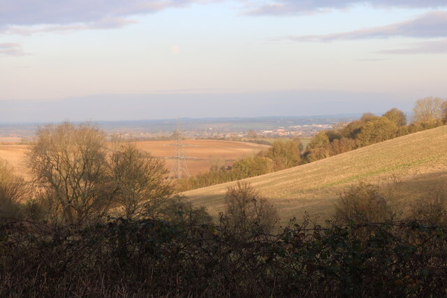
Botanybay Plantation is a picturesque woodland located in Hertfordshire, England. Covering approximately 100 acres of land, this plantation is known for its dense and diverse forest vegetation. It is situated in the southeastern part of Hertfordshire, near the village of Botanybay.

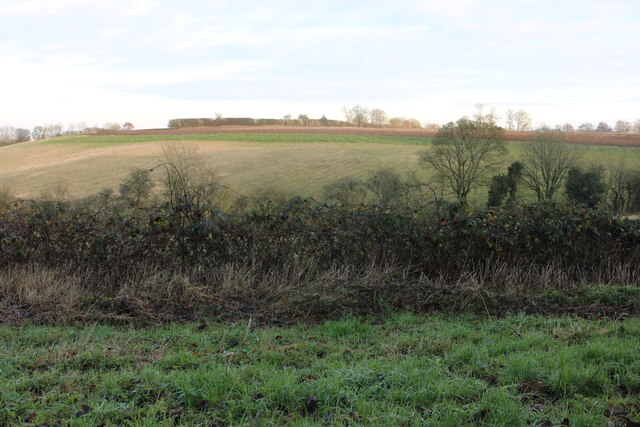
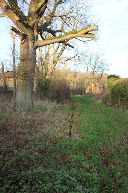
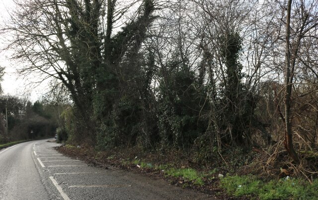
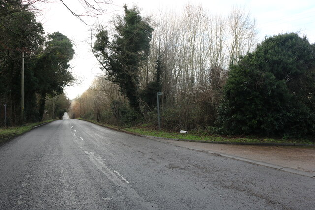
The woodland is predominantly composed of various tree species, such as oak, beech, and birch, which create a dense canopy overhead. This rich tree cover provides ample shade and shelter for the diverse flora and fauna that inhabit the area.

Botanybay Plantation is also home to a range of wildflowers, including bluebells, primroses, and foxgloves, which add vibrant pops of color to the forest floor during the spring season. The undergrowth consists of ferns, mosses, and various types of fungi, creating a lush and enchanting atmosphere.

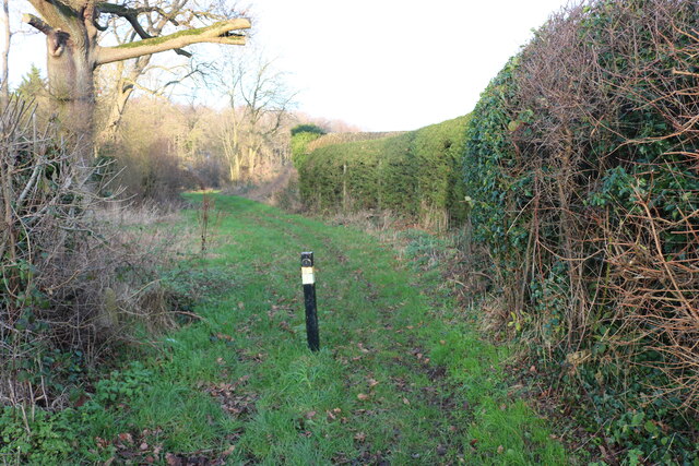
The plantation is a popular destination for nature enthusiasts, hikers, and birdwatchers. It offers several well-maintained walking trails, allowing visitors to explore the woodland's beauty at their own pace. The diverse range of bird species found in Botanybay Plantation attracts birdwatchers who come to spot rare and migratory birds.

In addition to its natural beauty, Botanybay Plantation also holds historical significance. It is believed that the woodland served as a hunting ground for nobility in the past, and remnants of ancient structures can still be found within its boundaries.

Overall, Botanybay Plantation in Hertfordshire is a natural haven, offering visitors an opportunity to immerse themselves in the beauty and tranquility of a traditional English woodland.

If you have any feedback on the listing, please let us know in the comments section below.

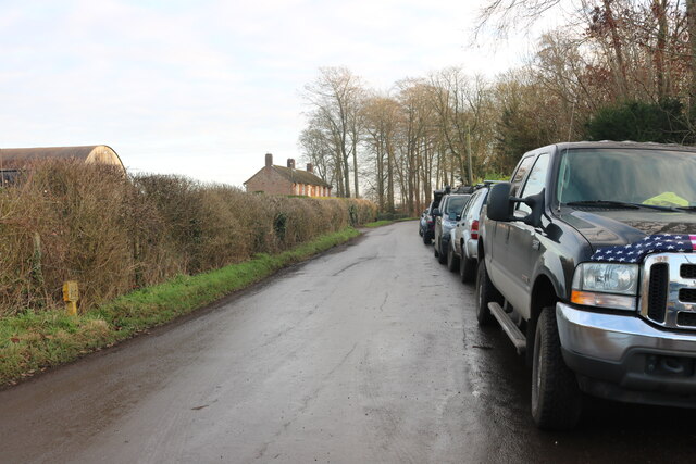
Botanybay Plantation Images

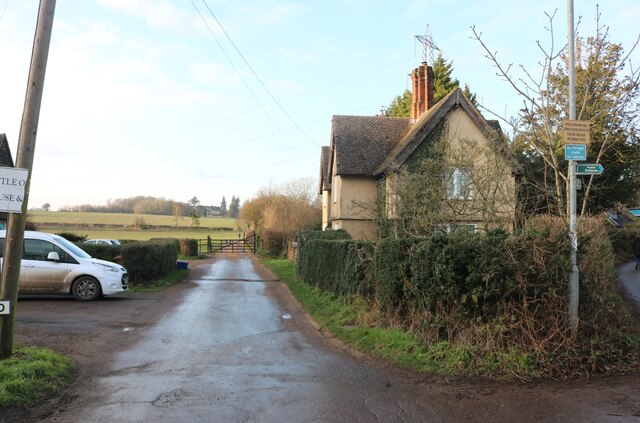
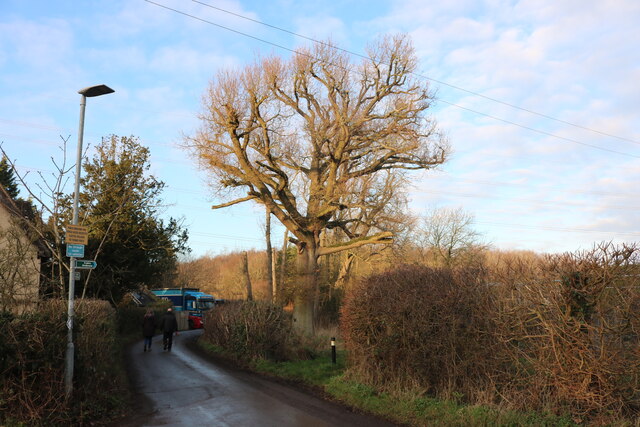
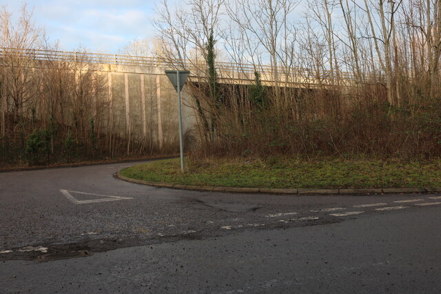
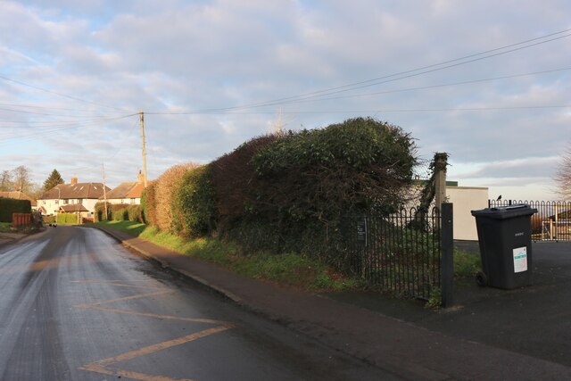
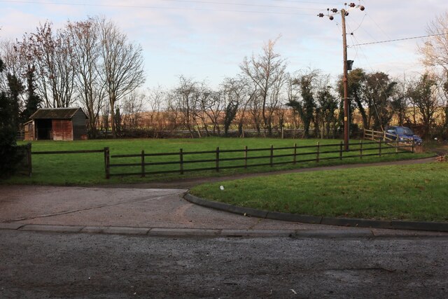
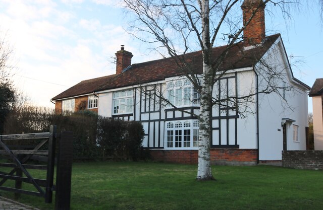
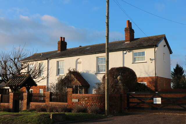
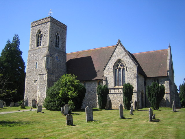
Images are sourced within 2km of 51.9292/-0.3305162 or Grid Reference TL1426. Thanks to Geograph Open Source API. All images are credited.

The end of the road Little Offley is just one road and it doesn't go anywhere. This track leads off it near the far end.
The end of the road
Little Offley is just one road and it doesn't go anywhere. This track leads off it near the far end.
School Lane, Little Offley It was a very busy Sunday afternoon considering, with lots of walkers out for the nice weather in proper gear. They were all parked up along the road (and quite a few nearby) changing by the roadside.
School Lane, Little Offley
It was a very busy Sunday afternoon considering, with lots of walkers out for the nice weather in proper gear. They were all parked up along the road (and quite a few nearby) changing by the roadside.
School Lane crossing the Offley Bypass
Offley Hill by the Offley Bypass
Offley Endowed Primary School
School Lane, Great Offley The school is on the right
School Lane, Great Offley
The school is on the right
View across Birkitt Hill, Little Offley
School Lane, Little Offley
Birkitt Hill, Little Offley
Path in Little Offley
Offley Hill, Great Offley
Lawn by Offley Hill, Great Offley
House on School Lane, Great Offley
Mill Farm Cottage, Great Offley Built in 1847
Mill Farm Cottage, Great Offley
Built in 1847
Show me another place!

Botanybay Plantation is located at Grid Ref: TL1426 (Lat: 51.9292, Lng: -0.3305162)

Administrative County: Hertfordshire

District: North Hertfordshire

Police Authority: Hertfordshire

What 3 Words

///marsh.slides.climbing. Near Hitchin, Hertfordshire

Related Wikis

Offley

Offley is a civil parish in the English county of Hertfordshire, between Hitchin and Luton. The main village is Great Offley, and the parish also contains...

Hitchin Yeshiva

Yeshivas Toras Chessed is a Jewish yeshiva, or rabbinical school. Its curriculum focuses on Torah study, emphasizing the study of Talmud and Jewish law...

Lilley, Hertfordshire

Lilley is a small village and civil parish situated between Hitchin and Luton in Hertfordshire, England. Lilley stands on high ground: nearby Telegraph...

Charlton, Hertfordshire

Charlton is a hamlet in the county of Hertfordshire, in the East of England. It is a component hamlet of the market town of Hitchin, forming a part of...

Nearby Amenities

Located within 500m of 51.9292,-0.3305162
Give Way
Direction: backward
Note: unsuitable for motor vehicles sign
Source Give Way: implied
Lat/Long: 51.9268285/-0.3349463
Barrier: kissing_gate
Foot: yes
Lat/Long: 51.931818/-0.3349818
Access: yes
Barrier: kissing_gate
Foot: yes
Vehicle: no
Lat/Long: 51.9298153/-0.3283675
Turning Circle
Lat/Long: 51.9293498/-0.3358297
Recycling
Lat/Long: 51.927827/-0.3346753
Access: private
Addr Flats: 1;2;3;4;5;6;7;8;9;10;11;12;13;14;15;16;17;18;19;20;21;22
Entrance: main
Lat/Long: 51.9274489/-0.3371464
Barrier: kissing_gate
Bicycle: no
Foot: yes
Material: wood
Lat/Long: 51.9270716/-0.3349675
Offley War Memorial
Artist Name: Farmer and Brindley
Description: Crucifix on three concentric base octagons. Figure stated to have been based on a carving in Worcester Cathedral.
Direction: NE
Historic: memorial
Inscription: IN MEMORY OF THE MEN OF OFFLEY WHO GAVE THEIR LIVES IN THE GREAT WAR 1914-1919 SUCH A DEATH IS IMMORTALITY
Memorial: war_memorial
Ref WM: 3825
Ref WMO ID: 118850
Source: knowledge
Start Date: 1920-03-07
Wheelchair: limited
Lat/Long: 51.9276414/-0.3358854
Barrier: kissing_gate
Foot: yes
Lat/Long: 51.9309716/-0.3366229
Access: private
Barrier: swing_gate
Foot: yes
Motorcar: yes
Swing Gate Type: single
Lat/Long: 51.926687/-0.3284402
Give Way
Direction: forward
Lat/Long: 51.9275378/-0.3357039
Give Way
Direction: forward
Lat/Long: 51.9286505/-0.3371108
Barrier: kissing_gate
Bicycle: no
Foot: yes
Material: wood
Lat/Long: 51.9265888/-0.3350752
Waste Basket
Waste: dog_excrement
Lat/Long: 51.9279742/-0.3360697
Fire Hydrant
Emergency: fire_hydrant
Fire Hydrant Count: 1
Fire Hydrant Position: sidewalk
Fire Hydrant Type: underground
Source: Local knowledge
Lat/Long: 51.9276926/-0.3357841
Bench
Backrest: yes
Colour: black
Direction: SW
Material: metal
Seats: 4
Lat/Long: 51.9275853/-0.3355863
Access: customers
Entrance: main
Lat/Long: 51.9281092/-0.3348487
Give Way
Direction: forward
Lat/Long: 51.9289875/-0.3375399
Access: private
Door: overhead
Entrance: yes
Motorcar: private
Lat/Long: 51.9288466/-0.3375492
Access: private
Door: overhead
Entrance: yes
Motorcar: private
Lat/Long: 51.9285715/-0.3374666
Waste Basket
Waste: trash
Lat/Long: 51.9286864/-0.3369854
Access: customers
Barrier: swing_gate
Note: Usually open.
Swing Gate Type: single
Lat/Long: 51.9283598/-0.3365193
Access: private
Door: overhead
Entrance: yes
Motorcar: private
Lat/Long: 51.9279295/-0.3373671
Access: private
Door: overhead
Entrance: yes
Motorcar: private
Lat/Long: 51.9282762/-0.3369878
Access: private
Door: overhead
Entrance: yes
Motorcar: private
Lat/Long: 51.9283262/-0.3374736
Access: private
Door: overhead
Entrance: yes
Motorcar: private
Lat/Long: 51.9284252/-0.3372894
Access: private
Entrance: emergency
Lat/Long: 51.9272901/-0.3368327
Access: private
Entrance: emergency
Lat/Long: 51.9275892/-0.3372222
Grit Bin
Colour: yellow
Direction: WSW
Lat/Long: 51.9274542/-0.3371253
Access: private
Door: overhead
Entrance: yes
Motorcar: private
Lat/Long: 51.9274987/-0.3361768
Access: private
Door: overhead
Entrance: yes
Motorcar: private
Lat/Long: 51.9274948/-0.3360568
Access: private
Door: overhead
Entrance: yes
Motorcar: private
Lat/Long: 51.9273835/-0.3356825
Access: private
Entrance: main
Lat/Long: 51.9273734/-0.3357047
Access: private
Entrance: main
Lat/Long: 51.927303/-0.3358187
Access: private
Door: overhead
Entrance: yes
Motorcar: private
Lat/Long: 51.9273004/-0.33579
Access: private
Entrance: main
Lat/Long: 51.9272236/-0.3359394
Access: private
Door: overhead
Entrance: yes
Motorcar: private
Lat/Long: 51.9272191/-0.3359142
Access: private
Door: overhead
Entrance: yes
Motorcar: private
Lat/Long: 51.9271624/-0.3362209
Access: private
Entrance: main
Lat/Long: 51.9271419/-0.3360717
Access: private
Door: overhead
Entrance: yes
Motorcar: private
Lat/Long: 51.9270959/-0.3363571
Access: private
Covered: yes
Door: overhead
Entrance: yes
Motorcar: private
Lat/Long: 51.9270231/-0.336333
Access: private
Covered: yes
Entrance: main
Lat/Long: 51.9270301/-0.3363597
Access: private
Entrance: main
Lat/Long: 51.926991/-0.3366152
Access: private
Door: overhead
Entrance: yes
Motorcar: private
Lat/Long: 51.9269436/-0.3364616
Access: private
Door: overhead
Entrance: yes
Motorcar: private
Lat/Long: 51.9268769/-0.3367539
Access: private
Entrance: main
Lat/Long: 51.9268842/-0.3366948
Access: customers
Entrance: yes
Lat/Long: 51.9280443/-0.3358984
Offley Church War Memorial
Description: Two grey marble tablets with gold lettering, one for each world war.
Direction: SSE
Historic: memorial
Inscription: IN MEMORY OF THE PARISHIONERS OF OFFLEY WHO GAVE THEIR LIVES WHILST SERVING WITH THE ARMED FORCES 1914-1918/1939-1945
Location: indoor
Memorial: plaque
Ref WM: 3826
Start Date: 1969-11
Wheelchair: limited
Lat/Long: 51.9281884/-0.3355314
Access: customers
Entrance: main
Lat/Long: 51.9279921/-0.3356787
Access: private
Door: overhead
Entrance: yes
Motorcar: private
Lat/Long: 51.9278001/-0.3362686
Access: private
Door: overhead
Entrance: yes
Motorcar: private
Lat/Long: 51.9278912/-0.3363655
Access: private
Door: overhead
Entrance: yes
Motorcar: private
Lat/Long: 51.9279856/-0.3365098
Access: private
Door: overhead
Entrance: yes
Motorcar: private
Lat/Long: 51.9280525/-0.3366088
Access: private
Door: overhead
Entrance: yes
Motorcar: private
Lat/Long: 51.9282673/-0.336889
Fixme: Extent of new street to be surveyed and surrounding houses added
Lat/Long: 51.9269758/-0.3334798
The data included in this document is from www.openstreetmap.org. The data is made available under ODbL.

Have you been to Botanybay Plantation?

Leave your review of Botanybay Plantation below (or comments, questions and feedback).