High Wood

Wood, Forest in Huntingdonshire Huntingdonshire

England

High Wood

Kimbolton Road near Hail Weston
Kimbolton Road near Hail Weston Credit: David Howard

High Wood is a small woodland located in Huntingdonshire, a county in the eastern part of England. Situated near the village of Woodhurst, it covers an area of approximately 30 acres. The woodland is predominantly composed of deciduous trees, such as oak, ash, and beech, with a thick undergrowth of shrubs, ferns, and wildflowers.

High Wood is known for its scenic beauty and tranquil atmosphere, making it a popular destination for nature enthusiasts and hikers. The wood offers various walking trails that wind through its dense foliage, providing visitors with opportunities to explore and appreciate the diverse flora and fauna that inhabit the area. Additionally, the wood serves as a habitat for several bird species, including woodpeckers, owls, and songbirds, making it a haven for birdwatchers.

In addition to its natural beauty, High Wood holds historical significance. During World War I, it was the site of intense fighting between British and German forces in the Battle of the Somme. The woodland witnessed heavy casualties, with soldiers from both sides losing their lives in the fierce combat. Today, visitors can find memorials and plaques scattered throughout the wood, commemorating the sacrifices made during the war.

Overall, High Wood offers a peaceful retreat for those seeking solace in nature and an opportunity to reflect on the area's historical significance. Its lush vegetation, diverse wildlife, and poignant memorials make it a truly unique destination in Huntingdonshire.

If you have any feedback on the listing, please let us know in the comments section below.
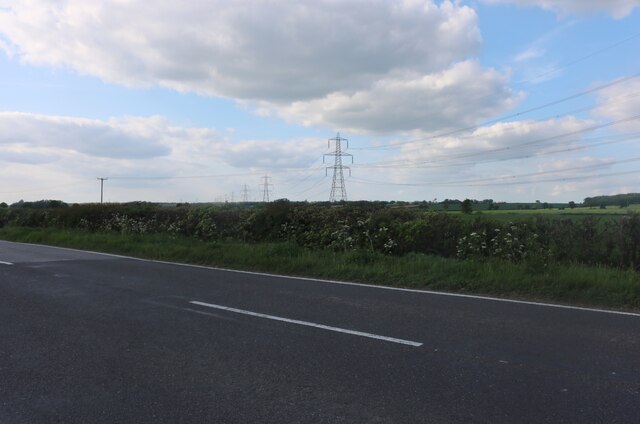
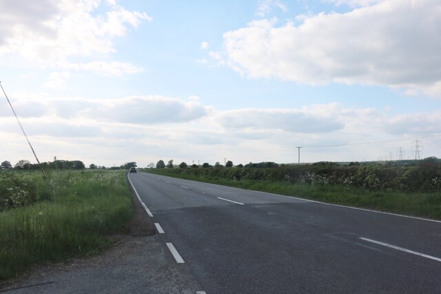
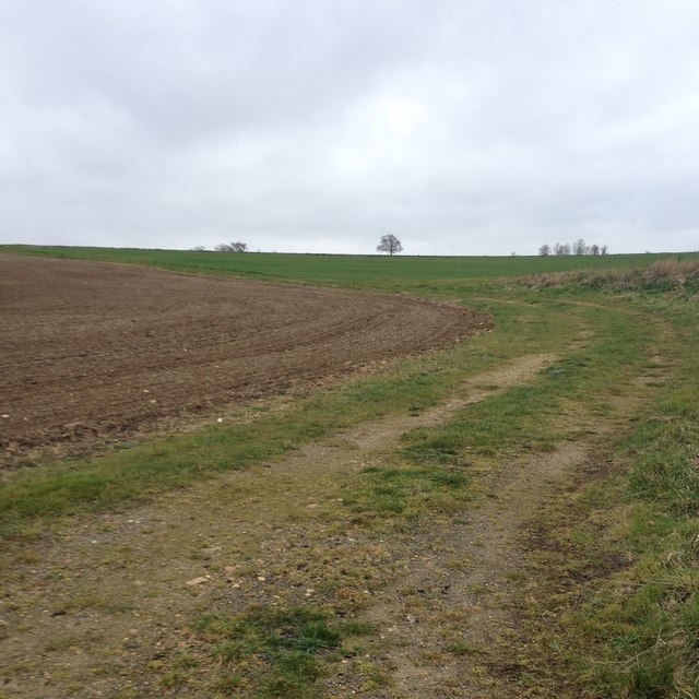
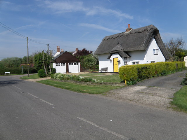
High Wood Images

Images are sourced within 2km of 52.246351/-0.32380797 or Grid Reference TL1462. Thanks to Geograph Open Source API. All images are credited.

Kimbolton Road near Hail Weston
Kimbolton Road, Hail Weston
Hail Weston : Parish Church of St Nicholas Grade II* listed - <span class="nowrap"><a title="https://historicengland.org.uk/listing/the-list/list-entry/1330437?section=official-list-entry" rel="nofollow ugc noopener" href="https://historicengland.org.uk/listing/the-list/list-entry/1330437?section=official-list-entry">Link</a><img style="margin-left:2px;" alt="External link" title="External link - shift click to open in new window" src="https://s1.geograph.org.uk/img/external.png" width="10" height="10"/></span>.
Hail Weston : Parish Church of St Nicholas
Grade II* listed - LinkExternal link.
Hail  Weston : tower, Parish Church of St Nicholas Grade II* listed - <span class="nowrap"><a title="https://historicengland.org.uk/listing/the-list/list-entry/1330437?section=official-list-entry" rel="nofollow ugc noopener" href="https://historicengland.org.uk/listing/the-list/list-entry/1330437?section=official-list-entry">Link</a><img style="margin-left:2px;" alt="External link" title="External link - shift click to open in new window" src="https://s1.geograph.org.uk/img/external.png" width="10" height="10"/></span>.
Hail Weston : tower, Parish Church of St Nicholas
Grade II* listed - LinkExternal link.
Crossroads and fields near Duloe
Houses at Duloe
Houses at Duloe
St Nicholas, Hail Weston The church dates from C13. The timber-framed tower was built in C14 and is the only remaining example of this in the country. See <span class="nowrap"><a title="http://www.britishlistedbuildings.co.uk/en-54358-parish-church-of-st-nicholas-hail-weston-#.VdTi-_lViko" rel="nofollow ugc noopener" href="http://www.britishlistedbuildings.co.uk/en-54358-parish-church-of-st-nicholas-hail-weston-#.VdTi-_lViko">Link</a><img style="margin-left:2px;" alt="External link" title="External link - shift click to open in new window" src="https://s1.geograph.org.uk/img/external.png" width="10" height="10"/></span> for entry in British Listed Buildings
St Nicholas, Hail Weston
The church dates from C13. The timber-framed tower was built in C14 and is the only remaining example of this in the country. See LinkExternal link for entry in British Listed Buildings
Leaving Hail Weston
Leaving Hail Weston
Path towards High Wood, Hail Weston
Pond on South Brook
Pond on South Brook
Path towards High Wood, Hail Weston
Path towards High Wood, Staploe
Well hidden pill box
Path towards Cherry Orchard Farm
Show me another place!

High Wood is located at Grid Ref: TL1462 (Lat: 52.246351, Lng: -0.32380797)

Administrative County: Cambridgeshire

District: Huntingdonshire

Police Authority: Cambridgeshire

What 3 Words

///slick.shortens.tapes. Near Eaton Socon, Cambridgeshire

Nearby Locations

High Wood

Related Wikis

Hail Weston

Hail Weston is a village and civil parish in Cambridgeshire, England. Hail Weston lies approximately 7 miles (11 km) south of Huntingdon. Hail Weston is...

The Royal Oak, Hail Weston

The Royal Oak is a 17th-century pub in the village of Hail Weston, Cambridgeshire (historically Huntingdonshire). It is the last remaining pub in the village...

Duloe, Bedfordshire

Duloe is a hamlet in the English county of Bedfordshire. A former spelling of the name may be "Devylho" or "Deuylho", as seen in 1460, in a legal record...

Great Staughton

Great Staughton is a village and civil parish in Cambridgeshire, England. Great Staughton lies approximately 8 miles (13 km) south-west of Huntingdon....

Nearby Amenities

Located within 500m of 52.246351,-0.32380797
Power: tower
Source: bing
Lat/Long: 52.2449272/-0.3258009
Power: tower
Source: bing
Lat/Long: 52.2470564/-0.3265805
Power: tower
Source: bing
Lat/Long: 52.2423065/-0.3240506
Power: tower
Source: bing
Lat/Long: 52.2497657/-0.3276428
Tree: yes
Lat/Long: 52.2453586/-0.3298901
Note: needs survey does this path still connect to west
Lat/Long: 52.2448399/-0.3252336
The data included in this document is from www.openstreetmap.org. The data is made available under ODbL.

Have you been to High Wood?

Leave your review of High Wood below (or comments, questions and feedback).