Long Belt

Wood, Forest in Huntingdonshire

England

Long Belt

Vetchfield, road
Vetchfield, road Credit: Alex McGregor

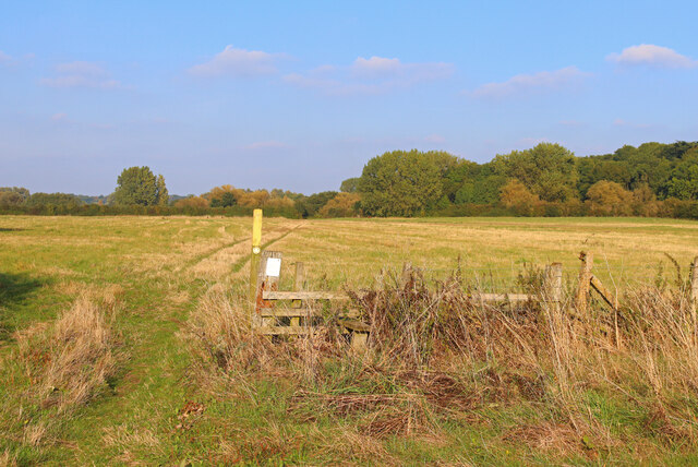
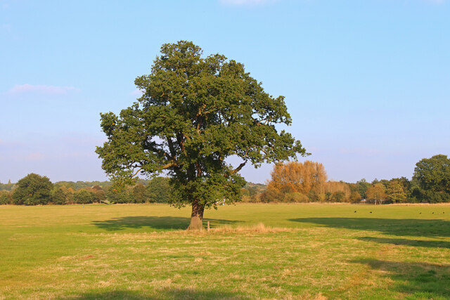
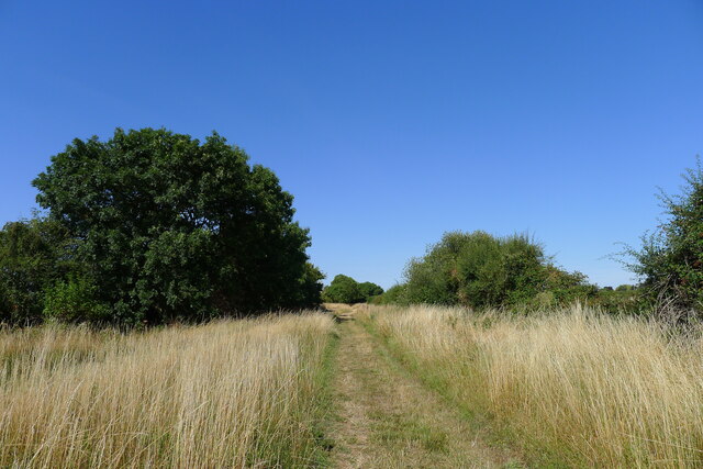
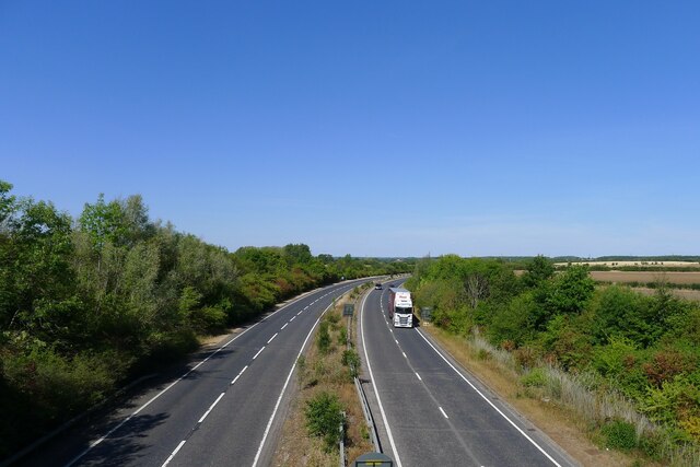
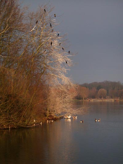
Long Belt is a small woodland area located in Huntingdonshire, a historic county in England. Situated near the town of Huntingdon, Long Belt is known for its picturesque landscape and dense forest cover. The woodland spans approximately 200 acres and consists primarily of a mix of deciduous and coniferous trees, creating a rich and diverse habitat for various flora and fauna.

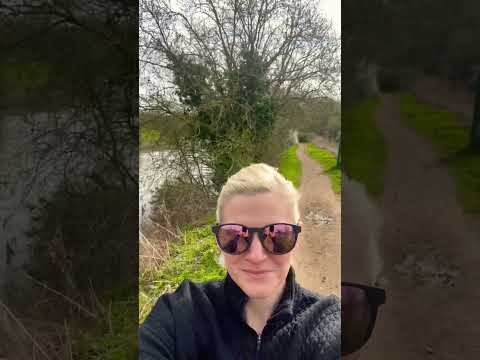
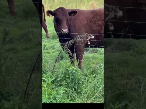
Long Belt is a popular destination for nature enthusiasts and outdoor activities such as hiking, birdwatching, and wildlife photography. The woodland is home to a wide range of wildlife, including deer, foxes, rabbits, and numerous bird species. The peaceful and tranquil atmosphere of Long Belt provides visitors with a serene escape from the hustle and bustle of everyday life.

The woodland is well-maintained, with marked trails and footpaths that allow visitors to explore its natural beauty. The dense foliage provides ample shade, making it an ideal spot for picnics and nature walks, especially during the warmer months. Long Belt is also a designated Site of Special Scientific Interest (SSSI), recognizing its ecological importance and the presence of rare plant species.

In addition to its natural charm, Long Belt has historical significance. The woodland was once part of the medieval hunting grounds of the local nobility, and remnants of old hunting lodges and boundary markers can still be found within its boundaries.

Overall, Long Belt offers a stunning and peaceful retreat for nature lovers, providing a unique opportunity to immerse oneself in the beauty of a well-preserved woodland in Huntingdonshire.

If you have any feedback on the listing, please let us know in the comments section below.
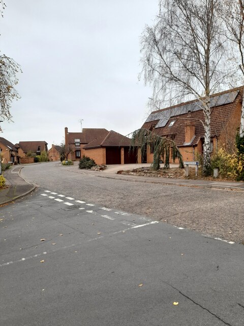
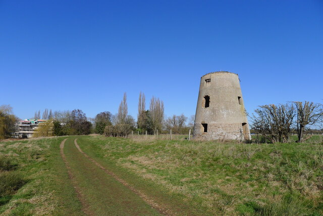
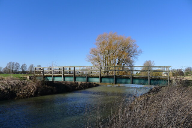
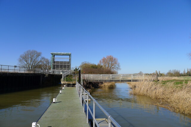
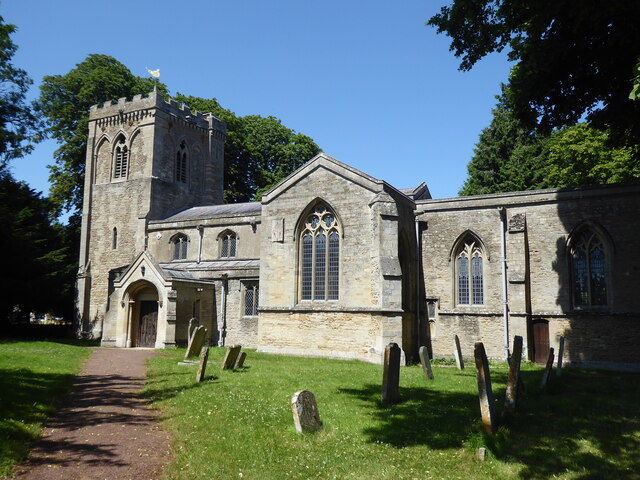
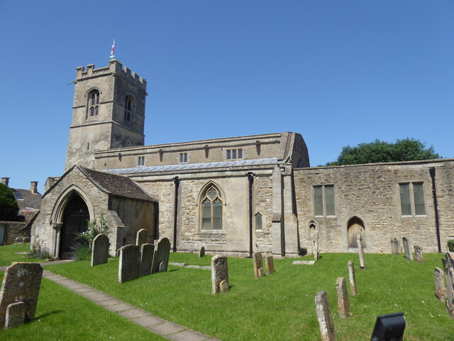
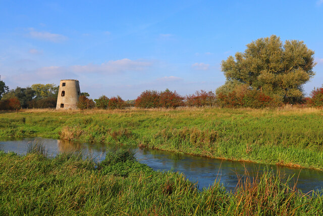
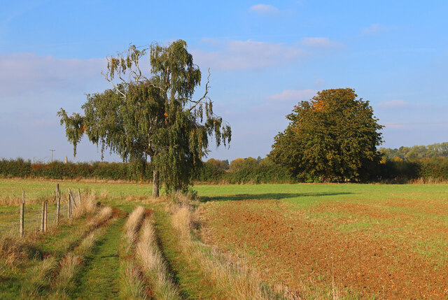
Long Belt Images

Images are sourced within 2km of 52.557451/-0.31238848 or Grid Reference TL1496. Thanks to Geograph Open Source API. All images are credited.

Vetchfield, road
Vetchfield, road
Castor Mills A mid 19th century tower windmill and, behind left, an early 19th century water mill undergoing restoration  <span class="nowrap"><a title="https://historicengland.org.uk/listing/the-list/list-entry/1162635" rel="nofollow ugc noopener" href="https://historicengland.org.uk/listing/the-list/list-entry/1162635">Link</a><img style="margin-left:2px;" alt="External link" title="External link - shift click to open in new window" src="https://s1.geograph.org.uk/img/external.png" width="10" height="10"/></span>
Castor Mills
A mid 19th century tower windmill and, behind left, an early 19th century water mill undergoing restoration LinkExternal link
The Hereward Way crossing Back Dike The dike is a short, separate course of the Nene supplying Castor Mill. The small area of land to the left of the bridge, essentially an island between two courses of the river, is Nene Park's 'East Holmes' (see description for <a href="https://www.geograph.org.uk/photo/7110621">TL1097 : Footpath along West Holmes</a>)
The Hereward Way crossing Back Dike
The dike is a short, separate course of the Nene supplying Castor Mill. The small area of land to the left of the bridge, essentially an island between two courses of the river, is Nene Park's 'East Holmes' (see description for TL1097 : Footpath along West Holmes)
Alwalton Lock A common lock type on the Nene: a steel guillotine lock gate on the downstream side, and 'conventional' double 'V door', wooden gates upstream.
Alwalton Lock
A common lock type on the Nene: a steel guillotine lock gate on the downstream side, and 'conventional' double 'V door', wooden gates upstream.
Alwalton, St Andrew
Alwalton, St Andrew
Orton Waterville, St Mary
Former Windmill Windmill near Castor on the River Nene.
Former Windmill
Windmill near Castor on the River Nene.
Footpath near the River Nene Sharp turn in the path near Castor.
Footpath near the River Nene
Sharp turn in the path near Castor.
Nene Way Footpath near Castor.
Nene Way
Footpath near Castor.
Lynch Bridge Nene Valley Railway, near Peterborough.
Lynch Bridge
Nene Valley Railway, near Peterborough.
Ferry Meadows Prominent tree, in Ferry Meadows.
Ferry Meadows
Prominent tree, in Ferry Meadows.
Landy Green Way Marked as a footpath. But a parish council notice says that horse riders have temporary permission to use it (i.e.treat it as a bridleway?).
Landy Green Way
Marked as a footpath. But a parish council notice says that horse riders have temporary permission to use it (i.e.treat it as a bridleway?).
The A47 passing to the north of Castor A dual carriageway section running from Peterborough towards the A1. If only all sections of this important cross-country road were dualled!
The A47 passing to the north of Castor
A dual carriageway section running from Peterborough towards the A1. If only all sections of this important cross-country road were dualled!
South gate, East of England Showground Side entrance to the East of England Showground off Dunblane Drive.
South gate, East of England Showground
Side entrance to the East of England Showground off Dunblane Drive.
Dunblane Drive 1990s housing.
Dunblane Drive
1990s housing.
Dunblane Drive 1990s housing.
Dunblane Drive
1990s housing.
Glencoe Way 1990s housing off Dunblane Drive.
Glencoe Way
1990s housing off Dunblane Drive.
Caithness Close Cul-de-sac off Dunblane Drive completed in 2012.
Caithness Close
Cul-de-sac off Dunblane Drive completed in 2012.
Show me another place!

Long Belt is located at Grid Ref: TL1496 (Lat: 52.557451, Lng: -0.31238848)

Unitary Authority: Peterborough

Police Authority: Cambridgeshire

What 3 Words

///mount.models.usual. Near Castor, Cambridgeshire
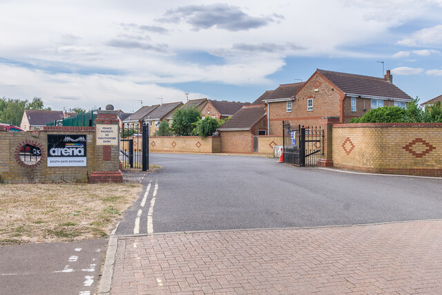
Related Wikis

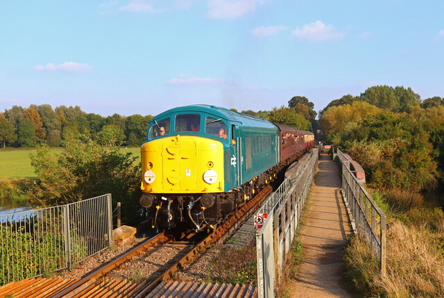
Ferry Meadows railway station

Ferry Meadows is a station on the Nene Valley Railway between Wansford and Orton Mere. The current station has one platform, and has no car park of its...

Greatest Hits Radio South

Greatest Hits Radio South is a regional radio station serving the South of England, as part of Bauer’s Greatest Hits Radio network. == Coverage == The...

Nene Park, Peterborough

Nene Park is a country park in the city of Peterborough, Cambridgeshire in the United Kingdom. Opened in 1978, it occupies a site approximately three and...

East of England Showground

The East of England Showground is a large showground area (667,731sqm) located on East of England Way near Peterborough, Cambridgeshire, England. The Showground...

Alwalton

Alwalton is a village and civil parish in Cambridgeshire, England. Alwalton lies approximately 5 miles (8 km) west of Peterborough city centre. Alwalton...

Orton, Peterborough

Orton is a suburb of the City of Peterborough, in Cambridgeshire, England, about 3 miles (4.8 km) south west of Peterborough city centre to the south of...

Orton Community Sixth Form

Orton Community Sixth Form is a consortium sixth form for Bushfield Community College and Orton Longueville School. == See also == List of schools in Peterborough...

Nene Valley Railway

The Nene Valley Railway (NVR) is a preserved railway in Cambridgeshire, England, running between Peterborough Nene Valley and Yarwell Junction. The line...

Related Videos

Nearby Amenities

Located within 500m of 52.557451,-0.31238848
Crossing
Bicycle: yes
Crossing: unmarked
Crossing Island: yes
Kerb: lowered
Source: Bing
Tactile Paving: yes
Lat/Long: 52.5547769/-0.3131691
Crossing
Bicycle: yes
Crossing: unmarked
Kerb: lowered
Source: Bing
Lat/Long: 52.5563046/-0.3181094
Turning Circle
Lat/Long: 52.5566718/-0.3133839
Turning Circle
Lat/Long: 52.5572403/-0.3151958
Orton Wistow
Is In: Peterborough
Place: suburb
Lat/Long: 52.5564859/-0.3125483
Crossing
Bicycle: yes
Crossing Island: yes
Kerb: lowered
Source: Bing
Lat/Long: 52.5556256/-0.3166546
Crossing
Bicycle: yes
Crossing: unmarked
Crossing Island: yes
Kerb: lowered
Source: Bing
Tactile Paving: yes
Lat/Long: 52.5581299/-0.3125705
Crossing
Crossing: unmarked
Supervised: no
Lat/Long: 52.557303/-0.3085654
Post Box
Collection Times: Mo-Fr 09:00; Sa 07:00
Post Box Mounting: pier
Post Box Type: lamp
Ref: PE2 351D
Royal Cypher: EIIR
Royal Cypher Wikidata: Q33102113
Lat/Long: 52.5582933/-0.3134697
Crossing
Crossing: unmarked
Kerb: lowered
Source: Bing
Lat/Long: 52.5540185/-0.3104307
Crossing
Bicycle: yes
Crossing: unmarked
Kerb: lowered
Source: Bing
Lat/Long: 52.5543436/-0.3115675
Crossing
Bicycle: yes
Crossing: unmarked
Kerb: lowered
Source: Bing
Lat/Long: 52.5542226/-0.3108824
Post Box
Ref: PE2 329
Lat/Long: 52.5543355/-0.3117219
Post Box
Ref: PE2 356
Lat/Long: 52.5552929/-0.3149141
Crossing
Bicycle: yes
Crossing: unmarked
Kerb: lowered
Source: Bing
Lat/Long: 52.5552359/-0.3145693
Crossing
Bicycle: yes
Crossing: unmarked
Kerb: lowered
Sloped Curb: yes
Lat/Long: 52.5609925/-0.3156027
Barrier: bollard
Lat/Long: 52.5610184/-0.3155447
Barrier: bollard
Lat/Long: 52.5609211/-0.3090448
Barrier: bollard
Lat/Long: 52.5609309/-0.3157136
Crossing
Bicycle: yes
Crossing: unmarked
Kerb: lowered
Source: Bing
Tactile Paving: no
Lat/Long: 52.554989/-0.3133341
Crossing
Bicycle: yes
Crossing: unmarked
Kerb: lowered
Source: Bing
Lat/Long: 52.5556053/-0.3161396
Bicycle Bypass: yes
Traffic Calming: choker
Lat/Long: 52.5570822/-0.3180015
Crossing
Bicycle: yes
Crossing: unmarked
Kerb: lowered
Source: Bing
Lat/Long: 52.557524/-0.3174567
Crossing
Crossing Island: yes
Kerb: lowered
Source: Bing
Lat/Long: 52.5581078/-0.3173455
Crossing
Bicycle: yes
Crossing: unmarked
Kerb: lowered
Source: Bing
Lat/Long: 52.5582595/-0.3169624
Crossing
Bicycle: yes
Crossing: unmarked
Kerb: lowered
Source: Bing
Lat/Long: 52.5572404/-0.3075098
Crossing
Bicycle: yes
Crossing: unmarked
Kerb: lowered
Source: Bing
Lat/Long: 52.5581266/-0.312129
Crossing
Bicycle: yes
Crossing: unmarked
Kerb: lowered
Source: Bing
Lat/Long: 52.5585918/-0.314183
Turning Circle
Lat/Long: 52.5592826/-0.315299
Crossing
Bicycle: yes
Crossing Island: yes
Kerb: lowered
Source: Bing
Lat/Long: 52.5588464/-0.315782
Crossing
Crossing: unmarked
Kerb: lowered
Source: Bing
Lat/Long: 52.5552243/-0.3149839
Crossing
Bicycle: yes
Crossing: unmarked
Kerb: lowered
Source: Bing
Lat/Long: 52.5533188/-0.3120673
Crossing
Bicycle: yes
Crossing: unmarked
Kerb: lowered
Source: Bing
Lat/Long: 52.5543115/-0.3119678
Crossing
Crossing: unmarked
Kerb: lowered
Source: Bing
Lat/Long: 52.5536898/-0.3093576
Addr Housenumber: 49
Addr Street: Fallowfield
Survey Date: 2017-08-02
Lat/Long: 52.5531831/-0.3118973
Addr Housenumber: 1
Addr Street: Fallowfield
Survey Date: 2017-08-02
Lat/Long: 52.5534673/-0.3117818
Addr Housenumber: 48
Addr Street: Fallowfield
Survey Date: 2017-08-02
Lat/Long: 52.553177/-0.3115769
Addr Housenumber: 2
Addr Street: Fallowfield
Survey Date: 2017-08-02
Lat/Long: 52.553452/-0.3116075
Addr Housenumber: 33
Addr Street: Fallowfield
Survey Date: 2017-08-02
Lat/Long: 52.5535056/-0.3111434
Waste Basket
Lat/Long: 52.5540313/-0.3103337
Bus Stop
Paulsgrove
Bench: yes
Bus: yes
Public Transport: platform
Shelter: yes
Lat/Long: 52.554015/-0.3102733
Entrance: main
Lat/Long: 52.5551694/-0.3137342
Bicycle Parking
Capacity: 6
Lat/Long: 52.5550764/-0.3137586
Waste Basket
Lat/Long: 52.5551/-0.3137586
Atm
Lat/Long: 52.5552321/-0.3137312
Waste Basket
Lat/Long: 52.5552354/-0.31378
Waste Basket
Lat/Long: 52.5552321/-0.3140228
Waste Basket
Lat/Long: 52.5552493/-0.3140188
Bicycle Parking
Type: wheel_benders
Lat/Long: 52.5552305/-0.3140483
Restaurant
Beijing Rendezvous
Addr City: Peterborough
Addr Housenumber: 59
Addr Postcode: PE2 6XN
Addr Street: Napier Place
Cuisine: chinese
Facebook: https://www.facebook.com/beijingrendezvous
Old Fhrs Id: 849113
Opening Hours: Mo 17:30-22:00; We 17:30-22:00; Th-Fr 12:00-14:00, 17:30-22:00; Sa 17:30-22:00; Su 12:00-20:00
Outdoor Seating: no
Payment American Express: yes
Phone: +44 1733 234450
Smoking: no
Takeaway: yes
Lat/Long: 52.5554202/-0.3138886
Fast Food
The Hot Box
Addr City: Peterborough
Addr Housenumber: 61
Addr Postcode: PE2 6XN
Addr Street: Napier Place
Cuisine: sandwich
Fhrs Id: 247251
Lat/Long: 52.5552949/-0.3138954
Foster's Barber Shop
Gender: male
Male: yes
Shop: hairdresser
Lat/Long: 52.5553438/-0.3138927
Pharmacy
Halls The Chemist
Addr City: Peterborough
Addr Postcode: PE2 6XN
Addr Street: Napier Place
Healthcare: pharmacy
Shop: chemist
Lat/Long: 52.5555697/-0.3138833
Veterinary
Clear Ridge Veterinary Surgery
Lat/Long: 52.5556243/-0.3138779
Waste Basket
Lat/Long: 52.5556598/-0.3139933
Bench
Lat/Long: 52.5556602/-0.3140127
Board Type: notice
Information: board
Tourism: information
Lat/Long: 52.5556727/-0.3140298
Waste Basket
Lat/Long: 52.5556553/-0.3141049
Bench
Lat/Long: 52.5556382/-0.314121
Bench
Lat/Long: 52.5556235/-0.3141465
Waste Basket
Lat/Long: 52.554814/-0.317077
Barrier: cycle_barrier
Lat/Long: 52.5548356/-0.3170291
Barrier: cycle_barrier
Lat/Long: 52.5546387/-0.3171628
Post Box
Collection Times: Mo-Fr 09:00; Sa 07:00
Post Box Mounting: pier
Post Box Type: lamp
Ref: PE2 328D
Royal Cypher: EIIR
Royal Cypher Wikidata: Q33102113
Lat/Long: 52.5572553/-0.3077331
Information: guidepost
Tourism: information
Lat/Long: 52.5609297/-0.3156633
Information: map
Map Size: site
Map Type: street
Tourism: information
Lat/Long: 52.56096/-0.3157267
Waste Basket
Waste: trash
Lat/Long: 52.5609311/-0.3157523
Wistow Newsagents
Addr City: Peterborough
Addr Housenumber: 58
Addr Postcode: PE2 6XN
Addr Street: Napier Place
Shop: newsagent
Lat/Long: 52.5555083/-0.3138884
Bus Stop
Napier Place
Bus: yes
Public Transport: platform
Lat/Long: 52.5552708/-0.315025
Bus Stop
Ashleigh
Bus: yes
Public Transport: platform
Lat/Long: 52.5574423/-0.3177044
Bus Stop
Five Arches
Bus: yes
Naptan AtcoCode: 0590POW155
Naptan NaptanCode: PETJAGT
Public Transport: platform
Lat/Long: 52.5581637/-0.3128453
Bus Stop
Glendale
Bus: yes
Naptan AtcoCode: 0590POW154
Naptan NaptanCode: PETJAJD
Public Transport: platform
Lat/Long: 52.5575016/-0.3100987
Street Lamp
Lat/Long: 52.5543149/-0.3173748
Street Lamp
Lat/Long: 52.5545946/-0.3172123
Access: no
Barrier: cycle_barrier
Bicycle: dismount
Foot: yes
Lat/Long: 52.5547085/-0.3171089
Napier Place
Bus: yes
Public Transport: stop_position
Lat/Long: 52.5552413/-0.3150517
Paulsgrove
Bus: yes
Public Transport: stop_position
Lat/Long: 52.5539782/-0.3103002
Ashleigh
Bus: yes
Public Transport: stop_position
Lat/Long: 52.5574563/-0.3177596
Five Arches
Bus: yes
Public Transport: stop_position
Lat/Long: 52.5581923/-0.3128264
Glendale
Bus: yes
Public Transport: stop_position
Lat/Long: 52.557538/-0.3100783
Crossing
Crossing: unmarked
Lat/Long: 52.5567168/-0.3182682
Street Lamp
Lat/Long: 52.55521/-0.3150731
Bus: yes
Public Transport: stop_position
Lat/Long: 52.5552604/-0.3151308
Bus Stop
Bus: yes
Public Transport: platform
Lat/Long: 52.5552275/-0.3151522
Lynch Farm Riding Ltd
Addr City: Peterborough
Addr Postcode: PE2 6XA
Addr Street: Wistow Way
Leisure: horse_riding
Website: https://lynchfarmriding.co.uk
Lat/Long: 52.5598214/-0.3165521
Bus Stop
Ferry View
Shelter: yes
Lat/Long: 52.5552048/-0.3060006
Street Lamp
Lat/Long: 52.5553221/-0.3168004
Turning Circle
Lat/Long: 52.5591117/-0.3146629
Turning Circle
Lat/Long: 52.5586724/-0.3130234
Turning Circle
Lat/Long: 52.5600104/-0.3146789
Turning Circle
Lat/Long: 52.5598534/-0.313769
Turning Circle
Lat/Long: 52.5597664/-0.3132247
Barrier: lift_gate
Lat/Long: 52.5536733/-0.3148636
Barrier: lift_gate
Lat/Long: 52.5537152/-0.3149319
Crossing
Lat/Long: 52.5537898/-0.314802
Generator Method: photovoltaic
Generator Output Electricity: yes
Generator Source: solar
Generator Type: solar_photovoltaic_panel
Power: generator
Lat/Long: 52.5539028/-0.3142968
Generator Method: photovoltaic
Generator Output Electricity: yes
Generator Source: solar
Generator Type: solar_photovoltaic_panel
Power: generator
Lat/Long: 52.55358/-0.3140961
Generator Method: photovoltaic
Generator Output Electricity: yes
Generator Source: solar
Generator Type: solar_photovoltaic_panel
Location: roof
Power: generator
Lat/Long: 52.5536954/-0.3117129
Generator Method: photovoltaic
Generator Output Electricity: yes
Generator Source: solar
Generator Type: solar_photovoltaic_panel
Location: roof
Power: generator
Lat/Long: 52.5539205/-0.3114018
Generator Method: photovoltaic
Generator Output Electricity: yes
Generator Source: solar
Generator Type: solar_photovoltaic_panel
Location: roof
Power: generator
Lat/Long: 52.55379/-0.3107312
Generator Method: photovoltaic
Generator Output Electricity: yes
Generator Source: solar
Generator Type: solar_photovoltaic_panel
Location: roof
Power: generator
Lat/Long: 52.5535747/-0.3097898
Generator Method: photovoltaic
Generator Output Electricity: yes
Generator Source: solar
Generator Type: solar_photovoltaic_panel
Location: roof
Power: generator
Lat/Long: 52.5534035/-0.3093982
Generator Method: photovoltaic
Generator Output Electricity: yes
Generator Source: solar
Generator Type: solar_photovoltaic_panel
Location: roof
Power: generator
Lat/Long: 52.5576744/-0.3197435
Generator Method: photovoltaic
Generator Output Electricity: yes
Generator Source: solar
Generator Type: solar_photovoltaic_panel
Location: roof
Power: generator
Lat/Long: 52.5578408/-0.3161922
Generator Method: photovoltaic
Generator Output Electricity: yes
Generator Source: solar
Generator Type: solar_photovoltaic_panel
Location: roof
Power: generator
Lat/Long: 52.5578114/-0.3161654
Generator Method: photovoltaic
Generator Output Electricity: yes
Generator Source: solar
Generator Type: solar_photovoltaic_panel
Location: roof
Power: generator
Lat/Long: 52.5578359/-0.3161144
Generator Method: photovoltaic
Generator Output Electricity: yes
Generator Source: solar
Generator Type: solar_photovoltaic_panel
Location: roof
Power: generator
Lat/Long: 52.5578082/-0.3161225
Generator Method: photovoltaic
Generator Output Electricity: yes
Generator Source: solar
Generator Type: solar_photovoltaic_panel
Location: roof
Power: generator
Lat/Long: 52.5579533/-0.3156611
Generator Method: photovoltaic
Generator Output Electricity: yes
Generator Source: solar
Generator Type: solar_photovoltaic_panel
Location: roof
Power: generator
Lat/Long: 52.5583186/-0.3147894
Generator Method: photovoltaic
Generator Output Electricity: yes
Generator Source: solar
Generator Type: solar_photovoltaic_panel
Location: roof
Power: generator
Lat/Long: 52.5577967/-0.3143898
Generator Method: photovoltaic
Generator Output Electricity: yes
Generator Source: solar
Generator Type: solar_photovoltaic_panel
Location: roof
Power: generator
Lat/Long: 52.5563503/-0.3106159
Generator Method: photovoltaic
Generator Output Electricity: yes
Generator Source: solar
Generator Type: solar_photovoltaic_panel
Location: roof
Power: generator
Lat/Long: 52.5563617/-0.3105301
Generator Method: photovoltaic
Generator Output Electricity: yes
Generator Source: solar
Generator Type: solar_photovoltaic_panel
Location: roof
Power: generator
Lat/Long: 52.5567678/-0.3082877
Generator Method: photovoltaic
Generator Output Electricity: yes
Generator Source: solar
Generator Type: solar_photovoltaic_panel
Location: roof
Power: generator
Lat/Long: 52.5564759/-0.3087357
Generator Method: photovoltaic
Generator Output Electricity: yes
Generator Source: solar
Generator Type: solar_photovoltaic_panel
Location: roof
Power: generator
Lat/Long: 52.5566944/-0.3087893
Generator Method: photovoltaic
Generator Output Electricity: yes
Generator Source: solar
Generator Type: solar_photovoltaic_panel
Location: roof
Power: generator
Lat/Long: 52.5569308/-0.309374
Generator Method: photovoltaic
Generator Output Electricity: yes
Generator Source: solar
Generator Type: solar_photovoltaic_panel
Location: roof
Power: generator
Lat/Long: 52.5581653/-0.3113562
Generator Method: photovoltaic
Generator Output Electricity: yes
Generator Source: solar
Generator Type: solar_photovoltaic_panel
Location: roof
Power: generator
Lat/Long: 52.5588648/-0.3107581
Generator Method: photovoltaic
Generator Output Electricity: yes
Generator Source: solar
Generator Type: solar_photovoltaic_panel
Location: roof
Power: generator
Lat/Long: 52.5590475/-0.3105408
Generator Method: photovoltaic
Generator Output Electricity: yes
Generator Source: solar
Generator Type: solar_photovoltaic_panel
Location: roof
Power: generator
Lat/Long: 52.5578995/-0.309535
Generator Method: photovoltaic
Generator Output Electricity: yes
Generator Source: solar
Generator Type: solar_photovoltaic_panel
Location: roof
Power: generator
Lat/Long: 52.5579386/-0.3095725
Generator Method: photovoltaic
Generator Output Electricity: yes
Generator Source: solar
Generator Type: solar_photovoltaic_panel
Location: roof
Power: generator
Lat/Long: 52.5579044/-0.3096074
Generator Method: photovoltaic
Generator Output Electricity: yes
Generator Source: solar
Generator Type: solar_photovoltaic_panel
Location: roof
Power: generator
Lat/Long: 52.5579941/-0.307577
Generator Method: photovoltaic
Generator Output Electricity: yes
Generator Source: solar
Generator Type: solar_photovoltaic_panel
Location: roof
Power: generator
Lat/Long: 52.558056/-0.3077781
Generator Method: photovoltaic
Generator Output Electricity: yes
Generator Source: solar
Generator Type: solar_photovoltaic_panel
Location: roof
Power: generator
Lat/Long: 52.5577739/-0.3065604
Generator Method: photovoltaic
Generator Output Electricity: yes
Generator Source: solar
Generator Type: solar_photovoltaic_panel
Location: roof
Power: generator
Lat/Long: 52.5586463/-0.3072605
Generator Method: photovoltaic
Generator Output Electricity: yes
Generator Source: solar
Generator Type: solar_photovoltaic_panel
Location: roof
Power: generator
Lat/Long: 52.5557502/-0.3074884
Generator Method: photovoltaic
Generator Output Electricity: yes
Generator Source: solar
Generator Type: solar_photovoltaic_panel
Location: roof
Power: generator
Lat/Long: 52.5556948/-0.3055868
Generator Method: photovoltaic
Generator Output Electricity: yes
Generator Source: solar
Generator Type: solar_photovoltaic_panel
Location: roof
Power: generator
Lat/Long: 52.5541259/-0.3081402
Generator Method: photovoltaic
Generator Output Electricity: yes
Generator Source: solar
Generator Type: solar_photovoltaic_panel
Location: roof
Power: generator
Lat/Long: 52.5547065/-0.3082207
Generator Method: photovoltaic
Generator Output Electricity: yes
Generator Source: solar
Generator Type: solar_photovoltaic_panel
Location: roof
Power: generator
Lat/Long: 52.5552854/-0.308615
Generator Method: photovoltaic
Generator Output Electricity: yes
Generator Source: solar
Generator Type: solar_photovoltaic_panel
Location: roof
Power: generator
Lat/Long: 52.5553523/-0.3084862
Generator Method: photovoltaic
Generator Output Electricity: yes
Generator Source: solar
Generator Type: solar_photovoltaic_panel
Location: roof
Power: generator
Lat/Long: 52.5546364/-0.3100526
Generator Method: photovoltaic
Generator Output Electricity: yes
Generator Source: solar
Generator Type: solar_photovoltaic_panel
Location: roof
Power: generator
Lat/Long: 52.5546364/-0.310117
Generator Method: photovoltaic
Generator Output Electricity: yes
Generator Source: solar
Generator Type: solar_photovoltaic_panel
Location: roof
Power: generator
Lat/Long: 52.5549283/-0.3111175
Generator Method: photovoltaic
Generator Output Electricity: yes
Generator Source: solar
Generator Type: solar_photovoltaic_panel
Location: roof
Power: generator
Lat/Long: 52.5552137/-0.3110209
Generator Method: photovoltaic
Generator Output Electricity: yes
Generator Source: solar
Generator Type: solar_photovoltaic_panel
Location: roof
Power: generator
Lat/Long: 52.5552332/-0.3100768
Fixme: check connection
Lat/Long: 52.5594934/-0.3104711
Fixme: check connection
Lat/Long: 52.5596606/-0.3114259
Turning Circle
Lat/Long: 52.5596875/-0.3123097
Turning Circle
Lat/Long: 52.5589341/-0.3133611
Fixme: check connection
Lat/Long: 52.559407/-0.3095792
Fixme: check connection
Lat/Long: 52.5593524/-0.3089556
The data included in this document is from www.openstreetmap.org. The data is made available under ODbL.

Have you been to Long Belt?

Leave your review of Long Belt below (or comments, questions and feedback).