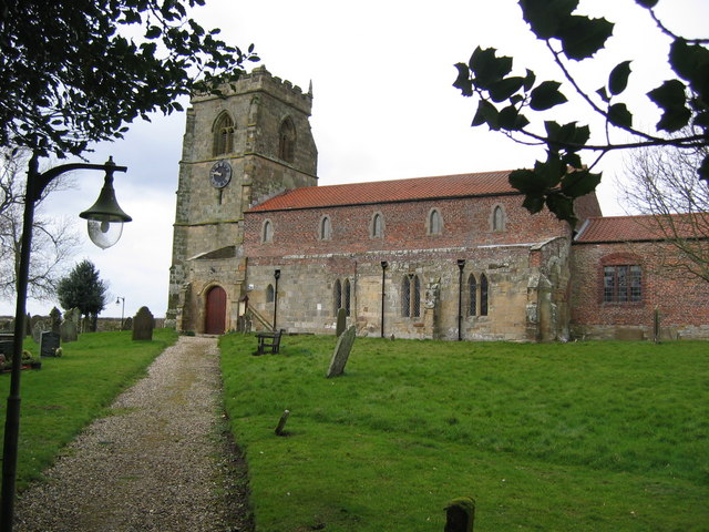
Dicky Wood
Wood, Forest in Yorkshire
England
Dicky Wood

Dicky Wood is a picturesque forest located in the region of Yorkshire, England. Situated amidst the stunning landscape of the Yorkshire Dales, this woodland area spans approximately 500 acres and is a popular destination for nature enthusiasts and hikers alike.
The forest is known for its diverse ecosystem, with a variety of tree species including oak, beech, and birch. The lush greenery provides a natural habitat for a wide range of wildlife, including deer, foxes, and various bird species. The tranquil atmosphere of Dicky Wood offers visitors a peaceful retreat from the hustle and bustle of city life.
The forest is crisscrossed with numerous walking trails, allowing visitors to explore its beauty at their own pace. The well-maintained paths wind through the dense woodland, leading to hidden groves and scenic viewpoints. Along the way, hikers can enjoy the soothing sound of birdsong and the fresh scent of pine.
For those seeking a more adventurous experience, Dicky Wood offers opportunities for camping and picnicking. Several designated camping areas are available, allowing visitors to spend the night under the starry sky and wake up to the sounds of nature. Picnic spots with benches and tables are scattered throughout the forest, providing a perfect setting for a leisurely lunch amidst the serenity of the woodlands.
Dicky Wood is easily accessible by car, with ample parking available nearby. Its location in the heart of Yorkshire makes it a convenient day trip destination for locals and tourists alike. Whether it's a peaceful stroll, a challenging hike, or a family picnic, Dicky Wood promises a memorable experience for all who visit.
If you have any feedback on the listing, please let us know in the comments section below.
Dicky Wood Images
Images are sourced within 2km of 54.096332/-0.25082946 or Grid Reference TA1468. Thanks to Geograph Open Source API. All images are credited.
Dicky Wood is located at Grid Ref: TA1468 (Lat: 54.096332, Lng: -0.25082946)
Division: East Riding
Unitary Authority: East Riding of Yorkshire
Police Authority: Humberside
What 3 Words
///community.funny.ownership. Near Boynton, East Yorkshire
Nearby Locations
Related Wikis
Boynton Hall
Boynton Hall is a country house in the village of Boynton near Bridlington, East Riding of Yorkshire, England. It is a Grade I listed building.Originally...
Boynton, East Riding of Yorkshire
Boynton is a village and civil parish in the East Riding of Yorkshire, England. It is situated approximately 3 miles (5 km) west of the town of Bridlington...
Bridlington Rural District
Bridlington was a rural district in the East Riding of Yorkshire in England from 1894 to 1974. It covered a coastal area, and surrounded the municipal...
Bridlington Hospital
Bridlington Hospital is a health facility in Bessingby Road, Bridlington, East Riding of Yorkshire, England. It is managed by York and Scarborough Teaching...
Avenue Hospital
Avenue Hospital was a health facility in Westgate, Bridlington, East Riding of Yorkshire, England. The remaining structure is a Grade II* listed building...
Carnaby, East Riding of Yorkshire
Carnaby is a small village and civil parish on the A614 road in the East Riding of Yorkshire, England. It is situated approximately 2 miles (3 km) south...
Bessingby
Bessingby is a village and former civil parish, now in the parish of Bridlington, in the East Riding of Yorkshire, England. It lies immediately south-east...
Bridlington School
Bridlington School is a secondary school and sixth form located on Bessingby Road (A165), in Bridlington in the East Riding of Yorkshire, England. ��2...
Nearby Amenities
Located within 500m of 54.096332,-0.25082946Have you been to Dicky Wood?
Leave your review of Dicky Wood below (or comments, questions and feedback).


