Arbrook Common
Wood, Forest in Surrey Elmbridge
England
Arbrook Common

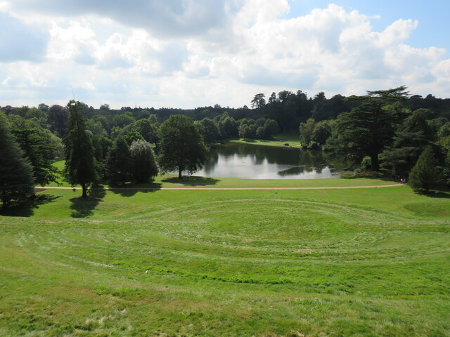
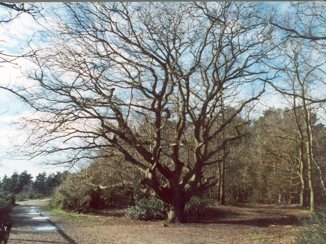
Arbrook Common is a picturesque wooded area located in Surrey, England. Spanning over an expansive 50 hectares, it is a designated Site of Special Scientific Interest (SSSI) due to its rich biodiversity and unique ecosystem.
The common is predominantly covered by ancient oak woodland, with a dense canopy of towering trees providing a sheltered habitat for a variety of flora and fauna. The woodland floor is adorned with a diverse array of wildflowers including bluebells, primroses, and wood anemones, creating a stunning display during the spring months. The area is also home to several rare and protected species, such as the dormouse and the lesser horseshoe bat.
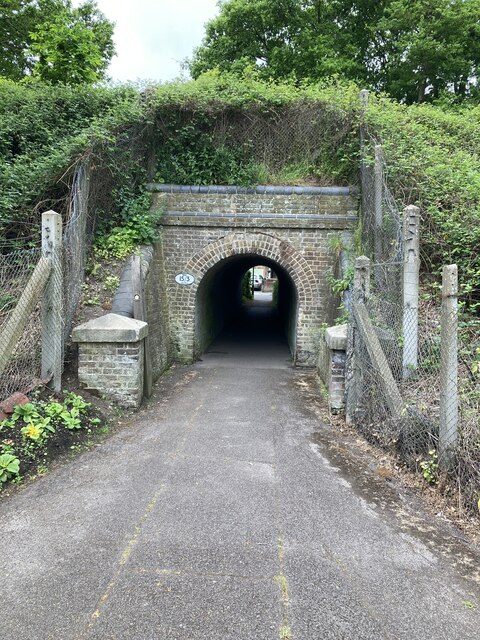
Arbrook Common is crisscrossed by a network of well-maintained footpaths, allowing visitors to explore its natural beauty at their own pace. These trails wind through the woodland, offering glimpses of tranquil ponds, babbling brooks, and small clearings where sunlight filters through the dense foliage.
The common is not only a paradise for nature enthusiasts but also a popular spot for outdoor activities such as walking, jogging, and birdwatching. It provides a peaceful retreat from the hustle and bustle of nearby urban areas, offering a sense of serenity and tranquility to anyone who visits.
Managed by the Surrey Wildlife Trust, Arbrook Common is a cherished natural resource that provides a haven for wildlife and a sanctuary for those seeking solace in nature. Its beauty and ecological importance make it a must-visit destination for anyone with an appreciation for the great outdoors.
If you have any feedback on the listing, please let us know in the comments section below.
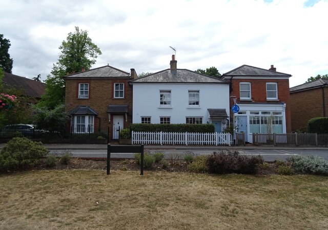
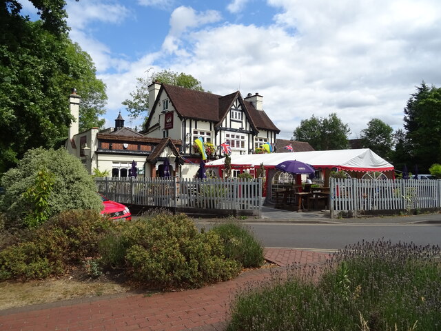
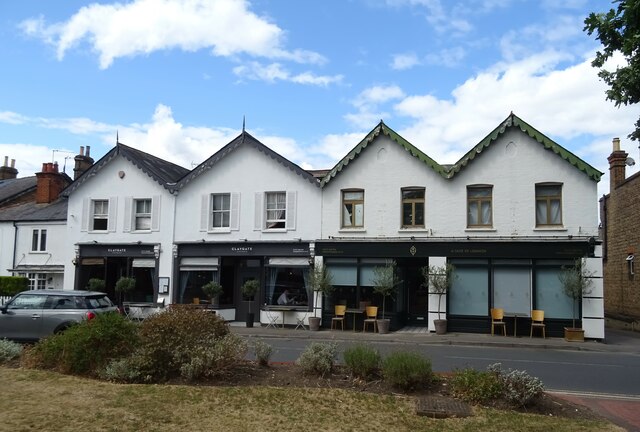
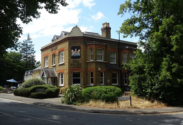
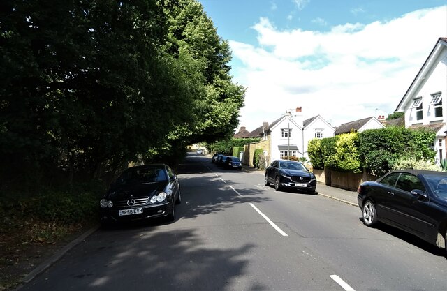
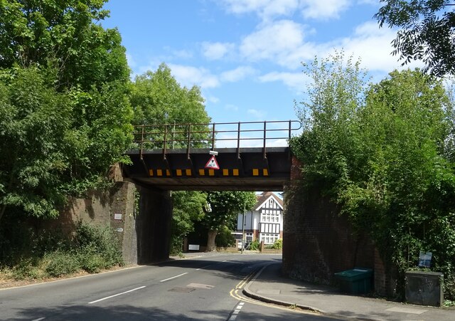
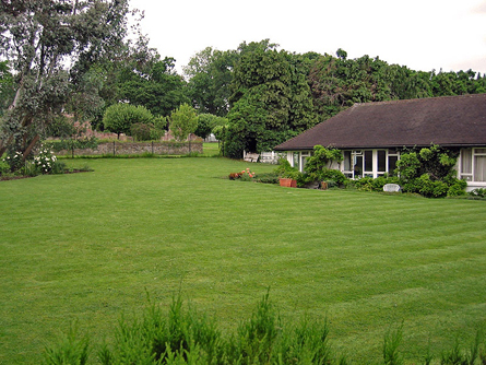
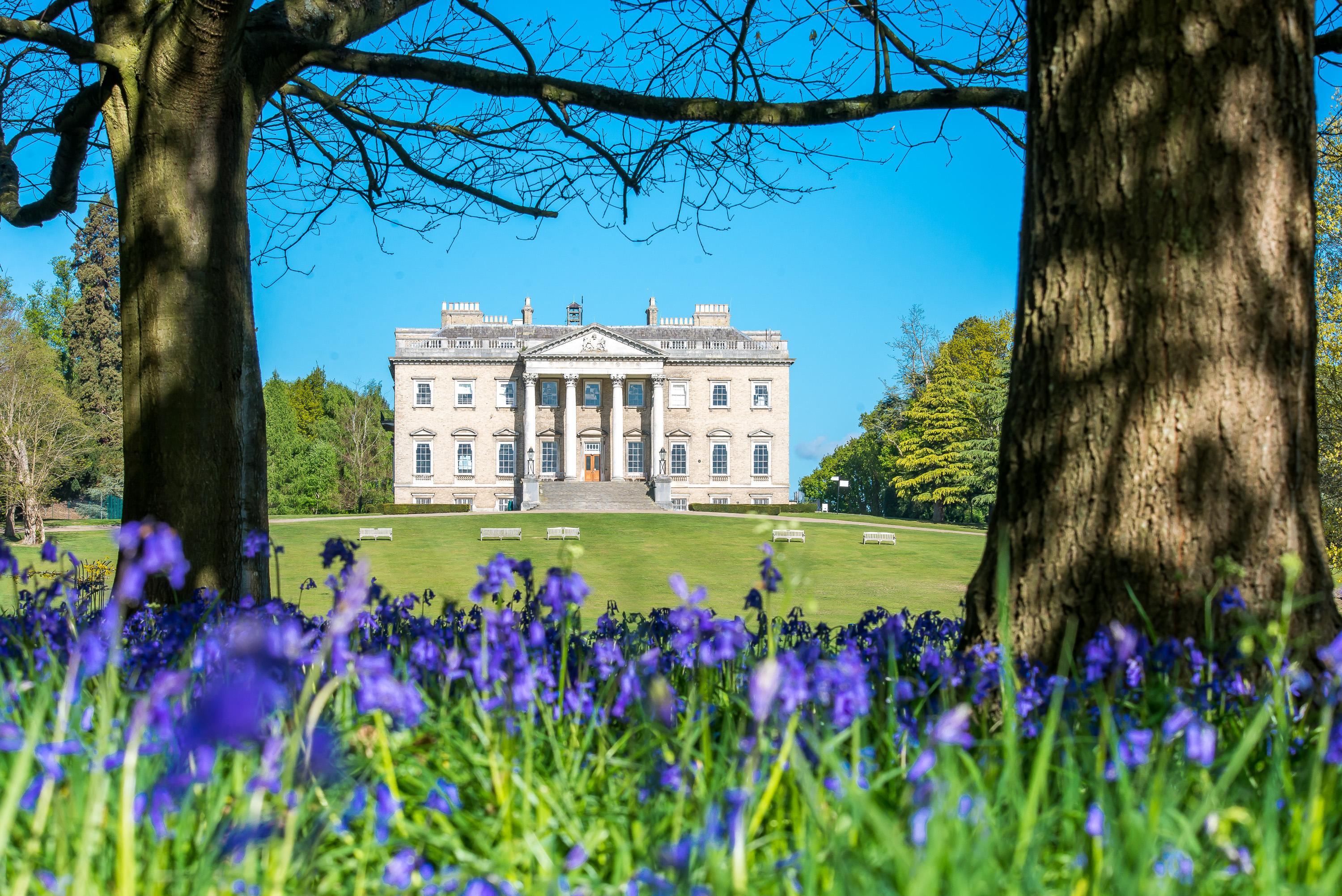
Arbrook Common Images
Images are sourced within 2km of 51.356107/-0.35864299 or Grid Reference TQ1463. Thanks to Geograph Open Source API. All images are credited.


Arbrook Common is located at Grid Ref: TQ1463 (Lat: 51.356107, Lng: -0.35864299)
Administrative County: Surrey
District: Elmbridge
Police Authority: Surrey
What 3 Words
///swung.supply.most. Near Esher, Surrey
Nearby Locations
Related Wikis
Kinfauns
Kinfauns was a large 1950s deluxe bungalow in Esher in the English county of Surrey, on the Claremont Estate. From 1964 to 1970, it was the home of George...
Claremont Fan Court School
Claremont Fan Court School is a co-educational independent school, for pupils from 2 to 18 years. Situated outside Esher, in Surrey, sixteen miles from...
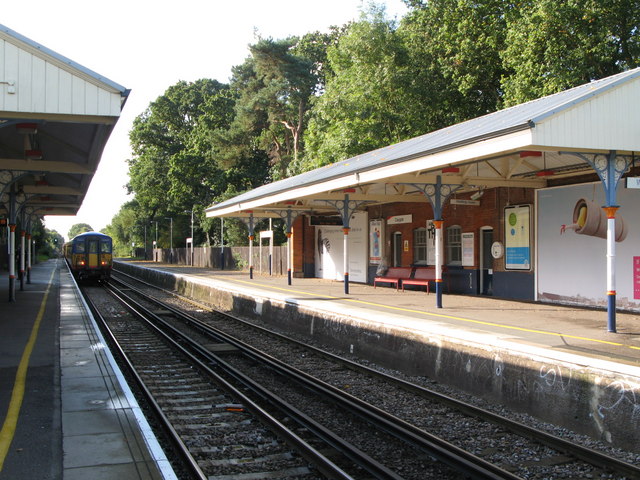
Claygate railway station
Claygate railway station serves the village of Claygate, in Surrey, England. It is on the New Guildford Line from London Waterloo to Guildford. The station...
Esher Commons
Esher Commons is a 360.1-hectare (890-acre) biological Site of Special Scientific Interest south-west of Esher in Surrey. It includes Esher Common, Fairmile...

Claremont (country house)
Claremont, also known historically as 'Clermont', is an 18th-century Palladian mansion less than a mile south of the centre of Esher in Surrey, England...

Esher and Walton (UK Parliament constituency)
Esher and Walton () is a constituency in Surrey represented in the House of Commons of the UK Parliament. Since 2010, it has been represented by Dominic...

Esher (UK Parliament constituency)
Esher was a borough constituency represented in the House of Commons of the Parliament of the United Kingdom. It elected one Member of Parliament (MP)...
Milbourne Lodge School
Milbourne Lodge School is a co-educational pre-prep and preparatory school for children aged four to thirteen. Located in Esher, Surrey, the school is...
Nearby Amenities
Located within 500m of 51.356107,-0.35864299Have you been to Arbrook Common?
Leave your review of Arbrook Common below (or comments, questions and feedback).