Steeping Wood

Wood, Forest in Northamptonshire

England

Steeping Wood

Werrington: East Coast Main Line, towards Peterborough ECML foreground, Stamford line far right.
Werrington: East Coast Main Line, towards Peterborough Credit: Guy Erwood

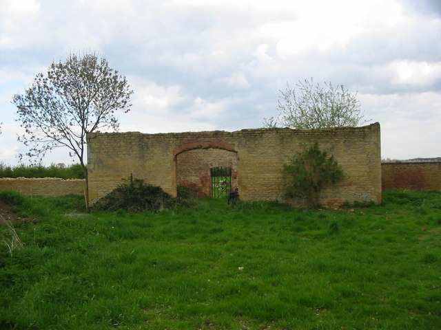
Steeping Wood is a picturesque forest located in the county of Northamptonshire, England. Covering an area of approximately 100 acres, the wood is known for its abundant natural beauty and diverse range of flora and fauna. It is situated near the village of Steeping, nestled amidst rolling hills and meandering streams, providing a serene and peaceful environment for visitors.

The wood is primarily composed of a variety of deciduous trees, including oak, beech, and ash, which create a vibrant and colorful canopy during the autumn months. The dense foliage provides a habitat for numerous species of wildlife, such as badgers, foxes, and a wide array of bird species, making it a popular destination for nature enthusiasts and birdwatchers.

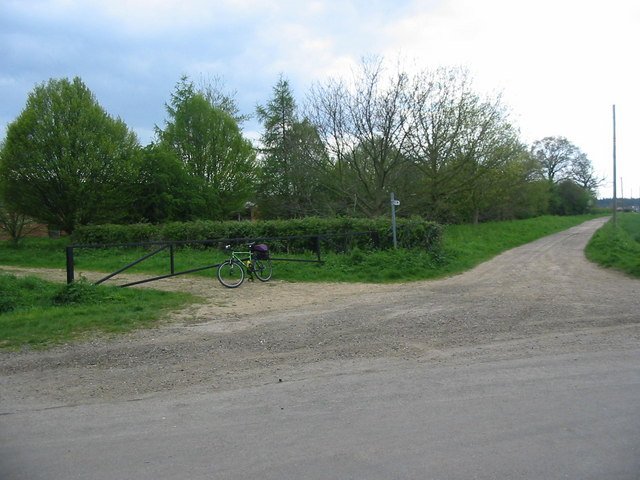
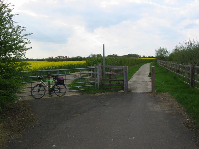
Steeping Wood offers several well-maintained walking trails, allowing visitors to explore the enchanting forest at their own pace. These trails wind through the wood, offering breathtaking views of the surrounding countryside and providing opportunities to spot wildlife in their natural habitat. The wood is also home to a small pond, adding to its charm and providing a tranquil spot for visitors to relax and enjoy the peaceful ambiance.

The wood is open to the public throughout the year, and there is no admission fee. However, visitors are encouraged to adhere to the guidelines set by the local authorities to preserve the natural environment and respect the wildlife. Steeping Wood is a hidden gem in Northamptonshire, offering a welcome escape from the hustle and bustle of daily life, and providing a sanctuary for both nature lovers and those seeking a sense of tranquility amidst nature.

If you have any feedback on the listing, please let us know in the comments section below.

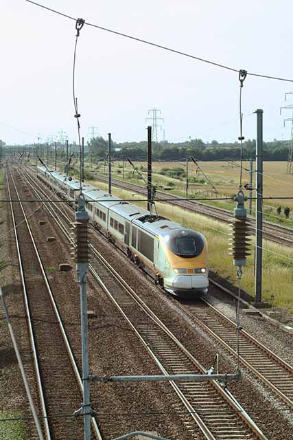
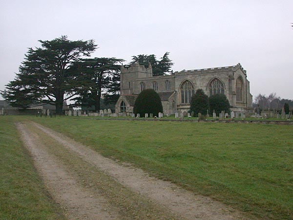
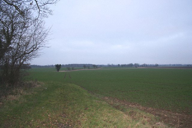
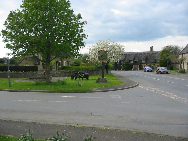
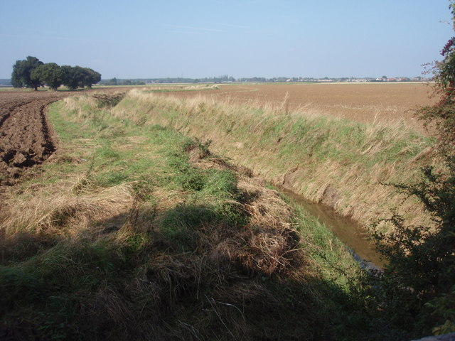
Steeping Wood Images

Images are sourced within 2km of 52.619515/-0.3124694 or Grid Reference TF1403. Thanks to Geograph Open Source API. All images are credited.

Werrington: East Coast Main Line, towards Peterborough ECML foreground, Stamford line far right.
Werrington: East Coast Main Line, towards Peterborough
ECML foreground, Stamford line far right.
Marholm church View of St Mary's Church, Marholm.
Marholm church
View of St Mary's Church, Marholm.
East Coast Main Line at Woodcroft Crossing and Footbridge Class 91019 heading north out of Peterborough on the East Coast Main Line. Picture taken from Woodcroft Crossing Footbridge. Track laying in progress.
East Coast Main Line at Woodcroft Crossing and Footbridge
Class 91019 heading north out of Peterborough on the East Coast Main Line. Picture taken from Woodcroft Crossing Footbridge. Track laying in progress.
View to Steeping Wood
Marholm Village Centre Marholm is a pretty little village just outside the city of Peterborough.  The view has the essentials of a typical village scene - the village green with its sign, war memorial and a pub in the distance.
Marholm Village Centre
Marholm is a pretty little village just outside the city of Peterborough. The view has the essentials of a typical village scene - the village green with its sign, war memorial and a pub in the distance.
Fortified or Farm Building This is the only building in this grid square.  Its purpose is not clear; it looks like a disused barn but closer inspection showed it to have slit windows similar to those found on castles.  Behind it appeared to be the remains of a walled garden.
Fortified or Farm Building
This is the only building in this grid square. Its purpose is not clear; it looks like a disused barn but closer inspection showed it to have slit windows similar to those found on castles. Behind it appeared to be the remains of a walled garden.
Junction of Track to Woodcroft Lodge The track to the right leads to Woodcroft Lodge (no public access).  On the left the track leads to some derelict farm buildings.  This quiet backroad lies just to the west of the city of Peterborough.
Junction of Track to Woodcroft Lodge
The track to the right leads to Woodcroft Lodge (no public access). On the left the track leads to some derelict farm buildings. This quiet backroad lies just to the west of the city of Peterborough.
Junction near Woodcroft Castle This junction is on a very quiet minor road to the west of Peterborough.  The blue signs indicate that it is now part of the network of designated cycles paths around the city.  Woodcroft Castle is a fine moated house just to the left of the picture in an adjacent grid square.
Junction near Woodcroft Castle
This junction is on a very quiet minor road to the west of Peterborough. The blue signs indicate that it is now part of the network of designated cycles paths around the city. Woodcroft Castle is a fine moated house just to the left of the picture in an adjacent grid square.
Glinton Bypass View of the A15 Glinton bypass north of Peterborough.  Photo taken from the footbridge over the road.
Glinton Bypass
View of the A15 Glinton bypass north of Peterborough. Photo taken from the footbridge over the road.
Peterborough Corporation Water Works Peterborough Corporation water works lies at the end of a long lane near the village of Glinton.  The main east coast railway line passes right by the works just to the left of the photo.
Peterborough Corporation Water Works
Peterborough Corporation water works lies at the end of a long lane near the village of Glinton. The main east coast railway line passes right by the works just to the left of the photo.
Track next to A15 near Glinton The busy A15 dual carriageway to the northwest of Peterborough is behind the hedge on the right.  This track follows the side of the road and joins up with a minor road leading to the industrial units seen in the distance.
Track next to A15 near Glinton
The busy A15 dual carriageway to the northwest of Peterborough is behind the hedge on the right. This track follows the side of the road and joins up with a minor road leading to the industrial units seen in the distance.
Peterborough Crematorium Peterborough crematorium near the village of Marholm.
Peterborough Crematorium
Peterborough crematorium near the village of Marholm.
Salisbury Road, Werrington
With the Delaine to Peterborough - south of Glinton The rural nature of the route changes as it reaches the outskirts of the expanding City of Peterborough. With the expansion of Peterborough, the old A15 has been realigned and dualled all the way to the centre of the City. The Delaine bus will make only 4 more intermediate stops and will arrive in just 10 minutes, making it an attractive alternative to using the car.
See grid square discussion <a title="https://www.geograph.org.uk/discuss/index.php?&action=vthread&forum=5&topic=7047" href="https://www.geograph.org.uk/discuss/index.php?&action=vthread&forum=5&topic=7047">Link</a> and slide show <a title="https://www.geograph.org.uk/search.php?i=2189430" href="https://www.geograph.org.uk/search.php?i=2189430">Link</a>
With the Delaine to Peterborough - south of Glinton
The rural nature of the route changes as it reaches the outskirts of the expanding City of Peterborough. With the expansion of Peterborough, the old A15 has been realigned and dualled all the way to the centre of the City. The Delaine bus will make only 4 more intermediate stops and will arrive in just 10 minutes, making it an attractive alternative to using the car. See grid square discussion Link and slide show Link
Pedestrian crossing This gap in the crash barriers on the busy A15 south of Glinton are necessary to allow bus passengers to cross to and from the adjacent bus stops. This road is still the direct way into Peterborough City Centre, although the other leg of the A15 which passes under the footbridge is now probably faster.
Pedestrian crossing
This gap in the crash barriers on the busy A15 south of Glinton are necessary to allow bus passengers to cross to and from the adjacent bus stops. This road is still the direct way into Peterborough City Centre, although the other leg of the A15 which passes under the footbridge is now probably faster.
Peter Brotherhood Works, Werrington Peter Brotherhood are now part of the US group Dresser Rand and their name is all over inside. The company has been here since 1994 but is an old established engineering company dating back to the 19th century. They built the UK's last reciprocating steam engine in the 1980s and are still very busy with steam turbines and reciprocating compressors. The facilities are modern and it is a fascinating works to visit.
Peter Brotherhood Works, Werrington
Peter Brotherhood are now part of the US group Dresser Rand and their name is all over inside. The company has been here since 1994 but is an old established engineering company dating back to the 19th century. They built the UK's last reciprocating steam engine in the 1980s and are still very busy with steam turbines and reciprocating compressors. The facilities are modern and it is a fascinating works to visit.
Monument to Peter Brotherhood Ltd Removed from the previous works and located outside the entrance to the new works. The three-legged object is a representation of the 3 cylinder radial engine that was patented by Peter Brotherhood and later adapted to power the Whitehead "automobile" torpedo.
Monument to Peter Brotherhood Ltd
Removed from the previous works and located outside the entrance to the new works. The three-legged object is a representation of the 3 cylinder radial engine that was patented by Peter Brotherhood and later adapted to power the Whitehead "automobile" torpedo.
Howe Drain Howe Drain viewed from Woodcroft Road bridge, just south of Woodcroft level crossing.
Howe Drain
Howe Drain viewed from Woodcroft Road bridge, just south of Woodcroft level crossing.
Show me another place!

Steeping Wood is located at Grid Ref: TF1403 (Lat: 52.619515, Lng: -0.3124694)

Division: Soke of Peterborough

Unitary Authority: Peterborough

Police Authority: Cambridgeshire

What 3 Words

///tilt.ready.soil. Near Marholm, Cambridgeshire

Nearby Locations

Steeping Wood

Related Wikis

Woodcroft Castle

Woodcroft Castle is a moated medieval castle in the parish of Etton, Cambridgeshire, England. == History == Woodcroft Castle was built at the end of the...

Werrington Dive Under

Werrington Dive Under (also known as the Werrington Grade Separation) is a replacement dual track grade separated railway junction at Werrington Junction...

Arthur Mellows Village College

Arthur Mellows Village College is a secondary school in Glinton in the local authority of Peterborough. The college is an academy with a specialism in...

Helpston railway station

Helpston railway station was a station in Helpston, Cambridgeshire, on the Midland Railway's Syston and Peterborough Railway. It was closed in 1966. The...

Werrington, Peterborough

Werrington is a residential area of the city of Peterborough, in the ceremonial county of Cambridgeshire, England. For electoral purposes it comprises...

Marholm

Marholm is a village and civil parish in the Peterborough district, in the ceremonial county of Cambridgeshire, England. West of Peterborough and 1 mile...

Ken Stimpson Academy

Ken Stimpson Academy is a co-educational secondary school and sixth form located in Peterborough in the English county of Cambridgeshire. The school is...

Glinton, Cambridgeshire

Glinton is a village in the north of the City of Peterborough unitary authority area in Cambridgeshire, England. Historically in Northamptonshire, it has...

Nearby Amenities

Located within 500m of 52.619515,-0.3124694
Power: tower
Source: Bing
Lat/Long: 52.6229397/-0.3146125
Power: tower
Source: Bing
Lat/Long: 52.6225261/-0.3102513
Colour: red and white
Marker: aerial
Utility: gas
Lat/Long: 52.6213118/-0.3169431
The data included in this document is from www.openstreetmap.org. The data is made available under ODbL.

Have you been to Steeping Wood?

Leave your review of Steeping Wood below (or comments, questions and feedback).