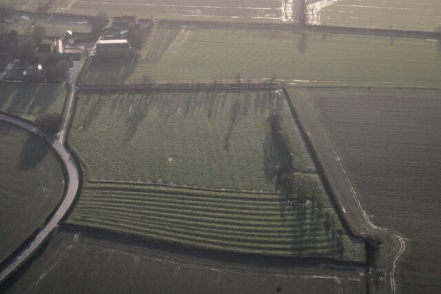
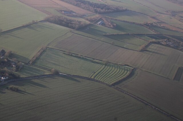
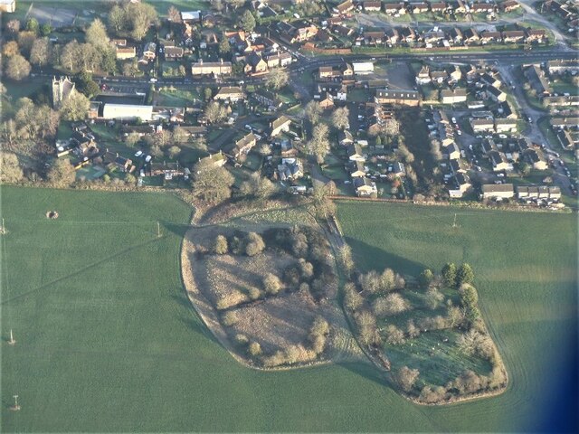
Brickyard Plantation
Wood, Forest in Lincolnshire East Lindsey
England
Brickyard Plantation
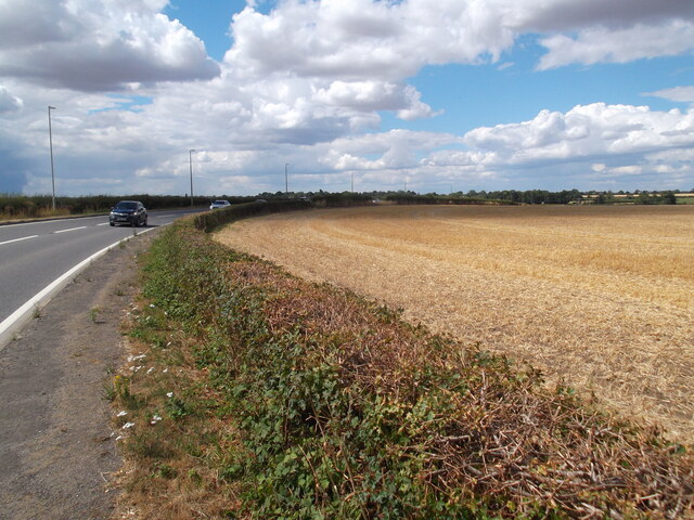
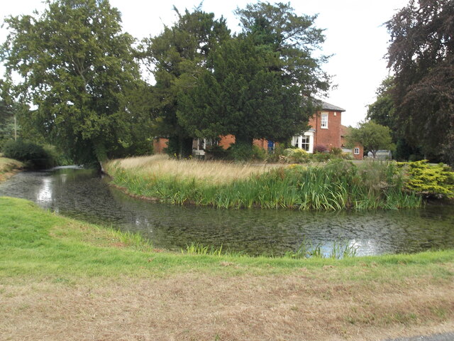
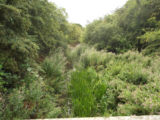
Brickyard Plantation, located in Lincolnshire, is a beautiful woodland area known for its dense forest and abundant wildlife. Spanning over several acres, this plantation serves as a natural haven for both local flora and fauna.
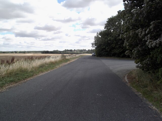
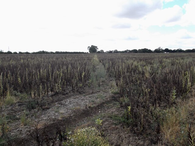
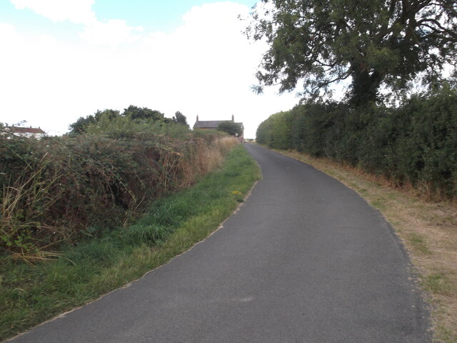
The woodland at Brickyard Plantation is characterized by its towering trees, predominantly oak and beech, which provide a lush canopy that stretches as far as the eye can see. The forest floor is covered in a dense carpet of mosses, ferns, and wildflowers, creating a vibrant and diverse ecosystem.
The plantation is home to a wide variety of wildlife, making it a popular spot for nature enthusiasts and bird watchers. Visitors can expect to see a range of bird species, including woodpeckers, owls, and jays, as well as mammals such as deer, foxes, and rabbits. The presence of these creatures adds to the charm and tranquility of the woodland.
Walking trails wind through the plantation, offering visitors the opportunity to explore the area at their own pace. These trails provide access to the heart of the forest, where visitors can immerse themselves in the peaceful ambiance and enjoy the sights and sounds of nature.
Brickyard Plantation is not only a haven for wildlife but also plays an important role in maintaining the local ecosystem. The woodland acts as a natural filter, helping to improve air quality by absorbing carbon dioxide and releasing oxygen.
Overall, Brickyard Plantation in Lincolnshire is a scenic woodland area that offers a unique opportunity to connect with nature. Whether it's for a leisurely walk, bird watching, or simply enjoying the tranquility of the forest, visitors are sure to find solace in this natural gem.
If you have any feedback on the listing, please let us know in the comments section below.
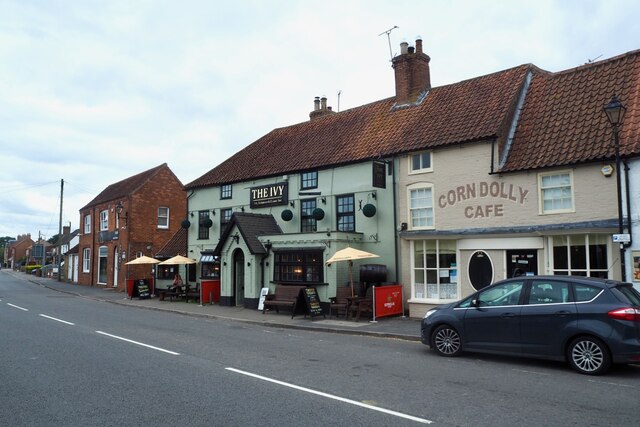
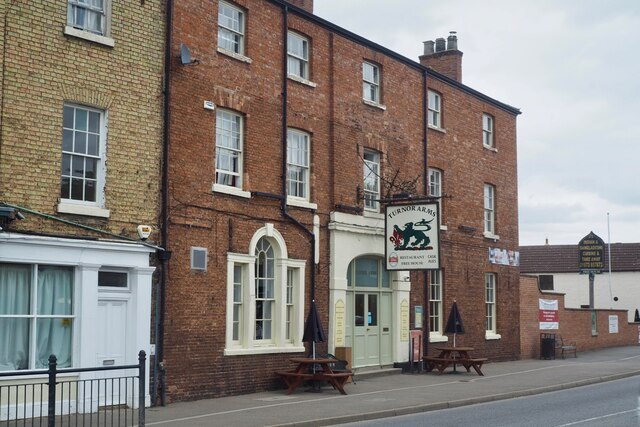
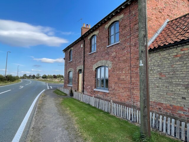
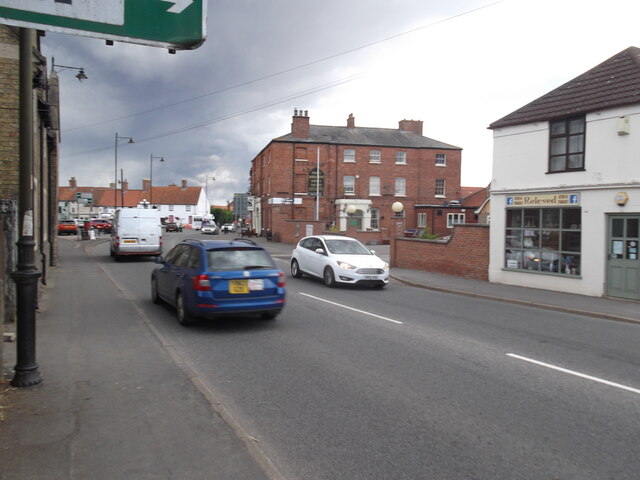
Brickyard Plantation Images
Images are sourced within 2km of 53.284492/-0.28786834 or Grid Reference TF1477. Thanks to Geograph Open Source API. All images are credited.


Brickyard Plantation is located at Grid Ref: TF1477 (Lat: 53.284492, Lng: -0.28786834)
Administrative County: Lincolnshire
District: East Lindsey
Police Authority: Lincolnshire
What 3 Words
///wand.leathers.unwell. Near Wragby, Lincolnshire
Nearby Locations
Related Wikis

Wragby railway station
Wragby railway station was a railway station that served the town of Wragby, Lincolnshire, England between 1874 and 1960, on the Louth to Bardney line...

Langton by Wragby
Langton by Wragby is a small village and civil parish in the East Lindsey district of Lincolnshire, England. It lies approximately 1 mile (1.6 km) south...

Wragby
Wragby ( RAG-bee) is a town and civil parish in the East Lindsey district of Lincolnshire, England. It is situated at the junction of the A157 and A158...

Goltho
Goltho is a hamlet in the West Lindsey district of Lincolnshire, England. The population (including Bullington) was 157 at the 2011 census. It is situated...

St George's Church, Goltho
St George's Church is a redundant Anglican church in the deserted village of Goltho, Lincolnshire, England. It is recorded in the National Heritage List...

Kingthorpe
Kingthorpe is a hamlet in the West Lindsey district of Lincolnshire, England. The hamlet is in the civil parish of Apley, and is 10 miles (16 km) east...
Kingthorpe railway station
Kingthorpe railway station was a railway station that served the village of Kingthorpe, Lincolnshire, England between 1874 and 1956, on the Louth to Bardney...

West Barkwith
West Barkwith is a village and civil parish in the East Lindsey district of Lincolnshire, England. It is situated on the A157 road and about 2.5 miles...
Nearby Amenities
Located within 500m of 53.284492,-0.28786834Have you been to Brickyard Plantation?
Leave your review of Brickyard Plantation below (or comments, questions and feedback).