Eastland Copse
Wood, Forest in Sussex Horsham
England
Eastland Copse
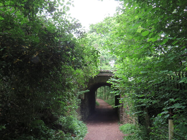
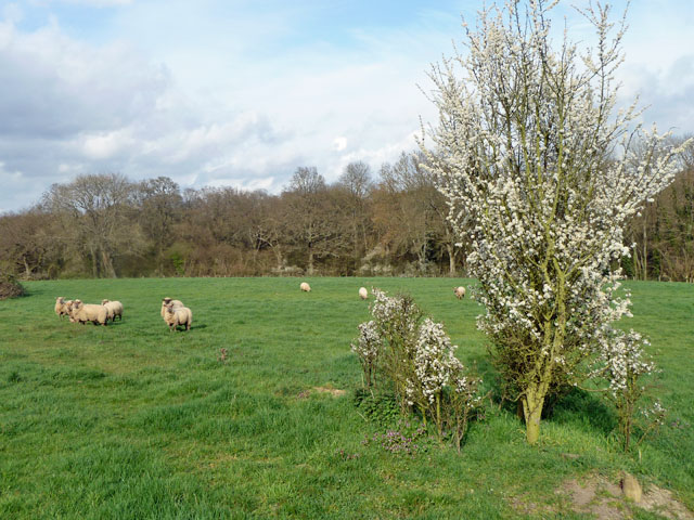
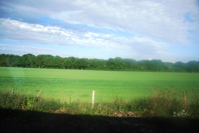
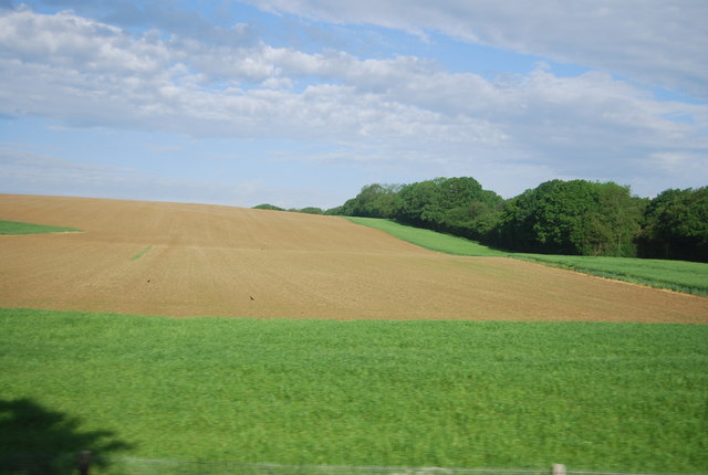
Eastland Copse is a picturesque woodland located in the county of Sussex, England. Situated on the outskirts of a small village, this woodland is known for its natural beauty and tranquil atmosphere. Covering an area of approximately 50 acres, it offers a diverse range of flora and fauna, making it a popular destination for nature enthusiasts and hikers alike.
The copse is predominantly made up of broadleaf trees, including oak, beech, and ash, which create a dense canopy overhead, providing shade and shelter for the woodland floor below. The forest floor is carpeted with a rich variety of wildflowers, such as bluebells, primroses, and wood anemones, which bloom in vibrant colors during the spring months.
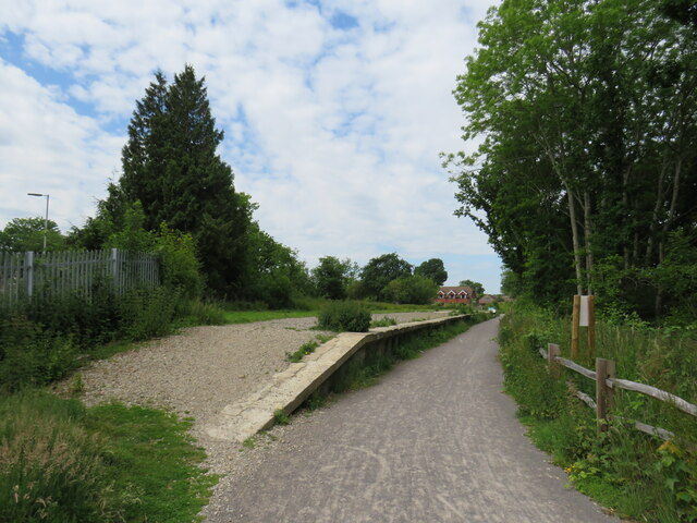
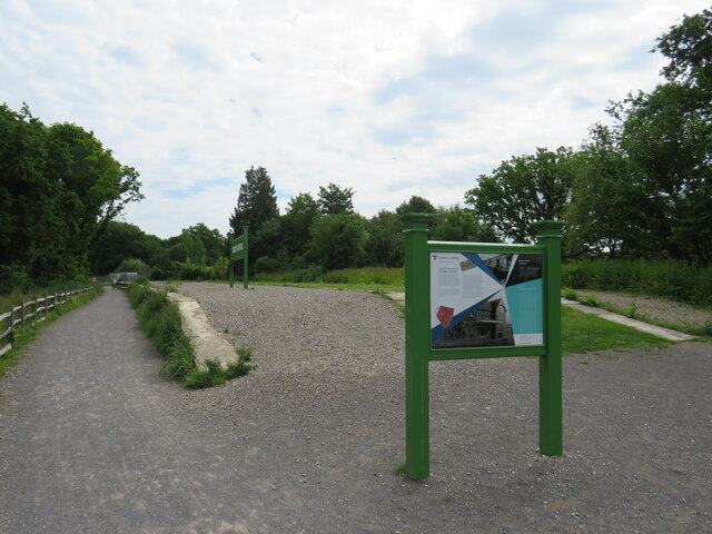
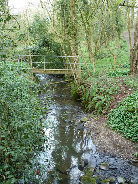
There are several well-maintained footpaths that meander through the copse, allowing visitors to explore its hidden corners and discover its natural treasures. These paths lead to a small stream that flows through the woodland, adding to its charm and providing a habitat for various species of wildlife, including birds, butterflies, and small mammals.
Eastland Copse is also home to a variety of bird species, including woodpeckers, thrushes, and finches, making it a popular spot for birdwatching. The copse is a designated Site of Special Scientific Interest (SSSI), recognizing its importance in preserving and protecting the local biodiversity.
Overall, Eastland Copse offers a tranquil escape from the hustle and bustle of everyday life, providing visitors with an opportunity to connect with nature and appreciate the beauty of Sussex's woodlands.
If you have any feedback on the listing, please let us know in the comments section below.
Eastland Copse Images
Images are sourced within 2km of 51.041828/-0.37268403 or Grid Reference TQ1428. Thanks to Geograph Open Source API. All images are credited.


Eastland Copse is located at Grid Ref: TQ1428 (Lat: 51.041828, Lng: -0.37268403)
Administrative County: West Sussex
District: Horsham
Police Authority: Sussex
What 3 Words
///transit.rust.giant. Near Southwater, West Sussex
Nearby Locations
Related Wikis

Downs Link
The Downs Link is a 36.7 miles (59.1 km) footpath and bridleway linking the North Downs Way at St. Martha's Hill in Surrey with the South Downs Way near...

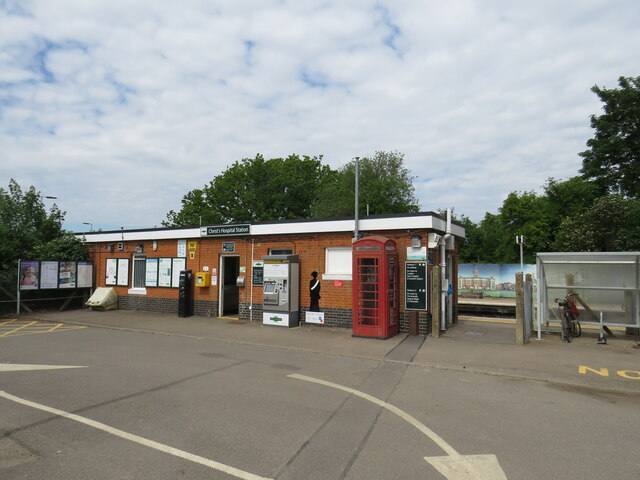
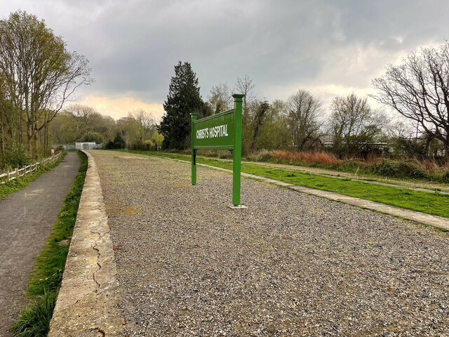
Christ's Hospital
Christ's Hospital is a public school (English fee-charging boarding school for pupils aged 11–18) with a royal charter located to the south of Horsham...
Itchingfield
Itchingfield is a small village and civil parish in the Horsham district of West Sussex, England. It lies on the Barns Green to Broadbridge Heath road...
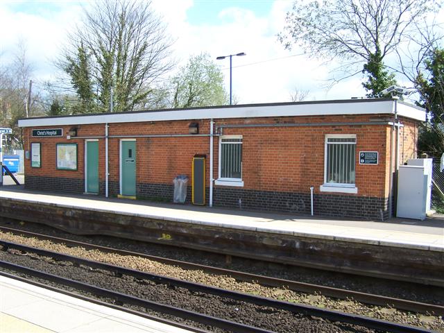
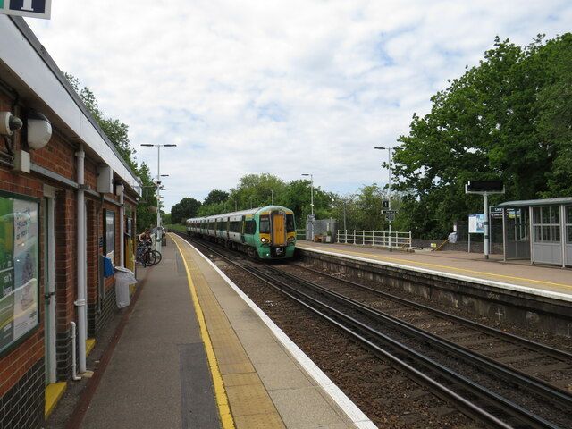
Christ's Hospital railway station
Christ's Hospital railway station is near Horsham in West Sussex, England. It is 40 miles 7 chains (64.5 km) down the line from London Bridge via Redhill...

Barns Green
Barns Green is a village in the Horsham district of West Sussex, England. It lies on the Billingshurst to Itchingfield road 2+1⁄2 miles (4.0 km) north...

Holy Innocents Church, Southwater
Holy Innocents Church is the Anglican parish church of Southwater, a village in the Horsham District of West Sussex, England. Built in 1849, the church...
Haywards Heath Town F.C. Women
Haywards Heath Town F.C. Women (formerly Crawley Wasps Ladies FC) is an English women's football club, that currently plays in the FA Women's National...
Copthorne F.C.
Copthorne Football Club is a football club based in Copthorne in West Sussex, England. They are currently members of the Southern Combination Division...
Nearby Amenities
Located within 500m of 51.041828,-0.37268403Have you been to Eastland Copse?
Leave your review of Eastland Copse below (or comments, questions and feedback).