Barnsfield Plantation
Wood, Forest in Lincolnshire West Lindsey
England
Barnsfield Plantation
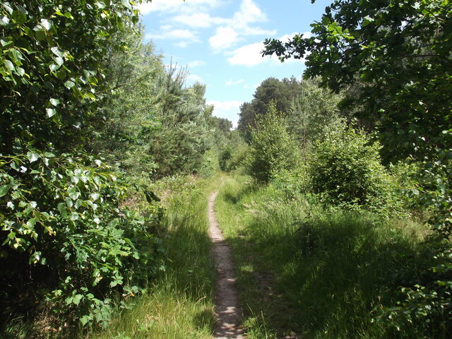
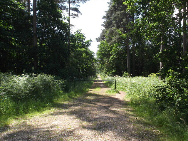
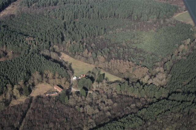
Barnsfield Plantation, located in Lincolnshire, England, is a picturesque wooded area renowned for its natural beauty and thriving biodiversity. The plantation covers a vast expanse of land, predominantly composed of lush green forests and dense woodlands. It serves as a haven for various species of flora and fauna, making it a popular destination for nature enthusiasts and researchers alike.
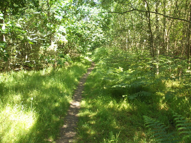
The woodland within Barnsfield Plantation is characterized by its rich diversity of tree species, including oak, beech, birch, and pine. This varied mix provides a delightful tapestry of colors throughout the year, with vibrant autumnal hues and lush green foliage in the summer months. The forest floor is carpeted with a diverse range of wildflowers, ferns, and mosses, adding to the enchanting atmosphere of the area.
The plantation is home to a wide array of wildlife, with numerous species of birds, mammals, and insects calling it their habitat. Visitors can spot songbirds, woodpeckers, and owls perched on the branches, while elusive creatures such as deer and foxes may be glimpsed darting through the undergrowth. The plantation is also known for its population of butterflies, with various species fluttering delicately amongst the flowers.
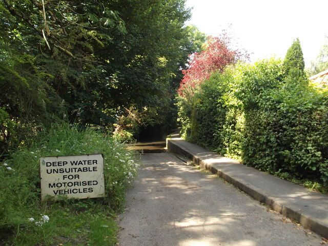
The plantation offers a tranquil retreat for those seeking solace in nature, with numerous walking trails and picnic areas available for visitors to enjoy. Its serene ambiance and stunning natural scenery make it a popular location for photography, painting, and other artistic pursuits.
Barnsfield Plantation, with its abundant flora and fauna, is a testament to the beauty and diversity of Lincolnshire's natural landscapes. It stands as a testament to the importance of conserving and appreciating the natural world around us.
If you have any feedback on the listing, please let us know in the comments section below.
Barnsfield Plantation Images
Images are sourced within 2km of 53.385538/-0.28541045 or Grid Reference TF1489. Thanks to Geograph Open Source API. All images are credited.


Barnsfield Plantation is located at Grid Ref: TF1489 (Lat: 53.385538, Lng: -0.28541045)
Administrative County: Lincolnshire
District: West Lindsey
Police Authority: Lincolnshire
What 3 Words
///additives.guarded.quit. Near Market Rasen, Lincolnshire
Nearby Locations
Related Wikis
Willingham House
Willingham House was a country house in North Willingham (near Market Rasen), Lincolnshire, England. It was built around 1790 for Ayscoghe Boucherett...

Market Rasen Racecourse
Market Rasen Racecourse is a National Hunt racecourse in the town of Market Rasen, in Lincolnshire, England. It is owned and operated by Jockey Club Racecourses...

Tealby
Tealby is a village and civil parish in the West Lindsey district of Lincolnshire, England, situated on the edge of the Lincolnshire Wolds and 3 miles...

North Willingham
North Willingham is a village and civil parish in the West Lindsey district of Lincolnshire, England. The population of the civil parish (including Sixhills...

De Aston School
De Aston School is a mixed secondary school with academy status in Market Rasen, Lincolnshire, England. It also has a sixth form but no longer has a boarding...
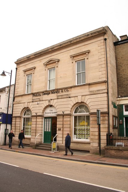
Corn Exchange, Market Rasen
The Corn Exchange is a commercial building in Queen Street, Market Rasen, Lincolnshire, England. The structure, which is used as the offices of a firm...
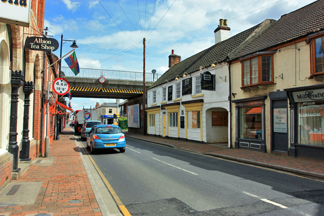
Market Rasen
Market Rasen ( RAY-zən) is a market town and civil parish within the West Lindsey district of Lincolnshire, England. The River Rase runs through it east...

Legsby
Legsby (otherwise Legesby) is a small village and civil parish in the West Lindsey district of Lincolnshire, England. The population of the civil parish...
Nearby Amenities
Located within 500m of 53.385538,-0.28541045Have you been to Barnsfield Plantation?
Leave your review of Barnsfield Plantation below (or comments, questions and feedback).