Brookwick Copse
Wood, Forest in Surrey Mole Valley
England
Brookwick Copse
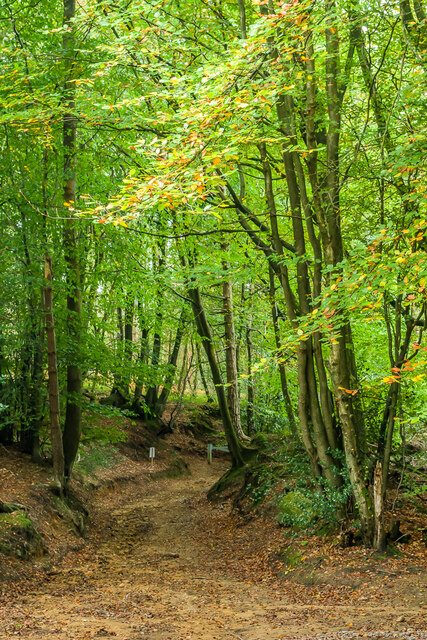
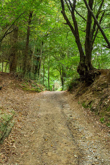
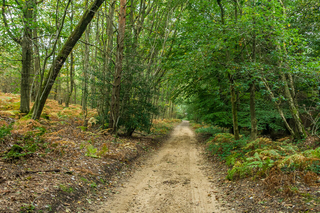
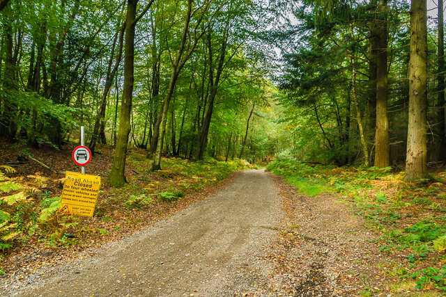
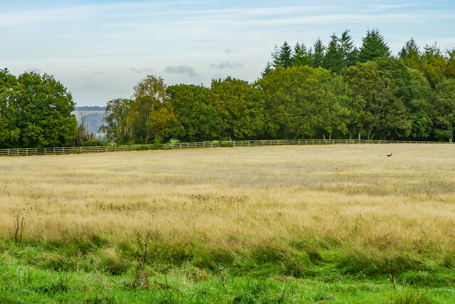
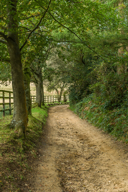
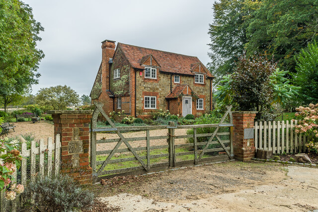
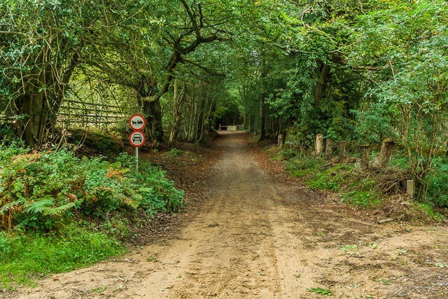
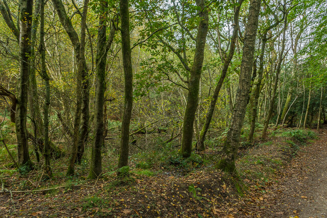
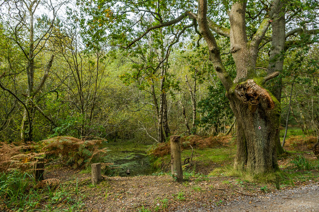
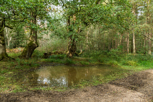
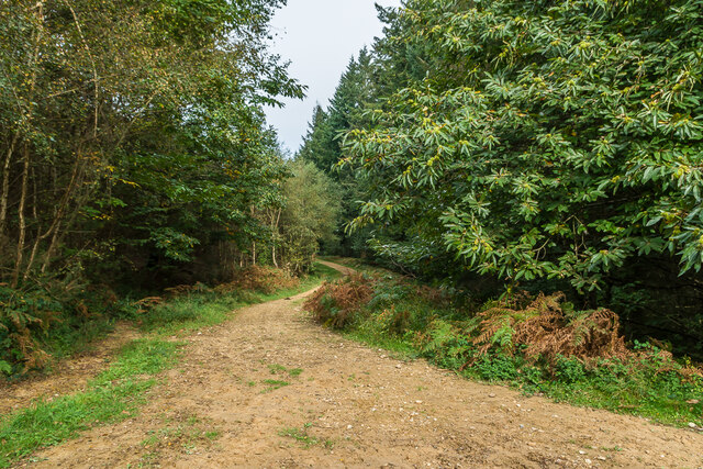
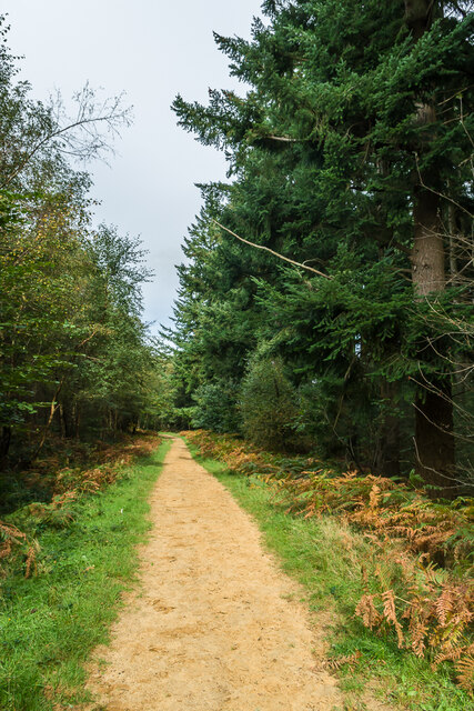
Brookwick Copse is a picturesque woodland located in Surrey, England. Spanning over a vast area, it stands as a remarkable testament to the natural beauty of the region. The copse is nestled amidst the rolling hills and meandering streams, making it an idyllic escape from the hustle and bustle of everyday life.
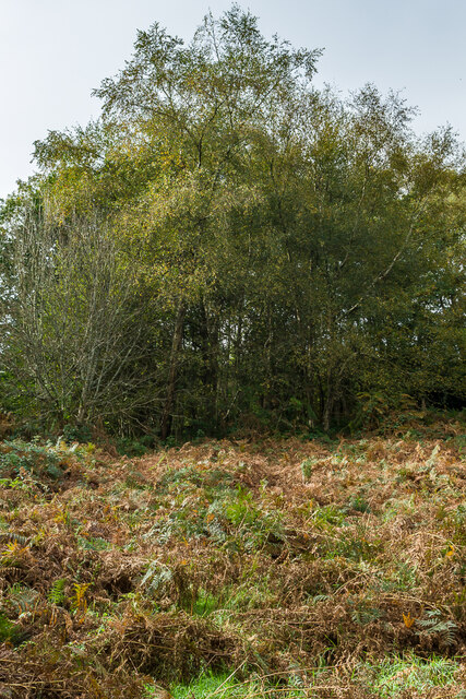
The woodland is primarily composed of native tree species, including oak, beech, and birch, creating a rich and diverse habitat for a variety of flora and fauna. The towering trees provide a canopy that filters sunlight, creating a dappled effect on the forest floor. This allows for the growth of numerous wildflowers and ferns, adding to the copse's enchanting atmosphere.
Brookwick Copse is also home to a wide range of wildlife. Visitors may be lucky enough to spot deer, foxes, and badgers roaming freely within the woodland. Additionally, the copse is a haven for birdwatchers, as it attracts various species of birds, including woodpeckers, owls, and warblers.
The copse offers several walking trails that wind through its enchanting landscape. These paths are well-maintained, allowing visitors to explore the woodland at their own pace. Along the way, there are designated picnic areas, where visitors can take a break and enjoy the serene surroundings. Visitors can also find information boards at key points, providing interesting facts about the copse's history and ecology.
Brookwick Copse is a true gem of Surrey, offering a tranquil and immersive experience in nature. Its breathtaking beauty and diverse wildlife make it a must-visit destination for nature enthusiasts and those seeking solace in the great outdoors.
If you have any feedback on the listing, please let us know in the comments section below.
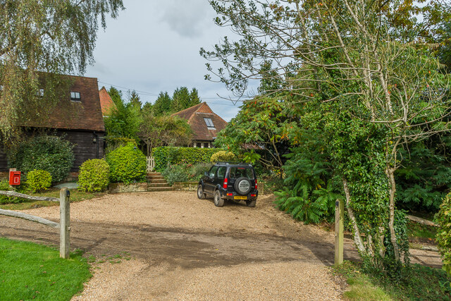
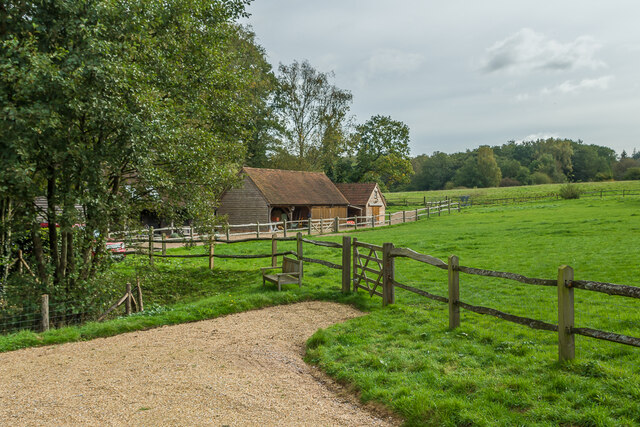
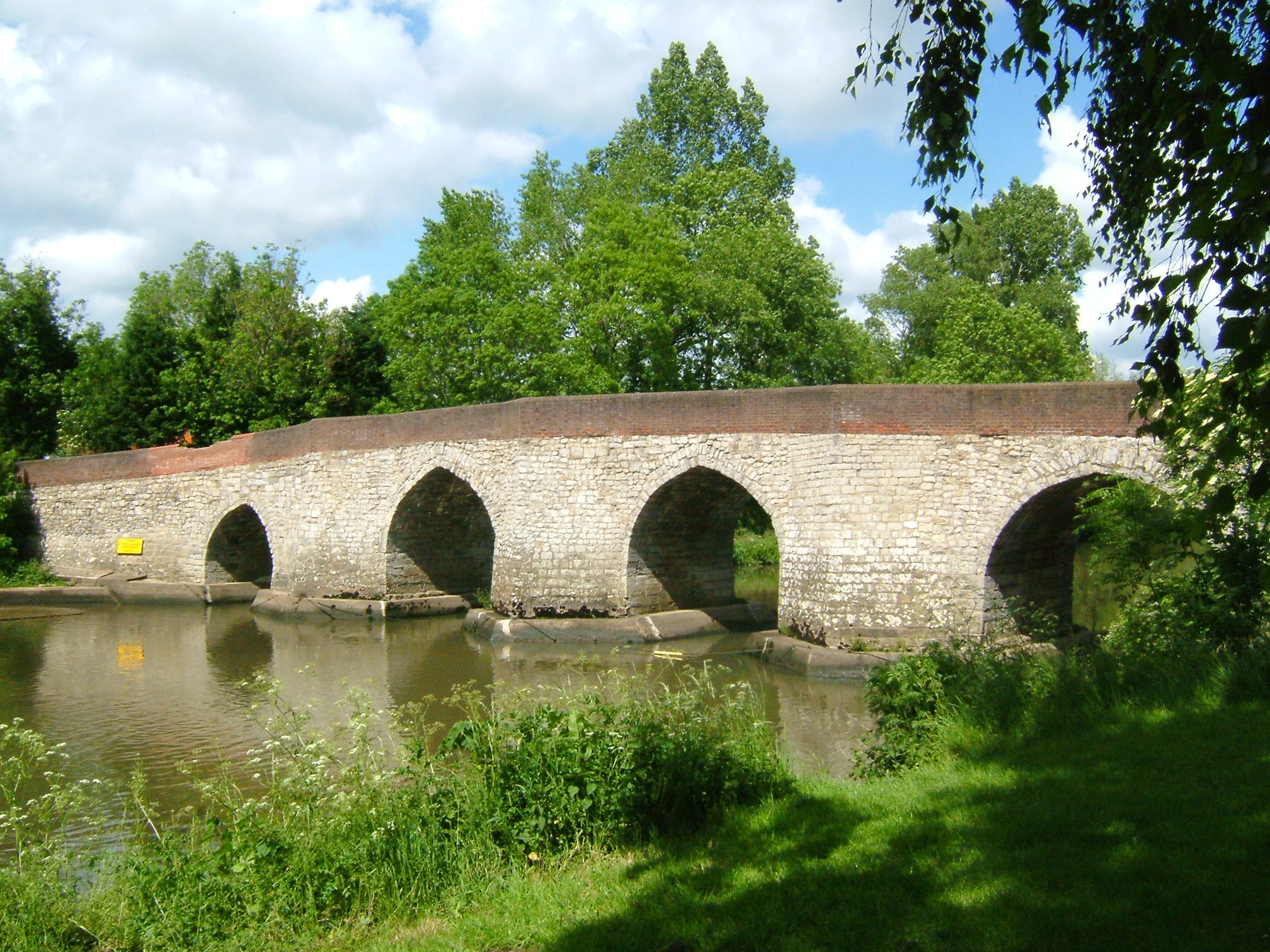
Brookwick Copse Images
Images are sourced within 2km of 51.194879/-0.36898691 or Grid Reference TQ1445. Thanks to Geograph Open Source API. All images are credited.
Brookwick Copse is located at Grid Ref: TQ1445 (Lat: 51.194879, Lng: -0.36898691)
Administrative County: Surrey
District: Mole Valley
Police Authority: Surrey
What 3 Words
///wheels.activism.organs. Near Westcott, Surrey
Nearby Locations
Related Wikis

Wotton and Abinger Commons
Wotton and Abinger Commons is a 324-hectare (800-acre) nature reserve south-west of Dorking in Surrey. It is managed by the Surrey Wildlife Trust. Part...

Friday Street
Friday Street is a hamlet on the gentle lower north slope of Leith Hill in Surrey, England. It is in a wooded headwater ravine, just to the south of Wotton...

Leith Hill SSSI
Leith Hill SSSI is a 337.9-hectare (835-acre) biological Site of Special Scientific Interest south-east of Dorking in Surrey. The SSSI consists of four...

Coldharbour, Surrey
Coldharbour is a hamlet in the Mole Valley district, in the English county of Surrey. It is on a minor road from Dorking to Leith Hill Place. == Description... ==

Abinger
Abinger is a large, well-wooded and mostly rural civil parish that lies between the settlements of Dorking, Shere and Ewhurst in the district of Mole Valley...
Greensand Way
The Greensand Way is a long-distance path of 108 miles (174 km) in southeast England, from Haslemere in Surrey to Hamstreet in Kent. It follows the Greensand...

Leith Hill
Leith Hill in southern England is the highest summit of the Greensand Ridge, approximately 6.7 km (4 mi) southwest of Dorking, Surrey and 40.5 km (30 mi...

Leith Hill multiple aircraft accident
On 26 November 1944, four C-47 transport aircraft of the 442nd Operations Group departed from Advanced Landing Ground "A-4 in Pays de la Loire, northern...
Related Videos
Leith Hill | Gomshall to Dorking Walk | 4K | Day Hike Saturday | 🇬🇧 Hiking UK | England
This walk starts at Leigh station and heads west through parkland to the attractive village of Penshurst. After crossing the River ...
LEITH HILL TOWER | Drone 4k | National Trust Walk | Day Hike Saturday | 🇬🇧 Hiking UK | England
Holmwood to Gomshall walk Next event: http://www.senderismoenlondres.co.uk/events.html A very pretty forest walk, quite close ...
Hiking to Leith Hill - Shot with Fujifilm X-H2S
This was an organised hike to Leith Hill in Surrey with the LGBTQ+ and allied group Trek/Fit. In this video I show the beautiful ...
![[GB] 🇬🇧 Weekend Hiking - Exploring into the Nature - Tillingbourne waterfall](https://i.ytimg.com/vi/SN51lpqvp4w/hqdefault.jpg)
[GB] 🇬🇧 Weekend Hiking - Exploring into the Nature - Tillingbourne waterfall
Leith Hill is 40KMs from Central London. It's in Southern England. It reaches 294m above sea level, which is second height point ...
Nearby Amenities
Located within 500m of 51.194879,-0.36898691Have you been to Brookwick Copse?
Leave your review of Brookwick Copse below (or comments, questions and feedback).