Balls Wood

Wood, Forest in Sussex Horsham

England

Balls Wood

Bridleway past Pear Tree Farm The bridleway is up to 15 metres wide between long-established hedge banks and ditches, and must be ancient in origin, probably an old cart road. Pear Tree Farm, on the south side of the track, is quite recent, but Maltmayes, at the eastern end, is C14 in origin, and the track surely is much older still. Fortunately, this western end is no longer used by vehicles, perhaps because the junction with the Bognor Road (A29) is less than satisfactory (and distinctly hazardous if approaching from the opposite direction).
Bridleway past Pear Tree Farm Credit: Hugh Craddock

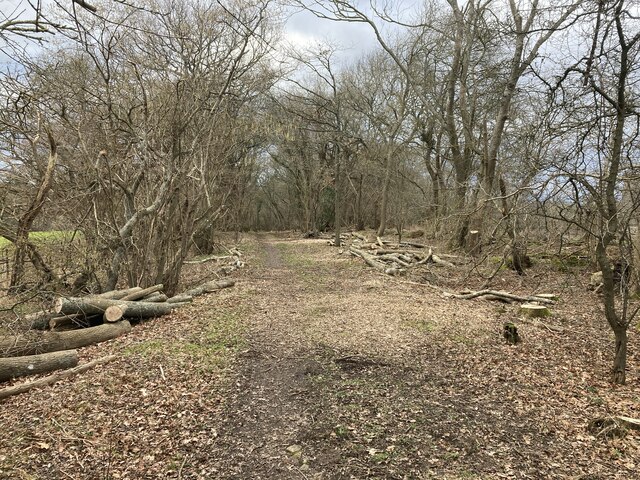
Balls Wood is a small but picturesque woodland located in Sussex, England. Situated near the village of Sussex, it covers an area of approximately 50 acres. The wood is predominantly made up of native broadleaf trees, such as oak, beech, and ash, creating a vibrant and diverse ecosystem.

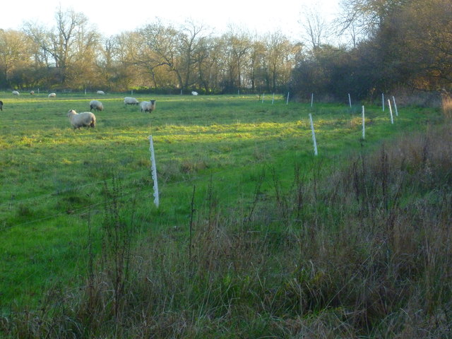
The woodland is well-known for its rich biodiversity, providing a habitat for various species of flora and fauna. Bluebells carpet the forest floor in the spring, creating a stunning display of color. Additionally, rare and endangered species, such as the dormouse and the lesser spotted woodpecker, have been recorded in the area, highlighting the importance of conservation efforts.

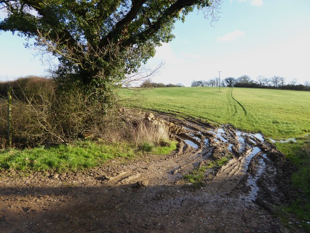
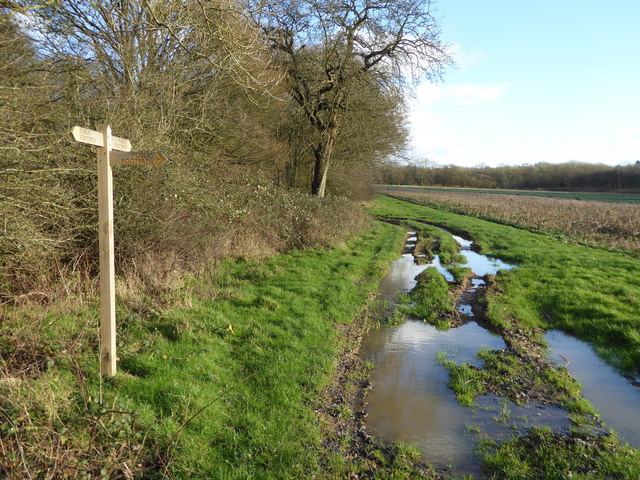
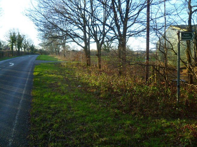
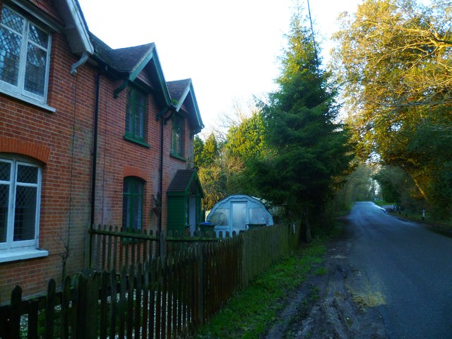
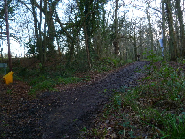
Balls Wood offers visitors a tranquil and peaceful setting, making it a popular destination for nature enthusiasts and hikers. Several well-maintained footpaths wind through the wood, offering visitors the opportunity to explore its beauty and discover its hidden treasures. The paths are suitable for all levels of walkers, ensuring accessibility for all.

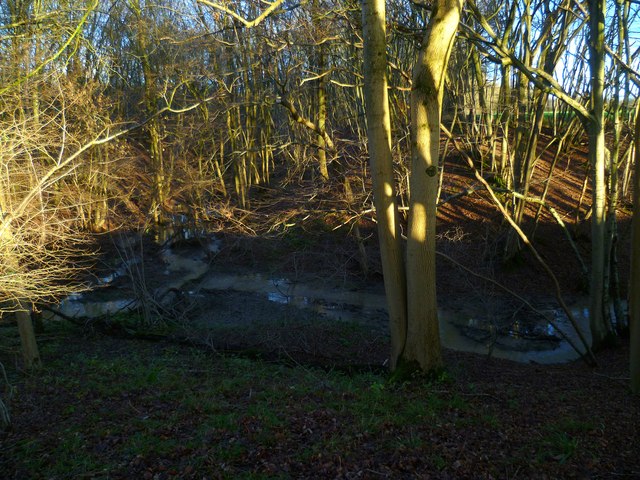
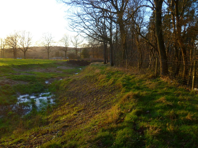
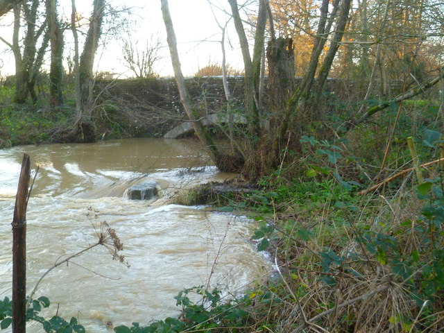
Visitors to Balls Wood can also enjoy the presence of a small stream that runs through the woodland, adding to its natural charm. The stream provides a valuable water source for the wildlife and adds to the overall beauty of the wood.

Overall, Balls Wood is a hidden gem in Sussex, offering visitors the chance to immerse themselves in nature and experience the tranquility of a traditional English woodland. With its diverse range of flora and fauna, well-maintained footpaths, and scenic beauty, it is a must-visit destination for any nature lover.

If you have any feedback on the listing, please let us know in the comments section below.
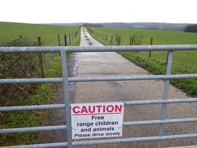
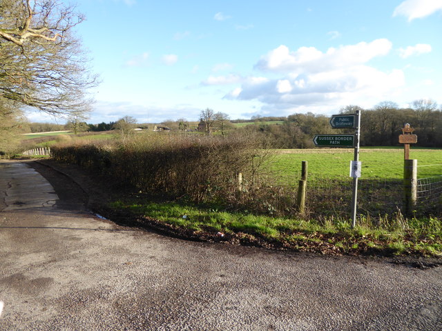
Balls Wood Images

Images are sourced within 2km of 51.113907/-0.37345371 or Grid Reference TQ1336. Thanks to Geograph Open Source API. All images are credited.

Bridleway past Pear Tree Farm The bridleway is up to 15 metres wide between long-established hedge banks and ditches, and must be ancient in origin, probably an old cart road. Pear Tree Farm, on the south side of the track, is quite recent, but Maltmayes, at the eastern end, is C14 in origin, and the track surely is much older still. Fortunately, this western end is no longer used by vehicles, perhaps because the junction with the Bognor Road (A29) is less than satisfactory (and distinctly hazardous if approaching from the opposite direction).
Bridleway past Pear Tree Farm
The bridleway is up to 15 metres wide between long-established hedge banks and ditches, and must be ancient in origin, probably an old cart road. Pear Tree Farm, on the south side of the track, is quite recent, but Maltmayes, at the eastern end, is C14 in origin, and the track surely is much older still. Fortunately, this western end is no longer used by vehicles, perhaps because the junction with the Bognor Road (A29) is less than satisfactory (and distinctly hazardous if approaching from the opposite direction).
Marches Farmhouse, Marches Road The date 1877 appears as a pattern of blue brickwork (so called 'diapering') between the middle and left-hand ground-floor windows.  No longer a working farm.
Marches Farmhouse, Marches Road
The date 1877 appears as a pattern of blue brickwork (so called 'diapering') between the middle and left-hand ground-floor windows. No longer a working farm.
Mayes Lane near Joanlands Farm Dave Spicer was here before me, but at a less colourful, leafless time of year : <a href="https://www.geograph.org.uk/photo/2845209">TQ1535 : Mayes Lane south to Warnham</a>
Mayes Lane near Joanlands Farm
Dave Spicer was here before me, but at a less colourful, leafless time of year : TQ1535 : Mayes Lane south to Warnham
Houses on Horsham Road north of Rowhook
Weatherpigeon north of Rowhook
Road to "Charmans" goes east from Horsham Road See <a title="https://www.geograph.org.uk/photo/119408" href="https://www.geograph.org.uk/photo/119408">Link</a> from 2006.
Road to "Charmans" goes east from Horsham Road
See Link from 2006.
The Sussex Border Path at the junction with the A29 The path uses the drive to Denne Farm.
This is in West Sussex.
The Sussex Border Path at the junction with the A29
The path uses the drive to Denne Farm. This is in West Sussex.
Weatherpig at Denne Farm
Footpath across field at Denne Farm The path on the ground does not quite agree with the OS map.
Footpath across field at Denne Farm
The path on the ground does not quite agree with the OS map.
Footpath junction at Woodbarn
Woodbarn seen from footpath This building has been restored since <a title="https://www.geograph.org.uk/photo/536917" href="https://www.geograph.org.uk/photo/536917">Link</a>.
Woodbarn seen from footpath
This building has been restored since Link.
Stonefarm Gill and tributary
Looking west along Marches Road at footpath junction
Field edge path at Winterfold
Dwellings on Northlands Road
Looking west along the edge of Mount Wood
Turbulence beneath the A29
Bridleway goes south from Northlands Road through Benland Wood
Show me another place!

Balls Wood is located at Grid Ref: TQ1336 (Lat: 51.113907, Lng: -0.37345371)

Administrative County: West Sussex

District: Horsham

Police Authority: Sussex

What 3 Words

///skirting.relieves.browser. Near Warnham, West Sussex

Nearby Locations

Balls Wood Ruckman's Copse

Related Wikis

Stane Street (Chichester)

Stane Street is the modern name of the 91 km-long (57 mi) Roman road in southern England that linked Londinium (London) to Noviomagus Reginorum (Chichester...

High Weald AONB

The High Weald Area of Outstanding Natural Beauty is in south-east England. Covering an area of 1,450 square kilometres (560 sq mi), it takes up parts...

Warnham & Rusper (electoral division)

Warnham & Rusper is an electoral division of West Sussex in the United Kingdom and returns one member to sit on West Sussex County Council. The current...

Vann Lake and Ockley Woods

Vann Lake and Ockley Woods is a 57.8-hectare (143-acre) biological Site of Special Scientific Interest south of Ockley in Surrey. Vann Lake is part of...

Warnham

Warnham is a village and civil parish in the Horsham district of West Sussex, England. The village is centred 2 miles (3.2 km) north-northwest of Horsham...

Smokejack Clay Pit

Smokejack Clay Pit is a 56-hectare (140-acre) geological Site of Special Scientific Interest east of Cranleigh in Surrey. It is a Geological Conservation...

Wallis Wood

Wallis Wood is a 14-hectare (35-acre) nature reserve south-east of Ewhurst in Surrey. It is managed by the Surrey Wildlife Trust.A stream runs through...

Shiremark Mill, Capel

Shiremark Mill, also known as Kingsfold Mill or Capel Mill was a listed Smock mill at Capel, Surrey, England, which was burnt down in 1972. == History... ==

Nearby Amenities

Located within 500m of 51.113907,-0.37345371
The data included in this document is from www.openstreetmap.org. The data is made available under ODbL.

Have you been to Balls Wood?

Leave your review of Balls Wood below (or comments, questions and feedback).