East Wood
Wood, Forest in Hertfordshire Hertsmere
England
East Wood

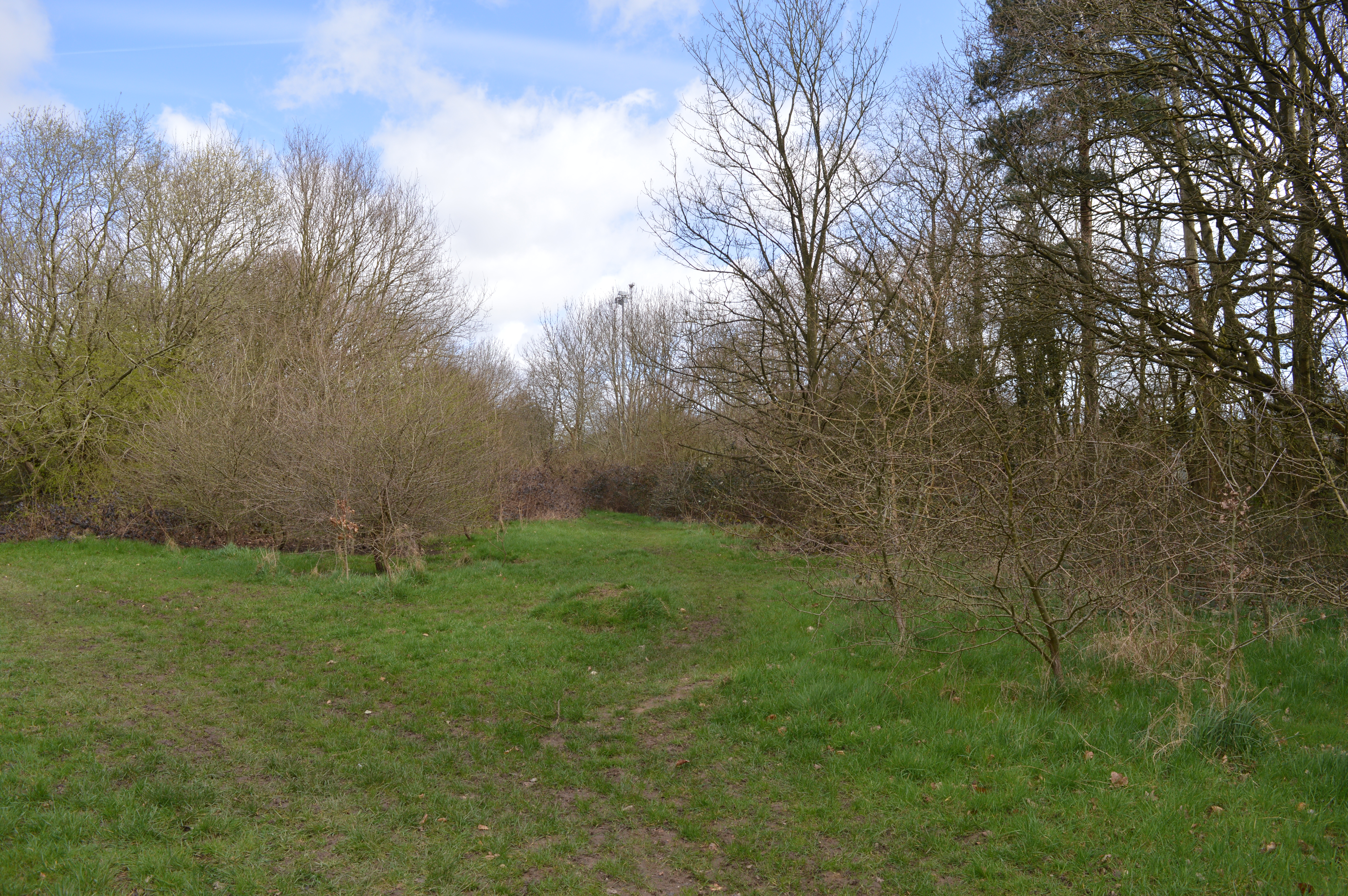
East Wood is a small village located in the county of Hertfordshire, England. Situated in the southeastern part of the county, it is surrounded by lush greenery and beautiful woodlands, giving it an idyllic and serene atmosphere. The village is known for its abundant forests, which are a significant part of its landscape and provide a haven for nature enthusiasts.
The woodland in East Wood is diverse, featuring a mix of deciduous and coniferous trees, including oak, beech, pine, and spruce. This variety of tree species contributes to a rich and vibrant ecosystem, supporting a wide range of flora and fauna. The forest floor is adorned with various wildflowers, ferns, and mosses, creating a picturesque scene.
The woodlands of East Wood are also popular among walkers, hikers, and cyclists, who can explore the numerous trails and paths that wind through the forest. These paths are well-maintained and offer stunning views of the surrounding countryside. Additionally, there are picnic areas and designated spots for birdwatching, allowing visitors to fully immerse themselves in the natural beauty of the area.
The village itself is small and charming, with traditional architecture and a close-knit community. It has a handful of amenities, including a local pub and a small convenience store, catering to the needs of its residents.
Overall, East Wood, Hertfordshire is a hidden gem for nature lovers, offering a tranquil escape from the hustle and bustle of city life. Its verdant woodlands and picturesque scenery make it an ideal destination for those seeking a peaceful retreat in the heart of nature.
If you have any feedback on the listing, please let us know in the comments section below.
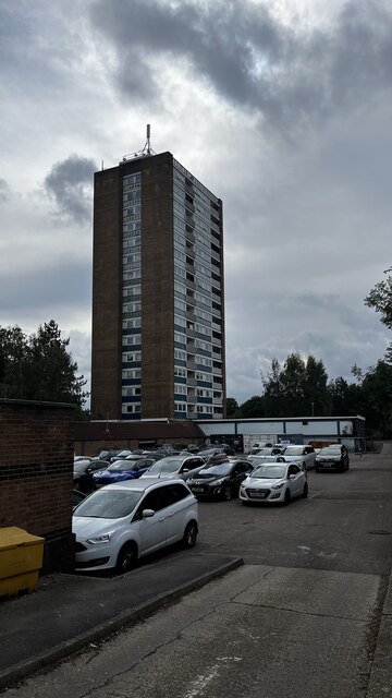
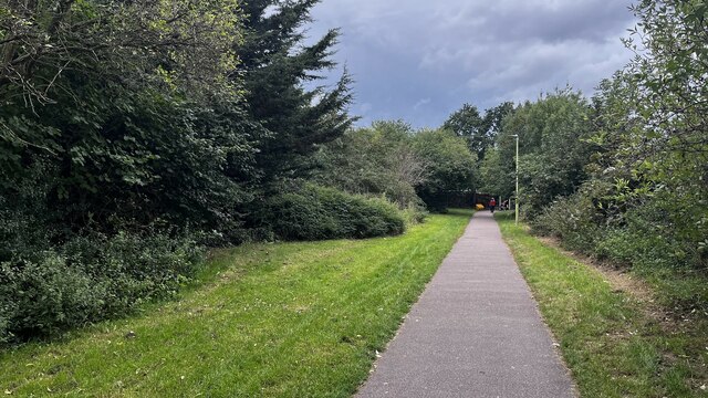
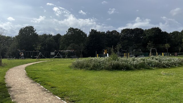
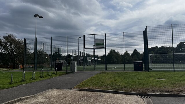
East Wood Images
Images are sourced within 2km of 51.680362/-0.3562604 or Grid Reference TQ1399. Thanks to Geograph Open Source API. All images are credited.


East Wood is located at Grid Ref: TQ1399 (Lat: 51.680362, Lng: -0.3562604)
Administrative County: Hertfordshire
District: Hertsmere
Police Authority: Hertfordshire
What 3 Words
///rival.sport.notes. Near Radlett, Hertfordshire
Nearby Locations
Related Wikis

Wall Hall
Wall Hall, originally known as Aldenham Abbey, is a country house at Aldenham in Hertfordshire, England. The main house and several ancillary buildings...

Edge Grove School
Edge Grove School, simply Edge Grove, is a 3–13 mixed, private, day preparatory school in Aldenham, Watford, Hertfordshire, England. It was established...

Aldenham
Aldenham is a village and civil parish in the borough of Hertsmere in Hertfordshire, England. The parish includes Radlett and Letchmore Heath as well as...

Munden House
Munden House and its estate are located between Watford, Radlett and Bricket Wood in the county of Hertfordshire, England. It is a Grade II listed building...

Bricket Wood Common
Bricket Wood Common is a 70 hectare open space and biological Site of Special Scientific Interest in Bricket Wood in Hertfordshire. It is managed by St...

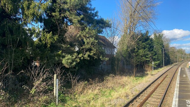
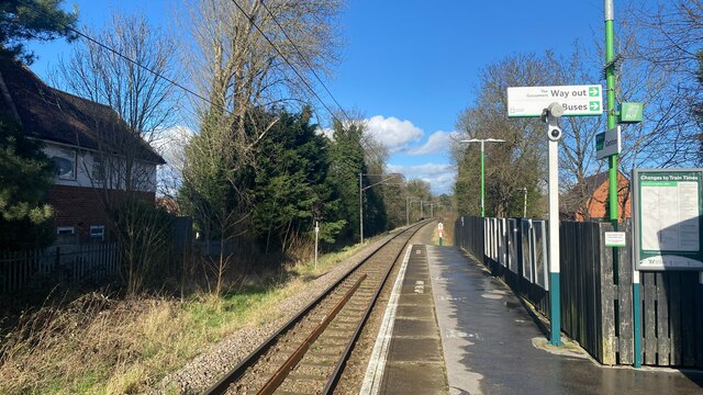
Garston railway station (Hertfordshire)
Garston railway station serves the Garston area of Watford in Hertfordshire, England. It is the third station on the Abbey Line after Watford Junction...
Garston Park
Garston Park is a park in Garston, Hertfordshire, a suburb of Watford in Hertfordshire. An area of 6.4 hectares, about half of the park, is a Local Nature...

Letchmore Heath
Letchmore Heath is a village in Hertfordshire in England, situated about three miles east of Watford. == General == The village, consisting of about 150...
Related Videos

Tranquil Pathways: Garston to St Albans Walk | UK Hiking Trails 🇬🇧
Embark on a serene journey as we walk from Garston to St Albans, immersing ourselves in the tranquil beauty of Hertfordshire's ...


Walking in Street of Watford Junction towards the High Street in Watford Southwest Hertfordshire
The first Station in Watford was North of St Albans Road. Watford Junction opened when the line to St Albans opened, joining the ...

Easy Sunday morning! 🇬🇧
grocery #sainsburys #sunday #sundaymorning #uk #unitedkingdom #england #watford #ofw #ofwlife #ofwuk #pinoy #pinoyuk ...
Nearby Amenities
Located within 500m of 51.680362,-0.3562604Have you been to East Wood?
Leave your review of East Wood below (or comments, questions and feedback).