Lodgefield Plantation

Wood, Forest in Hertfordshire North Hertfordshire

England

Lodgefield Plantation

The end of the road Little Offley is just one road and it doesn't go anywhere. This track leads off it near the far end.
The end of the road Credit: David Howard

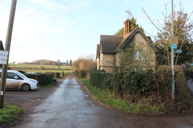
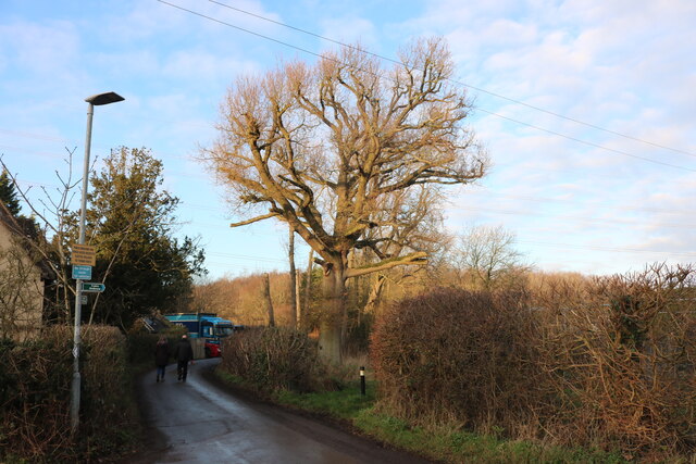
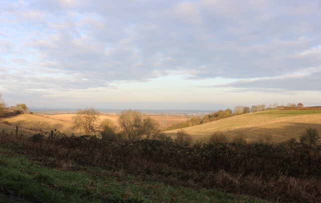
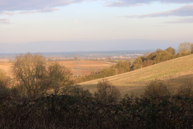
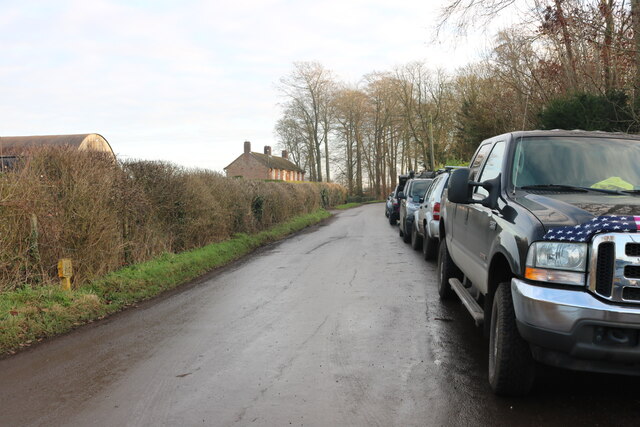
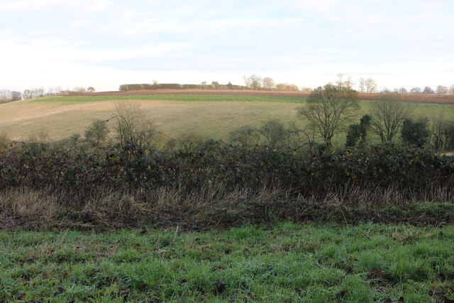
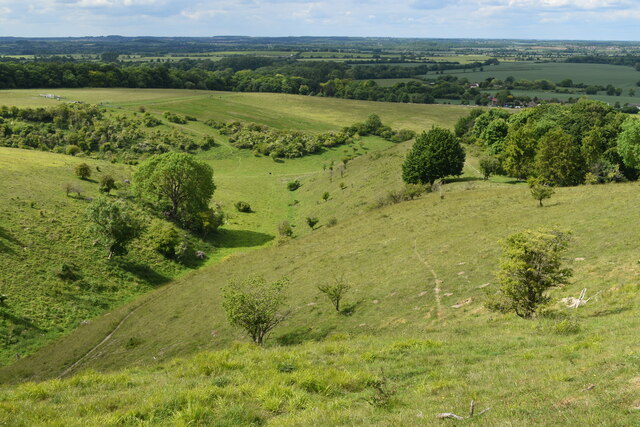
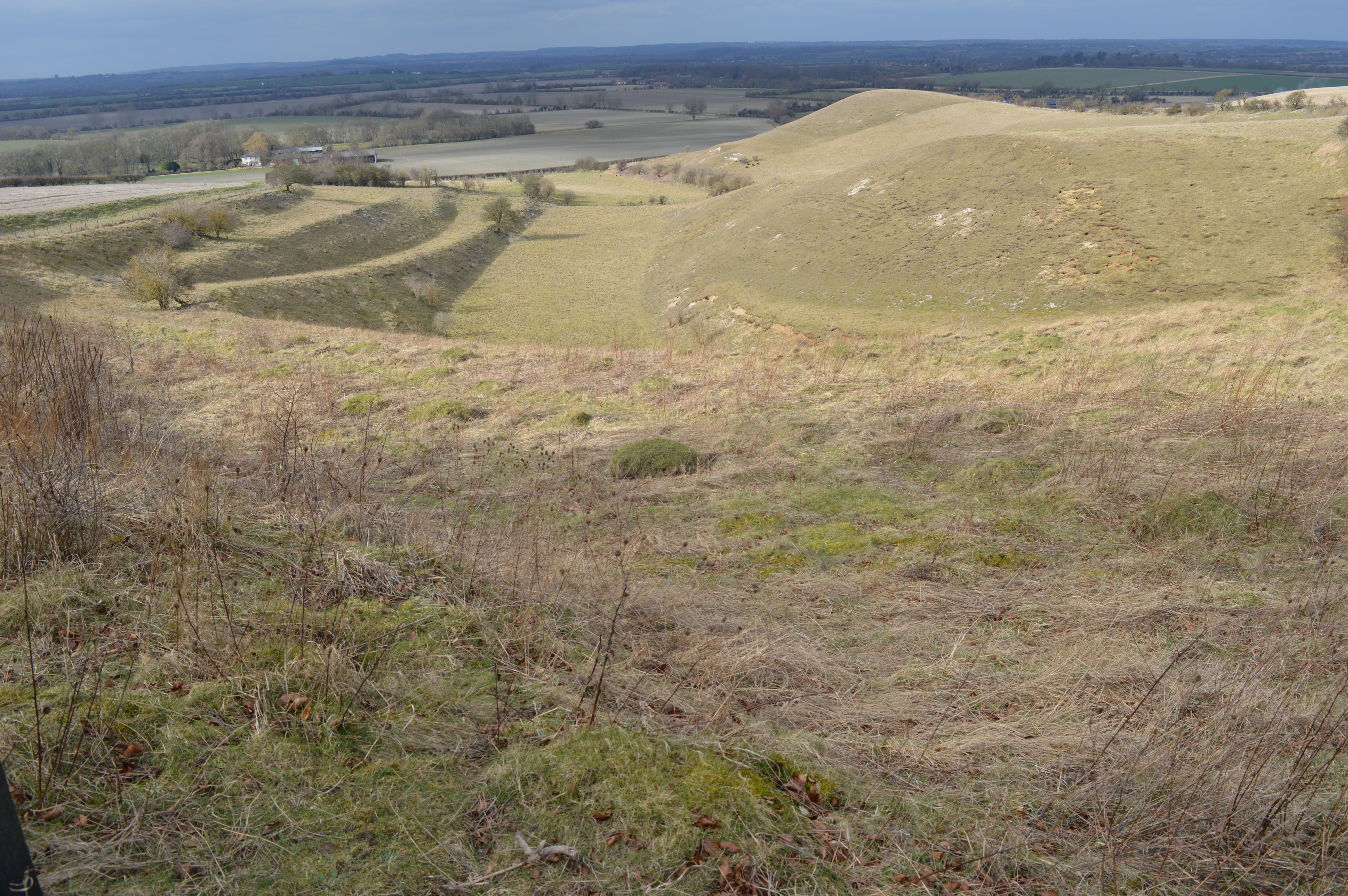
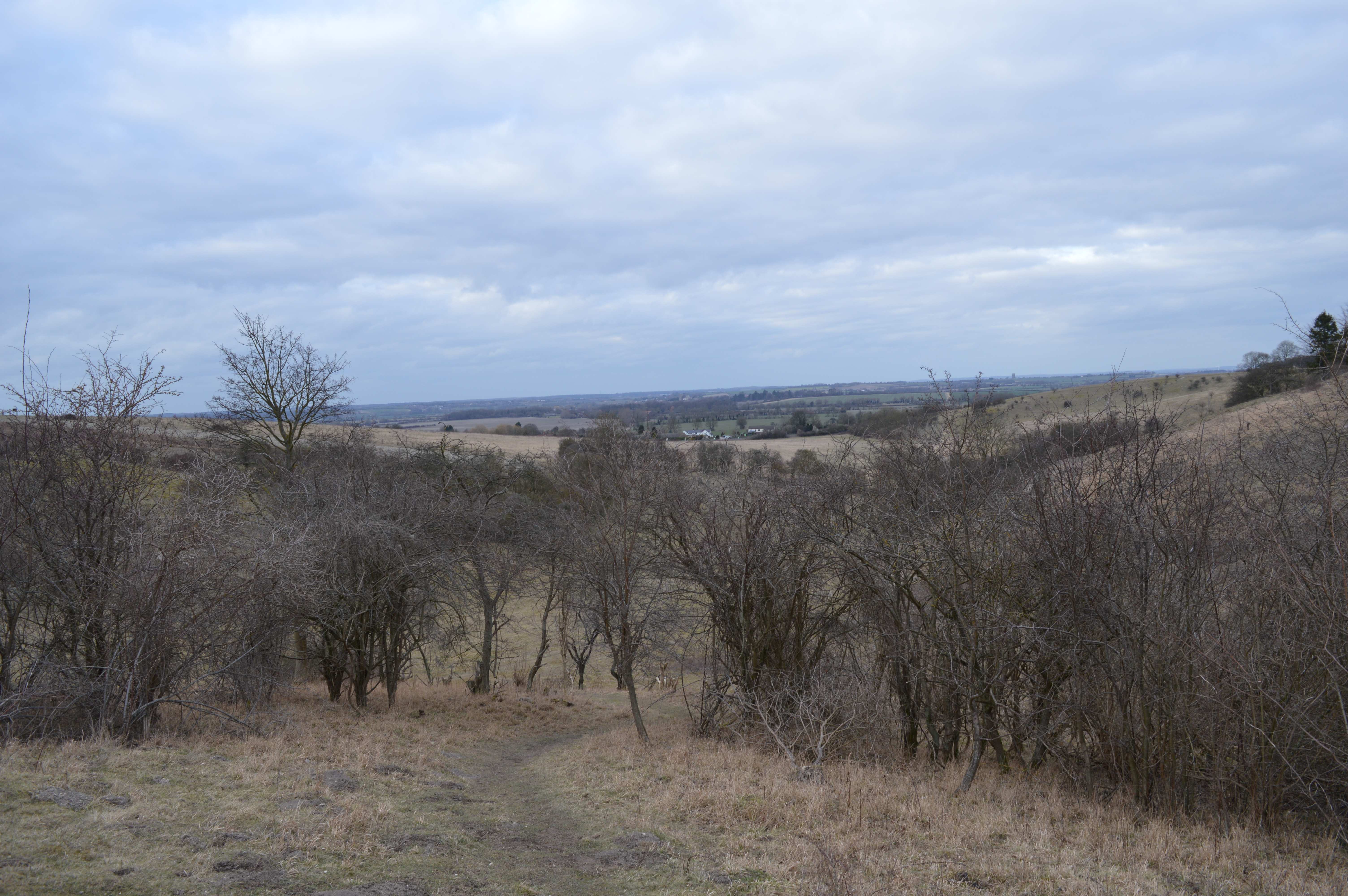
Lodgefield Plantation is a picturesque woodland located in Hertfordshire, England. Spread across a vast area, the plantation is a haven for nature lovers and outdoor enthusiasts. It is situated near the town of Wood, surrounded by rolling hills and scenic landscapes.

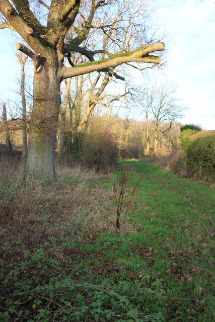
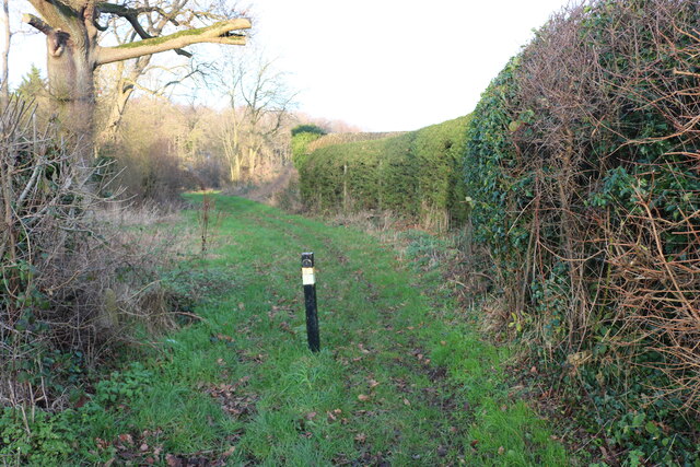
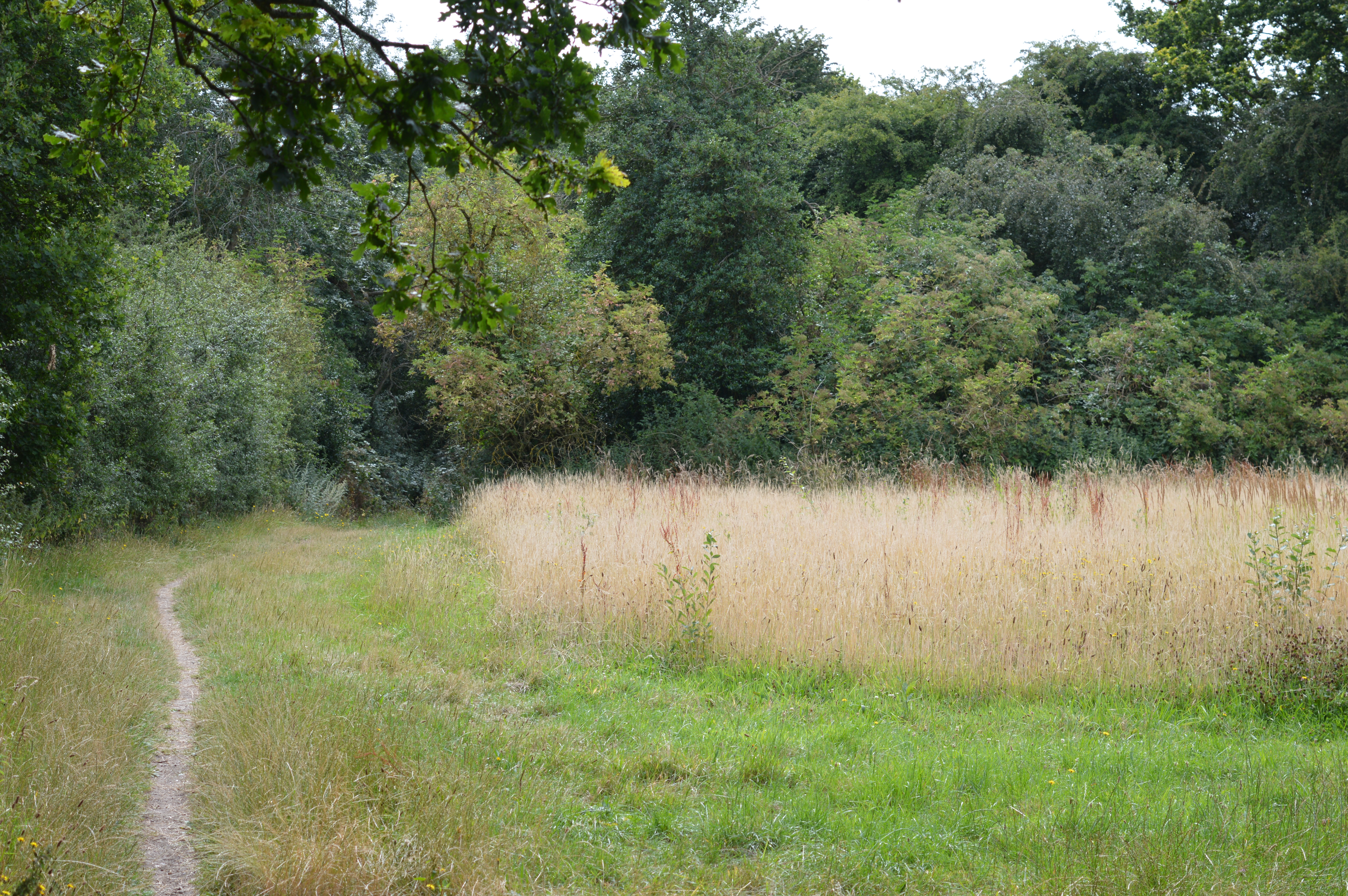
Covered in a dense canopy of trees, Lodgefield Plantation is primarily composed of deciduous and coniferous species. The plantation boasts a diverse range of tree species, including oak, beech, maple, pine, and spruce. This rich variety of flora creates a vibrant and colorful environment throughout the year, making it a popular destination for visitors.

The woodland is home to a wide array of wildlife, both common and rare. Birdwatchers can spot numerous species, including woodpeckers, owls, and various songbirds. Small mammals like squirrels, foxes, and rabbits can also be seen darting through the undergrowth. The plantation provides a natural habitat for these animals, ensuring their survival and contributing to the local ecosystem.

Lodgefield Plantation is a great place for outdoor activities such as walking, hiking, and cycling. Well-maintained trails wind through the woodland, offering visitors a chance to explore its beauty at their own pace. The serene atmosphere, coupled with the fresh air, makes it an ideal spot for relaxation and escape from the hustle and bustle of daily life.

Overall, Lodgefield Plantation in Hertfordshire is a delightful woodland retreat, offering a tranquil escape for nature lovers and outdoor enthusiasts. Its diverse flora and fauna, coupled with its natural beauty, make it a must-visit destination for anyone seeking solace in the heart of nature.

If you have any feedback on the listing, please let us know in the comments section below.

Lodgefield Plantation Images

Images are sourced within 2km of 51.952949/-0.34727165 or Grid Reference TL1329. Thanks to Geograph Open Source API. All images are credited.

The end of the road Little Offley is just one road and it doesn't go anywhere. This track leads off it near the far end.
The end of the road
Little Offley is just one road and it doesn't go anywhere. This track leads off it near the far end.
School Lane, Little Offley It was a very busy Sunday afternoon considering, with lots of walkers out for the nice weather in proper gear. They were all parked up along the road (and quite a few nearby) changing by the roadside.
School Lane, Little Offley
It was a very busy Sunday afternoon considering, with lots of walkers out for the nice weather in proper gear. They were all parked up along the road (and quite a few nearby) changing by the roadside.
View across Birkitt Hill, Little Offley
School Lane, Little Offley
Birkitt Hill, Little Offley
Path in Little Offley
Dry valley at Pegsdon Hills
View over dry valley at Pegsdon Hills
Valley and woodland, Pegsdon Hills
View towards Pegsdon from Deacon Hill
On the summit of Deacon Hill
Approaching the summit of Deacon Hill
Dry valley at Pegsdon Hills
Chiltern Way heading down to the Hitchin Road
Pegsdon arable weed reserve
Gate on Chiltern Way heading up Noon Hill
Show me another place!

Lodgefield Plantation is located at Grid Ref: TL1329 (Lat: 51.952949, Lng: -0.34727165)

Administrative County: Hertfordshire

District: North Hertfordshire

Police Authority: Hertfordshire

What 3 Words

///filer.studs.coil. Near Pirton, Hertfordshire

Related Wikis

Hitchin Yeshiva

Yeshivas Toras Chessed is a Jewish yeshiva, or rabbinical school. Its curriculum focuses on Torah study, emphasizing the study of Talmud and Jewish law...

Knocking Hoe

Knocking Hoe is a 7.7 hectare National Nature Reserve and biological Site of Special Scientific Interest near Pegsdon in Bedfordshire. It is mentioned...

Deacon Hill SSSI

Deacon Hill SSSI is a 35.4-hectare (87-acre) biological Site of Special Scientific Interest in Pegsdon in Bedfordshire. It is in the Chilterns Area of...

Pegsdon Hills and Hoo Bit

Pegsdon Hills and Hoo Bit is a 79-hectare (200-acre) nature reserve in Pegsdon in Bedfordshire. It is managed by the Wildlife Trust for Bedfordshire, Cambridgeshire...

Telegraph Hill, Hertfordshire

Telegraph Hill is a nature reserve near Lilley in north Hertfordshire. It is in the Chilterns Area of Outstanding Natural Beauty (AONB). According to...

Shillington Hoard

The Shillington Hoard is a Roman coin hoard found in Shillington, Bedfordshire in 1998. It consisted of 127 gold aurei, the latest of which was from 79...

Pegsdon

Pegsdon is a hamlet located in the Central Bedfordshire district of Bedfordshire, England. It is part of the Shillington civil parish, and is almost encircled...

Pirton, Hertfordshire

Pirton is a large village and civil parish three miles northwest of Hitchin in Hertfordshire, England. The population of the civil parish at the 2011 census...

Nearby Amenities

Located within 500m of 51.952949,-0.34727165
Access: private
Agricultural: yes
Barrier: bollard
Bicycle: yes
Bollard: rising
Fixme: Needs survey, somewhere along here.
Foot: yes
Horse: yes
Motor Vehicle: private
Lat/Long: 51.951721/-0.347564
Material: wood
Operator: UK Power Networks
Power: pole
Lat/Long: 51.9535824/-0.3534347
Material: wood
Operator: UK Power Networks
Power: pole
Lat/Long: 51.9526389/-0.3545271
Material: wood
Operator: UK Power Networks
Power: pole
Lat/Long: 51.95659/-0.3499098
Material: wood
Operator: UK Power Networks
Power: pole
Lat/Long: 51.9545911/-0.3522552
Material: wood
Operator: UK Power Networks
Power: pole
Lat/Long: 51.9558751/-0.3519246
Branch: UK Power Networks
Material: wood
Operator: UK Power Networks
Pole Type: crossing
Power: pole
Lat/Long: 51.9555776/-0.3511038
Material: wood
Operator: UK Power Networks
Power: pole
Lat/Long: 51.9550751/-0.3502294
Material: wood
Operator: UK Power Networks
Power: pole
Lat/Long: 51.9541163/-0.3485477
Material: wood
Operator: UK Power Networks
Power: pole
Lat/Long: 51.9533683/-0.3472683
Branch: UK Power Networks
Branch Type: tap
Material: wood
Operator: UK Power Networks
Pole Type: branch
Power: pole
Lat/Long: 51.9524463/-0.3456697
Frequency: 50
Location Transition: yes
Material: wood
Operator: UK Power Networks
Phases: 3
Power: pole
Transformer: distribution
Lat/Long: 51.9516136/-0.344224
Access: private
Entrance: yes
Lat/Long: 51.948728/-0.3496239
Noexit: yes
Lat/Long: 51.9515557/-0.3462752
Access: private
Entrance: yes
Lat/Long: 51.9531269/-0.3476373
Access: private
Entrance: main
Lat/Long: 51.9519528/-0.346578
Noexit: yes
Lat/Long: 51.9519492/-0.3470471
Noexit: yes
Lat/Long: 51.9546395/-0.3414016
Frequency: 50
Location Transition: yes
Material: wood
Operator: UK Power Networks
Phases: 1
Power: pole
Transformer: distribution
Lat/Long: 51.9550197/-0.3413433
Material: wood
Operator: UK Power Networks
Power: pole
Lat/Long: 51.9544837/-0.3422492
Material: wood
Operator: UK Power Networks
Power: pole
Lat/Long: 51.9539481/-0.3431591
Material: wood
Operator: UK Power Networks
Power: pole
Lat/Long: 51.9534506/-0.344
Material: wood
Operator: UK Power Networks
Power: pole
Lat/Long: 51.9529445/-0.3448546
The data included in this document is from www.openstreetmap.org. The data is made available under ODbL.

Have you been to Lodgefield Plantation?

Leave your review of Lodgefield Plantation below (or comments, questions and feedback).