Magpie Spinney
Wood, Forest in Huntingdonshire Huntingdonshire
England
Magpie Spinney

Magpie Spinney is a picturesque woodland located in Huntingdonshire, a county in the eastern part of England. Spread across a vast area, the spinney is a haven for nature enthusiasts and those seeking tranquility amidst the beauty of the forest.
The woodland is characterized by its dense canopy of tall, mature trees, predominantly oak and beech, which cast dappled shadows on the forest floor. This creates a serene atmosphere and provides an ideal habitat for a diverse range of flora and fauna. Bluebells carpet the forest floor in spring, creating a stunning display of color, while ferns and mosses thrive in the damp undergrowth.
Magpie Spinney is home to a variety of bird species, including the magpie, from which it derives its name. The melodious songs of blackbirds and the occasional call of a tawny owl can be heard echoing through the trees. Squirrels scamper along the branches, while rabbits and deer can often be spotted grazing in the clearings.
The spinney is crisscrossed by a network of well-maintained footpaths, allowing visitors to explore its natural wonders. These paths lead to secluded ponds and babbling brooks, providing a tranquil setting for picnics or quiet contemplation.
Magpie Spinney is managed by the local council, which ensures the preservation of its natural beauty. It is open to the public year-round, and admission is free. Nature lovers, hikers, and families alike flock to this peaceful woodland to enjoy its beauty and reconnect with the natural world.
If you have any feedback on the listing, please let us know in the comments section below.
Magpie Spinney Images
Images are sourced within 2km of 52.469897/-0.32825365 or Grid Reference TL1387. Thanks to Geograph Open Source API. All images are credited.


Magpie Spinney is located at Grid Ref: TL1387 (Lat: 52.469897, Lng: -0.32825365)
Administrative County: Cambridgeshire
District: Huntingdonshire
Police Authority: Cambridgeshire
What 3 Words
///solves.remembers.simulations. Near Stilton, Cambridgeshire
Nearby Locations
Related Wikis

Denton and Caldecote
Denton and Caldecote – in Huntingdonshire (now part of Cambridgeshire), England – is a civil parish near Glatton south west of Yaxley. The parish was formed...
Caldecote, Huntingdonshire
Caldecote is a village and former civil parish, now in the parish of Denton and Caldecote, in Cambridgeshire, England. Caldecote lies approximately 7 miles...
Denton, Cambridgeshire
Denton is a hamlet and former civil parish, now in the parish of Denton and Caldecote, in Cambridgeshire, England. Denton lies approximately 11 miles...

Washingley
Washingley is a hamlet and former civil parish, now in the parish of Folksworth and Washingley, in Cambridgeshire, England. Washingley lies approximately...
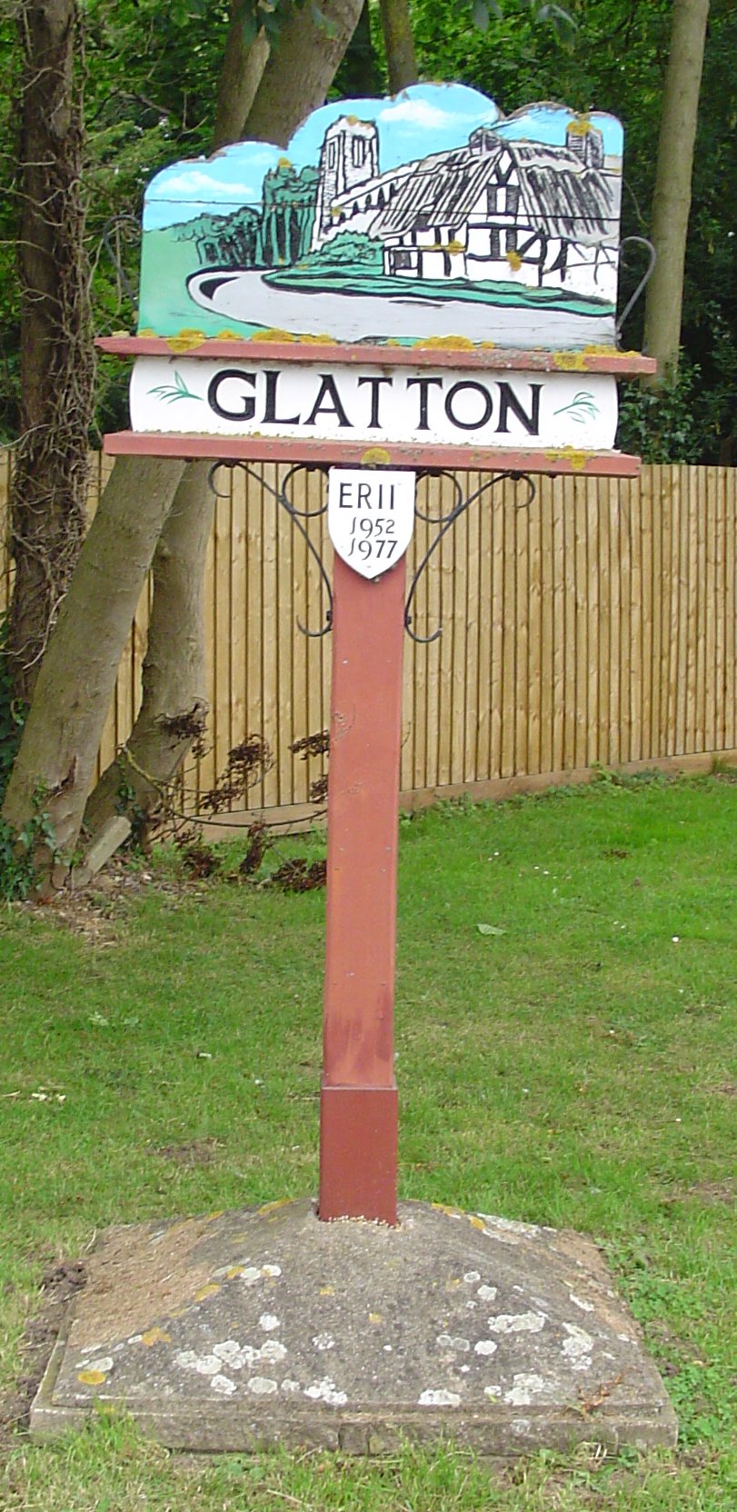
Glatton
Glatton is a village and civil parish in Cambridgeshire, England, some 8 miles (13 km) south-west of Peterborough, near the villages of Conington, Yaxley...
Lutton, Northamptonshire
Lutton is a village and civil parish in North Northamptonshire, England. The 2011 Census recorded its parish population as 186.The villages name means...
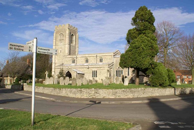
Folksworth
Folksworth is a village and former civil parish, now in the parish of Folksworth and Washingley, in Cambridgeshire, England. Folksworth lies approximately...
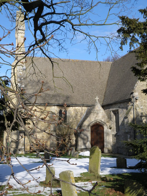
St Peter's Church, Lutton
St Peter's Church, Lutton is a Grade I Listed medieval church, which stands on the highest point in the village of Lutton, Northamptonshire, England. It...
Nearby Amenities
Located within 500m of 52.469897,-0.32825365Have you been to Magpie Spinney?
Leave your review of Magpie Spinney below (or comments, questions and feedback).