Four Acre Plantation
Wood, Forest in Hertfordshire St. Albans
England
Four Acre Plantation
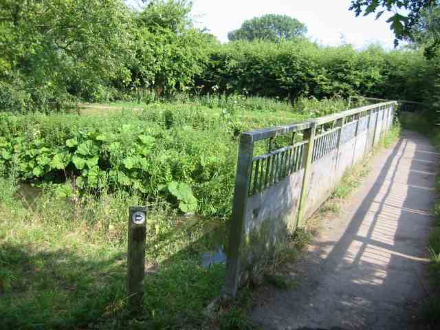
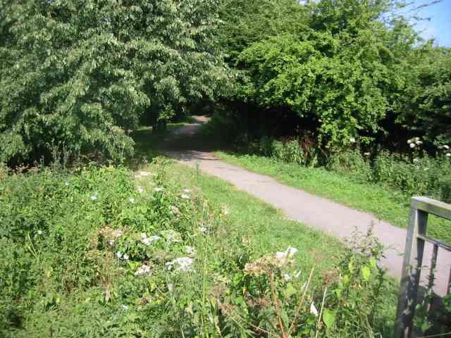
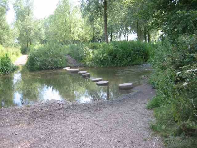
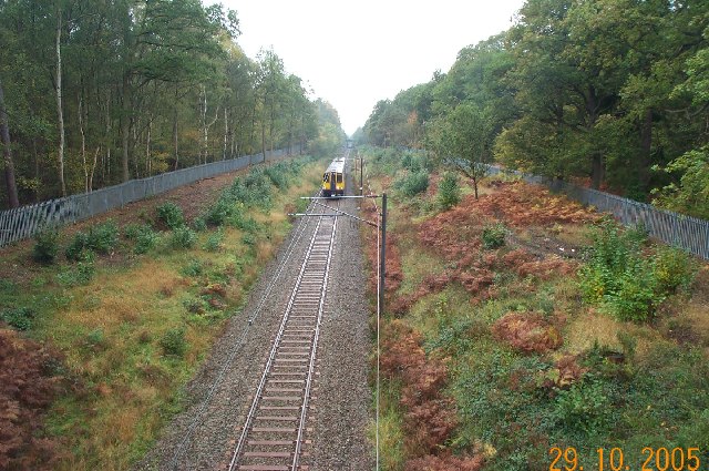
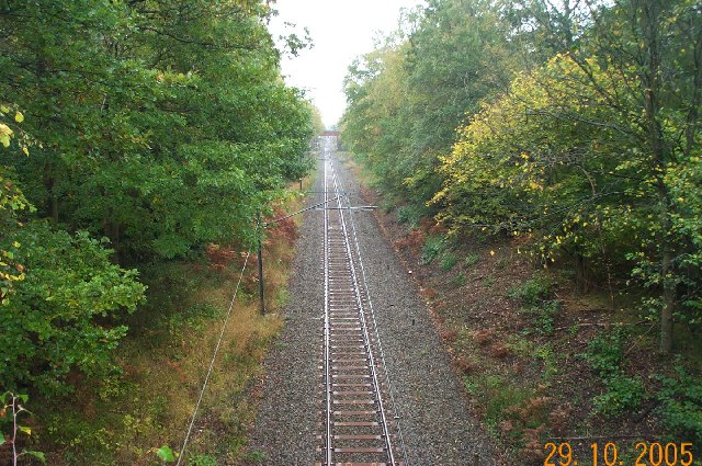
Four Acre Plantation is a picturesque woodland located in Hertfordshire, England. Spanning an area of approximately four acres, this plantation is a haven for nature enthusiasts and those seeking tranquility amidst the beauty of nature.
Situated in the heart of Hertfordshire, Four Acre Plantation boasts a diverse range of trees and vegetation, including oak, beech, and birch. The woodland floor is adorned with a rich tapestry of ferns, wildflowers, and moss, creating a vibrant and enchanting atmosphere. The plantation is also home to a variety of wildlife, including squirrels, rabbits, and a myriad of bird species, making it an ideal spot for birdwatching and wildlife photography.
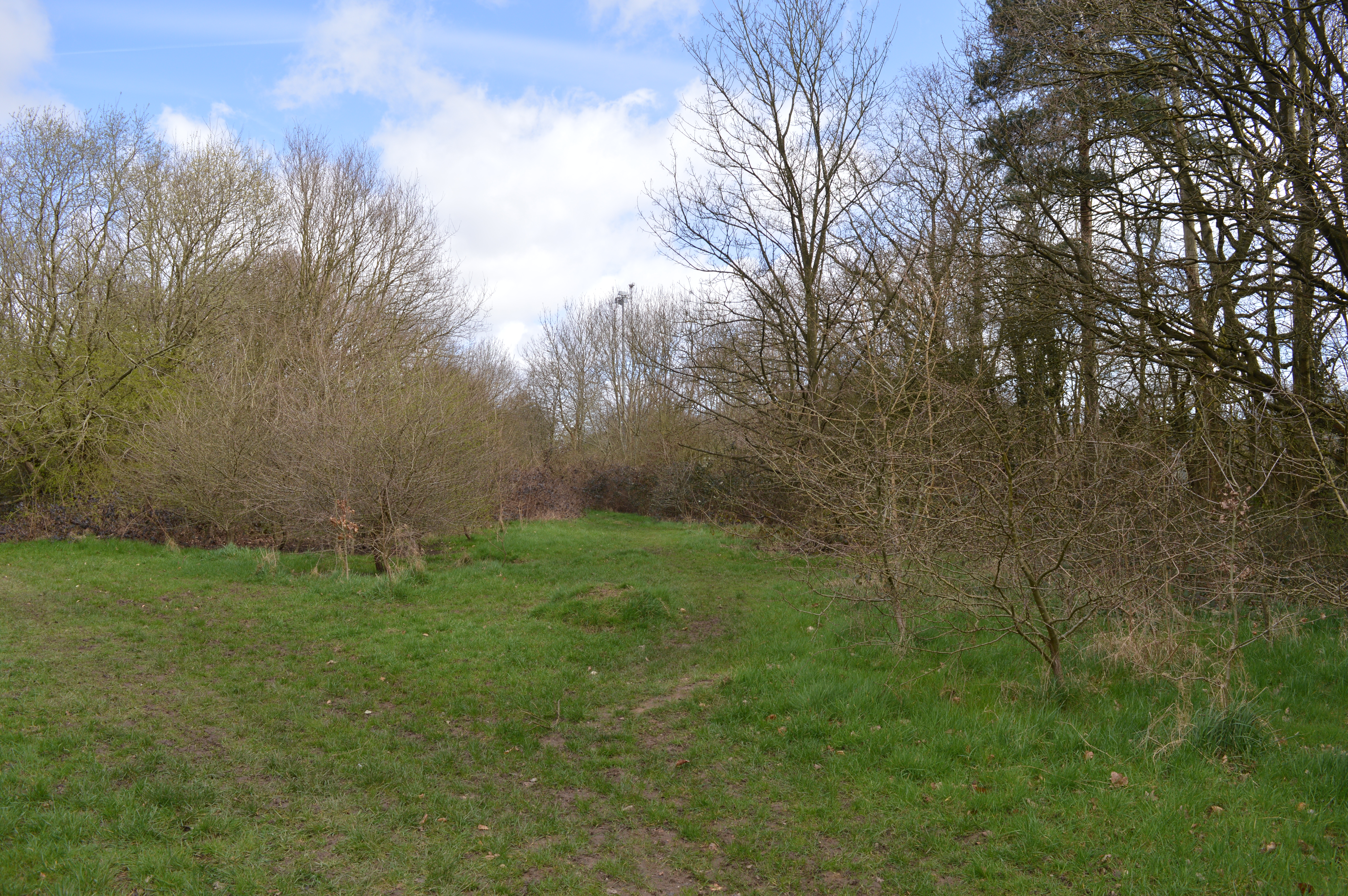
The plantation features several well-maintained walking trails that wind through the woodland, providing visitors with the opportunity to explore its hidden gems. These trails offer a mix of easy and moderate routes, catering to individuals of all fitness levels. Along the way, benches and picnic areas are scattered, inviting visitors to pause and immerse themselves in the serenity of the surroundings.
Four Acre Plantation is open to the public year-round, with no admission fee. The woodland is well-maintained by local authorities, ensuring a clean and safe environment for visitors to enjoy. It is recommended to wear appropriate footwear and clothing, as the terrain may be uneven and muddy in certain areas, especially during wet weather.
Whether you seek a peaceful retreat or wish to engage in outdoor activities, Four Acre Plantation offers a delightful escape from the hustle and bustle of daily life. Its natural beauty, diverse flora and fauna, and well-marked trails make it a perfect destination for nature lovers and those seeking a rejuvenating experience in Hertfordshire.
If you have any feedback on the listing, please let us know in the comments section below.
Four Acre Plantation Images
Images are sourced within 2km of 51.692304/-0.35953175 or Grid Reference TL1300. Thanks to Geograph Open Source API. All images are credited.


Four Acre Plantation is located at Grid Ref: TL1300 (Lat: 51.692304, Lng: -0.35953175)
Administrative County: Hertfordshire
District: St. Albans
Police Authority: Hertfordshire
What 3 Words
///lamps.garden.craft. Near Radlett, Hertfordshire
Nearby Locations
Related Wikis

Munden House
Munden House and its estate are located between Watford, Radlett and Bricket Wood in the county of Hertfordshire, England. It is a Grade II listed building...

Bricket Wood Common
Bricket Wood Common is a 70 hectare open space and biological Site of Special Scientific Interest in Bricket Wood in Hertfordshire. It is managed by St...

River Ver
The Ver is a 28 km (17 mi) long chalk stream in Hertfordshire, England. It is a tributary of the River Colne. == Course == The source is in the grounds...

Wall Hall
Wall Hall, originally known as Aldenham Abbey, is a country house at Aldenham in Hertfordshire, England. The main house and several ancillary buildings...

Abbey Line
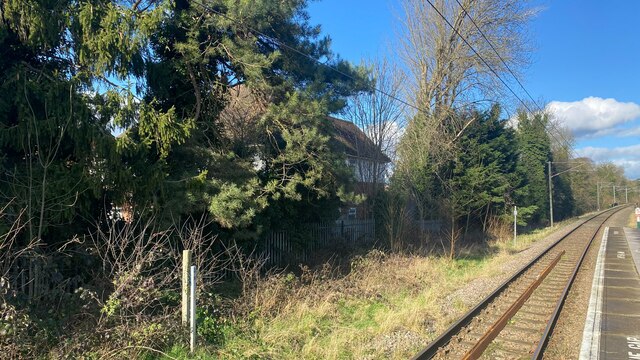
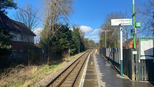
The Abbey Line, also called the St Albans Abbey branch line, is a railway line from Watford Junction to St Albans Abbey. The 6.5-mile (10.5 km) route passes...
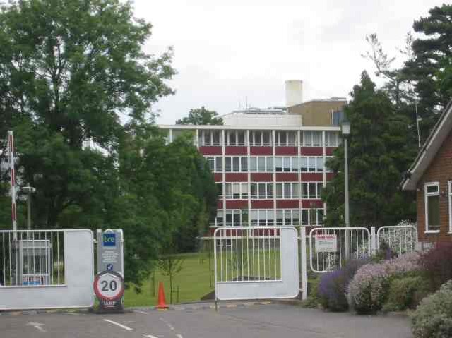
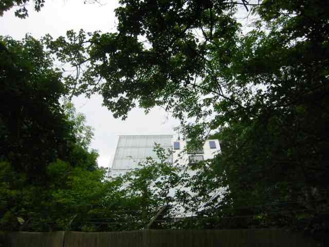
Building Research Establishment
The Building Research Establishment (BRE) is a centre of building science in the United Kingdom, owned by charitable organisation the BRE Trust. It is...
Garston Park
Garston Park is a park in Garston, Hertfordshire, a suburb of Watford in Hertfordshire. An area of 6.4 hectares, about half of the park, is a Local Nature...
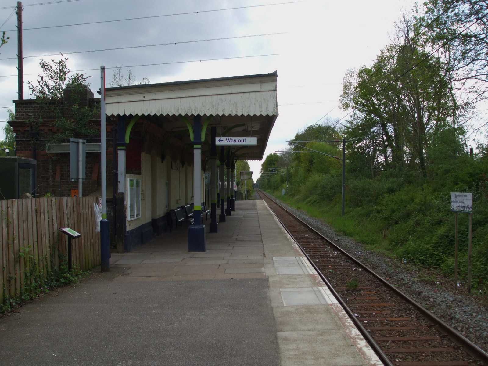
Bricket Wood railway station
Bricket Wood railway station is in the village of Bricket Wood, Hertfordshire, England, on the Abbey Line 31⁄4 miles (5 km) east of Watford Junction. The...
Nearby Amenities
Located within 500m of 51.692304,-0.35953175Have you been to Four Acre Plantation?
Leave your review of Four Acre Plantation below (or comments, questions and feedback).