Tobaccopipe Spinney

Wood, Forest in Bedfordshire

England

Tobaccopipe Spinney

Bridleway up towards Shuttleworth College
Bridleway up towards Shuttleworth College Credit: Philip Jeffrey

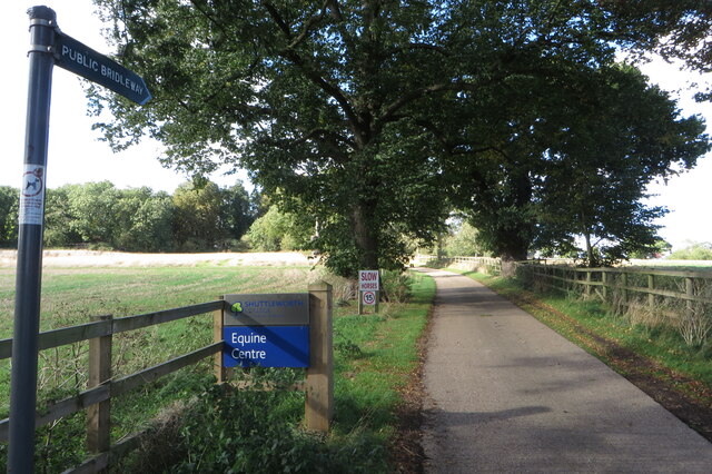
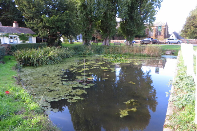
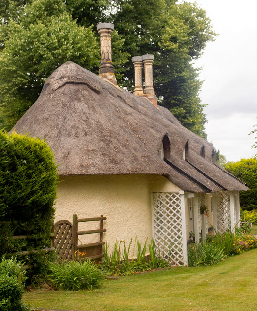
Tobaccopipe Spinney is a serene woodland located in the county of Bedfordshire, England. Situated near the town of Bedford, it offers a tranquil retreat from the bustling urban life. The spinney is known for its charming woodlands, providing a haven for nature enthusiasts and outdoor lovers.

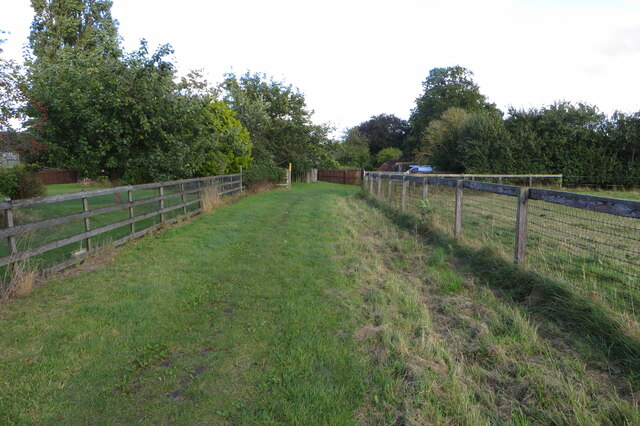
Covering an area of approximately 50 acres, Tobaccopipe Spinney is predominantly composed of native broadleaf trees such as oaks, beeches, and birches. These trees form a dense canopy, creating a cool and shaded atmosphere perfect for leisurely walks and picnics. The forest floor is adorned with a variety of wildflowers, ferns, and mosses, adding to its natural beauty.

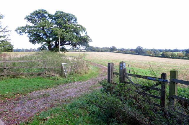
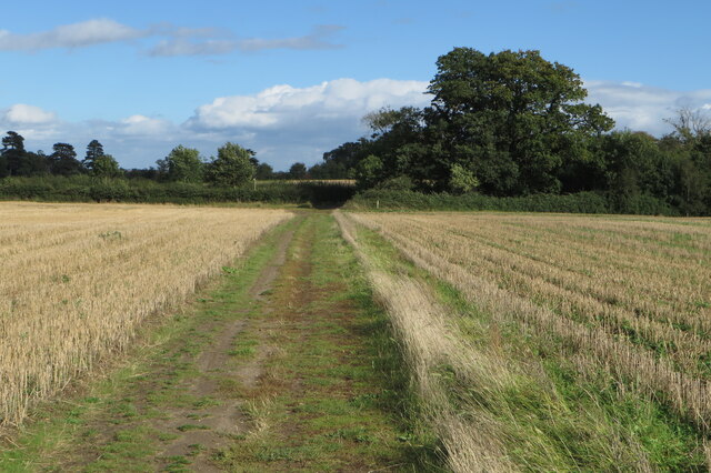
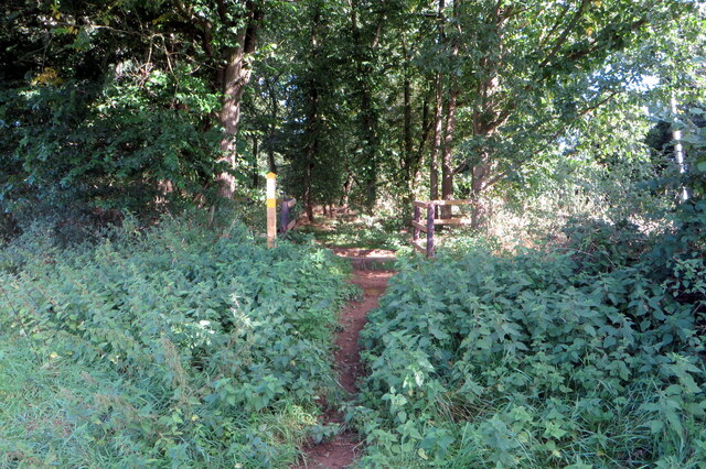
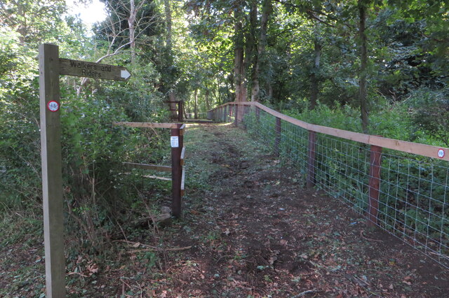
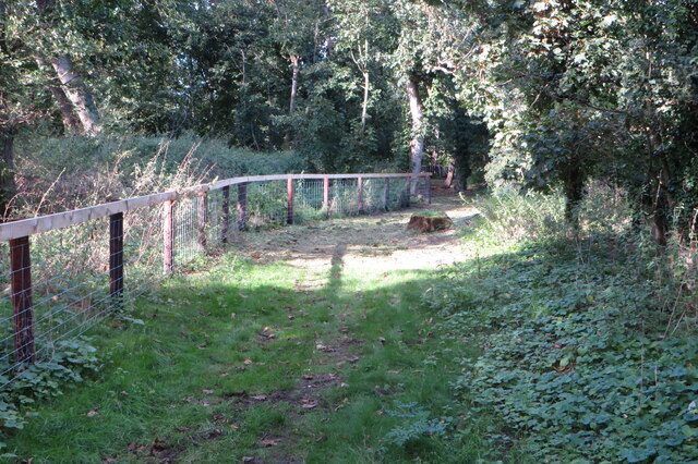
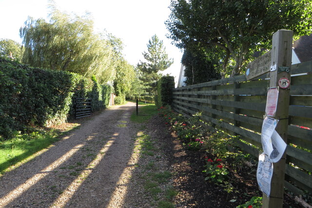
The spinney is crisscrossed by a network of well-maintained footpaths, making it easily accessible for visitors. These paths meander through the woodland, offering opportunities for peaceful strolls and exploring its hidden corners. Birdwatchers will be delighted by the diverse avian population, with species such as woodpeckers, thrushes, and warblers frequently spotted.

Tobaccopipe Spinney is not only a haven for wildlife but also a popular spot for recreational activities. The forest is well-equipped with picnic areas, benches, and designated barbecue spots, making it an ideal destination for family outings and social gatherings. Additionally, the spinney is equipped with a children's play area, providing entertainment for younger visitors.

Whether seeking tranquility in nature, engaging in outdoor activities, or simply immersing oneself in the beauty of the woodlands, Tobaccopipe Spinney offers a delightful escape into the heart of Bedfordshire's natural wonders.

If you have any feedback on the listing, please let us know in the comments section below.

Tobaccopipe Spinney Images

Images are sourced within 2km of 52.093165/-0.34545253 or Grid Reference TL1345. Thanks to Geograph Open Source API. All images are credited.

Bridleway up towards Shuttleworth College
Bridleway towards the airfield
Bridleway heading east
A splash of autumn on Warden Road
Permissive path alongside the road to Old Warden
Waymarker detail form photograph [[6985073]]
Ickwell Bury
Ickwell Bury
Permissive bridleway towards Old Warden
Permissive bridleway heading north
Greensand Ridge Walk coming in to Northill
Northill village pond
Thatched cottage in Ickwell Green With boxing hares and aeroplane roof ornaments
Thatched cottage in Ickwell Green
With boxing hares and aeroplane roof ornaments
North Bedfordshire Heritage Trail
Church End : thatched cottage Grade II listed - <span class="nowrap"><a title="https://historicengland.org.uk/listing/the-list/list-entry/1222403" rel="nofollow ugc noopener" href="https://historicengland.org.uk/listing/the-list/list-entry/1222403">Link</a><img style="margin-left:2px;" alt="External link" title="External link - shift click to open in new window" src="https://s1.geograph.org.uk/img/external.png" width="10" height="10"/></span>.
Church End : thatched cottage
Grade II listed - LinkExternal link.
Old Warden : Shuttleworth  College Built as Old Warden Park 1875-1880 to a design by architect Henry Clutton.
Old Warden : Shuttleworth College
Built as Old Warden Park 1875-1880 to a design by architect Henry Clutton.
Old Warden : Shuttleworth College
Church End : Ongley Mausoleum Situated in the churchyard of St Leonard's Church, the Ongley family mausoleum is Grade II listed - <span class="nowrap"><a title="https://historicengland.org.uk/listing/the-list/list-entry/1222432?section=official-list-entry" rel="nofollow ugc noopener" href="https://historicengland.org.uk/listing/the-list/list-entry/1222432?section=official-list-entry">Link</a><img style="margin-left:2px;" alt="External link" title="External link - shift click to open in new window" src="https://s1.geograph.org.uk/img/external.png" width="10" height="10"/></span>.
Church End : Ongley Mausoleum
Situated in the churchyard of St Leonard's Church, the Ongley family mausoleum is Grade II listed - LinkExternal link.
Church End : Church of St Leonard Grade I listed - extensively described at this <span class="nowrap"><a title="https://historicengland.org.uk/listing/the-list/list-entry/1274774?section=official-list-entry" rel="nofollow ugc noopener" href="https://historicengland.org.uk/listing/the-list/list-entry/1274774?section=official-list-entry">Link</a><img style="margin-left:2px;" alt="External link" title="External link - shift click to open in new window" src="https://s1.geograph.org.uk/img/external.png" width="10" height="10"/></span>.
Church End : Church of St Leonard
Grade I listed - extensively described at this LinkExternal link.
Show me another place!

Tobaccopipe Spinney is located at Grid Ref: TL1345 (Lat: 52.093165, Lng: -0.34545253)

Unitary Authority: Central Bedfordshire

Police Authority: Bedfordshire

What 3 Words

///costs.motor.forgotten. Near Southill, Bedfordshire

Related Wikis

Old Warden Castle

Old Warden Castle, also known as Quince Hill, is located in the village of Old Warden, in the county of Bedfordshire, England. It is uncertain whether...

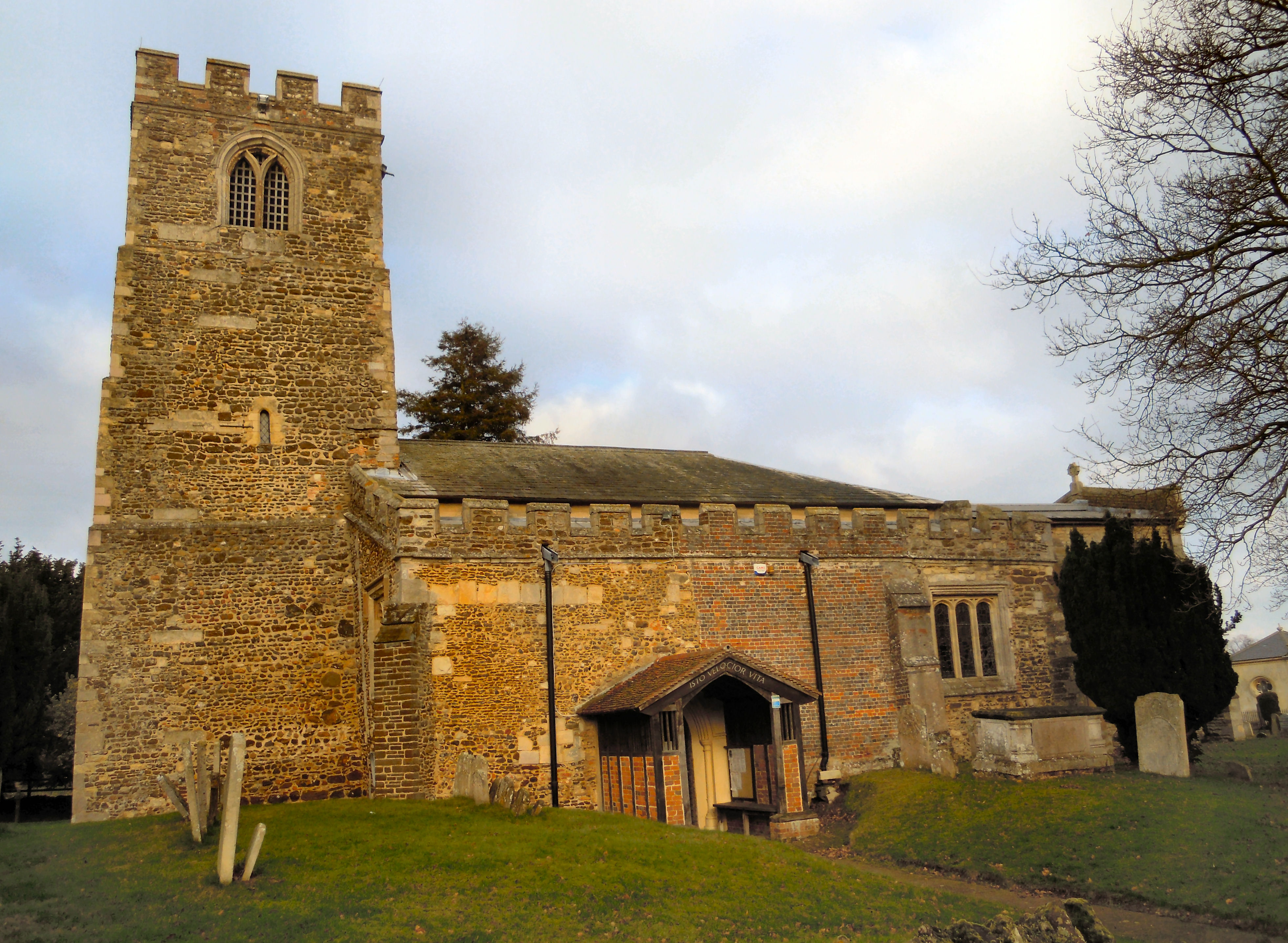
Church of St Leonard, Old Warden

The Abbey Church of St Leonard of Old Warden is a Grade I listed church in Old Warden, Bedfordshire, England. It became a listed building on 31 October...
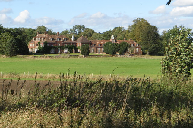
Ickwell Bury

Ickwell Bury, at the heart of the former manor of Ickwell, Bedfordshire, was first built by John Harvey in 1683 near the site of an older manor house....
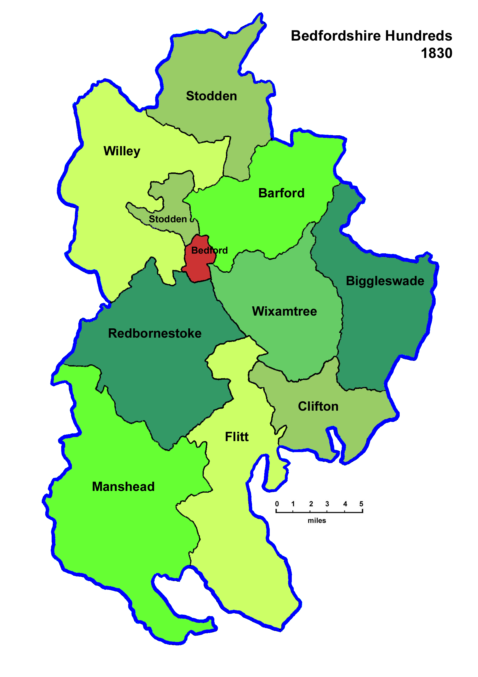
Wixamtree

Wixamtree is an ancient hundred located in Bedfordshire, England. Wixamtree was one of the hundreds of Bedfordshire, with its council being the primary...

Nearby Amenities

Located within 500m of 52.093165,-0.34545253
Place: farm
Lat/Long: 52.0898921/-0.3439254
Building: yes
Lat/Long: 52.0954422/-0.3409857
Marker: yes
Ref: GPSS?
Lat/Long: 52.0964146/-0.340984
The data included in this document is from www.openstreetmap.org. The data is made available under ODbL.

Have you been to Tobaccopipe Spinney?

Leave your review of Tobaccopipe Spinney below (or comments, questions and feedback).