Westfield Wood

Wood, Forest in Hertfordshire St. Albans

England

Westfield Wood

Dalkeith Road c.1930s housing.
Dalkeith Road Credit: Ian Capper

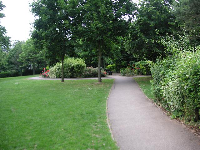
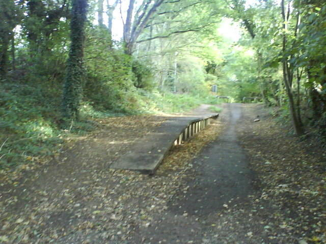
Westfield Wood is a picturesque forest located in Hertfordshire, England. Covering an area of approximately 50 hectares, the wood is a popular destination for nature enthusiasts and hikers alike.

The woodland is predominantly composed of native broadleaf trees, such as oak, beech, and ash, creating a vibrant and diverse ecosystem. The forest floor is adorned with a variety of flora, including bluebells, primroses, and wild garlic, which create a stunning display during the spring months.

Westfield Wood is home to numerous species of wildlife, providing a haven for both resident and migratory birds. Birdwatchers can spot species like woodpeckers, tawny owls, and nuthatches, among others. Small mammals such as squirrels, rabbits, and voles can also be observed scurrying through the undergrowth.

The wood offers a network of well-maintained footpaths and trails, allowing visitors to explore the area at their own pace. There are also designated picnic areas and benches dotted throughout the woodland, providing opportunities for visitors to relax and enjoy the tranquil surroundings.

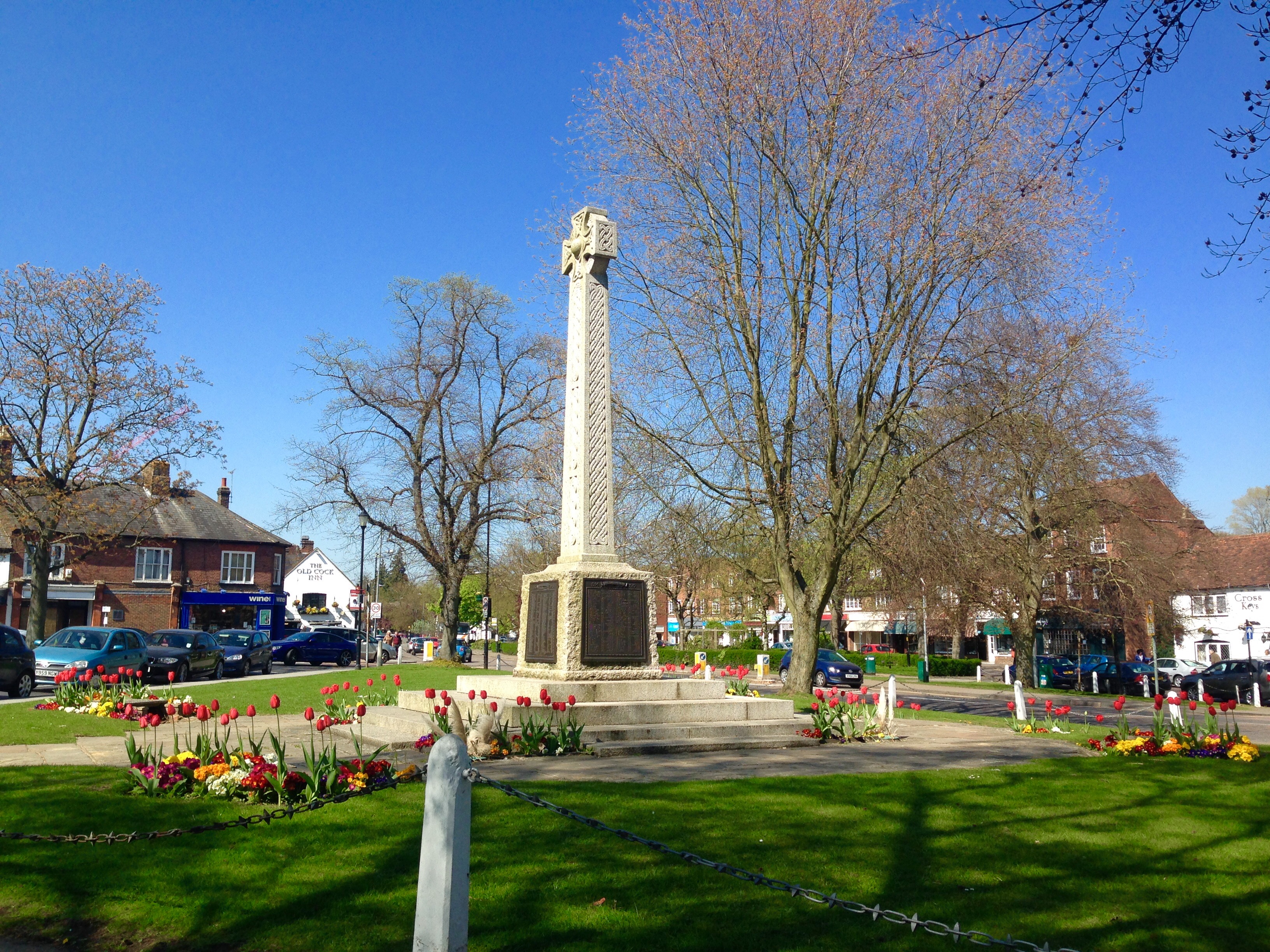
In addition to its natural beauty, Westfield Wood has historical significance. It is believed that the wood has been in existence for centuries, with evidence of human activity dating back to the Bronze Age. The remains of ancient earthworks and ditches can still be seen in some areas, adding an intriguing element to the woodland experience.

Overall, Westfield Wood in Hertfordshire is a captivating destination for those seeking a peaceful retreat amidst nature's wonders. Its combination of stunning landscapes, diverse wildlife, and historical features make it an ideal spot for both leisurely walks and educational exploration.

If you have any feedback on the listing, please let us know in the comments section below.

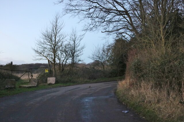
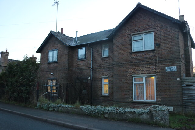
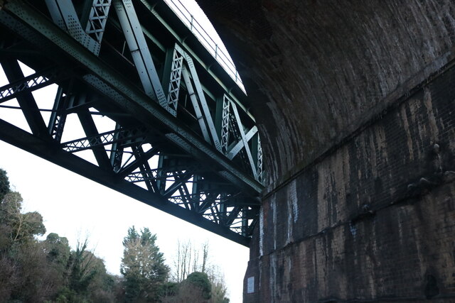
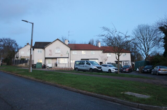
Westfield Wood Images

Images are sourced within 2km of 51.829833/-0.35806615 or Grid Reference TL1315. Thanks to Geograph Open Source API. All images are credited.

Dalkeith Road c.1930s housing.
Dalkeith Road
c.1930s housing.
Connaught Road c.1930s housing.
Connaught Road
c.1930s housing.
Junction on Common Lane, Batford
Field in Batford
Field in Batford
Common Lane, Bower Heath
Viaduct Cottages, East Hyde
Chiltern Green Viaduct The second brick line has been replaced by the metal section just crossing the road.
Chiltern Green Viaduct
The second brick line has been replaced by the metal section just crossing the road.
Coldharbour Lane, Harpenden
Batford Road at the junction of Lower Luton Road
Houses on Pickford Hill, Batford
Pickford Hill, Batford
Traffic island on Pickford Hill, Batford
Pickford Hill, Batford
Houses on Finley Road, Batford
Westfield Avenue, Harpenden
Westfield Road, Harpenden The railway is behind the barrier
Westfield Road, Harpenden
The railway is behind the barrier
House on Ox Lane, Harpenden
Show me another place!

Westfield Wood is located at Grid Ref: TL1315 (Lat: 51.829833, Lng: -0.35806615)

Administrative County: Hertfordshire

District: St. Albans

Police Authority: Hertfordshire

What 3 Words

///mostly.month.just. Near Harpenden, Hertfordshire

Nearby Locations

Westfield Wood

Related Wikis

The King's School (Harpenden)

The King's School, Harpenden is a co-educational independent school for pupils aged four to sixteen, located to the north of Harpenden in Hertfordshire...

St George's School, Harpenden

St George's School, Harpenden (also known as St George's) is a non-selective state day and boarding school in Harpenden, Hertfordshire, England, educating...

Lydekker Park

Lydekker Park is a 3-acre (1.2 ha) park in Harpenden, Hertfordshire. The land was formerly part of the garden of Harpenden Lodge, built in 1803, home...

Sir John Lawes School

Sir John Lawes School (also known as SJL) is a mixed state secondary school with academy status in Harpenden, United Kingdom. The school has close links...

Bower Heath

Bower Heath is a hamlet in Hertfordshire, England. It is in the civil parish of Harpenden

Harpenden East railway station

Harpenden East was one of two stations serving the town of Harpenden, the other station which remains open being Harpenden Central. Originally named Harpenden...

Roundwood Halt railway station

Roundwood Halt railway station co-served the town of Harpenden, Hertfordshire, England from 1927 to 1949 on the Nickey Line. == History == The station...

Harpenden

Harpenden () is a town and civil parish in the City and District of St Albans in the county of Hertfordshire, England. The population of the built-up area...

Nearby Amenities

Located within 500m of 51.829833,-0.35806615
Direction: backward
Traffic Calming: chicane
Lat/Long: 51.8288618/-0.3510334
Mini Roundabout
Lat/Long: 51.8258368/-0.3549703
Post Box
Collection Times: Mo-Fr 09:00, Sa 07:00
Post Box Mounting: brick_pillar
Post Box Type: wall
Ref: AL5 45D
Royal Cypher: EIIR
Royal Cypher Wikidata: Q33102113
Lat/Long: 51.8285775/-0.3515456
Bus Stop
Masefield Road
Bus: yes
Local Ref: NR
Naptan AtcoCode: 210021500170
Naptan Bearing: SW
Naptan CommonName: Masefield Road
Naptan Crossing: opp Cemetery
Naptan Indicator: nr
Naptan Landmark: opp Cemetery
Naptan NaptanCode: hrtgwadw
Naptan PlusbusZoneRef: HRPNDN
Naptan ShortCommonName: NA
Naptan Street: Westfield Road
Naptan Verified: no
Public Transport: platform
Source: naptan_import
Lat/Long: 51.8276697/-0.3527325
Bus Stop
Dell Close
Bus: yes
Naptan AtcoCode: 210021511590
Naptan Bearing: NE
Naptan CommonName: Dell Close
Naptan Crossing: Lindley Close
Naptan Indicator: opp
Naptan Landmark: Lindley Close
Naptan NaptanCode: hrtatgtm
Naptan PlusbusZoneRef: HRPNDN
Naptan ShortCommonName: NA
Naptan Street: Westfield Road
Naptan Verified: no
Public Transport: platform
Source: naptan_import
Lat/Long: 51.8263637/-0.3545071
Bicycle Parking
Capacity: 6
Covered: no
Fee: no
Lat/Long: 51.8276711/-0.359782
Entrance: main
Lat/Long: 51.8295626/-0.3535416
Entrance: yes
Lat/Long: 51.8294899/-0.3534056
Entrance: emergency
Lat/Long: 51.8295894/-0.3539796
Entrance: yes
Lat/Long: 51.8293318/-0.3538166
Entrance: yes
Lat/Long: 51.829371/-0.3538551
Clock
Date: no
Display: analog
Faces: 1
Indoor: no
Lit: yes
Support: wall
Visibility: area
Lat/Long: 51.8262702/-0.3583414
Access: private
Entrance: yes
Lat/Long: 51.8267302/-0.3582799
Bicycle Parking
Access: permissive
Bicycle Parking: wall_loops
Capacity: 6
Covered: no
Fee: no
Operator: Youth With A Mission Harpenden
Lat/Long: 51.8256465/-0.3572665
Access: permissive
Entrance: main
Lat/Long: 51.8259305/-0.3576818
Location Transition: yes
Power: pole
Lat/Long: 51.8310517/-0.3554752
Power: pole
Lat/Long: 51.8321659/-0.3553062
Power: pole
Lat/Long: 51.8327125/-0.3552317
Location Transition: yes
Power: pole
Lat/Long: 51.8310844/-0.3552404
Power: pole
Lat/Long: 51.8322751/-0.3547523
Power: pole
Lat/Long: 51.8334915/-0.3542444
Barrier: kissing_gate
Foot: designated
Lat/Long: 51.8268221/-0.3622477
Barrier: kissing_gate
Foot: designated
Lat/Long: 51.8268313/-0.3614844
Barrier: kissing_gate
Foot: designated
Lat/Long: 51.8272263/-0.3626698
Crossing
Crossing: marked
Crossing Island: no
Tactile Paving: yes
Lat/Long: 51.8266155/-0.3616978
Access: private
Barrier: swing_gate
Swing Gate Type: double
Vehicle: private
Lat/Long: 51.8274036/-0.3592687
Bench
Backrest: yes
Material: wood
Lat/Long: 51.8307141/-0.3562667
Direction: backward
Traffic Calming: chicane
Lat/Long: 51.8276957/-0.3527572
Direction: 140
Generator Method: photovoltaic
Generator Output Electricity: yes
Generator Solar Modules: 8
Generator Source: solar
Generator Type: solar_photovoltaic_panel
Location: roof
Power: generator
Lat/Long: 51.8298035/-0.3528415
Direction: 150
Generator Method: photovoltaic
Generator Output Electricity: yes
Generator Solar Modules: 16
Generator Source: solar
Generator Type: solar_photovoltaic_panel
Location: roof
Power: generator
Lat/Long: 51.8298704/-0.3545343
Direction: 140
Generator Method: photovoltaic
Generator Output Electricity: yes
Generator Solar Modules: 9
Generator Source: solar
Generator Type: solar_photovoltaic_panel
Location: roof
Power: generator
Lat/Long: 51.8307404/-0.3551006
Direction: 145
Generator Method: photovoltaic
Generator Output Electricity: yes
Generator Solar Modules: 11
Generator Source: solar
Generator Type: solar_photovoltaic_panel
Location: roof
Power: generator
Lat/Long: 51.8308443/-0.3548189
Direction: 190
Generator Method: photovoltaic
Generator Output Electricity: yes
Generator Solar Modules: 11
Generator Source: solar
Generator Type: solar_photovoltaic_panel
Location: roof
Power: generator
Lat/Long: 51.831418/-0.3533985
Direction: 150
Generator Method: photovoltaic
Generator Output Electricity: yes
Generator Solar Modules: 8
Generator Source: solar
Generator Type: solar_photovoltaic_panel
Location: roof
Power: generator
Lat/Long: 51.8306502/-0.3530758
Direction: 240
Generator Method: photovoltaic
Generator Output Electricity: yes
Generator Solar Modules: 8
Generator Source: solar
Generator Type: solar_photovoltaic_panel
Location: roof
Power: generator
Lat/Long: 51.8306572/-0.3531512
Direction: 150
Generator Method: photovoltaic
Generator Output Electricity: yes
Generator Solar Modules: 12
Generator Source: solar
Generator Type: solar_photovoltaic_panel
Location: roof
Power: generator
Lat/Long: 51.8306024/-0.3532564
Direction: 135
Generator Method: photovoltaic
Generator Output Electricity: yes
Generator Solar Modules: 12
Generator Source: solar
Generator Type: solar_photovoltaic_panel
Location: roof
Power: generator
Lat/Long: 51.8267511/-0.362688
Grit Bin
Lat/Long: 51.8284563/-0.3517576
Man Made: street_cabinet
Lat/Long: 51.8284601/-0.3517837
Barrier: swing_gate
Bicycle: no
Foot: permissive
Horse: no
Motor Vehicle: no
Swing Gate Type: single
Lat/Long: 51.8261374/-0.3568827
Bench
Backrest: yes
Material: wood
Seats: 2
Lat/Long: 51.8270619/-0.357855
Defibrillator
Access: yes
Defibrillator Location: Inside vestibule
Emergency: defibrillator
Indoor: yes
Level: 0
Opening Hours: Mo-Sa 08:00-20:00; Su 08:00-13:00
Operator: Youth With A Mission Harpeden
Lat/Long: 51.8262681/-0.3583314
Bench
Backrest: yes
Material: wood
Seats: 2
Lat/Long: 51.8271118/-0.358011
Man Made: cross
Material: wood
Lat/Long: 51.826745/-0.3579632
Bench
Backrest: yes
Material: wood
Seats: 2
Lat/Long: 51.8264614/-0.3562273
Street Lamp
Lamp Mount: straight_mast
Lat/Long: 51.8258343/-0.3586818
Board Type: notice
Information: board
Tourism: information
Lat/Long: 51.8262198/-0.3568894
Board Type: history
Information: board
Tourism: information
Lat/Long: 51.8264359/-0.3584937
Street Lamp
Lamp Mount: straight_mast
Lat/Long: 51.8263437/-0.3584504
Board Type: rules
Information: board
Tourism: information
Lat/Long: 51.8261228/-0.3583101
Street Lamp
Lamp Mount: straight_mast
Lat/Long: 51.8268144/-0.3591645
Street Lamp
Lamp Mount: straight_mast
Lat/Long: 51.826321/-0.3607993
Access: permissive
Door: hinged
Entrance: main
Lat/Long: 51.826269/-0.3583716
Entrance: emergency
Lat/Long: 51.8259364/-0.3572435
Access: private
Entrance: main
Lat/Long: 51.8268923/-0.3591121
Access: private
Entrance: yes
Lat/Long: 51.8266482/-0.3585008
Access: private
Entrance: yes
Lat/Long: 51.8265303/-0.358409
Traffic Calming: hump
Lat/Long: 51.8258961/-0.3578854
Traffic Calming: hump
Lat/Long: 51.8261487/-0.3583558
Entrance: main
Lat/Long: 51.8260848/-0.3611562
Street Lamp
Lamp Mount: straight_mast
Lat/Long: 51.825541/-0.3598574
Street Lamp
Lamp Mount: straight_mast
Lat/Long: 51.8256359/-0.3592597
Access: private
Entrance: main
Lat/Long: 51.8266546/-0.3581156
Access: private
Entrance: main
Lat/Long: 51.8268428/-0.3586058
Access: private
Entrance: yes
Lat/Long: 51.8267206/-0.3581741
Entrance: service
Lat/Long: 51.8269982/-0.3592471
Bench
Backrest: yes
Material: wood
Seats: 2
Lat/Long: 51.8262629/-0.358357
Street Lamp
Lamp Mount: straight_mast
Lat/Long: 51.8266242/-0.3600244
Waste Basket
Waste: trash
Lat/Long: 51.8263779/-0.3583494
Waste Basket
Waste: trash
Lat/Long: 51.8262795/-0.3583486
Access: private
Entrance: yes
Lat/Long: 51.8257032/-0.3575938
Bench
Backrest: yes
Material: wood
Seats: 2
Lat/Long: 51.8265764/-0.3585006
Bench
Backrest: yes
Material: wood
Seats: 2
Lat/Long: 51.8291832/-0.3571895
Bench
Backrest: yes
Lat/Long: 51.8258519/-0.3576584
The data included in this document is from www.openstreetmap.org. The data is made available under ODbL.

Have you been to Westfield Wood?

Leave your review of Westfield Wood below (or comments, questions and feedback).