Hoe's Wood

Wood, Forest in Sussex Horsham

England

Hoe's Wood

Crumbling bridge This bridge carrying a farm track and Bridleway 1911 over a young River Adur could be in better repair.
Crumbling bridge Credit: Robin Webster

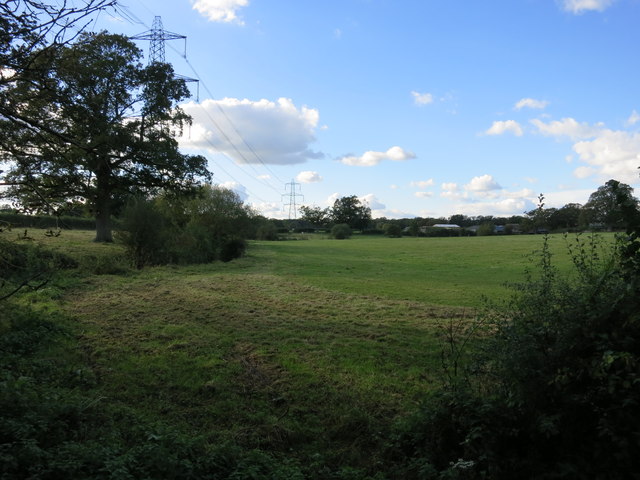
Hoe's Wood, located in Sussex, England, is a picturesque forest that encompasses an area of approximately 50 acres. Nestled in the heart of the South Downs National Park, this wood is renowned for its natural beauty and diverse wildlife.

The woodland is primarily composed of ancient broad-leaved trees, including oak, beech, and ash. These majestic trees create a dense canopy that provides shade and shelter for a variety of flora and fauna. The forest floor is adorned with a rich carpet of bluebells during the spring, transforming the area into a sea of vibrant colors.

Hoe's Wood is a haven for wildlife enthusiasts, as it is home to an array of animal species. Deer, badgers, and foxes can often be spotted roaming through the undergrowth, while a plethora of bird species, such as woodpeckers and owls, can be heard singing their melodies from the treetops.

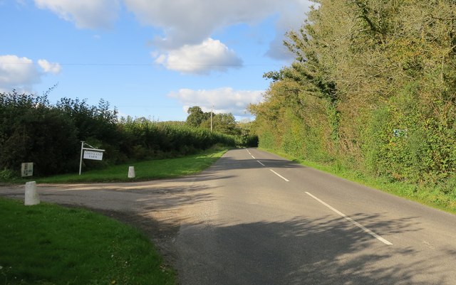
The wood offers a network of well-maintained walking trails, making it a popular destination for hikers and nature lovers. Visitors can explore the serene surroundings and immerse themselves in the tranquility of nature. The enchanting atmosphere of the wood also makes it an ideal spot for photography and painting enthusiasts, capturing the essence of its natural beauty.

Hoe's Wood not only provides a sanctuary for wildlife but also serves as a vital ecological resource. The forest contributes to air purification, carbon sequestration, and soil erosion control, making it an invaluable asset in the preservation of the local ecosystem.

Overall, Hoe's Wood is a captivating destination that combines natural beauty, biodiversity, and recreational opportunities, offering a peaceful retreat for those seeking solace in nature.

If you have any feedback on the listing, please let us know in the comments section below.
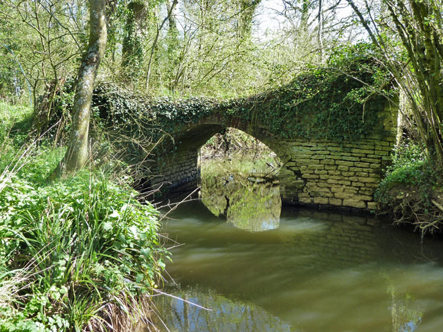
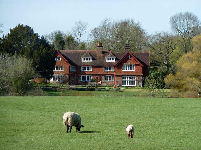
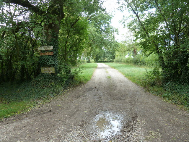
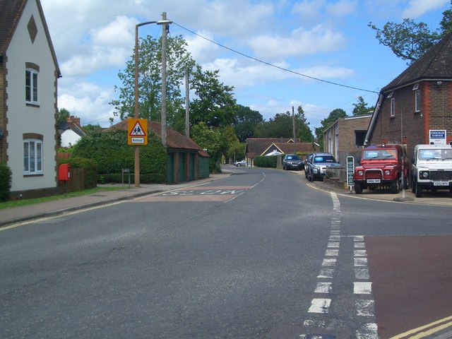
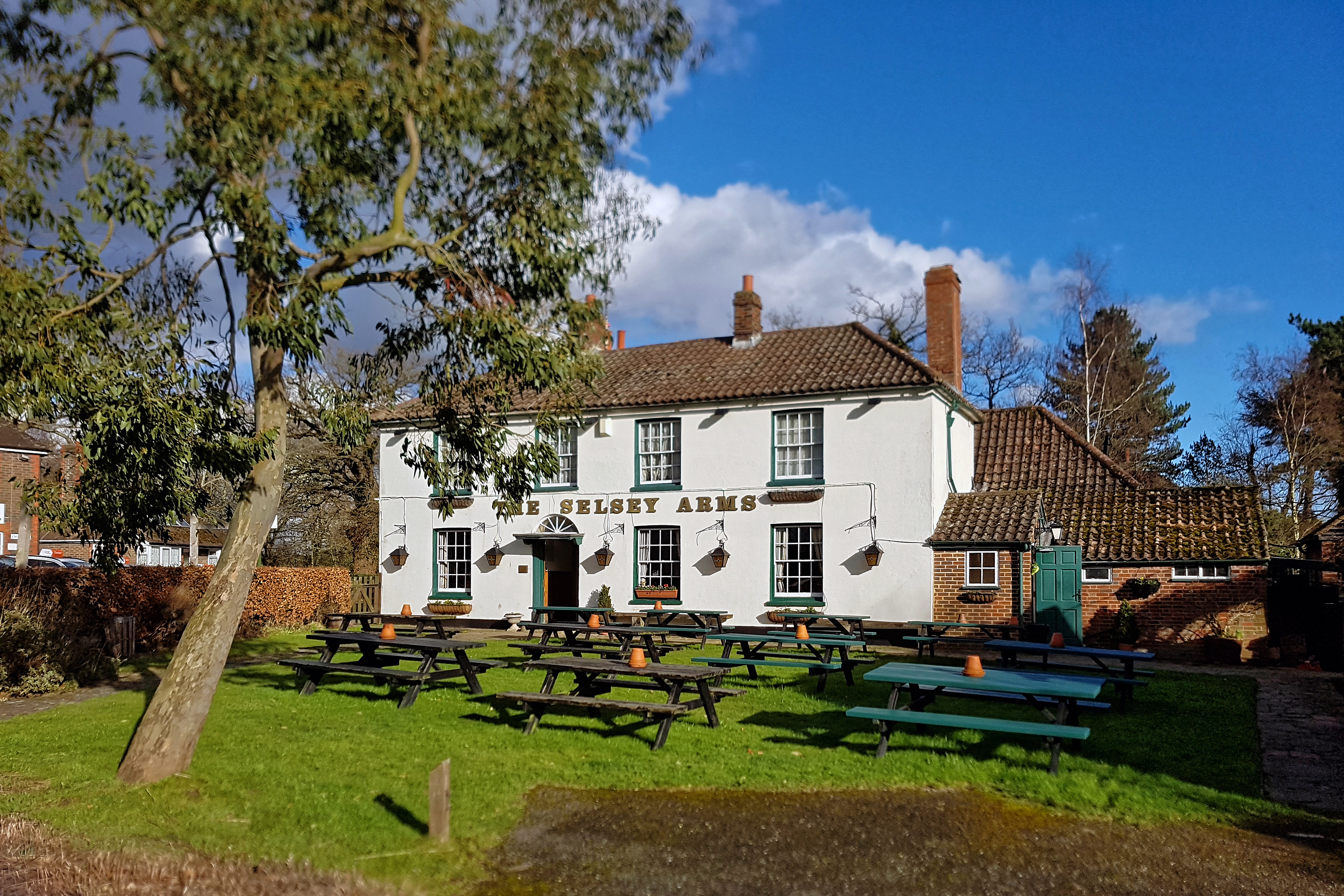
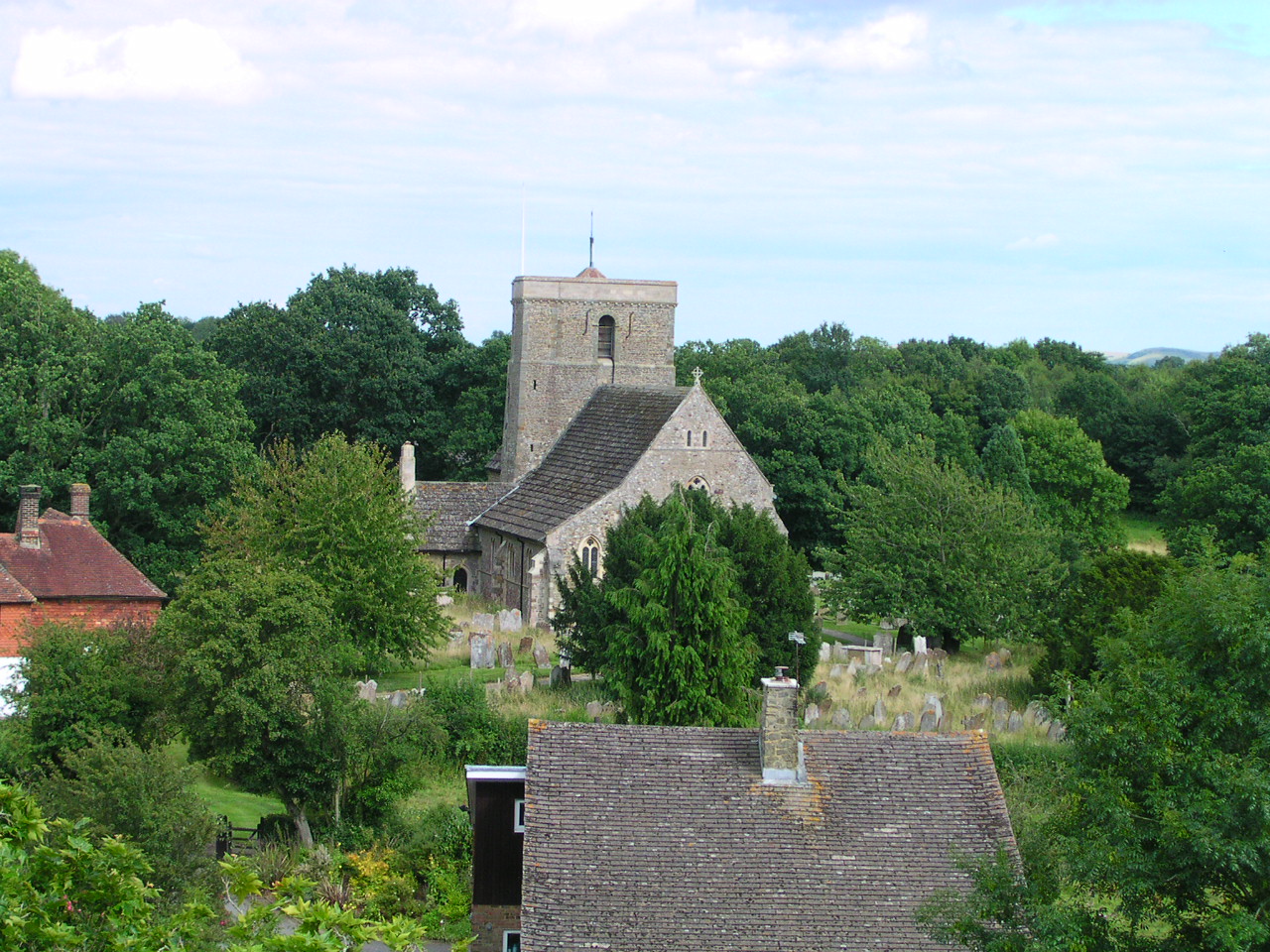
Hoe's Wood Images

Images are sourced within 2km of 51.000477/-0.38754229 or Grid Reference TQ1323. Thanks to Geograph Open Source API. All images are credited.

Crumbling bridge This bridge carrying a farm track and Bridleway 1911 over a young River Adur could be in better repair.
Crumbling bridge
This bridge carrying a farm track and Bridleway 1911 over a young River Adur could be in better repair.
Earthworking, Coolham According to aerial photographs, a few years ago this field housed a dirt track for some sort of vehicle racing. Now what appears to be chalk marl or possibly gypsum waste is being spread and covered with a thin layer of native soil. Is this to improve the poor Weald Clay drainage for a project such as a golf course? The field seems too small for this.
Earthworking, Coolham
According to aerial photographs, a few years ago this field housed a dirt track for some sort of vehicle racing. Now what appears to be chalk marl or possibly gypsum waste is being spread and covered with a thin layer of native soil. Is this to improve the poor Weald Clay drainage for a project such as a golf course? The field seems too small for this.
St Cuthman's and the lamb of God The establishment is a "retreat" run by the Roman Catholic Church, but advertised as open to all denominations or none.
St Cuthman's and the lamb of God
The establishment is a "retreat" run by the Roman Catholic Church, but advertised as open to all denominations or none.
Memorial trees by former Coolham airfield Most of the trees along the path and several more behind the viewpoint are memorials to those who died working out of Coolham A.L.G. Airfield in spring 1944. The end of the airfield is on the right, although there is no sign of it now, apart from the arrangement of fence lines and rights-of-way around a large level area. This was a temporary airfield for D-day purposes, A.L.G. standing for Advanced Landing Ground. The dead were eight from the Polish Air Force and seven from the RAF.
Memorial trees by former Coolham airfield
Most of the trees along the path and several more behind the viewpoint are memorials to those who died working out of Coolham A.L.G. Airfield in spring 1944. The end of the airfield is on the right, although there is no sign of it now, apart from the arrangement of fence lines and rights-of-way around a large level area. This was a temporary airfield for D-day purposes, A.L.G. standing for Advanced Landing Ground. The dead were eight from the Polish Air Force and seven from the RAF.
Footpath 1904/2 to Emms Farm and Courtlands Farm
Post Box Coolham crossroads Post Box RH13 130 Coolham
Post Box Coolham crossroads
Post Box RH13 130 Coolham
A272 at Coolham Coolham Crossroads. The way to Billingshurst.
A272 at Coolham
Coolham Crossroads. The way to Billingshurst.
Coolham Crossroads Coolham Road towards Brooks Green at the Coolham Crossroads
Coolham Crossroads
Coolham Road towards Brooks Green at the Coolham Crossroads
Coolham Crossroads The B2139 towards Thakeham.
Coolham Crossroads
The B2139 towards Thakeham.
A272 at Coolham Towards West Grinstead and Cowfold
A272 at Coolham
Towards West Grinstead and Cowfold
Bench Cut Mark On The Selsey Arms Public House
Bench Cut Mark
On The Selsey Arms Public House
War Memorial At Coolham Crossroads
War Memorial
At Coolham Crossroads
The Selsey Arms, Coolham For some information on this pub see <span class="nowrap"><a title="http://www.horshampub.co.uk/selsey-arms.php" rel="nofollow ugc noopener" href="http://www.horshampub.co.uk/selsey-arms.php">Link</a><img style="margin-left:2px;" alt="External link" title="External link - shift click to open in new window" src="https://s1.geograph.org.uk/img/external.png" width="10" height="10"/></span> .
The Selsey Arms, Coolham
For some information on this pub see LinkExternal link .
Post Box RH13 24 Shipley Paygate
Post Box
RH13 24 Shipley Paygate
Bridleway BW1894 Off Shipley Road through Goffsland Farm (sign is almost hidden in the hedgerow)
Bridleway BW1894
Off Shipley Road through Goffsland Farm (sign is almost hidden in the hedgerow)
Goffsland Farm From Hartsgravel Bridge on Shipley Road
Goffsland Farm
From Hartsgravel Bridge on Shipley Road
Public Footpath FP1957 Off Shipley Road
Public Footpath FP1957
Off Shipley Road
A272 West From Shipley Paygate
A272 West
From Shipley Paygate
Show me another place!

Hoe's Wood is located at Grid Ref: TQ1323 (Lat: 51.000477, Lng: -0.38754229)

Administrative County: West Sussex

District: Horsham

Police Authority: Sussex

What 3 Words

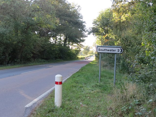
///guessing.tones.stun. Near Southwater, West Sussex

Nearby Locations

Buzland Copse Hoe's Wood

Related Wikis

Dragon's Green

Dragon's Green is a hamlet in the civil parish of Shipley, and the Horsham district of West Sussex, England. The hamlet is 5 miles (8 km) south from the...

Newbuildings Place

Newbuildings Place is a 17th-century Artisan Mannerist house near Shipley, West Sussex. The house is a former home of Wilfrid Scawen Blunt, who is buried...

Parson's Brook

Parson's Brook is a minor river (brook) located in the Horsham District of West Sussex, England. It is a tributary to the River Adur. == Course == The...

Brooks Green

Brooks Green is a hamlet in the Shipley civil parish of the Horsham District of West Sussex, England. It is in the north-west of the parish, approximately...

Coolham

Coolham is a small village in the civil parish of Shipley and the Horsham District of West Sussex, England. It is located at the crossroads of the A272...

RAF Coolham

Royal Air Force Coolham or more simply RAF Coolham is a former Royal Air Force Advanced Landing Ground located in West Sussex, England. The following units...

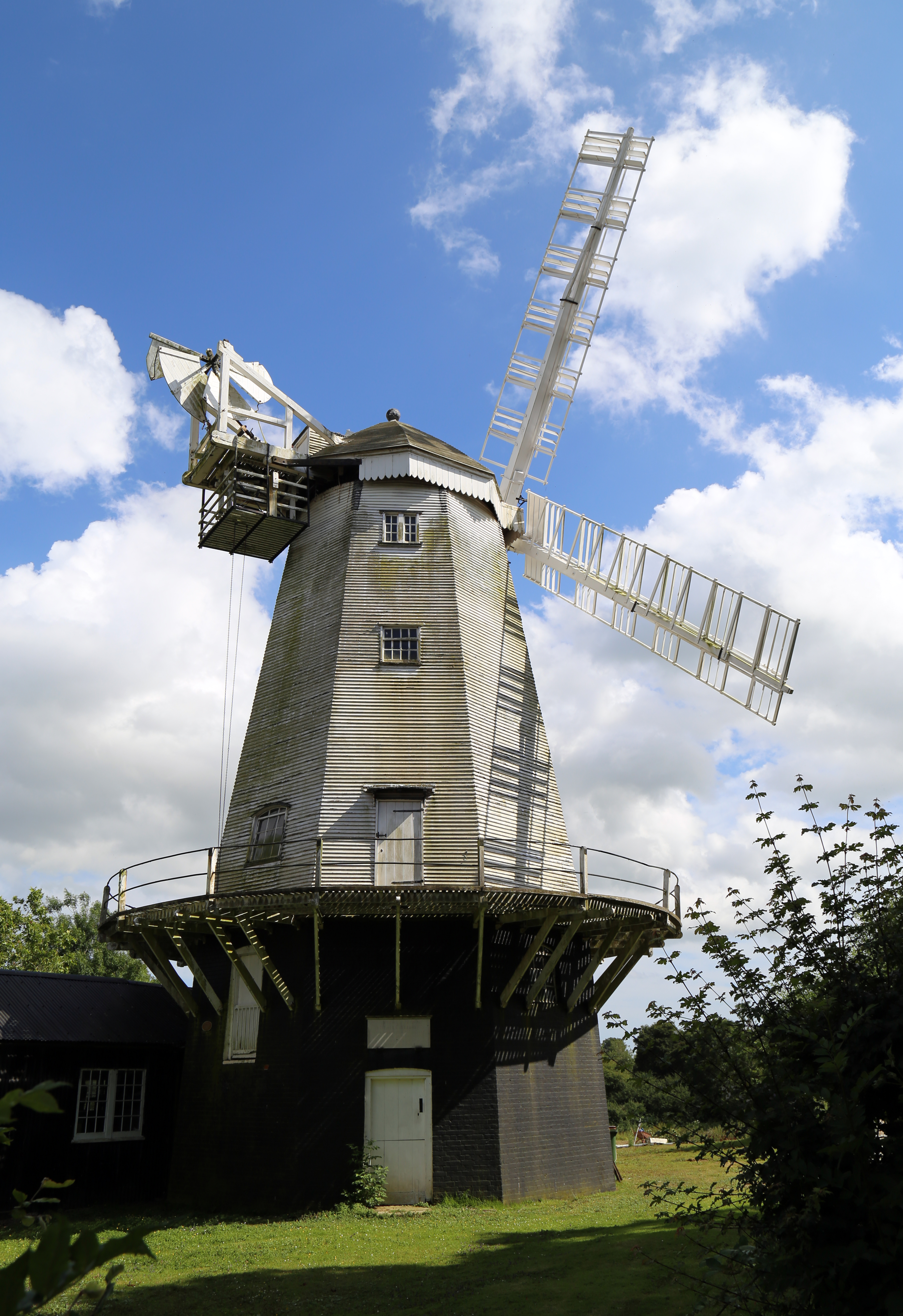
King's Mill, Shipley

King's Mill or Vincent's Mill, Shipley, West Sussex, England, is a smock mill built in 1879. == History == King's Mill was built in 1879 for Friend Martin...

Shipley, West Sussex

Shipley is a village and civil parish in the Horsham District of West Sussex, England. It lies just off the A272 road 6 miles (10 kilometres) north-east...

Nearby Amenities

Located within 500m of 51.000477,-0.38754229
Hoes Farm
Place: farm
Wikidata: Q26277894
Lat/Long: 50.9980225/-0.3915494
Power: pole
Lat/Long: 51.0029109/-0.3933629
Power: pole
Lat/Long: 51.0017575/-0.3931349
Power: pole
Lat/Long: 51.0010528/-0.3932601
Power: pole
Lat/Long: 51.0000991/-0.3934389
Power: pole
Lat/Long: 50.9986682/-0.3921436
Baker's Farm
Place: farm
Lat/Long: 51.0040432/-0.388525
Addr Housename: Baker's Cottages
Addr Street: Bakers Lane
Lat/Long: 51.0036733/-0.3836783
The data included in this document is from www.openstreetmap.org. The data is made available under ODbL.

Have you been to Hoe's Wood?

Leave your review of Hoe's Wood below (or comments, questions and feedback).