Bottom Wood

Wood, Forest in Bedfordshire

England

Bottom Wood

The Ridgeway west of Sandy
The Ridgeway west of Sandy Credit: David Howard

Bottom Wood is a picturesque woodland located in the county of Bedfordshire, England. Spread across an area of approximately 50 hectares, this forest is a haven for nature enthusiasts and offers a tranquil escape from the hustle and bustle of nearby towns and cities.

The wood is primarily made up of deciduous trees, including oak, birch, and beech, which create a diverse and vibrant canopy during the summer months. A network of well-maintained footpaths and trails winds through the wood, allowing visitors to explore its natural beauty at their own pace. These paths also provide access to various viewpoints, offering stunning vistas of the surrounding countryside.

Bottom Wood is home to a wide range of wildlife, making it an ideal spot for birdwatching and animal spotting. Rare species such as the lesser spotted woodpecker and the purple emperor butterfly have been observed within the wood's boundaries. Nature enthusiasts can also expect to see deer, foxes, and a variety of woodland birds.

The wood is managed by a local conservation trust, which ensures that the natural habitat is protected and preserved for future generations. The trust organizes regular events and guided walks to educate visitors about the importance of conservation and the rich biodiversity found within the wood.

Overall, Bottom Wood in Bedfordshire offers a peaceful retreat for those seeking to connect with nature. With its stunning scenery, diverse flora and fauna, and commitment to conservation, it is a true gem for outdoor enthusiasts and a testament to the beauty of England's woodlands.

If you have any feedback on the listing, please let us know in the comments section below.

Bottom Wood Images

Images are sourced within 2km of 52.126859/-0.34820763 or Grid Reference TL1348. Thanks to Geograph Open Source API. All images are credited.

The Ridgeway west of Sandy
Moggerhanger : Church of St John the Evangelist Grade II listed - built 1860-1 to a design by architect William Slater. <span class="nowrap"><a title="https://historicengland.org.uk/listing/the-list/list-entry/1321720?section=official-list-entry" rel="nofollow ugc noopener" href="https://historicengland.org.uk/listing/the-list/list-entry/1321720?section=official-list-entry">Link</a><img style="margin-left:2px;" alt="External link" title="External link - shift click to open in new window" src="https://s1.geograph.org.uk/img/external.png" width="10" height="10"/></span>. More on the history of this church at this <span class="nowrap"><a title="https://moggerhanger.uk/church/" rel="nofollow ugc noopener" href="https://moggerhanger.uk/church/">Link</a><img style="margin-left:2px;" alt="External link" title="External link - shift click to open in new window" src="https://s1.geograph.org.uk/img/external.png" width="10" height="10"/></span>.
Moggerhanger : Church of St John the Evangelist
Grade II listed - built 1860-1 to a design by architect William Slater. LinkExternal link. More on the history of this church at this LinkExternal link.
Lock near Willington As seen from a footpath (which is part of the national cycle network).
Lock near Willington
As seen from a footpath (which is part of the national cycle network).
Blunham Road, Chalton, Beds Chalton Farm is on the left.
Blunham Road, Chalton, Beds
Chalton Farm is on the left.
Seat at NCN51 and Footpath Crossing Footpath crosses NCN 51 west of Blunham.  There is a small seat on the northern side of the cycle track.
Seat at NCN51 and Footpath Crossing
Footpath crosses NCN 51 west of Blunham. There is a small seat on the northern side of the cycle track.
Cycle path near Willington A National Cycle Network route between Sandy and Bedford using the former track bed of the same railway.
Cycle path near Willington
A National Cycle Network route between Sandy and Bedford using the former track bed of the same railway.
Cabbage patch, Willington Winter cabbage being grown on light land near Willington.
Cabbage patch, Willington
Winter cabbage being grown on light land near Willington.
Pheasant cover near Willington Maize grown as pheasant cover and winter food for many other species as viewed from the Sandy to Bedford cycle track.
Pheasant cover near Willington
Maize grown as pheasant cover and winter food for many other species as viewed from the Sandy to Bedford cycle track.
Cycle route 51 (Bedford to Sandy) The popular National Cycle Network route runs almost along the line of the former railway that connected Sandy to Bedford. This is the view back towards Willington.
Cycle route 51 (Bedford to Sandy)
The popular National Cycle Network route runs almost along the line of the former railway that connected Sandy to Bedford. This is the view back towards Willington.
NCN sign on route 51 near Willington Cyclists and walkers will get to see a greater variety of crops grown in the fields on this stretch of path. Cabbages and Brussels sprouts are commonly grown in this area.
NCN sign on route 51 near Willington
Cyclists and walkers will get to see a greater variety of crops grown in the fields on this stretch of path. Cabbages and Brussels sprouts are commonly grown in this area.
Barford road cycle bridge A safe passage is ensured for cyclists and pedestrian on route 51 under the Barford road. The graffitists seem to have been plying their trade.
Barford road cycle bridge
A safe passage is ensured for cyclists and pedestrian on route 51 under the Barford road. The graffitists seem to have been plying their trade.
NCN 51 heading towards Blunham The National Cycle Network route 51 by the Barford bridge underpass. Typical NCN route on a former railway track bed with deliberate weaving of the tarmac to create strong areas of bio diversity rather than thin straight strips of grass and nettles.
NCN 51 heading towards Blunham
The National Cycle Network route 51 by the Barford bridge underpass. Typical NCN route on a former railway track bed with deliberate weaving of the tarmac to create strong areas of bio diversity rather than thin straight strips of grass and nettles.
The Old Post Office The Post Office used to be in the front room of this cottage. Just to the left of camera was the modern extension that used to be a Maid Marion general store.
The Old Post Office
The Post Office used to be in the front room of this cottage. Just to the left of camera was the modern extension that used to be a Maid Marion general store.
Interesting house Built like a watermill, or converted from one
Interesting house
Built like a watermill, or converted from one
St John the Evangelist, Moggerhanger, Beds
St John the Evangelist, Moggerhanger, Beds - East end
Show me another place!

Bottom Wood is located at Grid Ref: TL1348 (Lat: 52.126859, Lng: -0.34820763)

Unitary Authority: Central Bedfordshire

Police Authority: Bedfordshire

What 3 Words

///fixtures.teaches.landlords. Near Willington, Bedfordshire

Nearby Locations

Bottom Wood

Related Wikis

Moggerhanger

Moggerhanger is a village in the English county of Bedfordshire. It is west of Sandy on the road to Bedford. Its population in 2001 was 636, but had reduced...

Willington, Bedfordshire

Willington is a village and civil parish located in the English county of Bedfordshire. It is west of Moggerhanger on the road from Sandy to Bedford. The...

Budna

Budna is a hamlet in the civil parish of Northill, in Bedfordshire, England. Budna is located to the north of the village of Northill, and near to Thorncote...

Thorncote Green

Thorncote Green (often known only as Thorncote) is a hamlet located in the Central Bedfordshire district of Bedfordshire, England. The settlement is located...

Willington railway station (Bedfordshire)

Willington was a railway station on the Varsity Line which served the small village of the same name in Bedfordshire. Opened in 1903, the station was located...

Blunham railway station

Blunham was a railway station on the Varsity Line which served the small village of the same name in Bedfordshire. Opened in 1862, the station was located...

Great Barford Bridge

The early fifteenth century Great Barford Bridge, sometimes called simply Barford Bridge, spans the River Great Ouse at Great Barford, Bedfordshire. It...

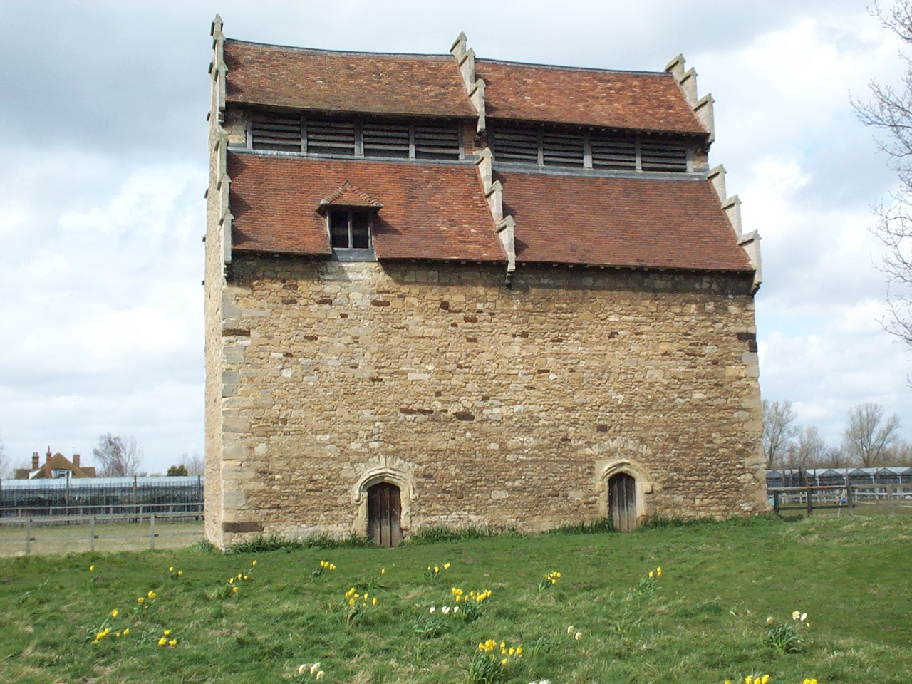
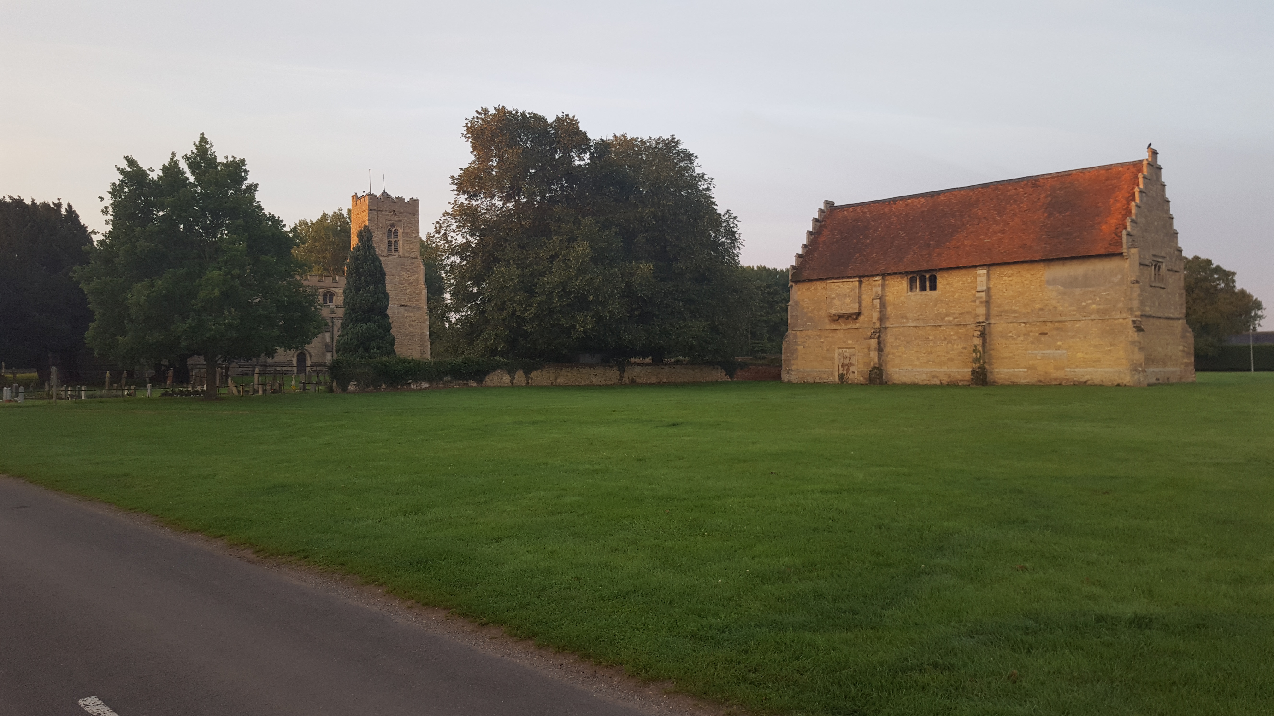
Willington Dovecote and Stables

Willington Dovecote & Stables is a National Trust property located in Willington, near Bedford, Bedfordshire, England. Both buildings are Grade I listed...

Nearby Amenities

Located within 500m of 52.126859,-0.34820763
Cafe
Moggerhanger Park Tearoom
Addr City: Moggerhanger
Addr Country: GB
Addr Housename: The Park
Addr Postcode: MK44 3RW
Addr Street: Park Road
Fhrs Authority: Central Bedfordshire
Fhrs Id: 450285
Fhrs Local Authority Id: 1658
Lat/Long: 52.1247431/-0.3428364
Post Box
Collection Times: Mo-Fr 16:00; Sa 09:30
Operator: Royal Mail
Post Box Type: wall
Ref: MK44 213
Royal Cypher: VR
Royal Cypher Wikidata: Q33102356
Source: survey
Survey Date: 2016-05-07
Lat/Long: 52.1272922/-0.341421
Generator Method: photovoltaic
Generator Output Electricity: yes
Generator Solar Modules: 16
Generator Source: solar
Generator Type: solar_photovoltaic_panel
Location: roof
Power: generator
Tilted: no
Lat/Long: 52.1276151/-0.3411024
The data included in this document is from www.openstreetmap.org. The data is made available under ODbL.

Have you been to Bottom Wood?

Leave your review of Bottom Wood below (or comments, questions and feedback).