Egypt
Settlement in Berkshire
England
Egypt
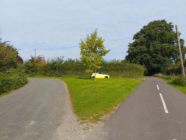
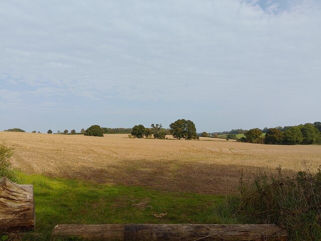
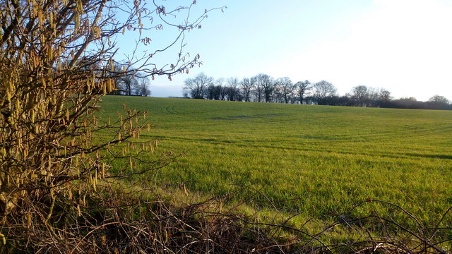
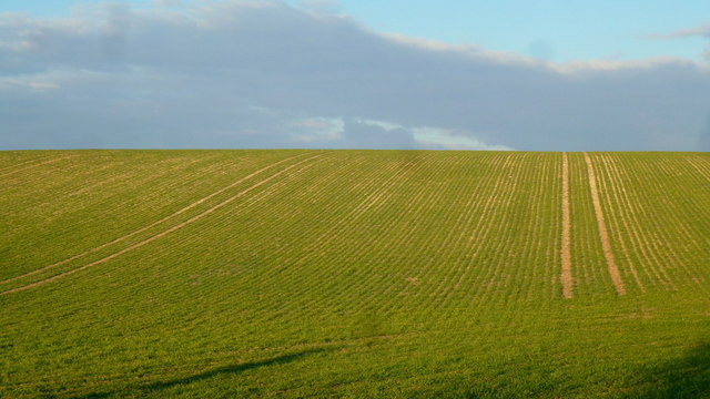
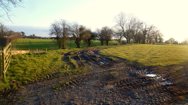
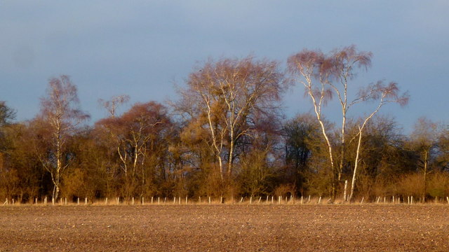
Egypt, Berkshire is a small village located in the county of Berkshire, England. Situated approximately 9 miles west of the town of Reading, it is nestled in the beautiful Thames Valley countryside. The village is surrounded by lush green fields and is known for its picturesque beauty and tranquil atmosphere.
Egypt has a rich history dating back to ancient times. The name "Egypt" is believed to have originated from a local landowner who had served in the Egyptian campaign of 1801. The village itself consists of a small cluster of houses, some of which date back to the 17th century. The architecture reflects the traditional English countryside style, with thatched roofs and exposed timber frames.
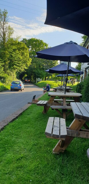
Despite its small size, the village offers a range of amenities to its residents and visitors. There is a local pub, The Egypt Mill, which has been serving the community since the 16th century. It is a popular spot for locals and tourists alike, offering a cozy atmosphere and traditional British cuisine.
The surrounding area provides ample opportunities for outdoor activities and exploration. The nearby Thames Path offers scenic walks along the river, while the Berkshire Downs provide stunning views and hiking trails. For history enthusiasts, the nearby town of Reading boasts attractions such as the ruins of Reading Abbey and the Museum of English Rural Life.
Overall, Egypt, Berkshire offers a peaceful retreat from the hustle and bustle of city life, with its scenic surroundings and rich historical heritage. It is a place where one can enjoy the beauty of the English countryside while immersing oneself in its fascinating past.
If you have any feedback on the listing, please let us know in the comments section below.
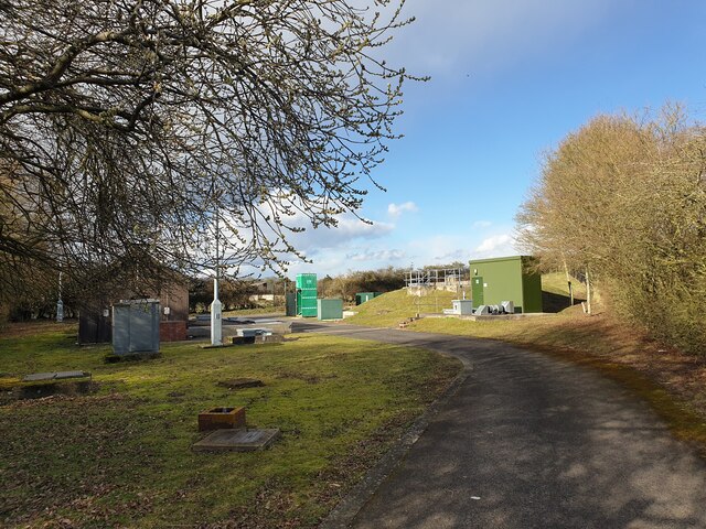
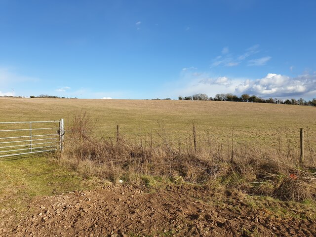
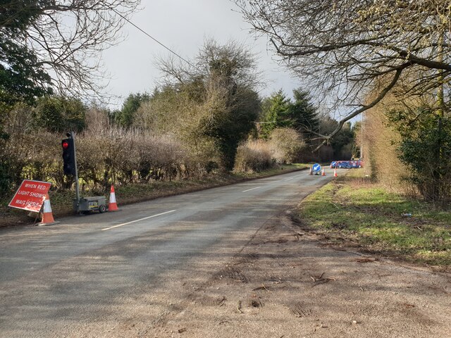
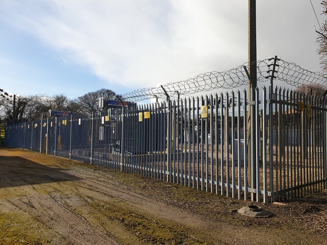
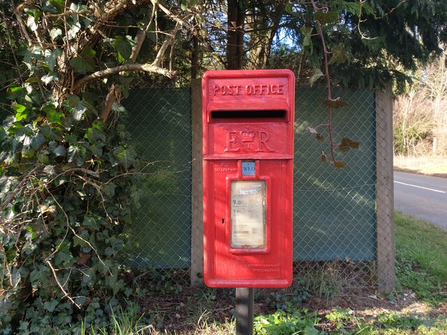
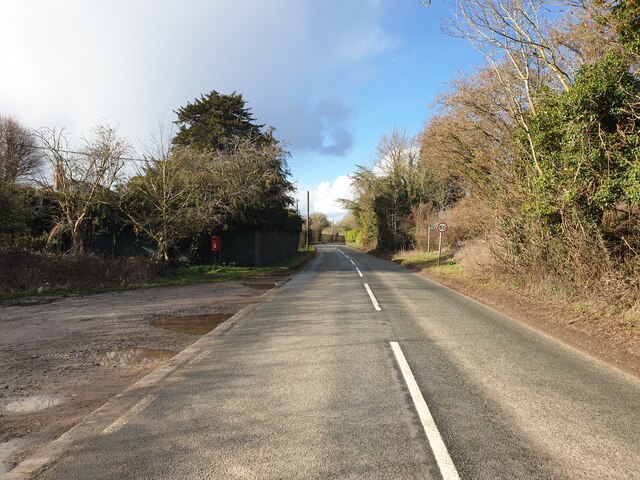
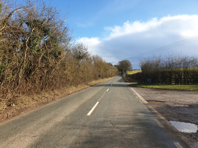
Egypt Images
Images are sourced within 2km of 51.48613/-1.364834 or Grid Reference SU4476. Thanks to Geograph Open Source API. All images are credited.
Egypt is located at Grid Ref: SU4476 (Lat: 51.48613, Lng: -1.364834)
Unitary Authority: West Berkshire
Police Authority: Thames Valley
What 3 Words
///violinist.slept.geek. Near Chaddleworth, Berkshire
Nearby Locations
Related Wikis
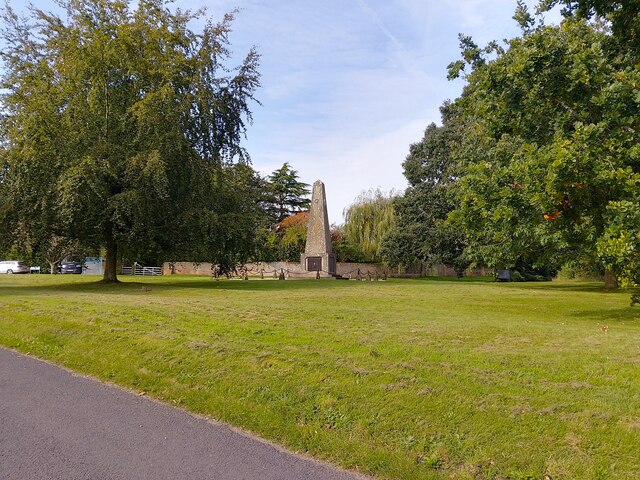
Leckhampstead War Memorial
Leckhampstead War Memorial is a Grade II listed war memorial in Leckhampstead, Berkshire, which commemorates 89 local men who served in the First World...

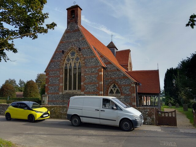
Leckhampstead, Berkshire
Leckhampstead is a village and civil parish in West Berkshire, England in the North Wessex Downs. A road and boundary stone in Leckhampstead, the Hangman...

Peasemore
Peasemore is a village and civil parish in the English ceremonial and historic county of Berkshire in the West Berkshire unitary authority area, west of...

Brightwalton Green
Brightwalton Green is a hamlet in the civil parish of Brightwalton in the county of Berkshire, England. The settlement lies near to the A338 road, and...
Nearby Amenities
Located within 500m of 51.48613,-1.364834Have you been to Egypt?
Leave your review of Egypt below (or comments, questions and feedback).