Cranfield Wood

Wood, Forest in Bedfordshire

England

Cranfield Wood

LCS garage, Colesden
LCS garage, Colesden Credit: David Howard

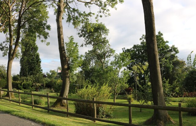
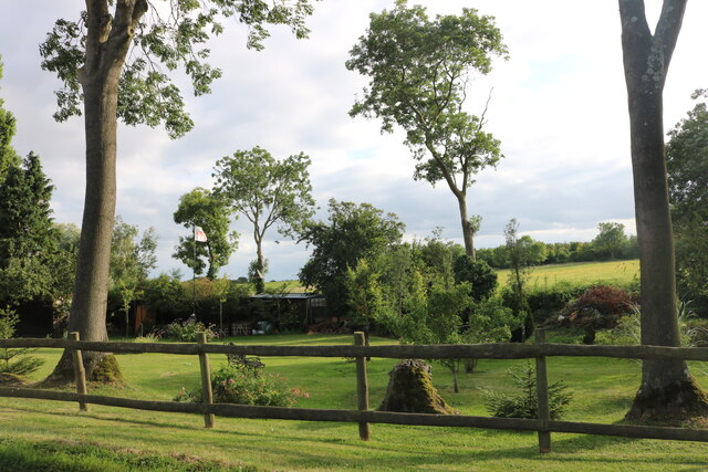
Cranfield Wood is a picturesque woodland located in Bedfordshire, England. Covering an area of approximately 85 hectares, the wood is a popular destination for nature lovers and outdoor enthusiasts. The wood is characterized by a diverse range of tree species, including oak, beech, and pine, which provide a habitat for a variety of wildlife such as deer, squirrels, and birds.

Visitors to Cranfield Wood can enjoy a network of walking trails that wind through the forest, offering opportunities to explore the natural beauty of the area. The wood is also home to a number of picnic areas, making it a great spot for a family day out or a peaceful retreat from the hustle and bustle of everyday life.

In addition to its recreational opportunities, Cranfield Wood plays an important role in the local ecosystem, providing valuable habitat for native flora and fauna. The wood is managed by the Forestry Commission, who work to maintain its biodiversity and ensure its sustainability for future generations to enjoy. Overall, Cranfield Wood is a tranquil and scenic woodland that offers a peaceful escape into nature for visitors of all ages.

If you have any feedback on the listing, please let us know in the comments section below.

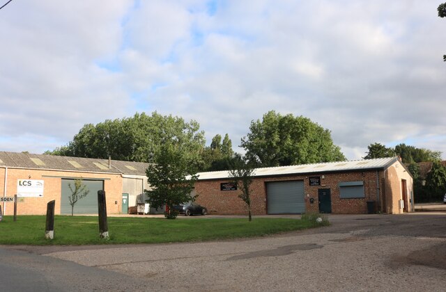
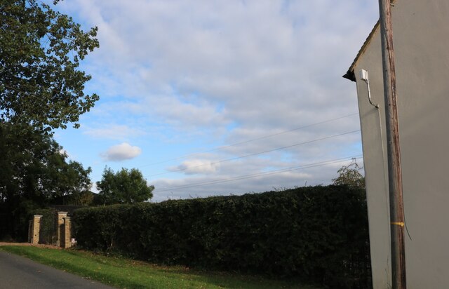
Cranfield Wood Images

Images are sourced within 2km of 52.179857/-0.35035476 or Grid Reference TL1254. Thanks to Geograph Open Source API. All images are credited.

LCS garage, Colesden
Hedge by Colesden Road
Garden at New Farm, Colesden It's not a public garden but a garden seen by the public.
Garden at New Farm, Colesden
It's not a public garden but a garden seen by the public.
Garden at New Farm, Colesden
Roxton : lodge, Roxton Park Grade II listed - <span class="nowrap"><a title="https://historicengland.org.uk/listing/the-list/list-entry/1321206" rel="nofollow ugc noopener" href="https://historicengland.org.uk/listing/the-list/list-entry/1321206">Link</a><img style="margin-left:2px;" alt="External link" title="External link - shift click to open in new window" src="https://s1.geograph.org.uk/img/external.png" width="10" height="10"/></span>.
Roxton : lodge, Roxton Park
Grade II listed - LinkExternal link.
Great Barford Bypass looking SW
Great Barford Bypass looking NE
Bridge over new bypass Construction of the Great Barford bypass has been ongoing for a cnsiderable time but completion is predicted sometime in 2006.
Bridge over new bypass
Construction of the Great Barford bypass has been ongoing for a cnsiderable time but completion is predicted sometime in 2006.
Bridge over bypass This is the road to High Barns Farm
Bridge over bypass
This is the road to High Barns Farm
View to the East from bypass bridge
Layby and A421 to Bedford A new dual carriageway is being built parallel to this road.
Layby and A421 to Bedford
A new dual carriageway is being built parallel to this road.
Track on High Barns Farm
Sunset over High Barns Farm
High Barns Farm This road looks very welcoming and has no signs to the contrary but as we neared the farm buildings we were stopped and told that it was a private road and it was against the law for us to continue along the road through the farm. No gates, no signs, no nothing! A very big farm with several houses and cottages and a steady stream of traffic along the road.
High Barns Farm
This road looks very welcoming and has no signs to the contrary but as we neared the farm buildings we were stopped and told that it was a private road and it was against the law for us to continue along the road through the farm. No gates, no signs, no nothing! A very big farm with several houses and cottages and a steady stream of traffic along the road.
Football pitch Small football pitch outside a farm workers cottage.
Football pitch
Small football pitch outside a farm workers cottage.
Shack Store All sorts of bits and pieces in a makeshift shelter.
Shack Store
All sorts of bits and pieces in a makeshift shelter.
Ditch Neatly cut ditch
Ditch
Neatly cut ditch
Western Edge of Reservoir
Show me another place!

Cranfield Wood is located at Grid Ref: TL1254 (Lat: 52.179857, Lng: -0.35035476)

Unitary Authority: Bedford

Police Authority: Bedfordshire

What 3 Words

///overdrive.motoring.lake. Near Great Barford, Bedfordshire

Nearby Locations

Cranfield Wood

Related Wikis

Colesden

Colesden is a small hamlet located in the English county of Bedfordshire. At the 2011 Census, the population of the hamlet was included in the civil parish...

Wyboston, Chawston and Colesden

Wyboston, Chawston and Colesden is a civil parish located in the Borough of Bedford in Bedfordshire, in England. The parish includes the village of Wyboston...

Duck's Cross

Duck's Cross is a hamlet located in the Borough of Bedford in Bedfordshire, England. The settlement forms part of Colmworth civil parish, though Duck's...

Great Barford

Great Barford is a village and civil parish in the Borough of Bedford, Bedfordshire, England, around 5 miles (8.0 km) north-east of Bedford town centre...

Nearby Amenities

Located within 500m of 52.179857,-0.35035476
Power: pole
Lat/Long: 52.18042/-0.3558327
Power: pole
Lat/Long: 52.1804785/-0.3572489
Power: pole
Lat/Long: 52.1814976/-0.3451869
Power: pole
Lat/Long: 52.1812707/-0.3467238
Power: pole
Lat/Long: 52.180922/-0.3483439
Power: pole
Lat/Long: 52.1806819/-0.3497091
Power: pole
Lat/Long: 52.1804105/-0.3512675
Power: pole
Lat/Long: 52.1802872/-0.3524932
Power: pole
Lat/Long: 52.180251/-0.3542984
The data included in this document is from www.openstreetmap.org. The data is made available under ODbL.

Have you been to Cranfield Wood?

Leave your review of Cranfield Wood below (or comments, questions and feedback).