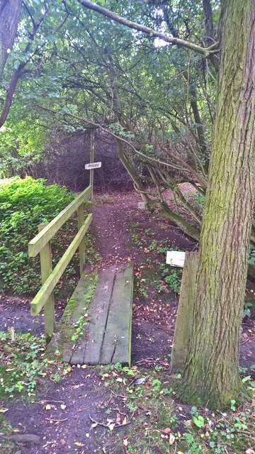
New Wood
Wood, Forest in Huntingdonshire Huntingdonshire
England
New Wood
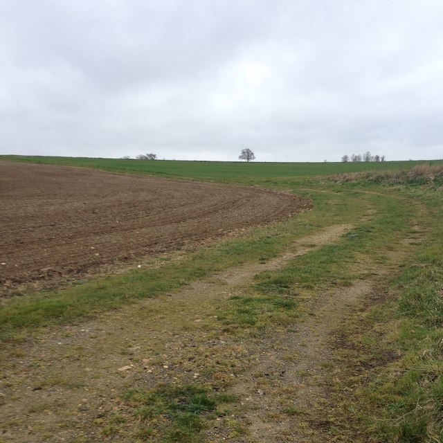
New Wood is a picturesque forest located in the district of Huntingdonshire, England. Spread over an area of approximately 500 acres, this woodland is renowned for its natural beauty and biodiversity. It is nestled within the larger landscape of the Huntingdonshire countryside, offering a peaceful retreat for nature enthusiasts and visitors alike.
The forest comprises a mix of deciduous and coniferous trees, creating a diverse habitat for an array of flora and fauna. The towering oak, beech, and birch trees dominate its landscape, providing a dense canopy that allows sunlight to filter through, casting mesmerizing shadows on the forest floor. The forest is also adorned with vibrant wildflowers during the spring and summer months, creating a tapestry of colors.
New Wood is home to a variety of wildlife, including deer, foxes, squirrels, and a plethora of bird species. Nature lovers often indulge in birdwatching activities, spotting species such as woodpeckers, owls, and thrushes. The forest's rich biodiversity makes it a haven for ecologists and researchers, who study the interplay between different species and the impact of human activities on the ecosystem.
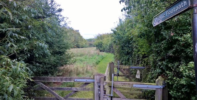
In addition to its natural beauty, New Wood offers several walking trails and footpaths, allowing visitors to explore its enchanting surroundings. These trails cater to all levels of fitness and provide an opportunity to immerse oneself in the tranquility of nature. The forest is also equipped with picnic areas, making it an ideal spot for families and friends to gather and enjoy a day out in the countryside.
Overall, New Wood in Huntingdonshire is a cherished natural gem, offering a serene environment, diverse wildlife, and ample recreational opportunities for nature enthusiasts and visitors seeking a respite from the hustle and bustle of urban life.
If you have any feedback on the listing, please let us know in the comments section below.
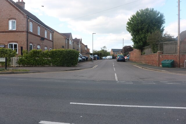
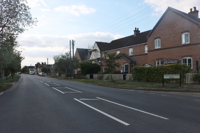
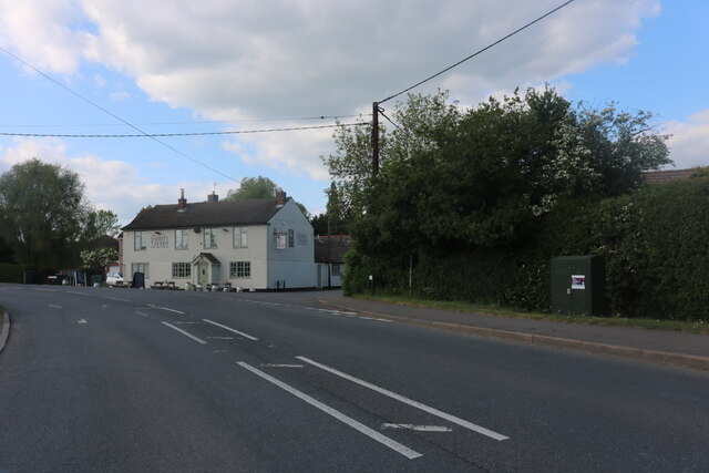
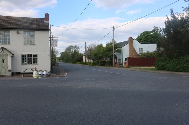
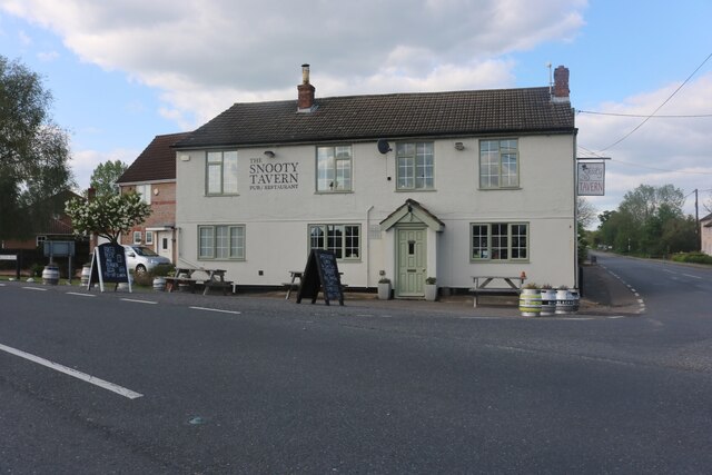
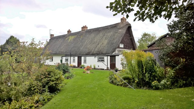
New Wood Images
Images are sourced within 2km of 52.260448/-0.34795182 or Grid Reference TL1263. Thanks to Geograph Open Source API. All images are credited.


New Wood is located at Grid Ref: TL1263 (Lat: 52.260448, Lng: -0.34795182)
Administrative County: Cambridgeshire
District: Huntingdonshire
Police Authority: Cambridgeshire
What 3 Words
///tonality.overpaid.accompany. Near Kimbolton, Cambridgeshire
Nearby Locations
Related Wikis

Great Staughton
Great Staughton is a village and civil parish in Cambridgeshire, England. Great Staughton lies approximately 8 miles (13 km) south-west of Huntingdon....
RAF Little Staughton
Royal Air Force Little Staughton or more simply RAF Little Staughton is a former Royal Air Force station located 1.7 miles (2.7 km) south of Great Staughton...

Church of All Saints, Little Staughton
Church of All Saints is a Grade I listed church in Little Staughton, Bedfordshire, England. Originally known as the Church of St Margaret, it was largely...

Little Staughton
Little Staughton is a small village and civil parish located in the north of Bedfordshire. The parish church, All Saints, is set apart from the present...

Perry Woods
Perry Woods is a 67.9-hectare (168-acre) biological Site of Special Scientific Interest south-east of Kimbolton in Cambridgeshire. It is composed of three...

Perry, Cambridgeshire
Perry is a village and civil parish in Cambridgeshire, England, approximately 6 miles (10 km) south-west of Huntingdon. Perry is in Huntingdonshire, a...

Gaynes Hall
Gaynes Hall is a Grade II* listed Georgian mansion set in 20 acres (81,000 m2) of parkland in the heart of the Cambridgeshire countryside. Located in the...
Bushmead Priory
The Priory Church of Saint Mary, Bushmead, commonly called Bushmead Priory, was a monastic foundation for Augustinian Canons, located at Bushmead (a hamlet...
Nearby Amenities
Located within 500m of 52.260448,-0.34795182Have you been to New Wood?
Leave your review of New Wood below (or comments, questions and feedback).