Long Plantation
Wood, Forest in Huntingdonshire Huntingdonshire
England
Long Plantation

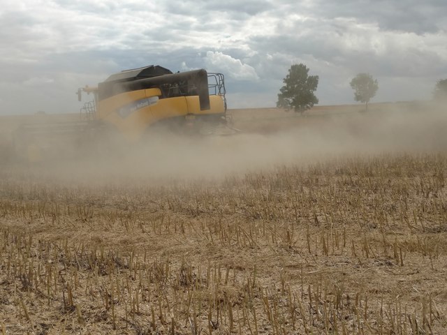
Long Plantation is a vast woodland located in the county of Huntingdonshire, England. Stretching over several square kilometers, it is known for its serene beauty and rich biodiversity. The plantation is predominantly composed of a variety of tall trees, including oak, beech, and pine, which provide a dense canopy that filters sunlight, creating a cool and tranquil atmosphere.
The woodland's name, "Long Plantation," aptly describes its elongated shape, extending from the outskirts of the village of Huntingdon to the neighboring village of Godmanchester. This makes it a popular destination for nature enthusiasts and outdoor enthusiasts, who can indulge in activities such as hiking, birdwatching, and nature photography.
Long Plantation is also home to a diverse range of wildlife. Visitors may spot various species of birds, such as woodpeckers, owls, and songbirds, flitting among the trees. The woodland also hosts a wide array of mammals, including deer, foxes, and rabbits, which can occasionally be observed in their natural habitats.
Managed by a local conservation trust, Long Plantation is well-maintained with designated trails and picnic areas for visitors to enjoy. The woodland's management includes regular tree maintenance, ensuring the health and longevity of the forest.
In summary, Long Plantation in Huntingdonshire is a picturesque and ecologically significant woodland, offering an escape for individuals seeking solace in nature. Its sprawling landscape, diverse flora, and fauna make it a haven for outdoor activities and a valuable natural resource in the region.
If you have any feedback on the listing, please let us know in the comments section below.
Long Plantation Images
Images are sourced within 2km of 52.464446/-0.34082541 or Grid Reference TL1286. Thanks to Geograph Open Source API. All images are credited.


Long Plantation is located at Grid Ref: TL1286 (Lat: 52.464446, Lng: -0.34082541)
Administrative County: Cambridgeshire
District: Huntingdonshire
Police Authority: Cambridgeshire
What 3 Words
///wasp.chum.womb. Near Stilton, Cambridgeshire
Nearby Locations
Related Wikis
Lutton, Northamptonshire
Lutton is a village and civil parish in North Northamptonshire, England. The 2011 Census recorded its parish population as 186.The villages name means...
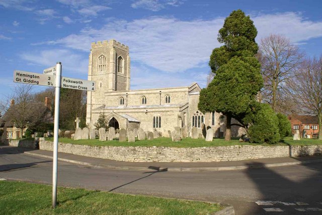
St Peter's Church, Lutton
St Peter's Church, Lutton is a Grade I Listed medieval church, which stands on the highest point in the village of Lutton, Northamptonshire, England. It...

Caldecote, Huntingdonshire
Caldecote is a village and former civil parish, now in the parish of Denton and Caldecote, in Cambridgeshire, England. Caldecote lies approximately 7 miles...
Denton and Caldecote
Denton and Caldecote – in Huntingdonshire (now part of Cambridgeshire), England – is a civil parish near Glatton south west of Yaxley. The parish was formed...
Denton, Cambridgeshire
Denton is a hamlet and former civil parish, now in the parish of Denton and Caldecote, in Cambridgeshire, England. Denton lies approximately 11 miles...
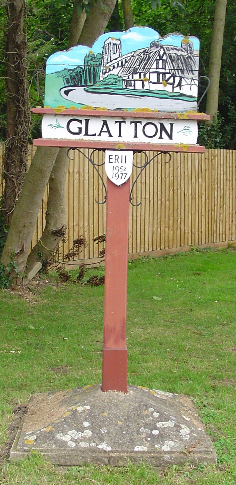
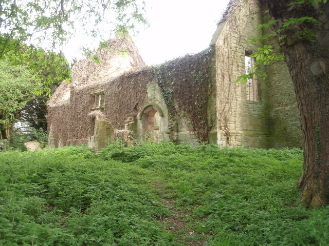
Glatton
Glatton is a village and civil parish in Cambridgeshire, England, some 8 miles (13 km) south-west of Peterborough, near the villages of Conington, Yaxley...

Washingley
Washingley is a hamlet and former civil parish, now in the parish of Folksworth and Washingley, in Cambridgeshire, England. Washingley lies approximately...
Folksworth
Folksworth is a village and former civil parish, now in the parish of Folksworth and Washingley, in Cambridgeshire, England. Folksworth lies approximately...
Nearby Amenities
Located within 500m of 52.464446,-0.34082541Have you been to Long Plantation?
Leave your review of Long Plantation below (or comments, questions and feedback).