Christchurch

Settlement in Monmouthshire

Wales

Christchurch

Pond, Somerton
Pond, Somerton Credit: N Chadwick

Christchurch is a small village located in Monmouthshire, Wales. Situated on the banks of the River Usk, it is nestled within the scenic countryside of the county. The village is surrounded by rolling hills and lush green fields, offering a picturesque setting for residents and visitors alike.

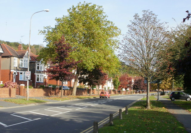
With a population of around 1,000 people, Christchurch has a close-knit community that is known for its friendly and welcoming atmosphere. The village is primarily residential, with a mix of traditional Welsh cottages and modern houses. The architectural charm of the village is complemented by its well-maintained streets and flower-filled gardens.

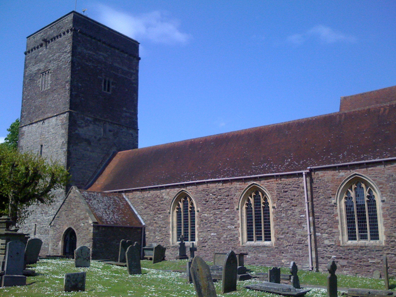
Despite its small size, Christchurch has a number of amenities to offer its residents. These include a village hall, a primary school, a post office, and a local pub. The village is also home to a beautiful church, which dates back to the 13th century and serves as a focal point for the community.

Nature enthusiasts will find plenty to explore in the surrounding area. Christchurch is located near the Brecon Beacons National Park, providing easy access to breathtaking landscapes and hiking trails. The River Usk also offers opportunities for fishing and boating.

Overall, Christchurch, Monmouthshire is a charming village with a strong sense of community and a tranquil countryside setting. It is a place where residents can enjoy a peaceful lifestyle while still having access to essential amenities and natural beauty.

If you have any feedback on the listing, please let us know in the comments section below.
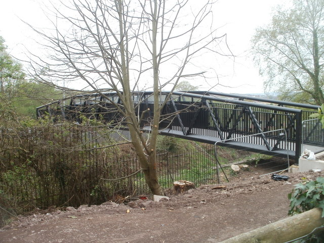
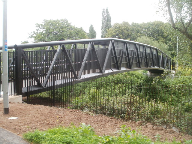
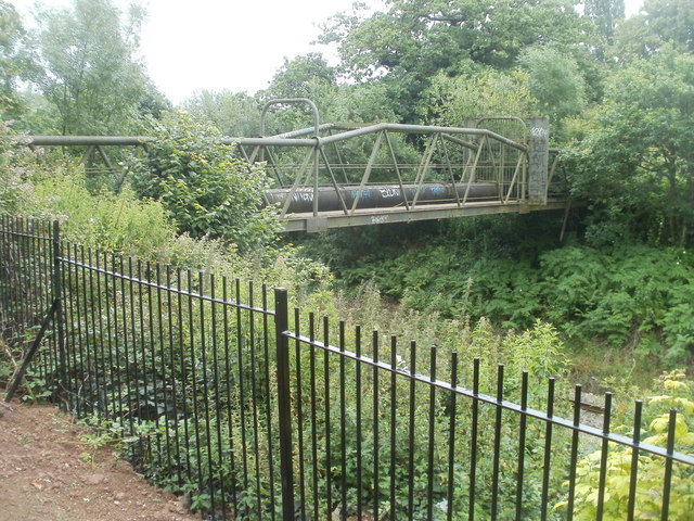
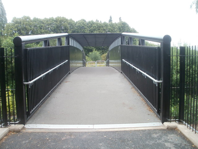
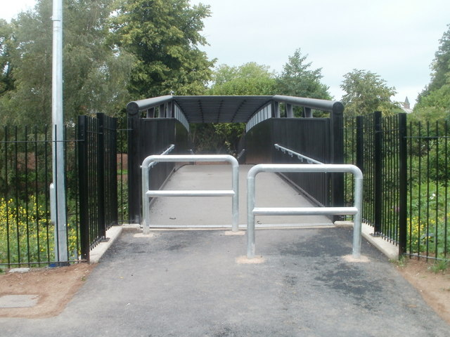
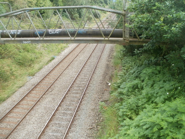
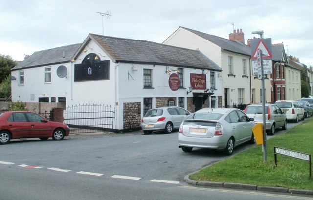
Christchurch Images

Images are sourced within 2km of 51.600584/-2.944096 or Grid Reference ST3489. Thanks to Geograph Open Source API. All images are credited.

Pond, Somerton
Pond, Somerton
Footbridge over the railway, St Cadoc's Hospital, Caerleon A footbridge at the southern edge of the hospital <a title="https://www.geograph.org.uk/photo/2357119" href="https://www.geograph.org.uk/photo/2357119">Link</a> crosses the Welsh Marches railway lines.
Footbridge over the railway, St Cadoc's Hospital, Caerleon
A footbridge at the southern edge of the hospital Link crosses the Welsh Marches railway lines.
Llwyn Onn, St Cadoc's Hospital, Caerleon Child and Family Psychology Department building located in the SE corner of the grounds of St Cadoc's Hospital. <a title="https://www.geograph.org.uk/photo/2357119" href="https://www.geograph.org.uk/photo/2357119">Link</a>
Llwyn Onn, St Cadoc's Hospital, Caerleon
Child and Family Psychology Department building located in the SE corner of the grounds of St Cadoc's Hospital. Link
New footbridge, Caerleon As part of the extension <a title="https://www.geograph.org.uk/photo/2494687" href="https://www.geograph.org.uk/photo/2494687">Link</a> of National Cycle Network route 88 in Caerleon from Home Farm Crescent to Caerleon Comprehensive School, this footbridge was built to carry the route over the Welsh Marches railway lines. The steel bridge, weighing 23 tonnes and 29 metres long, was manufactured by Newport company Rowecord Engineering. <a title="https://www.geograph.org.uk/photo/1964853" href="https://www.geograph.org.uk/photo/1964853">Link</a>
New footbridge, Caerleon
As part of the extension Link of National Cycle Network route 88 in Caerleon from Home Farm Crescent to Caerleon Comprehensive School, this footbridge was built to carry the route over the Welsh Marches railway lines. The steel bridge, weighing 23 tonnes and 29 metres long, was manufactured by Newport company Rowecord Engineering. Link
Pipe bridge, Caerleon Located a few metres from a new footbridge, <a title="https://www.geograph.org.uk/photo/2494774" href="https://www.geograph.org.uk/photo/2494774">Link</a> the pipe bridge crosses the Welsh Marches railway line. Its tubular design is similar to this footbridge <a title="https://www.geograph.org.uk/photo/1865483" href="https://www.geograph.org.uk/photo/1865483">Link</a> in Rogerstone.
Pipe bridge, Caerleon
Located a few metres from a new footbridge, Link the pipe bridge crosses the Welsh Marches railway line. Its tubular design is similar to this footbridge Link in Rogerstone.
Footbridge across the railway, Caerleon The view south across a new footbridge, <a title="https://www.geograph.org.uk/photo/2494774" href="https://www.geograph.org.uk/photo/2494774">Link</a> built as part of the 2011 Caerleon extension to National Cycle Network Route 88.
Footbridge across the railway, Caerleon
The view south across a new footbridge, Link built as part of the 2011 Caerleon extension to National Cycle Network Route 88.
Footbridge across the Welsh Marches railway lines, Caerleon The view north across the newly-opened (June 2011) footbridge, <a title="https://www.geograph.org.uk/photo/2494774" href="https://www.geograph.org.uk/photo/2494774">Link</a> part of the Caerleon extension to National Cycle Network route 88.
Footbridge across the Welsh Marches railway lines, Caerleon
The view north across the newly-opened (June 2011) footbridge, Link part of the Caerleon extension to National Cycle Network route 88.
Pipe bridge and railway lines, Caerleon A pipe bridge crosses the Welsh Marches railway lines. Viewed from the footbridge <a title="https://www.geograph.org.uk/photo/2494774" href="https://www.geograph.org.uk/photo/2494774">Link</a> carrying National Cycle Network route 88 across the tracks.
Pipe bridge and railway lines, Caerleon
A pipe bridge crosses the Welsh Marches railway lines. Viewed from the footbridge Link carrying National Cycle Network route 88 across the tracks.
Drovers Takeaway and Restaurant, Caerleon Located at the edge of Goldcroft Common. The business specialises in fish & chips, kebabs, burgers and fried chicken. The building was previously (and probably for centuries) The Drovers Arms pub. <a title="https://www.geograph.org.uk/photo/1714111" href="https://www.geograph.org.uk/photo/1714111">Link</a> 
It was stated in the local newspaper that Newport City Council’s conservation officer had said that the building was one of the oldest on Goldcroft Common and one of only a few appearing on an 1840 map of the area.
Drovers Takeaway and Restaurant, Caerleon
Located at the edge of Goldcroft Common. The business specialises in fish & chips, kebabs, burgers and fried chicken. The building was previously (and probably for centuries) The Drovers Arms pub. Link It was stated in the local newspaper that Newport City Council’s conservation officer had said that the building was one of the oldest on Goldcroft Common and one of only a few appearing on an 1840 map of the area.
The 'Roman Road' golf course at Celtic Manor
Green at Celtic Manor golf course
Archaeological excavations, Caerleon [1] The Roman amphitheatre.
The excavations in 2011 were in the field just behind the row of small trees on the left.
Archaeological excavations, Caerleon [1]
The Roman amphitheatre. The excavations in 2011 were in the field just behind the row of small trees on the left.
Archaeological excavations, Caerleon [2] The top of the field which was the location of the excavations in 2011.
Archaeological excavations, Caerleon [2]
The top of the field which was the location of the excavations in 2011.
Archaeological excavations, Caerleon [3] Some beautifully rendered walls, large quantities of oyster shells and pottery were found in this trench.
Archaeological excavations, Caerleon [3]
Some beautifully rendered walls, large quantities of oyster shells and pottery were found in this trench.
Archaeological excavations, Caerleon [4] This is the same trench as <a title="https://www.geograph.org.uk/photo/2612781" href="https://www.geograph.org.uk/photo/2612781">Link</a> but viewed from the lower end.
Archaeological excavations, Caerleon [4]
This is the same trench as Link but viewed from the lower end.
Archaeological excavations, Caerleon [5] Excavating near to the newly discovered quayside.
Archaeological excavations, Caerleon [5]
Excavating near to the newly discovered quayside.
Archaeological excavations, Caerleon [6] This shows the quayside of the newly discovered Roman port on the River Usk; the first to be located outside London.
The river runs just beyond the hedge in the background.
Archaeological excavations, Caerleon [6]
This shows the quayside of the newly discovered Roman port on the River Usk; the first to be located outside London. The river runs just beyond the hedge in the background.
Archaeological excavations, Caerleon [7] Taking a sighting from the quayside location to the top of the field.
Archaeological excavations, Caerleon [7]
Taking a sighting from the quayside location to the top of the field.
Show me another place!

Christchurch is located at Grid Ref: ST3489 (Lat: 51.600584, Lng: -2.944096)

Unitary Authority: Newport

Police Authority: Gwent

Also known as: Eglwys y Drindod

What 3 Words

///middle.offer.year. Near Caerleon, Newport

Related Wikis

Roman Catholic Archdiocese of Cardiff

The Archdiocese of Cardiff (Latin: Archidioecesis Cardiffensis; Welsh: Archesgobaeth Caerdydd) is a Latin archdiocese of the Catholic Church which covers...

Christchurch, Newport

Christchurch (Welsh: Eglwys y Drindod) is a village located at the top of Christchurch Hill in the Caerleon ward and community of the city of Newport,...

Bulmore

Bulmore or Bullmoor (Welsh: Y Pwll Mawr) is a hamlet in the south-east of the Caerleon ward of the city of Newport, South Wales. The name is derived from...

Coldra

Coldra is an area within the electoral ward of Ringland, Newport, Wales. It lies between The Coldra Roundabout and Ringland, Newport. == References ==

Caerleon Urban District

Caerleon Urban District was a local government district in Wales, until 1974, with a district council. It was established under the provisions of the Local...

Treberth

Treberth is a suburb within the electoral ward of Ringland, Newport. Treberth used to be a Post War Development in Ringland, Newport until the prefabs...

Bishpool

Bishpool is a suburb within the electoral ward of Ringland, Newport. It lies to the western side of Ringland. Its facilities include Bishpool Methodist...

Celtic Classic

The Celtic Classic was a professional golf tournament held 13 to 16 August 2020 on the Twenty-Ten Course at the Celtic Manor Resort, in Newport, Wales...

Related Videos

OUR LOCKDOWN HOLIDAY

Hi my name is Ben and welcome to my vlog My wife Lauren, son Cole and I headed to coldra court hotel for a fantastic weekend.

Innoflate Newport Indoor Bouncy Castle Park & Sorting the Last Holiday Bits Out! || Home Vlog #178

In today's vlog I took the kids out to some shops first to waste some time before heading to Innoflate bouncy castle park in Newport ...

Kids party and lunch at Celtic Manor Resort

Lovely day at Celtic Manor Resort! Children's party for laser tag, party lunch and crazy golf. Whilst the kids were playing laser tag, ...

Walking the hills of Newport stick hunting and dodging the rain

Adventures and Walks with Puppy dog Otis, the Border Collie / Cocker Spaniel cross-breed. Otis was born 7th July 2021 and he ...

Nearby Amenities

Located within 500m of 51.600584,-2.944096
Created By: GPSBabel-1.3.6
Lat/Long: 51.602199/-2.946742
Place Of Worship
Holy Trinity
Addr City: Newport
Addr Postcode: NP18 1JJ
Addr Street: Old Hill
Denomination: protestant
Email: christchurch.churchhall@gmail.com
Level: 0
Name Cy: Y Drindod Sanctaidd
Religion: christian
Website: https://holytrinitychristchurch.org/
Wikidata: Q29483002
Lat/Long: 51.5992665/-2.9446589
Pub
Greyhound Inn
Addr City: Newport
Addr Housename: The Greyhound Inn
Addr Postcode: NP18 1JJ
Addr Street: Old Hill
Check Date: 2022-10-11
Contact Facebook: https://www.facebook.com/greyhoundpubchristchurch/
Email: Karenchapman.c8@yahoo.com
Opening Hours: Mo-Th 11:30-23:30; Fr-Sa 11:30-00:00; Su 11:30-15:00
Wikidata: Q80857370
Lat/Long: 51.5988304/-2.9452349
Bench
Lat/Long: 51.5980062/-2.9470525
Christchurch viewpoint
Name Cy: Safbwynt Eglwys y Drindod
Tourism: viewpoint
Lat/Long: 51.5979481/-2.94713
Christchurch
Name Cy: Eglwys y Drindod
Place: suburb
Wikidata: Q5109052
Lat/Long: 51.6004079/-2.9434921
Historic: memorial
Lat/Long: 51.5987902/-2.9449744
Street Lamp
Lat/Long: 51.5986905/-2.9451515
Post Box
Lat/Long: 51.5988728/-2.9448365
Street Lamp
Power: pole
Lat/Long: 51.5989106/-2.945134
Power: pole
Lat/Long: 51.599405/-2.9451212
Street Lamp
Lat/Long: 51.599472/-2.9450777
Street Lamp
Power: pole
Lat/Long: 51.5997753/-2.945079
Street Lamp
Power: pole
Lat/Long: 51.6000107/-2.9451152
Power: pole
Lat/Long: 51.6002759/-2.9451762
Street Lamp
Lat/Long: 51.599549/-2.945615
Street Lamp
Lat/Long: 51.5995113/-2.9460721
Street Lamp
Lat/Long: 51.5997881/-2.945909
Street Lamp
Lat/Long: 51.6001134/-2.9458749
Street Lamp
Lat/Long: 51.6004177/-2.9458738
Street Lamp
Lat/Long: 51.6006151/-2.9462091
Street Lamp
Lat/Long: 51.600626/-2.9466704
Street Lamp
Lat/Long: 51.600297/-2.9467582
Street Lamp
Lat/Long: 51.6000048/-2.9467714
Street Lamp
Lat/Long: 51.5997075/-2.9468078
Street Lamp
Lat/Long: 51.5993466/-2.9468352
Street Lamp
Lat/Long: 51.5990569/-2.9468166
Street Lamp
Lat/Long: 51.599018/-2.9462793
Street Lamp
Lat/Long: 51.5991671/-2.9459667
Grit Bin
Lat/Long: 51.5995523/-2.9458578
Grit Bin
Lat/Long: 51.6005507/-2.9459993
Power: pole
Lat/Long: 51.5987522/-2.9445145
Power: pole
Lat/Long: 51.5987761/-2.9440018
Power: pole
Lat/Long: 51.5988996/-2.9433319
Street Lamp
Lat/Long: 51.5989065/-2.9433748
Street Lamp
Lat/Long: 51.5996754/-2.9426134
Direction: 130
Generator Method: photovoltaic
Generator Output Electricity: yes
Generator Solar Modules: 14
Generator Source: solar
Generator Type: solar_photovoltaic_panel
Location: roof
Power: generator
Lat/Long: 51.597512/-2.9401288
Direction: 145
Generator Method: photovoltaic
Generator Output Electricity: yes
Generator Solar Modules: 8
Generator Source: solar
Generator Type: solar_photovoltaic_panel
Location: roof
Power: generator
Lat/Long: 51.5962735/-2.9448837
Direction: S
Generator Method: photovoltaic
Generator Output Electricity: yes
Generator Solar Modules: 8
Generator Source: solar
Generator Type: solar_photovoltaic_panel
Location: roof
Power: generator
Lat/Long: 51.5962806/-2.9438376
Direction: S
Generator Method: photovoltaic
Generator Output Electricity: yes
Generator Solar Modules: 8
Generator Source: solar
Generator Type: solar_photovoltaic_panel
Location: roof
Power: generator
Lat/Long: 51.5965157/-2.9438776
Direction: S
Generator Method: photovoltaic
Generator Output Electricity: yes
Generator Solar Modules: 8
Generator Source: solar
Generator Type: solar_photovoltaic_panel
Location: roof
Power: generator
Lat/Long: 51.5965133/-2.9438034
Direction: S
Generator Method: photovoltaic
Generator Output Electricity: yes
Generator Solar Modules: 8
Generator Source: solar
Generator Type: solar_photovoltaic_panel
Location: roof
Power: generator
Lat/Long: 51.5965252/-2.9437197
Direction: SSE
Generator Method: photovoltaic
Generator Output Electricity: yes
Generator Solar Modules: 8
Generator Source: solar
Generator Type: solar_photovoltaic_panel
Location: roof
Power: generator
Lat/Long: 51.5962192/-2.9431587
Direction: 165
Generator Method: photovoltaic
Generator Output Electricity: yes
Generator Solar Modules: 8
Generator Source: solar
Generator Type: solar_photovoltaic_panel
Location: roof
Power: generator
Lat/Long: 51.5962359/-2.9429939
Direction: 175
Generator Method: photovoltaic
Generator Output Electricity: yes
Generator Solar Modules: 8
Generator Source: solar
Generator Type: solar_photovoltaic_panel
Location: roof
Power: generator
Lat/Long: 51.5962215/-2.942784
Direction: 175
Generator Method: photovoltaic
Generator Output Electricity: yes
Generator Solar Modules: 8
Generator Source: solar
Generator Type: solar_photovoltaic_panel
Location: roof
Power: generator
Lat/Long: 51.5962251/-2.9426965
Direction: 175
Generator Method: photovoltaic
Generator Output Electricity: yes
Generator Solar Modules: 8
Generator Source: solar
Generator Type: solar_photovoltaic_panel
Location: roof
Power: generator
Lat/Long: 51.596231/-2.9426223
Direction: 175
Generator Method: photovoltaic
Generator Output Electricity: yes
Generator Solar Modules: 8
Generator Source: solar
Generator Type: solar_photovoltaic_panel
Location: roof
Power: generator
Lat/Long: 51.5962215/-2.9425063
Direction: SSE
Generator Method: photovoltaic
Generator Output Electricity: yes
Generator Solar Modules: 8
Generator Source: solar
Generator Type: solar_photovoltaic_panel
Location: roof
Power: generator
Lat/Long: 51.5965393/-2.942493
Direction: 165
Generator Method: photovoltaic
Generator Output Electricity: yes
Generator Solar Modules: 8
Generator Source: solar
Generator Type: solar_photovoltaic_panel
Location: roof
Power: generator
Lat/Long: 51.5965417/-2.9428334
Direction: 165
Generator Method: photovoltaic
Generator Output Electricity: yes
Generator Solar Modules: 8
Generator Source: solar
Generator Type: solar_photovoltaic_panel
Location: roof
Power: generator
Lat/Long: 51.5965346/-2.9429152
Direction: 165
Generator Method: photovoltaic
Generator Output Electricity: yes
Generator Solar Modules: 8
Generator Source: solar
Generator Type: solar_photovoltaic_panel
Location: roof
Power: generator
Lat/Long: 51.5965204/-2.9430084
Direction: 165
Generator Method: photovoltaic
Generator Output Electricity: yes
Generator Solar Modules: 8
Generator Source: solar
Generator Type: solar_photovoltaic_panel
Location: roof
Power: generator
Lat/Long: 51.5965039/-2.9431149
Direction: 145
Generator Method: photovoltaic
Generator Output Electricity: yes
Generator Solar Modules: 8
Generator Source: solar
Generator Type: solar_photovoltaic_panel
Location: roof
Power: generator
Lat/Long: 51.5969528/-2.9431187
Direction: 145
Generator Method: photovoltaic
Generator Output Electricity: yes
Generator Solar Modules: 8
Generator Source: solar
Generator Type: solar_photovoltaic_panel
Location: roof
Power: generator
Lat/Long: 51.5969776/-2.9430445
Direction: 145
Generator Method: photovoltaic
Generator Output Electricity: yes
Generator Solar Modules: 8
Generator Source: solar
Generator Type: solar_photovoltaic_panel
Location: roof
Power: generator
Lat/Long: 51.597006/-2.9429818
Direction: 145
Generator Method: photovoltaic
Generator Output Electricity: yes
Generator Solar Modules: 8
Generator Source: solar
Generator Type: solar_photovoltaic_panel
Location: roof
Power: generator
Lat/Long: 51.5970911/-2.9428239
Direction: 145
Generator Method: photovoltaic
Generator Output Electricity: yes
Generator Solar Modules: 8
Generator Source: solar
Generator Type: solar_photovoltaic_panel
Location: roof
Power: generator
Lat/Long: 51.5971265/-2.9427479
Direction: 145
Generator Method: photovoltaic
Generator Output Electricity: yes
Generator Solar Modules: 8
Generator Source: solar
Generator Type: solar_photovoltaic_panel
Location: roof
Power: generator
Lat/Long: 51.5971525/-2.9426756
Restaurant
Los Reyes Tapas & Wine Bar
Addr City: Newport
Addr Postcode: NP18 1JX
Addr Street: Belmont Hill
Bar: yes
Cuisine: tapas
Opening Hours: Mo-Su 16:00-20:00
Outdoor Seating: yes
Phone: +44 1633 423 336
Website: http://losreyestapas.com/
Lat/Long: 51.6030674/-2.9482882
Cafe
Wilson and Bay Coffee Club
Addr City: Newport
Addr Housename: Christchurch viewpoint car park
Addr Postcode: NP18 1JJ
Addr Street: Christchurch Road
Cuisine: coffee_shop
Email: hello@wilsonbaycoffeeclub.co.uk
Opening Hours: Mo-Fr 08:00-18:30; Sa 08:30-18:00; Su 09:30-17:00
Outdoor Seating: yes
Website: https://www.wilsonbaycoffeeclub.co.uk/
Lat/Long: 51.5975042/-2.9471368
Bus Stop
Royal Oak (N-bound)
Bus: yes
Name Cy: Royal Oak (tua'r gogledd)
Naptan AtcoCode: 5310WDB25433
Naptan NaptanCode: nwpgdtj
Network: Newport Bus
Operator: Newport Bus
Public Transport: platform
Shelter: no
Lat/Long: 51.5976498/-2.9391103
Monument of James Rennie
Access: yes
Historic: monument
Name Cy: Cofeb James Rennie
Start Date: 1864-01-01
Wikidata: Q29503015
Lat/Long: 51.5995826/-2.9447756
Monument of Willmett and Darvel
Access: yes
Historic: monument
Name Cy: Cofeb Willmett a Darvel
Start Date: 1850-01-01
Wikidata: Q29503016
Lat/Long: 51.5992403/-2.9450706
22nd Newport Scout Group
Addr City: Newport
Addr Housename: Scout Hut
Addr Postcode: NP18 1JG
Addr Street: Black Ash Path
Brand: The Scout Association
Brand Wikidata: Q849740
Brand Wikipedia: en:The Scout Association
Club: scout
Lat/Long: 51.6013978/-2.9457489
Direction: NNW
Generator Method: photovoltaic
Generator Output Electricity: yes
Generator Solar Modules: 8
Generator Source: solar
Generator Type: solar_photovoltaic_panel
Location: roof
Power: generator
Lat/Long: 51.5973317/-2.9399267
Direction: 215
Generator Method: photovoltaic
Generator Output Electricity: yes
Generator Solar Modules: 16
Generator Source: solar
Generator Type: solar_photovoltaic_panel
Location: roof
Power: generator
Lat/Long: 51.5978161/-2.9396729
Direction: SSE
Generator Method: photovoltaic
Generator Output Electricity: yes
Generator Solar Modules: 8
Generator Source: solar
Generator Type: solar_photovoltaic_panel
Location: roof
Power: generator
Lat/Long: 51.5973044/-2.9399103
Direction: S
Generator Method: photovoltaic
Generator Output Electricity: yes
Generator Solar Modules: 8
Generator Source: solar
Generator Type: solar_photovoltaic_panel
Location: roof
Power: generator
Lat/Long: 51.5988958/-2.9463936
Golf: pin
Lat/Long: 51.6044805/-2.9444967
Golf: pin
Lat/Long: 51.6041494/-2.9415789
Barrier: kissing_gate
Foot: designated
Lat/Long: 51.6023872/-2.9498125
Ford: yes
Lat/Long: 51.5998741/-2.9504867
The data included in this document is from www.openstreetmap.org. The data is made available under ODbL.

Have you been to Christchurch?

Leave your review of Christchurch below (or comments, questions and feedback).