Audleby Square Wood
Wood, Forest in Lincolnshire West Lindsey
England
Audleby Square Wood
Audleby Square Wood is a picturesque woodland located in the county of Lincolnshire, England. Covering an area of approximately 50 hectares, this enchanting forest is a haven for nature enthusiasts and outdoor lovers.
The wood is primarily composed of broadleaf trees, such as oak, beech, and ash, which create a rich and diverse habitat for a wide range of wildlife. The dense canopy overhead provides shelter for numerous bird species, including woodpeckers, owls, and various songbirds. Visitors may also spot small mammals like rabbits, foxes, and squirrels darting through the undergrowth.
Tranquil walking trails wind their way through the wood, offering visitors the opportunity to immerse themselves in the serene beauty of the natural surroundings. The forest floor is adorned with vibrant wildflowers during the spring and summer months, adding a splash of color to the green landscape.
Audleby Square Wood is managed by the local forestry commission, ensuring its preservation and conservation for generations to come. The wood is open to the public throughout the year and offers a peaceful retreat away from the hustle and bustle of everyday life. Nature lovers can enjoy a leisurely stroll, go birdwatching, or simply relax and recharge in the tranquil ambiance of this ancient woodland.
In conclusion, Audleby Square Wood is a captivating forest in Lincolnshire, boasting a diverse range of flora and fauna. Its well-maintained trails and serene atmosphere make it a delightful destination for anyone seeking solace in nature.
If you have any feedback on the listing, please let us know in the comments section below.
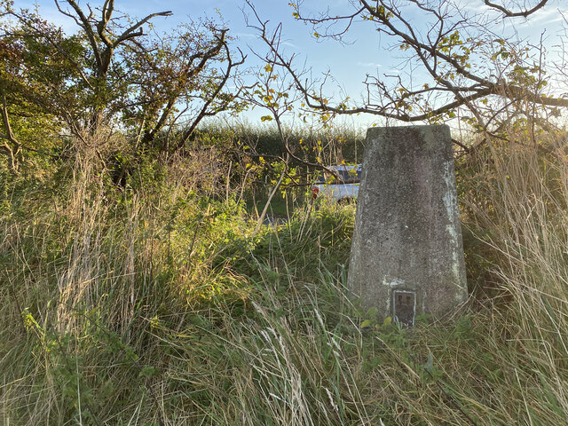
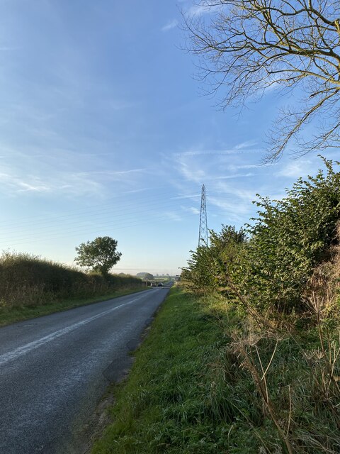
Audleby Square Wood Images
Images are sourced within 2km of 53.524528/-0.31139172 or Grid Reference TA1204. Thanks to Geograph Open Source API. All images are credited.


Audleby Square Wood is located at Grid Ref: TA1204 (Lat: 53.524528, Lng: -0.31139172)
Administrative County: Lincolnshire
District: West Lindsey
Police Authority: Lincolnshire
What 3 Words
///variously.atoms.reservoir. Near Caistor, Lincolnshire
Nearby Locations
Related Wikis
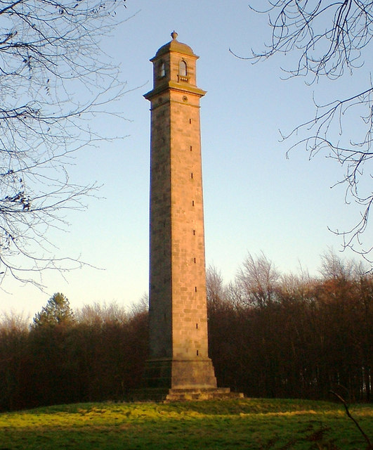
Pelham's Pillar
Pelham's Pillar is a monument dedicated to Charles Anderson-Pelham, 1st Earl of Yarborough who died in 1846. The Pillar is in Cabourne, West Lindsey on...
Clixby
Clixby is a small village and former civil parish, now in the parish of Grasby, in the West Lindsey district of Lincolnshire, England. It is situated approximately...
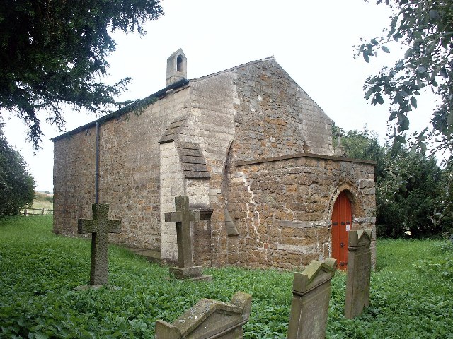
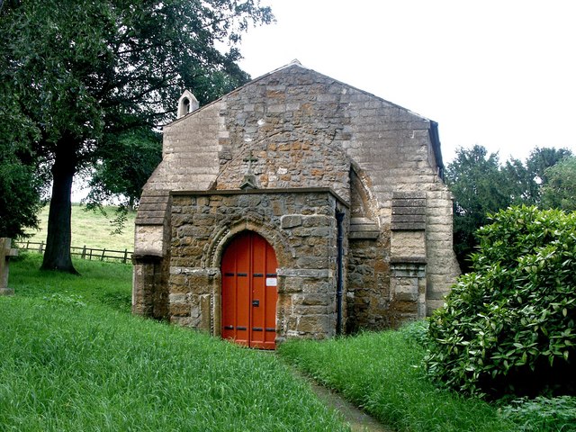
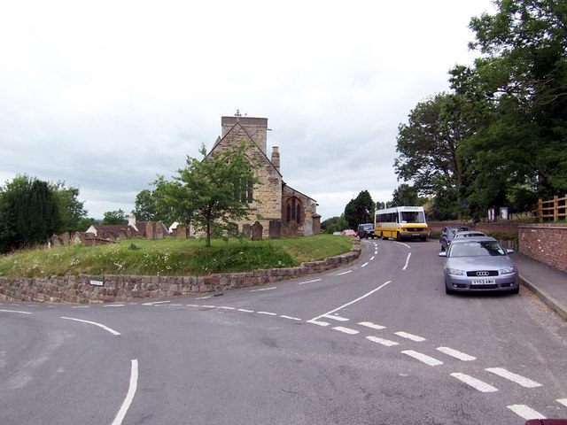
All Hallows Church, Clixby
All Hallows Church, Clixby, is a redundant Anglican church in the hamlet of Clixby, about 1 mile (1.6 km) east of the village of Grasby, Lincolnshire,...

North Riding of Lindsey
The North Riding of Lindsey was a division of the Lindsey part of Lincolnshire in England. It consisted of the north-eastern part of the county, and included...

Caistor Rural District
Caistor was a rural district in Lincolnshire, Parts of Lindsey from 1894 to 1974. It was formed by the Local Government Act 1894 from Caistor rural sanitary...
Caistor Yarborough Academy
Caistor Yarborough Academy is a mixed 11–16 yrs secondary school based in the Lincolnshire market town of Caistor, England. The school was founded as Caistor...
Caistor Grammar School
Caistor Grammar School is a selective school with academy status in the English town of Caistor in the county of Lincolnshire, England. The school was...
Grasby
Grasby is a small village and civil parish in the West Lindsey district of Lincolnshire, England. The population of the civil parish (including Clixby...
Nearby Amenities
Located within 500m of 53.524528,-0.31139172Have you been to Audleby Square Wood?
Leave your review of Audleby Square Wood below (or comments, questions and feedback).