Dipslade Coppice

Wood, Forest in Huntingdonshire Huntingdonshire

England

Dipslade Coppice

Junction with B660 High Street junction with B660
Junction with B660 Credit: Shaun Ferguson

The requested URL returned error: 429 Too Many Requests

If you have any feedback on the listing, please let us know in the comments section below.

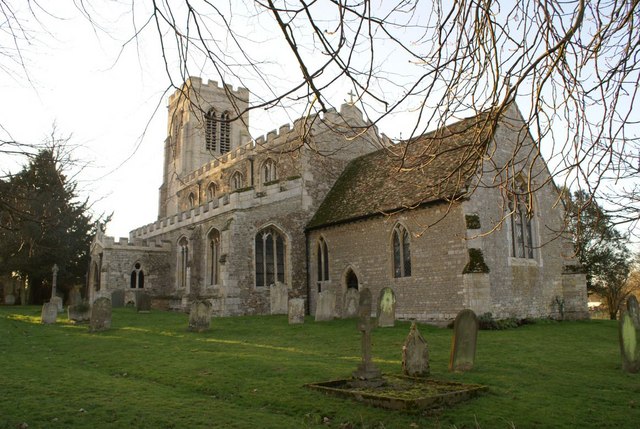
Dipslade Coppice Images

Images are sourced within 2km of 52.393874/-0.35746496 or Grid Reference TL1178. Thanks to Geograph Open Source API. All images are credited.

Junction with B660 High Street junction with B660
Junction with B660
High Street junction with B660
Footpath to Old Weston Road Off the B660 the footpath to Old Weston Road
Footpath to Old Weston Road
Off the B660 the footpath to Old Weston Road
High Street High Street by High Street Farm
High Street
High Street by High Street Farm
Bridleway to Grange Farm By the field edge the bridleway to Grange Farm
Bridleway to Grange Farm
By the field edge the bridleway to Grange Farm
Bridleway by Salome Lodge Road passing bridleway by Salome Lodge
Bridleway by Salome Lodge
Road passing bridleway by Salome Lodge
Minor road junction in Hamerton Roads to Leighton Bromswold, Winwick, Sawpit lane and Great Gidding can be selected from this junction.
Minor road junction in Hamerton
Roads to Leighton Bromswold, Winwick, Sawpit lane and Great Gidding can be selected from this junction.
Crop field off the B660
B660 towards Winwick
Farmland Old Weston
Farmland Old Weston
Entering Old Weston on the B660
High Street heading east
High Street Farm
High Street Farm
Barn, High Street Farm
High Street (Roman Road) heading east
Crop field near Salome Wood
Farmland off High Street
High Street (Roman Road) heading east
Show me another place!

Dipslade Coppice is located at Grid Ref: TL1178 (Lat: 52.393874, Lng: -0.35746496)

Administrative County: Cambridgeshire

District: Huntingdonshire

Police Authority: Cambridgeshire

What 3 Words

///partly.paddock.scarcely. Near Sawtry, Cambridgeshire

Nearby Locations

Dipslade Coppice

Related Wikis

Old Weston

Old Weston – in Huntingdonshire (now part of Cambridgeshire), England – is a village near Molesworth west of Huntingdon.In 1870–1872, John Wilson, who...

Winwick, Cambridgeshire

Winwick is a village and civil parish in Cambridgeshire, England. Winwick lies approximately 10 miles (16 km) north-west of Huntingdon. It is a crossroads...

Hamerton Zoo Park

Hamerton Zoo Park is situated in Hamerton, near Sawtry, Huntingdonshire, England. == Development == Planning permission for change of use from agricultural...

Hamerton

Hamerton is a village in and former civil parish, now in the parish of Hamerton and Steeple Gidding, in Cambridgeshire, England. Hamerton lies approximately...

Nearby Amenities

Located within 500m of 52.393874,-0.35746496
Power: pole
Lat/Long: 52.3916709/-0.3609529
Power: pole
Lat/Long: 52.3922487/-0.3595367
Power: pole
Lat/Long: 52.3937236/-0.3522653
Power: pole
Lat/Long: 52.3929493/-0.3567474
Power: pole
Lat/Long: 52.3934584/-0.3538183
Power: pole
Lat/Long: 52.3926875/-0.3582118
Power: pole
Lat/Long: 52.3910572/-0.3623638
Power: pole
Lat/Long: 52.3931916/-0.3553714
Power: transformer
Lat/Long: 52.3943094/-0.3508195
The data included in this document is from www.openstreetmap.org. The data is made available under ODbL.

Have you been to Dipslade Coppice?

Leave your review of Dipslade Coppice below (or comments, questions and feedback).