South Cloister Covert
Wood, Forest in Lincolnshire
England
South Cloister Covert

South Cloister Covert is a picturesque woodland located in Lincolnshire, England. Situated in the heart of the county, this enchanting forest is a haven for nature enthusiasts and offers visitors a peaceful and serene retreat from the hustle and bustle of everyday life.
Covering an area of approximately 100 hectares, South Cloister Covert is predominantly composed of mature deciduous trees, including oak, birch, and beech. The forest floor is adorned with a rich carpet of wildflowers, creating a vibrant and colorful landscape during the spring and summer months.
The woodland is intersected by a network of well-maintained footpaths, allowing visitors to explore its beauty at their own pace. These trails wind through ancient trees, providing ample opportunities for birdwatching and wildlife spotting. Common sightings include deer, rabbits, and a variety of woodland birds such as woodpeckers and owls.
South Cloister Covert also boasts a tranquil stream that meanders through the forest, adding to its natural charm. The stream is home to a diverse range of aquatic life, including fish and amphibians, making it a popular spot for nature photographers and wildlife enthusiasts.
The forest is managed by the local authorities, who ensure its conservation and protection. As such, visitors are encouraged to follow the designated paths and respect the natural environment.
South Cloister Covert is a hidden gem within Lincolnshire, offering visitors a chance to immerse themselves in the beauty and tranquility of nature. Whether it's a leisurely stroll, birdwatching, or simply enjoying a picnic amidst the trees, this woodland provides a sanctuary for all who venture into its depths.
If you have any feedback on the listing, please let us know in the comments section below.
South Cloister Covert Images
Images are sourced within 2km of 53.650999/-0.31068468 or Grid Reference TA1118. Thanks to Geograph Open Source API. All images are credited.


South Cloister Covert is located at Grid Ref: TA1118 (Lat: 53.650999, Lng: -0.31068468)
Unitary Authority: North Lincolnshire
Police Authority: Humberside
What 3 Words
///proofs.bullion.since. Near Goxhill, Lincolnshire
Nearby Locations
Related Wikis
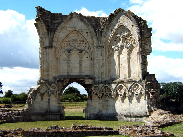
Thornton Abbey
Thornton Abbey was a medieval abbey located close to the small North Lincolnshire village of Thornton Curtis, near Ulceby, and directly south of Hull on...

Thornton Curtis railway station
Thornton Curtis railway station was a temporary structure provided by the Manchester, Sheffield and Lincolnshire Railway until it opened Thornton Abbey...

Thornton Abbey railway station
Thornton Abbey railway station is close to the site of Thornton Abbey in North Lincolnshire, England. It was built by the Great Grimsby and Sheffield Junction...
RAF North Killingholme
Royal Air Force North Killingholme or more simply RAF North Killingholme is a former Royal Air Force station located immediately west of the village of...

Goxhill Hall
Goxhill Hall is a late 17th-century residence and a Grade II* Listed building in Goxhill, North Lincolnshire. A 14th to 15th-century Medieval hall joins...

Cleethorpes (UK Parliament constituency)
Cleethorpes is a constituency created in 1997, represented in the House of Commons of the UK Parliament since 2010 by Martin Vickers of the Conservative...

East Halton
East Halton is a small village and civil parish in North Lincolnshire, England. It is situated close to the Humber estuary, approximately 4 miles (6 km...
North Killingholme
North Killingholme is a small village and civil parish in North Lincolnshire, England. Situated on the southern bank of the Humber Estuary north-west of...
Nearby Amenities
Located within 500m of 53.650999,-0.31068468Have you been to South Cloister Covert?
Leave your review of South Cloister Covert below (or comments, questions and feedback).