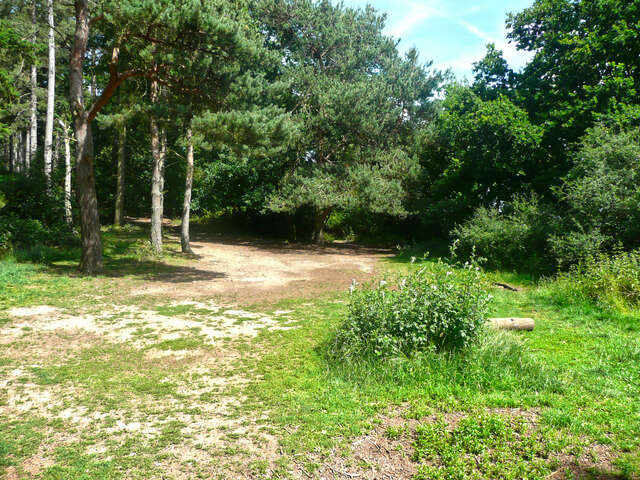
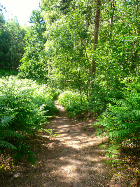
Upper Alders

Wood, Forest in Bedfordshire

England

Upper Alders

Campton Village Hall
Campton Village Hall Credit: Humphrey Bolton

The requested URL returned error: 429 Too Many Requests

If you have any feedback on the listing, please let us know in the comments section below.
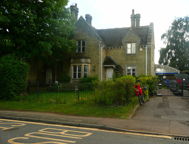
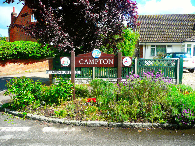
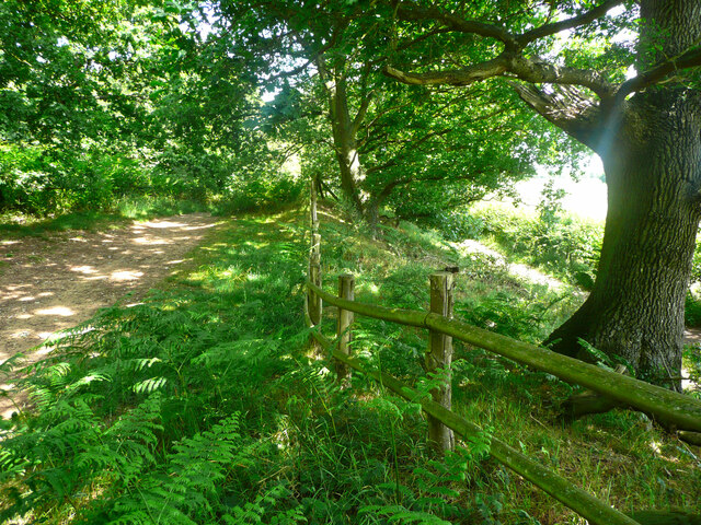
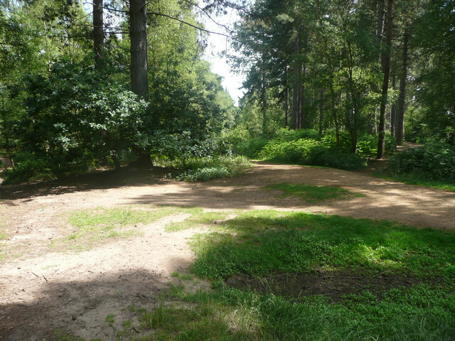
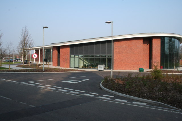
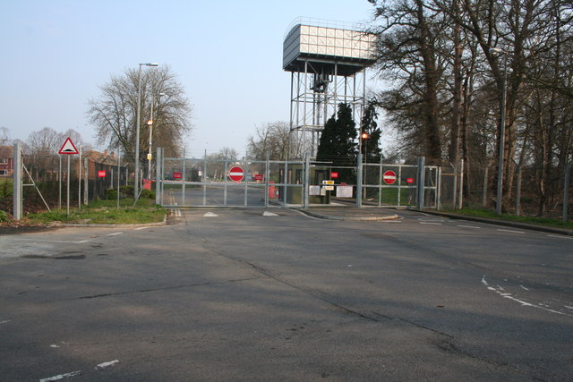
Upper Alders Images

Images are sourced within 2km of 52.037273/-0.37246272 or Grid Reference TL1138. Thanks to Geograph Open Source API. All images are credited.

Campton Village Hall
Brookside, Campton A cul-de-sac in the village, off Gravenhurst Road.
Brookside, Campton
A cul-de-sac in the village, off Gravenhurst Road.
The school house, Rectory Road, Campton
Mill Lane, Campton
Mill Lane, Campton
Gate at the end of Mill Lane, Campton This is on the drive to the former mill, which is now a house. A public footpath goes along the drive.
Gate at the end of Mill Lane, Campton
This is on the drive to the former mill, which is now a house. A public footpath goes along the drive.
Village sign, Campton This has the emblem for the 1951 Festival of Britain exhibition.
Village sign, Campton
This has the emblem for the 1951 Festival of Britain exhibition.
The White Hart, Mill Lane, Campton
Greenway, Campton Passing the churchyard wall.
Greenway, Campton
Passing the churchyard wall.
Poste Cottage, Greenway A thatched house, listed, Grade II.
Poste Cottage, Greenway
A thatched house, listed, Grade II.
Poste Cottage, Greenway, Campton A thatched house, listed Grade II.
Poste Cottage, Greenway, Campton
A thatched house, listed Grade II.
Trees in a field, seen from Greenway, Campton These are typical of parkland trees.
Trees in a field, seen from Greenway, Campton
These are typical of parkland trees.
Greenway, Campton Glebe Farm is on the left. The footway has been resurfaced with a very black material.
Greenway, Campton
Glebe Farm is on the left. The footway has been resurfaced with a very black material.
Part of the car park for Rowney Warren Wood, Southill The car park is also a picnic area.
Part of the car park for Rowney Warren Wood, Southill
The car park is also a picnic area.
Track in Rowney Warren Wood, Southill This track is along the southern edge of the wood.
Track in Rowney Warren Wood, Southill
This track is along the southern edge of the wood.
Path in Rowney Warren Wood, Southill It is all too easy to lose one's sense of direction in this wood, and also my GPS readings did not always indicate a position on one of the paths shown on the 1:25000 map.
Path in Rowney Warren Wood, Southill
It is all too easy to lose one's sense of direction in this wood, and also my GPS readings did not always indicate a position on one of the paths shown on the 1:25000 map.
Track in Rowney Warren Wood, Southill This track goes along the southern edge of the wood, and over the boundary fence at a lower level there is a bridleway, which is part of the John Bunyan Trail. Along the length of the track that I walked there was no connection between the two paths.
Track in Rowney Warren Wood, Southill
This track goes along the southern edge of the wood, and over the boundary fence at a lower level there is a bridleway, which is part of the John Bunyan Trail. Along the length of the track that I walked there was no connection between the two paths.
The John Bunyan Trail at the A600, Shefford The roundabout is at the junction with the B658 Sandy road.
The John Bunyan Trail at the A600, Shefford
The roundabout is at the junction with the B658 Sandy road.
Track junction in Rowney Warren Wood, Southill I am not certain about the grid reference.
Track junction in Rowney Warren Wood, Southill
I am not certain about the grid reference.
Show me another place!

Upper Alders is located at Grid Ref: TL1138 (Lat: 52.037273, Lng: -0.37246272)

Unitary Authority: Central Bedfordshire

Police Authority: Bedfordshire

What 3 Words

///affords.postings.elbowed. Near Chicksands, Bedfordshire

Nearby Locations

Upper Alders

Related Wikis

Chicksands

Chicksands is a village and former civil parish, now in the parish of Campton and Chicksands in the Central Bedfordshire district of Bedfordshire, England...

Beadlow

Beadlow is a hamlet in the Central Bedfordshire district of Bedfordshire, England. At the 2011 Census the population of the hamlet was included in the...

HMS Ferret (1982 shore establishment)

HMS Ferret is a training unit of the Royal Naval Reserve based at MOD Chicksands in Bedfordshire. == History == HMS Ferret was initially established at...

RAF Chicksands

Royal Air Force Chicksands or more simply RAF Chicksands, was a Royal Air Force station located 7.7 miles (12.4 km) south east of Bedford, Bedfordshire...

Nearby Amenities

Located within 500m of 52.037273,-0.37246272
Parking
Access: yes
Capacity: 5
Fee: no
Parking: lane
Surface: paved
Lat/Long: 52.0333953/-0.3705464
Power: pole
Lat/Long: 52.0368152/-0.3795514
Power: pole
Lat/Long: 52.0376022/-0.3783524
Power: pole
Lat/Long: 52.0383579/-0.3771615
Power: pole
Lat/Long: 52.0391152/-0.3760082
Power: pole
Lat/Long: 52.0396943/-0.3750962
Power: pole
Lat/Long: 52.0400193/-0.37368
Power: pole
Lat/Long: 52.0401323/-0.3731033
Power: pole
Lat/Long: 52.038998/-0.3742164
Power: pole
Lat/Long: 52.0377474/-0.3753457
Power: pole
Lat/Long: 52.0372095/-0.3768048
Power: pole
Lat/Long: 52.0366139/-0.3782934
The data included in this document is from www.openstreetmap.org. The data is made available under ODbL.

Have you been to Upper Alders?

Leave your review of Upper Alders below (or comments, questions and feedback).