Ridge Hanger
Wood, Forest in Sussex Horsham
England
Ridge Hanger

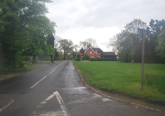
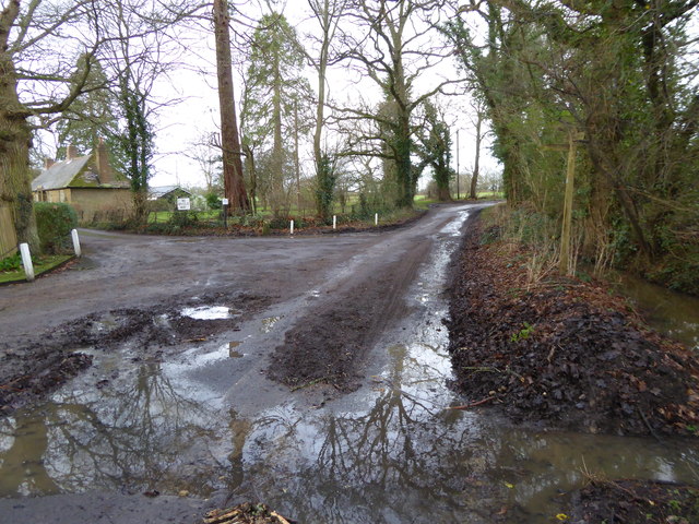
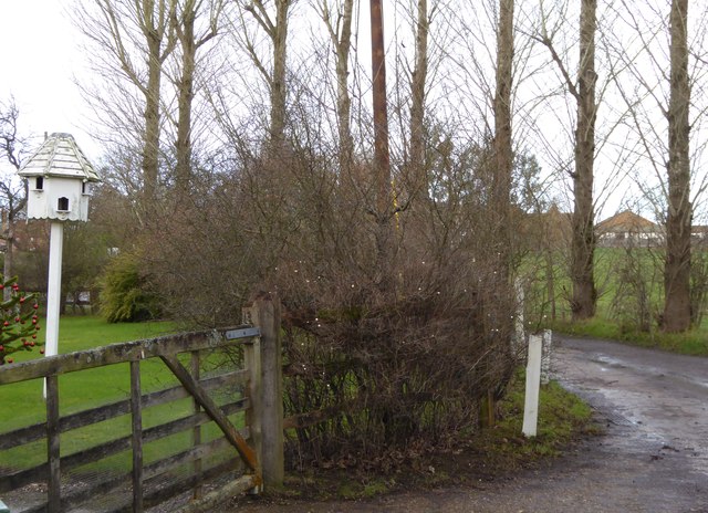
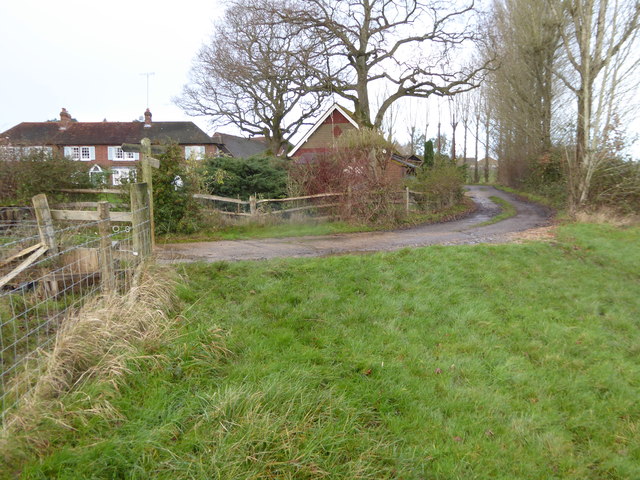
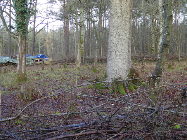
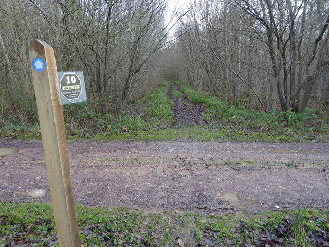
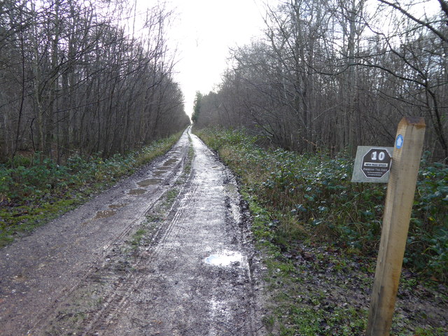
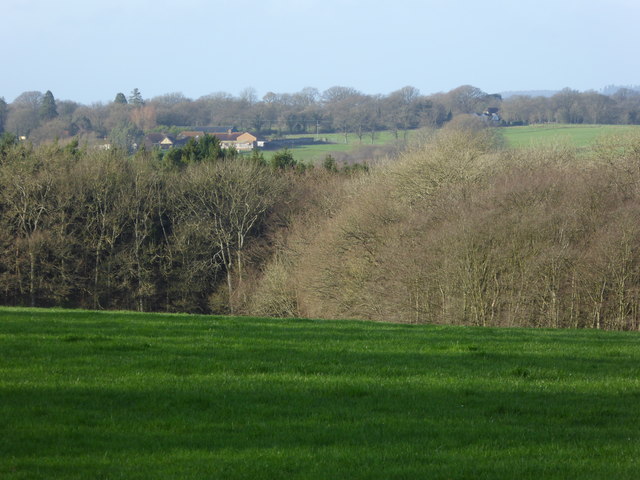
Ridge Hanger is a small woodland area located in Sussex, England. Situated on the southern slopes of the South Downs, this forested area is known for its stunning natural beauty and tranquil atmosphere. Covering an approximate area of 200 acres, Ridge Hanger is predominantly made up of dense woodland, featuring a variety of tree species including oak, beech, and ash.
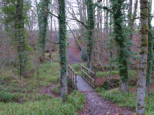
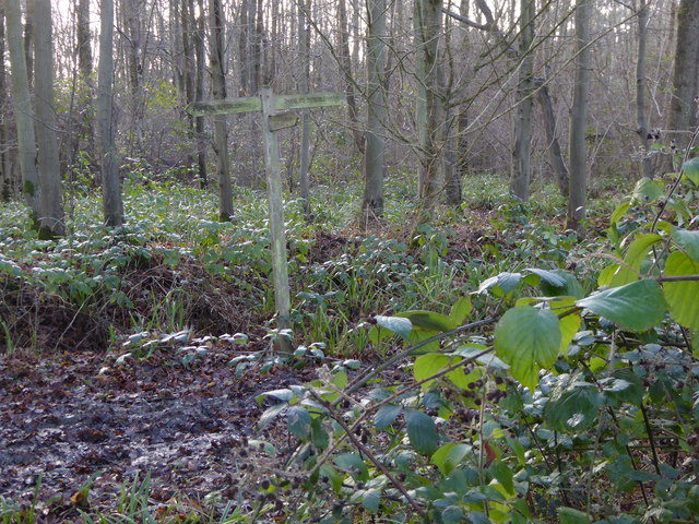
The woodland is characterized by its undulating terrain, with the ridge of the South Downs providing a picturesque backdrop. The forest floor is carpeted with a rich layer of leaf litter and moss, creating a habitat ideal for a diverse range of flora and fauna. Visitors to Ridge Hanger can expect to encounter a plethora of wildlife, including deer, squirrels, and a variety of bird species.
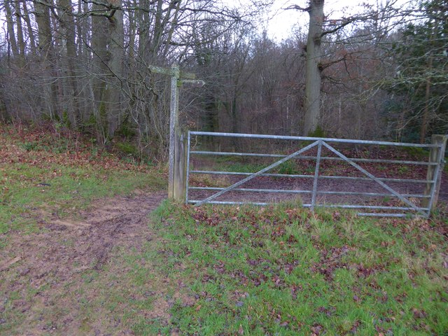
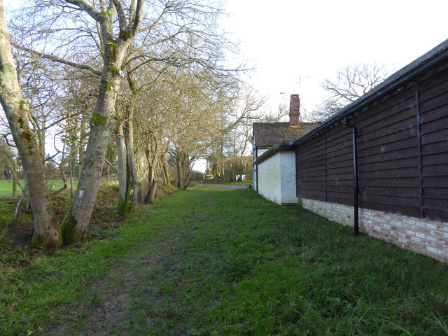
The forest is crisscrossed with a network of walking trails, allowing visitors to explore and appreciate the natural beauty of the area. These trails lead visitors through the heart of the woodland, offering breathtaking views of the surrounding countryside.
Ridge Hanger is a popular destination for nature enthusiasts and outdoor lovers alike. Whether it's for a leisurely stroll, birdwatching, or simply to escape the hustle and bustle of everyday life, this woodland sanctuary offers a peaceful retreat for all who visit.
If you have any feedback on the listing, please let us know in the comments section below.
Ridge Hanger Images
Images are sourced within 2km of 51.104809/-0.40561247 or Grid Reference TQ1135. Thanks to Geograph Open Source API. All images are credited.


Ridge Hanger is located at Grid Ref: TQ1135 (Lat: 51.104809, Lng: -0.40561247)
Administrative County: West Sussex
District: Horsham
Police Authority: Sussex
What 3 Words
///innovator.congested.butlers. Near Slinfold, West Sussex
Nearby Locations
Related Wikis

High Weald AONB
The High Weald Area of Outstanding Natural Beauty is in south-east England. Covering an area of 1,450 square kilometres (560 sq mi), it takes up parts...

Stane Street (Chichester)
Stane Street is the modern name of the 91 km-long (57 mi) Roman road in southern England that linked Londinium (London) to Noviomagus Reginorum (Chichester...

Smokejack Clay Pit
Smokejack Clay Pit is a 56-hectare (140-acre) geological Site of Special Scientific Interest east of Cranleigh in Surrey. It is a Geological Conservation...

Holy Trinity Church, Rudgwick
Holy Trinity Church is the Anglican parish church of Rudgwick, a village in the Horsham district of West Sussex, England. The oldest part of the church...

Rudgwick
Rudgwick is a village and civil parish in the Horsham District of West Sussex, England. The village is 6 miles (10 km) west from Horsham on the north...
Rudgwick railway station
Rudgwick railway station was on the Cranleigh Line. It served the village of Rudgwick in West Sussex until June, 1965. == History == Rudgwick station opened...

Slinfold Stream and Quarry
Slinfold Stream and Quarry is a 2.3-hectare (5.7-acre) geological Site of Special Scientific Interest west of Horsham in West Sussex. It is a Geological...

Baynards Park
Baynards Park is a 2,000 acres (810 ha) estate and site of a demolished country house with extant outbuildings, privately owned, in the south of the parishes...
Nearby Amenities
Located within 500m of 51.104809,-0.40561247Have you been to Ridge Hanger?
Leave your review of Ridge Hanger below (or comments, questions and feedback).