Haverholme Wood
Wood, Forest in Lincolnshire North Kesteven
England
Haverholme Wood
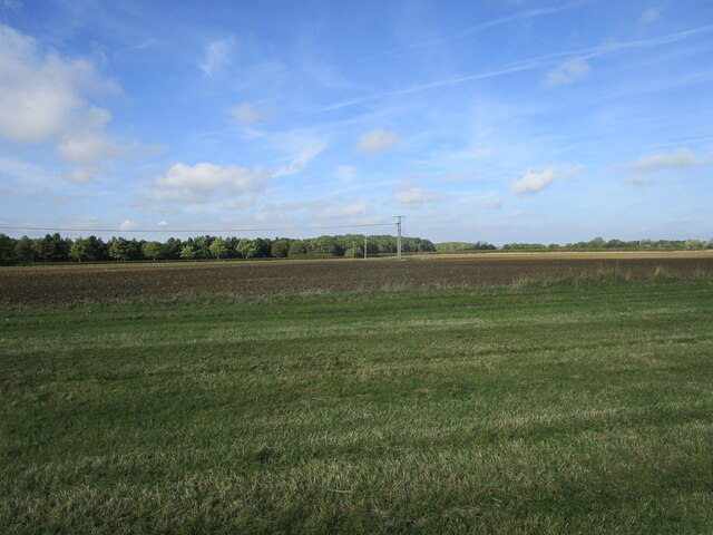
Haverholme Wood is a picturesque woodland located in Lincolnshire, England. Covering an area of approximately 80 acres, it is renowned for its natural beauty and rich biodiversity. The wood is situated on the banks of the River Slea, providing a tranquil and scenic setting for visitors to enjoy.
The wood is predominantly made up of broadleaf trees, including oak, ash, and beech, which create a dense canopy and provide shelter for a variety of wildlife. The forest floor is carpeted with a diverse range of flora, such as bluebells, wood anemones, and wild garlic, adding to the wood's charm and beauty.
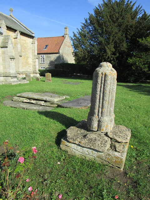
Haverholme Wood has a long history, dating back to the medieval period when it was part of Haverholme Priory. The remains of the priory can still be seen within the wood, including a picturesque lake that was once used for fishing by the monks.
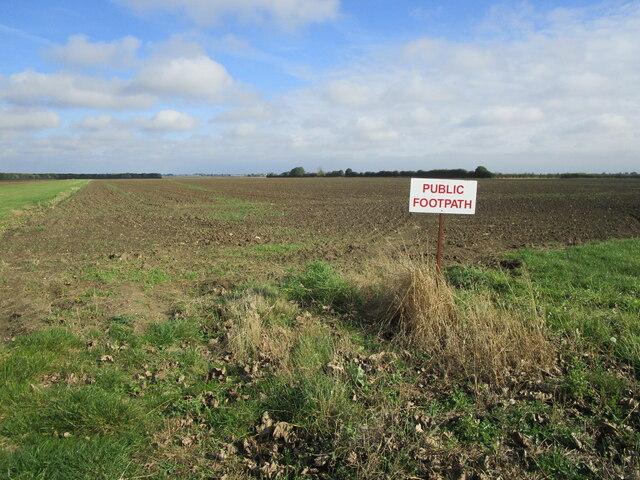
In addition to its natural attractions, Haverholme Wood offers numerous recreational activities for visitors. There are several well-maintained walking trails that wind through the wood, allowing visitors to explore its hidden corners and discover its hidden gems. Birdwatching is also a popular pastime, with a variety of species, including woodpeckers, kingfishers, and warblers, making their homes in the wood.
Overall, Haverholme Wood is a haven for nature lovers and outdoor enthusiasts, offering a peaceful retreat from the hustle and bustle of everyday life. With its stunning landscapes, diverse wildlife, and rich history, it is a must-visit destination for anyone seeking to connect with nature in Lincolnshire.
If you have any feedback on the listing, please let us know in the comments section below.
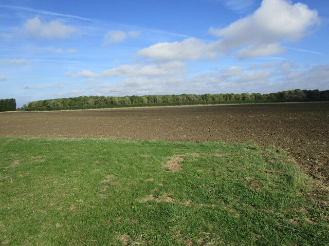
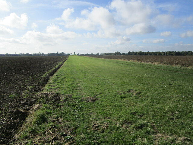
Haverholme Wood Images
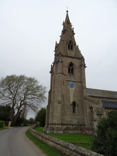
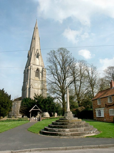
Images are sourced within 2km of 53.031879/-0.33782854 or Grid Reference TF1149. Thanks to Geograph Open Source API. All images are credited.


Haverholme Wood is located at Grid Ref: TF1149 (Lat: 53.031879, Lng: -0.33782854)
Administrative County: Lincolnshire
District: North Kesteven
Police Authority: Lincolnshire
What 3 Words
///escape.protest.decorator. Near Ruskington, Lincolnshire
Nearby Locations
Related Wikis

Haverholme
Haverholme is a hamlet and site of Haverholme Priory in the North Kesteven district of Lincolnshire, England. It is situated about 4 miles (6 km) north...
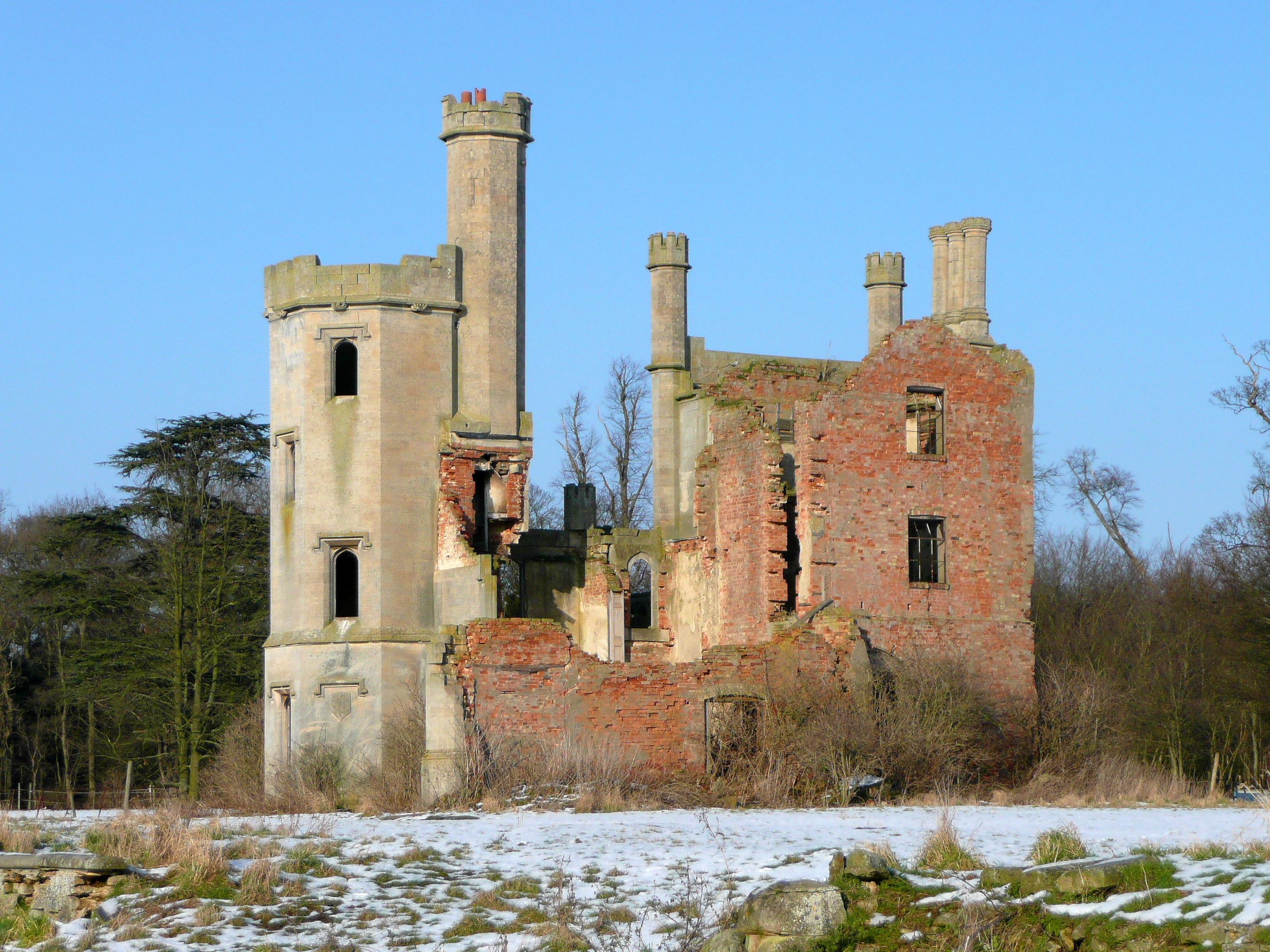
Haverholme Priory
Haverholme Priory was a monastery in Lincolnshire, England. Its remains are situated 4 miles (6 km) north-east of the town of Sleaford and less than 1...

Anwick
Anwick is a small village and civil parish in the North Kesteven district of Lincolnshire, England. The population of the civil parish at the 2011 census...
Ewerby and Evedon
Ewerby and Evedon is a civil parish in North Kesteven, Lincolnshire, England. It includes the villages of Ewerby and Evedon, the hamlet of Haverholme,...
Have you been to Haverholme Wood?
Leave your review of Haverholme Wood below (or comments, questions and feedback).