Mill Holt

Wood, Forest in Lincolnshire North Kesteven

England

Mill Holt

Thorpe Tinley Drove
Thorpe Tinley Drove Credit: David Lally

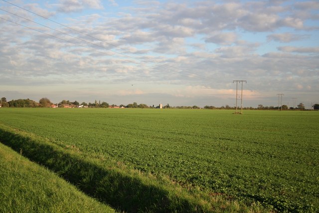
Mill Holt is a picturesque woodland area located in the county of Lincolnshire, England. Situated near the village of Wood, the forest is renowned for its natural beauty and tranquil atmosphere. It covers an extensive area of lush greenery, with towering trees, dense undergrowth, and a variety of wildlife.

The forest is predominantly composed of deciduous trees such as oak, beech, and birch, which create a stunning tapestry of colors during the autumn months. It is crisscrossed by numerous walking trails, allowing visitors to explore its enchanting surroundings while immersing themselves in nature.

Mill Holt is home to a diverse range of flora and fauna. Birdwatchers will delight in spotting various species of woodland birds, including woodpeckers, song thrushes, and tawny owls. The forest also provides a habitat for small mammals like squirrels, rabbits, and foxes.

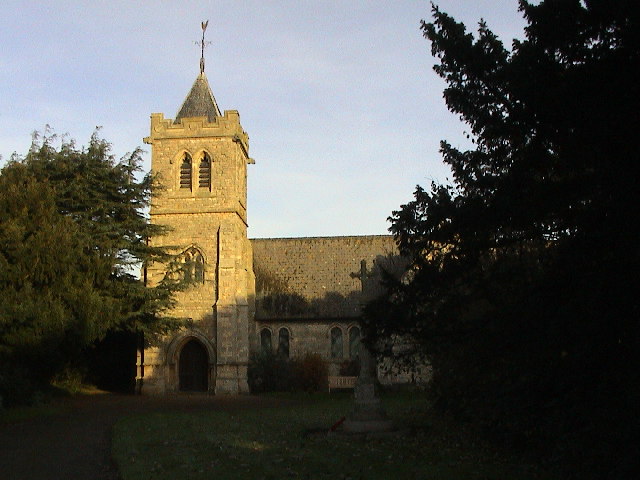
The area has a rich history, with evidence of human activity dating back to the prehistoric era. Archaeological discoveries have revealed ancient settlements and burial grounds, providing insights into the lives of early inhabitants.

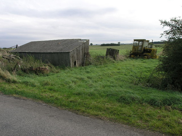
Today, Mill Holt is a popular destination for nature enthusiasts, hikers, and those seeking a peaceful retreat. Visitors can enjoy leisurely walks, picnics, or simply bask in the tranquility of the forest. The area is well-maintained, with designated picnic areas, benches, and information boards to enhance the visitor experience.

In conclusion, Mill Holt in Lincolnshire is a captivating woodland that offers a haven of natural beauty and serenity. Whether exploring the trails, observing wildlife, or simply unwinding amidst the stunning surroundings, it is a place that truly encapsulates the essence of the English countryside.

If you have any feedback on the listing, please let us know in the comments section below.

Mill Holt Images

Images are sourced within 2km of 53.107205/-0.33574713 or Grid Reference TF1157. Thanks to Geograph Open Source API. All images are credited.

Thorpe Tinley Drove
Thorpe Tinley Drove
Tracks in a crop field Heading eastwards.
Tracks in a crop field
Heading eastwards.
Farm buildings, Scargate Lane
A collection of old level crossing gates There are three main gates and two pedestrian gates stacked here.
A collection of old level crossing gates
There are three main gates and two pedestrian gates stacked here.
Scargate Lane
Scargate Lane
Track through a wet field
Not the footpath to Kirkby Green The footpath has been ploughed up so I am following the field edge.
Scopwick Beck on the left.
Not the footpath to Kirkby Green
The footpath has been ploughed up so I am following the field edge. Scopwick Beck on the left.
Bench by a drain Presumably placed there by the inhabitants of Rowston Field.
Bench by a drain
Presumably placed there by the inhabitants of Rowston Field.
Where the footpath should be But it is far too wet to try to cross this.
Where the footpath should be
But it is far too wet to try to cross this.
Roadside
Roadside
Timberland The Post Office
Timberland
The Post Office
Timberland The Penny Farthing <span class="nowrap"><a title="http://www.martintimberland.co.uk/timberland/penny/penny.php" rel="nofollow ugc noopener" href="http://www.martintimberland.co.uk/timberland/penny/penny.php">Link</a><img style="margin-left:2px;" alt="External link" title="External link - shift click to open in new window" src="https://s1.geograph.org.uk/img/external.png" width="10" height="10"/></span>
Timberland
The Penny Farthing LinkExternal link
View towards Timberland View from Long Holt towards Timberland with St.Andrew's church tower on the centre horizon
View towards Timberland
View from Long Holt towards Timberland with St.Andrew's church tower on the centre horizon
Shed and Tractor The shed is wooden and looking a little worse for wear.  The tractor is a Track Marshall.
Shed and Tractor
The shed is wooden and looking a little worse for wear. The tractor is a Track Marshall.
Path to Walcott A footpath runs by the side of this hedge to nearby Walcott.
Path to Walcott
A footpath runs by the side of this hedge to nearby Walcott.
Bendy Drain This land drain is unusual in that it does not follow the usual design of being straight.
Bendy Drain
This land drain is unusual in that it does not follow the usual design of being straight.
Priory Lodge Priory Lodge at the entrance to Priory Farm
Priory Lodge
Priory Lodge at the entrance to Priory Farm
The western edge of Martin village The yellow panels of the speed restriction signs almost blend into the yellow rape.
The western edge of Martin village
The yellow panels of the speed restriction signs almost blend into the yellow rape.
Show me another place!

Mill Holt is located at Grid Ref: TF1157 (Lat: 53.107205, Lng: -0.33574713)

Administrative County: Lincolnshire

District: North Kesteven

Police Authority: Lincolnshire

What 3 Words

///spoils.bins.conforms. Near Billinghay, Lincolnshire

Nearby Locations

Thorpe Tilney Mill Holt

Related Wikis

Timberland, Lincolnshire

Timberland is a village in the North Kesteven district of Lincolnshire, England. The population of the civil parish (including Thorpe Tilney) at the 2011...

Thorpe Tilney

Thorpe Tilney is a hamlet in the civil parish of Timberland in the district of North Kesteven, in the county of Lincolnshire, England. The hamlet is located...

Walcott, Lincolnshire

Walcott is a small village and civil parish in the North Kesteven district of Lincolnshire, England. The population of the civil parish at the 2011 census...

Scopwick and Timberland railway station

Scopwick and Timberland railway station was a station in Scopwick, Lincolnshire, which was open between 1882 and 1955. == History == The railway line between...

Martin, North Kesteven

Martin is a small village and civil parish in the North Kesteven district of Lincolnshire, England. The population at the 2011 census was 866. It lies...

Catley Priory

Catley Priory was a monastic house in Walcott, Lincolnshire, England. The Gilbertine priory of Saint Mary, Catley, was founded as a double house for...

Kirkby Green

Kirkby Green is a small village in the North Kesteven district of Lincolnshire, England. The village lies east from Scopwick on the B1191 road to Timberland...

Metheringham Lass

The Metheringham Lass is the name given to an apparition which has been reported at RAF Metheringham. Reports have stated that the woman, wearing a jacket...

Nearby Amenities

Located within 500m of 53.107205,-0.33574713
Power: pole
Source: Bing
Lat/Long: 53.1090998/-0.3355373
Power: pole
Source: Bing
Lat/Long: 53.1107557/-0.3402221
Material: wood
Power: pole
Source: Bing
Lat/Long: 53.1099395/-0.3379231
Power: pole
Source: Bing
Lat/Long: 53.108244/-0.3331384
Power: pole
Source: Bing
Lat/Long: 53.1074115/-0.3307687
Power: pole
Source: Bing
Lat/Long: 53.1101101/-0.3361036
Power: pole
Source: Bing
Lat/Long: 53.1102759/-0.3344205
Power: pole
Source: Bing
Lat/Long: 53.1104345/-0.3327575
Material: wood
Power: pole
Source: Bing
Lat/Long: 53.1099709/-0.3377679
Power: pole
Source: Bing
Lat/Long: 53.1097003/-0.3315881
Power: pole
Source: Bing
Lat/Long: 53.1089557/-0.3304039
Top Farm
Place: farm
Source: Bing
Lat/Long: 53.107179/-0.3413699
Power: pole
Source: Bing
Lat/Long: 53.1065435/-0.3284026
Power: pole
Source: Bing
Lat/Long: 53.1082105/-0.3292217
Power: pole
Lat/Long: 53.1077561/-0.3422982
Power: pole
Lat/Long: 53.1097414/-0.341574
Power: pole
Lat/Long: 53.1098509/-0.3401202
Material: wood
Power: pole
Lat/Long: 53.1099587/-0.3384519
The data included in this document is from www.openstreetmap.org. The data is made available under ODbL.

Have you been to Mill Holt?

Leave your review of Mill Holt below (or comments, questions and feedback).