Lilleypark Wood
Wood, Forest in Hertfordshire North Hertfordshire
England
Lilleypark Wood
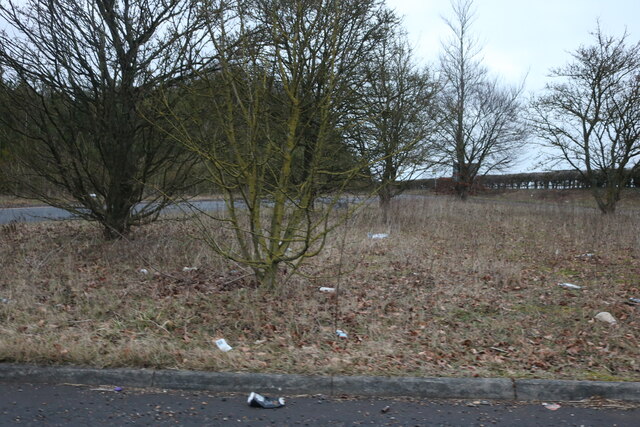
Lilleypark Wood is a picturesque woodland located in Hertfordshire, England. Covering an area of approximately 20 hectares, this ancient forest is a haven of tranquility and natural beauty.
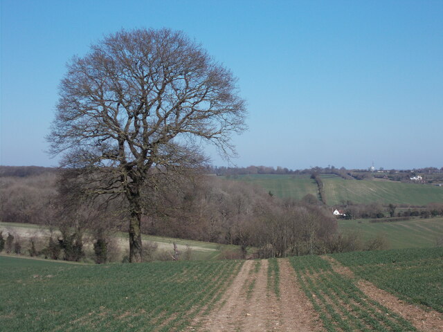
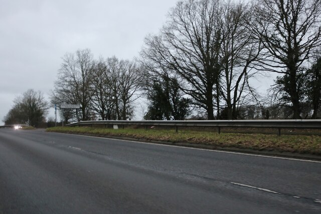
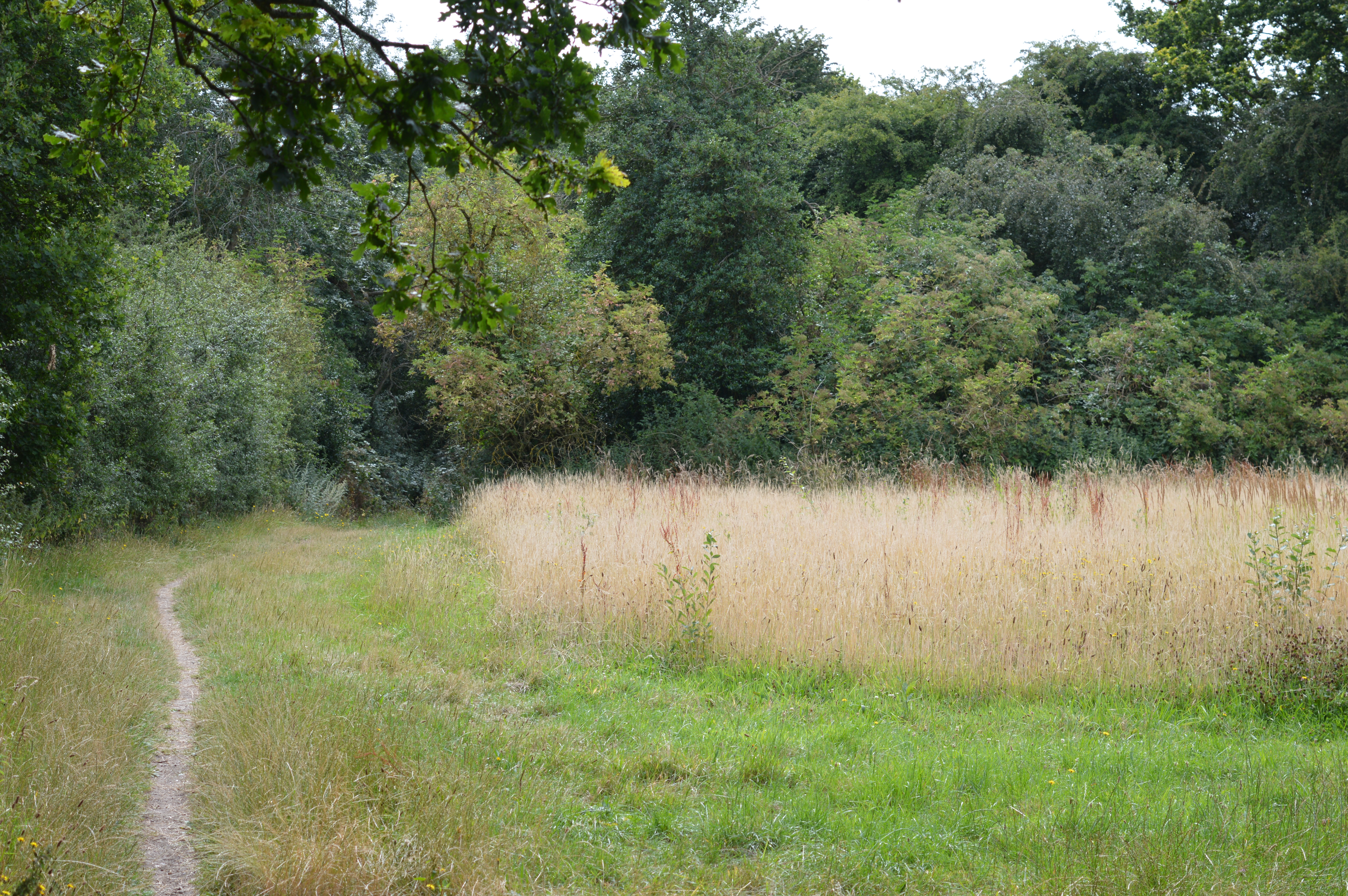
The wood is situated on a gently sloping hillside, allowing for stunning views of the surrounding countryside. It is primarily made up of a diverse range of tree species, including oak, beech, ash, and birch. The dense canopy created by these majestic trees provides a cool and shaded environment, perfect for leisurely walks and exploring nature.
The forest floor of Lilleypark Wood is covered in a rich carpet of wildflowers, ferns, and mosses, creating a vibrant and colorful undergrowth. This thriving ecosystem is home to a variety of wildlife, including deer, foxes, badgers, and a myriad of bird species. Nature enthusiasts will delight in the opportunity to observe these animals in their natural habitat.
There are several well-maintained walking trails that wind through the wood, offering visitors the chance to immerse themselves in the serene surroundings. These paths are suitable for all ages and fitness levels, making Lilleypark Wood an ideal destination for family outings or peaceful solo strolls.
The wood is open to the public throughout the year, and there are designated picnic areas where visitors can enjoy a packed lunch amidst the stunning natural scenery. Additionally, the wood is a popular spot for nature photography and sketching, with its picturesque landscapes providing endless inspiration.
Lilleypark Wood is a true gem within Hertfordshire, offering a peaceful retreat from the hustle and bustle of everyday life. Its beauty and tranquility make it a must-visit destination for nature lovers and those seeking a connection with the great outdoors.
If you have any feedback on the listing, please let us know in the comments section below.
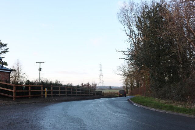
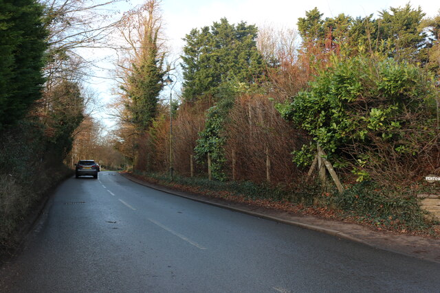
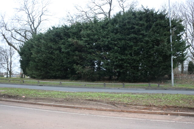
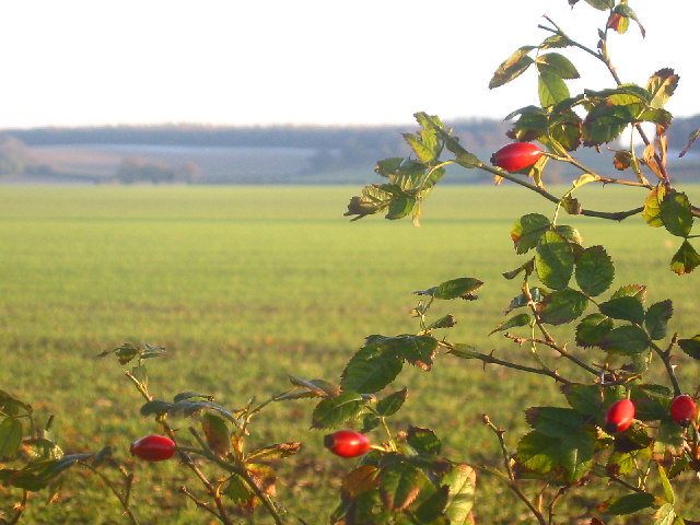
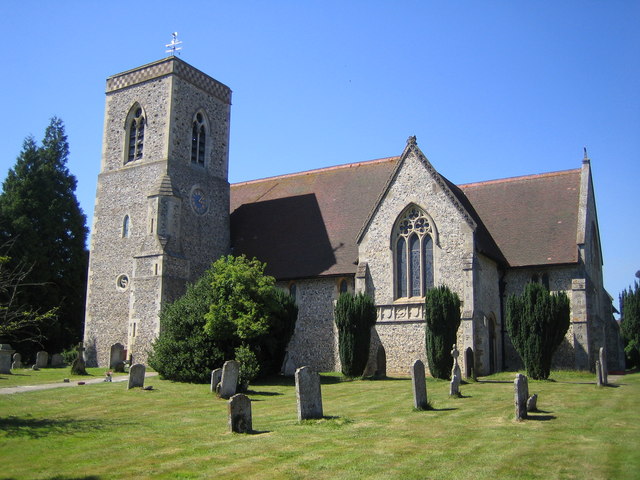
Lilleypark Wood Images
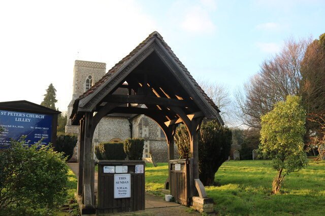
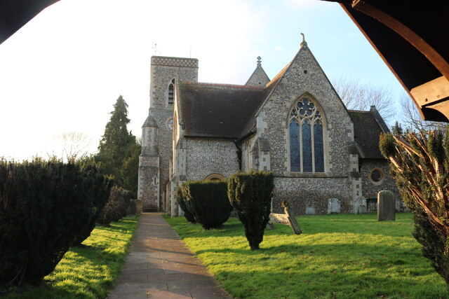
Images are sourced within 2km of 51.921737/-0.38077454 or Grid Reference TL1126. Thanks to Geograph Open Source API. All images are credited.


Lilleypark Wood is located at Grid Ref: TL1126 (Lat: 51.921737, Lng: -0.38077454)
Administrative County: Hertfordshire
District: North Hertfordshire
Police Authority: Hertfordshire
What 3 Words
///tapes.defeat.pays. Near Streatley, Bedfordshire
Nearby Locations
Related Wikis
Lilley, Hertfordshire
Lilley is a small village and civil parish situated between Hitchin and Luton in Hertfordshire, England. Lilley stands on high ground: nearby Telegraph...
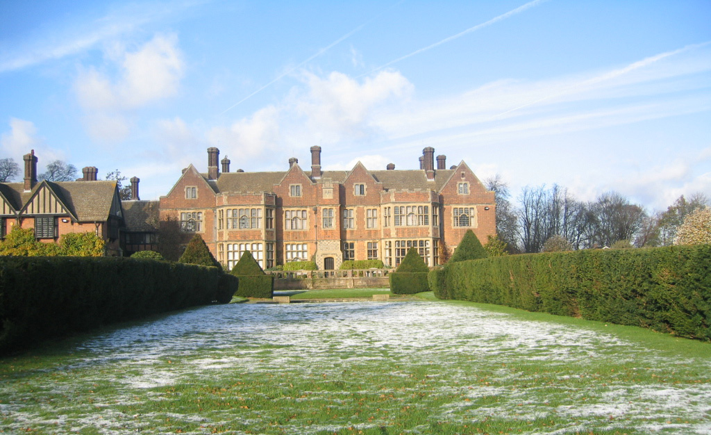
Putteridge Bury
Putteridge Bury is a country house on the edge of the built-up area of Luton, Bedfordshire, England but located just over the county boundary in the parish...

Butterfield Green
Butterfield Green is a hamlet in the north of Luton, Bedfordshire, England. It is the location for the new 85-acre (340,000 m2) Butterfield Business and...
Putteridge
Putteridge is a suburb at the north-eastern edge of Luton, in Bedfordshire, England. Putteridge is a little over 2 miles (3.2 km) from Luton town centre...
Putteridge High School
Putteridge High School is a co-educational secondary school located in the Putteridge area of Luton, in the English county of Bedfordshire. == History... ==

Galley and Warden Hills
Galley and Warden Hills is a 47 hectare biological Site of Special Scientific Interest in Warden Hill, a suburb of Luton in Bedfordshire. The local planning...
Telegraph Hill, Hertfordshire
Telegraph Hill is a nature reserve near Lilley in north Hertfordshire. It is in the Chilterns Area of Outstanding Natural Beauty (AONB). According to...

Stopsley
Stopsley is a suburb in the north-east of Luton, Bedfordshire, England. The area is roughly bounded by the edge of Luton to the north, Vauxhall Way and...
Nearby Amenities
Located within 500m of 51.921737,-0.38077454Have you been to Lilleypark Wood?
Leave your review of Lilleypark Wood below (or comments, questions and feedback).