Audleby Wood
Wood, Forest in Lincolnshire West Lindsey
England
Audleby Wood
Audleby Wood is a picturesque woodland located in Lincolnshire, England. It spans an area of approximately 100 acres and is known for its diverse range of flora and fauna. The woodland is situated near the village of Audleby, offering a peaceful and tranquil escape from the bustling city life.
The wood is primarily composed of broadleaf trees, including oak, ash, and beech, which create a dense canopy overhead. These trees provide a habitat for a wide variety of wildlife, including squirrels, rabbits, and various species of birds. It is not uncommon to spot woodpeckers tapping away at the tree trunks or hear the melodic chirping of songbirds.
The forest floor is covered in a thick carpet of wildflowers, adding a splash of color to the tranquil surroundings. Bluebells, primroses, and violets are just a few of the species that bloom in spring, creating a stunning display of vibrant hues. In autumn, the wood is transformed into a golden paradise as the leaves change color and fall to the ground.
Audleby Wood is a popular destination for nature lovers, hikers, and photographers alike. The well-maintained walking trails wind their way through the woodland, offering visitors the opportunity to explore the area at their own pace. There are also designated picnic areas and benches where visitors can rest and take in the natural beauty of the surroundings.
Overall, Audleby Wood is a hidden gem in Lincolnshire, providing a haven for both wildlife and humans alike. With its lush vegetation, diverse wildlife, and serene atmosphere, it is a must-visit destination for nature enthusiasts looking to reconnect with the natural world.
If you have any feedback on the listing, please let us know in the comments section below.
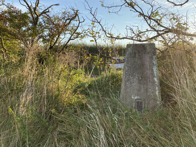
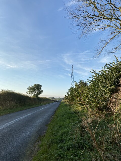
Audleby Wood Images
Images are sourced within 2km of 53.519152/-0.32285805 or Grid Reference TA1103. Thanks to Geograph Open Source API. All images are credited.


Audleby Wood is located at Grid Ref: TA1103 (Lat: 53.519152, Lng: -0.32285805)
Administrative County: Lincolnshire
District: West Lindsey
Police Authority: Lincolnshire
What 3 Words
///musical.knees.distilled. Near Caistor, Lincolnshire
Nearby Locations
Related Wikis
Clixby
Clixby is a small village and former civil parish, now in the parish of Grasby, in the West Lindsey district of Lincolnshire, England. It is situated approximately...
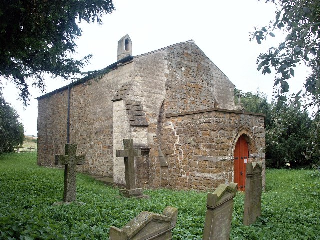
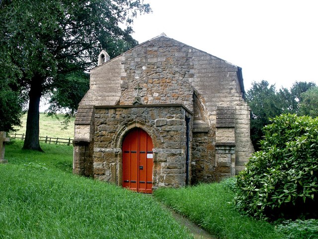
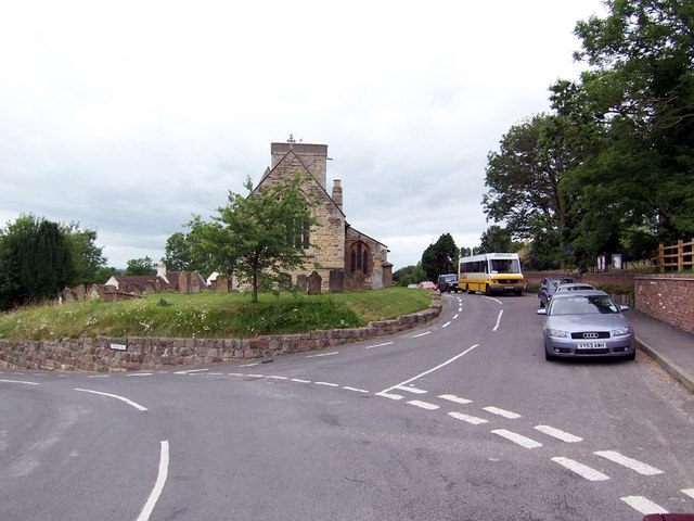
All Hallows Church, Clixby
All Hallows Church, Clixby, is a redundant Anglican church in the hamlet of Clixby, about 1 mile (1.6 km) east of the village of Grasby, Lincolnshire,...
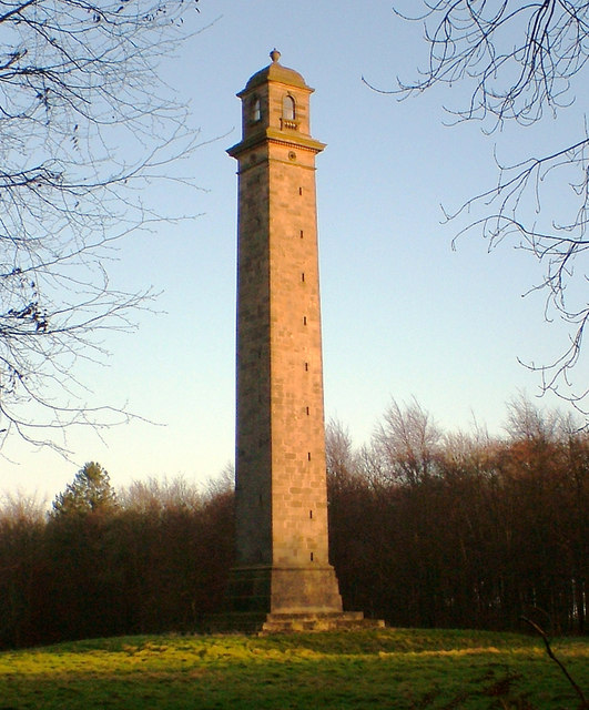
Pelham's Pillar
Pelham's Pillar is a monument dedicated to Charles Anderson-Pelham, 1st Earl of Yarborough who died in 1846. The Pillar is in Cabourne, West Lindsey on...
Caistor Grammar School
Caistor Grammar School is a selective school with academy status in the English town of Caistor in the county of Lincolnshire, England. The school was...

Caistor Yarborough Academy
Caistor Yarborough Academy is a mixed 11–16 yrs secondary school based in the Lincolnshire market town of Caistor, England. The school was founded as Caistor...
North Riding of Lindsey
The North Riding of Lindsey was a division of the Lindsey part of Lincolnshire in England. It consisted of the north-eastern part of the county, and included...

Caistor Rural District
Caistor was a rural district in Lincolnshire, Parts of Lindsey from 1894 to 1974. It was formed by the Local Government Act 1894 from Caistor rural sanitary...
Grasby
Grasby is a small village and civil parish in the West Lindsey district of Lincolnshire, England. The population of the civil parish (including Clixby...
Nearby Amenities
Located within 500m of 53.519152,-0.32285805Have you been to Audleby Wood?
Leave your review of Audleby Wood below (or comments, questions and feedback).