Guyhurst Copse
Wood, Forest in Sussex Horsham
England
Guyhurst Copse
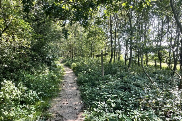
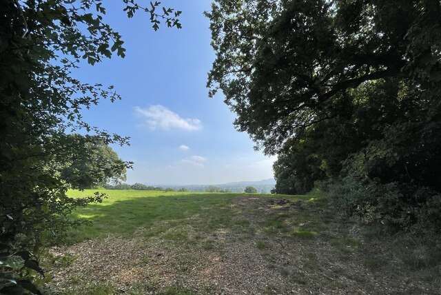
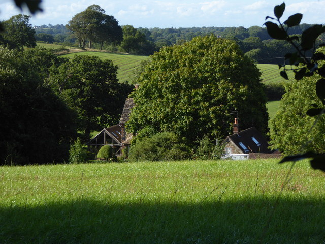
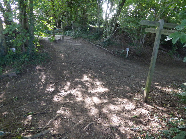
Guyhurst Copse is a picturesque woodland located in Sussex, England. Nestled in the heart of the South Downs National Park, this enchanting copse covers an area of approximately 20 acres. It is a diverse and ecologically rich forest, comprising a mix of deciduous and evergreen trees.
The copse is characterized by its dense canopy of oak, ash, beech, and birch trees, with patches of vibrant bluebells and wildflowers carpeting the forest floor in the spring. The tall and majestic trees create a serene and peaceful atmosphere, providing a haven for various species of birds, mammals, and insects.
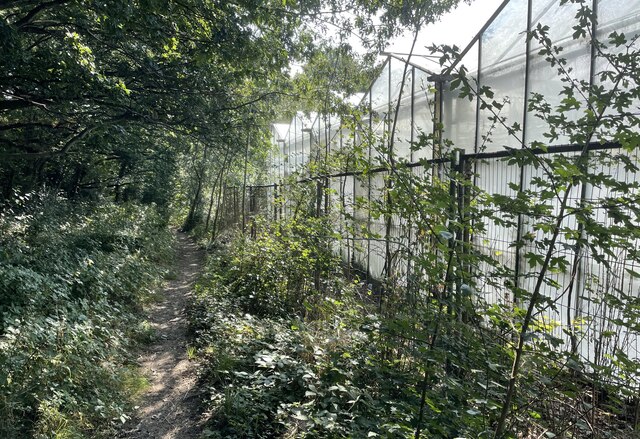
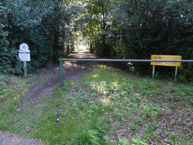
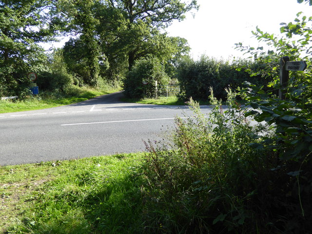
Walking through the copse, visitors are treated to a network of well-maintained paths that wind through the forest. These paths offer stunning views of the surrounding countryside and lead to hidden clearings, where one can find tranquil spots for picnics or simply to admire the natural beauty.
Guyhurst Copse is also notable for its historical significance. It has been documented that the wood was once used as a source of timber for the construction of local buildings and ships. Today, the copse serves as a cherished recreational area for nature enthusiasts, walkers, and families seeking a peaceful retreat from the bustling city life.
With its diverse wildlife, scenic beauty, and historical significance, Guyhurst Copse is a gem in the Sussex countryside. Whether one is seeking a quiet walk or an opportunity to immerse themselves in nature, this woodland offers an idyllic escape.
If you have any feedback on the listing, please let us know in the comments section below.
Guyhurst Copse Images
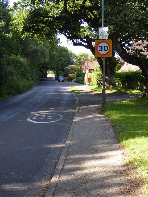
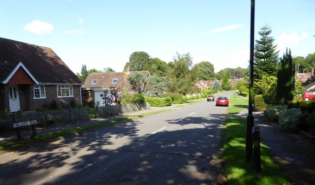
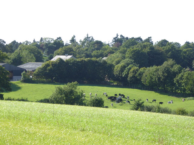
Images are sourced within 2km of 50.933868/-0.41990419 or Grid Reference TQ1116. Thanks to Geograph Open Source API. All images are credited.


Guyhurst Copse is located at Grid Ref: TQ1116 (Lat: 50.933868, Lng: -0.41990419)
Administrative County: West Sussex
District: Horsham
Police Authority: Sussex
What 3 Words
///lavender.dices.goodbyes. Near Ashington, West Sussex
Nearby Locations
Related Wikis
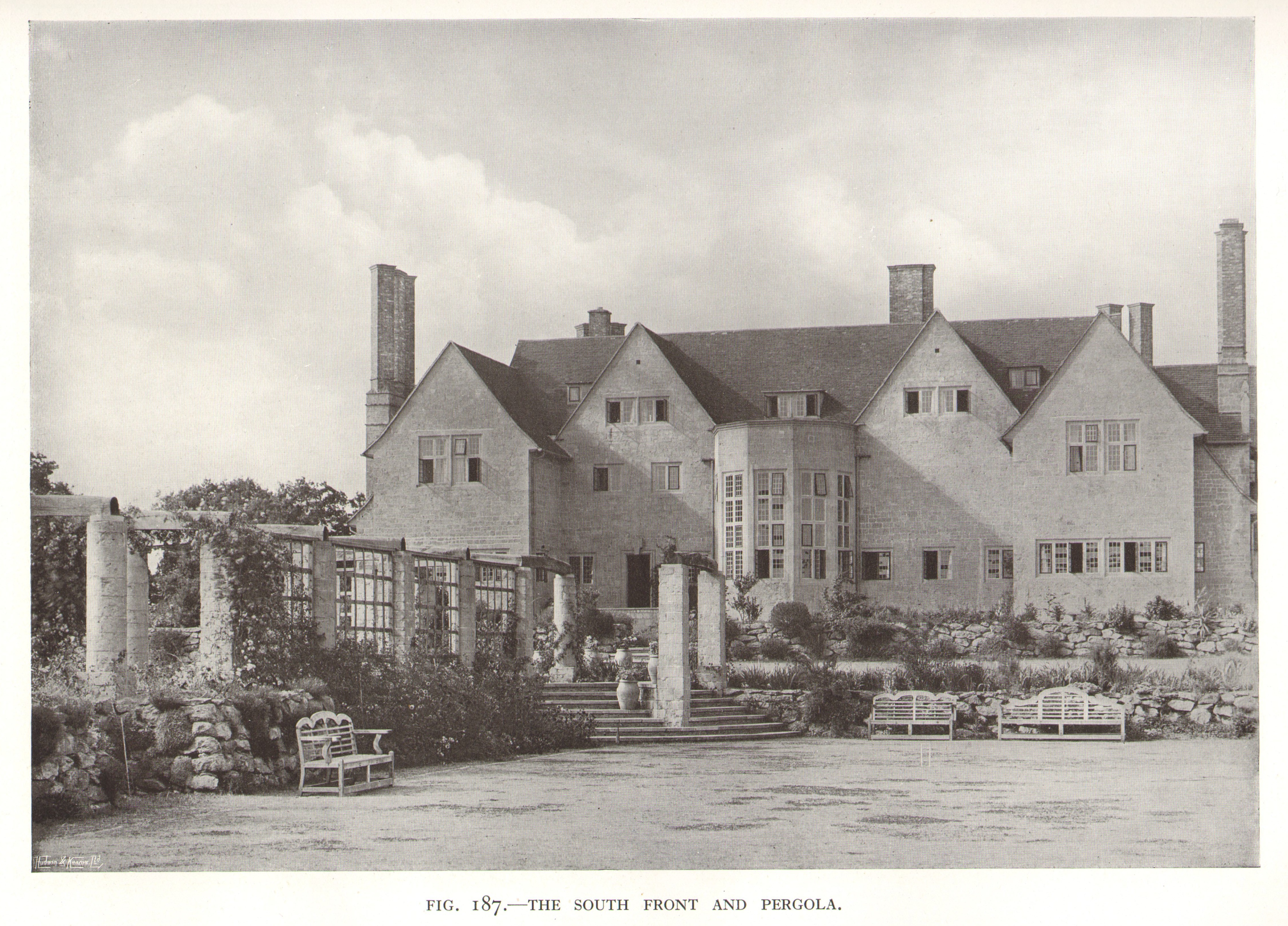
Little Thakeham
Little Thakeham is an Arts and Crafts style, Grade I listed private house in the parish of Thakeham, near the village of Storrington, in the Horsham district...

Warminghurst
Warminghurst is a village and former civil parish, now in the parish of Thakeham, in the Horsham district of West Sussex, England. It lies on the Ashington...

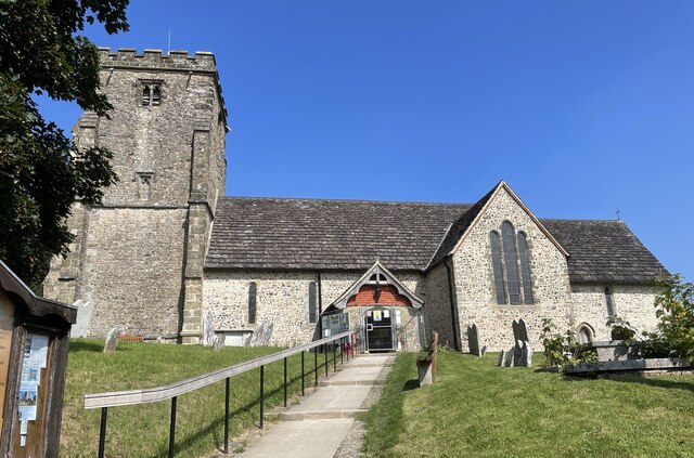
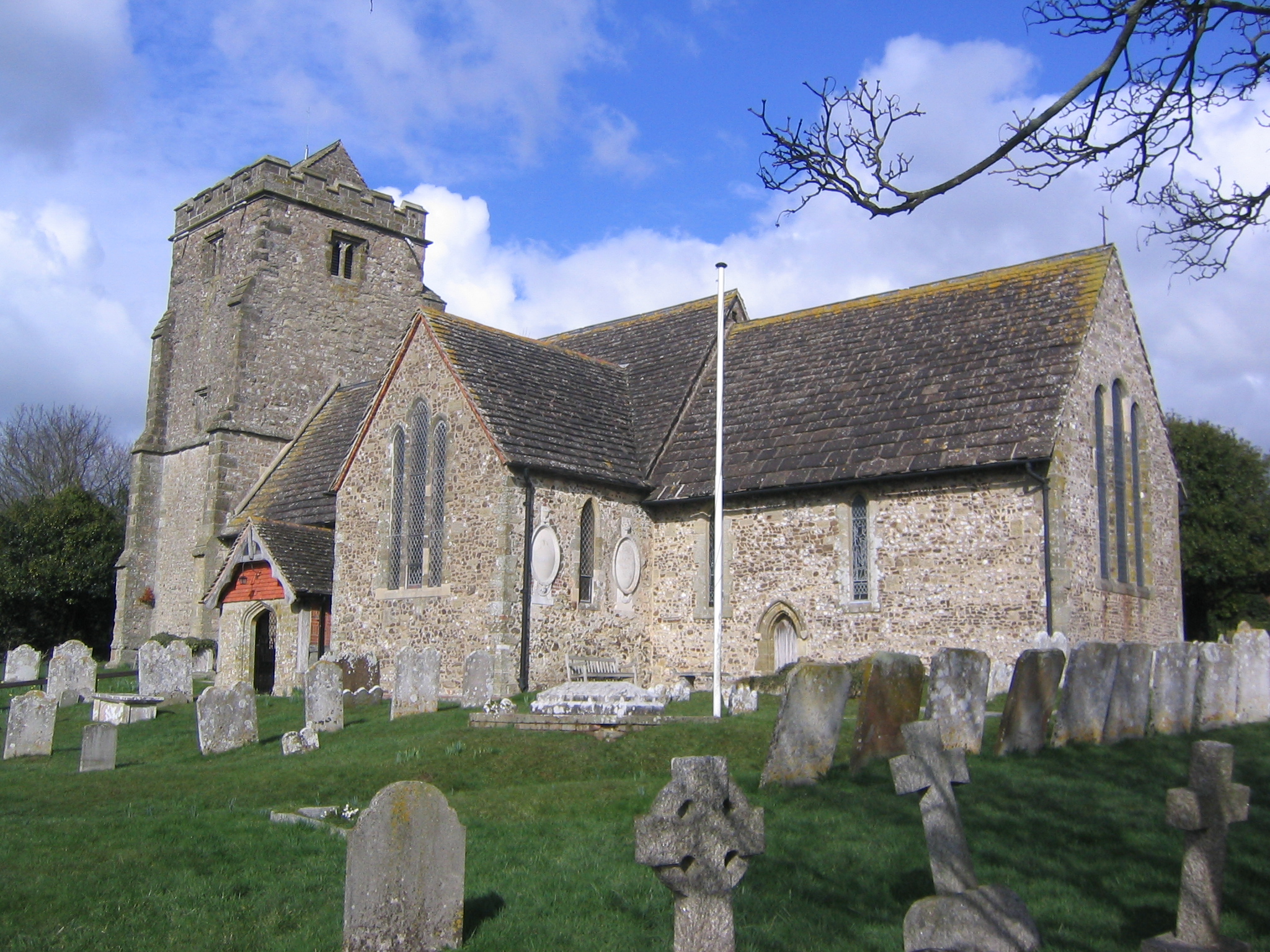
Church of the Holy Sepulchre, Warminghurst
The Church of the Holy Sepulchre is a former Anglican church in the hamlet of Warminghurst in the district of Horsham, one of seven local government districts...

Heath Common
Heath Common is a settlement in the Horsham District of West Sussex, England. It lies on the Storrington to Ashington road 1.5 miles (2.4 km) east of Storrington...
Thakeham
Thakeham is a village and civil parish located north of the South Downs in the Horsham District of West Sussex, England. The village is situated approximately...
Rydon Community College
Rydon Community College was a maintained comprehensive middle-deemed-secondary school for pupils aged 10 to 13. The school was located just outside Storrington...
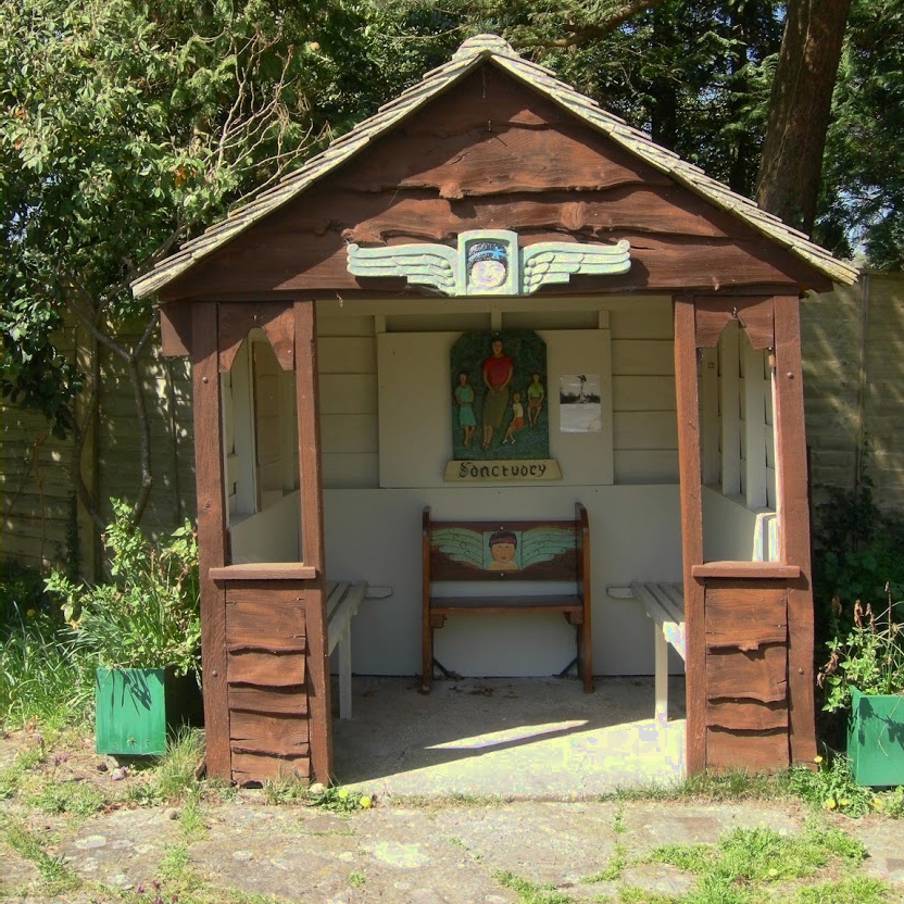
The Sanctuary (community)
The Sanctuary, near Storrington in West Sussex, England, was a utopian community which was founded in 1923 and lasted about a decade. == Founding and... ==

Ashington, West Sussex
Ashington is a village and civil parish in the Horsham District of West Sussex, England. It lies on the A24 road 3 miles (4.8 km) north-east of Storrington...
Nearby Amenities
Located within 500m of 50.933868,-0.41990419Have you been to Guyhurst Copse?
Leave your review of Guyhurst Copse below (or comments, questions and feedback).